#9 in the series.
“We’ve got an aggressive schedule and we are already behind!” the lady announced as she and her husband rolled through the door as soon as we opened. “There are several things we want to see, but we absolutely have to see Capitol Reef.”
“You do know that Capitol Reef is nearly on the other side of the state, right?” Kirsten responds. She works them through a couple of itineraries. There was some back and forth between the couple, a duel of sorts. They’re still going big though, so I suggested they download some maps due to poor cell coverage. Her husband says, “My son showed me how to do that, that’s a good idea!” I give a refresher and they are out the door to far-flung points.

A young lady comes in wanting to loop up to Natural Bridges National Monument with her friend. She’s excited about the day. It’s already around 2pm, so I ask a few questions. And then finally,
“There won’t be any gas stations until you loop back to Blanding, are you good on gas?”
“How far is that?”
“Maybe 70-ish miles?” I reply.
“Oh, I have almost half a tank, I should be good.”
Sometimes a crowd shows up all at once. Sometimes there is a little marriage counseling involved. Sometimes, someone just wants to talk.
There seems to be about 10 percent of the folks that are not looking for much more than a restroom. Or a place, like the native plant garden, to allow their pet to relieve themselves. Although it’s not posted, the BEEC doesn’t allow animals into the garden space. A nose full of prickly pear might not be the best. One lady came inside from the garden with her dog looking for a restroom. When she was told that she couldn’t have it inside or the garden, she said she’d put it in the car and come back in. She didn’t but she did leave us a full doggy bag in the parking area. LOL. Offended I guess.
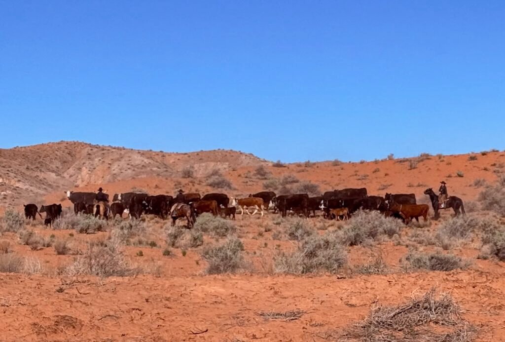
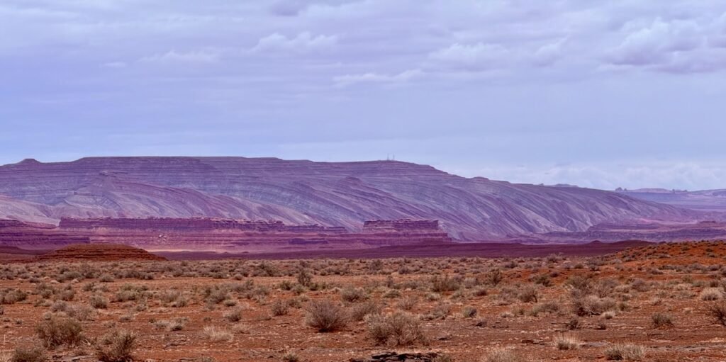
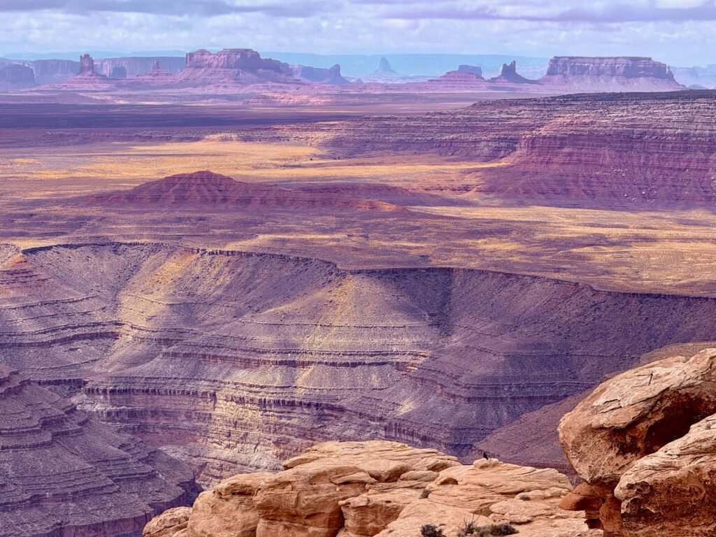
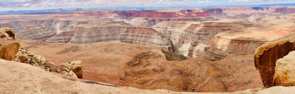
But these folks are few and far between. The vast majority are interested in Bears Ears and intrigued by the co-stewardship of the five Tribes, the BLM, and the National Forest Service. And they are concerned about how the National Monument will fare under the current administration. By and large, all talk is engaging, fun, and upbeat. And of course, tall tales are told.
“I’ve got to charge my phone and pee!” my favorite visitor (so far) declared as she came through the door in a blur, prioritizing her needs. Popping the charger in an outlet, phone on the floor, she heads for the loo.
She sold her house last August and has been cruising the countryside in an old Prius. Well, judging by the canyon dust, much more than just cruising. The car is packed to the gills and she’s sleeping in it (or under the stars!). And she has now found herself a happy place for a couple of hours. The BEEC has fast and free internet/WiFi. It’s well-suited to being a tambo (Quechua for a place of rest), or maybe an eddy (more on that in the future).
She’s looking for someone to talk to and I fit the bill. We talk all things at length; the Bears Ears Partnership, places to see, politics, and the meaning of life. We eventually come around to the Prius, something I am quite familiar with. She tells me how a mechanic thought it was in great shape and that her oil quality and level looked fine. On the road six weeks later, she decided to get the oil changed, and the quick lube place told her that the level was terribly low, very dirty and that she could have damaged her engine! So she had it changed. I cautioned her about the quick-lube places and said I would trust the mechanic’s word over theirs. I looked the car over, the oil was now fresh but a little over-filled. There were three different air pressure readings in the tires. A leak or just bad service? I noticed that whoever replaced her new tires had also replaced two of the valve stems but left the original 2007 pressure monitoring stems on the other two, a good source for leaks. Their batteries were long since dead and didn’t work anyway, they should have been replaced. She’d put a piece of black tape over the low-pressure warning light inside (we have done just the same thing to ours lol).
I see this shop treatment all the time and it makes me mad. A woman seems to always get different treatment at many of these places. Just ask my wife and daughters. A good mechanic is gold.
“Do you have an air compressor?”
“No, but I could use a bicycle pump.”
“Yes, do you have one?”
“No.”
“Have you checked the air pressure in your spare?”
“I did two years ago when I had to use it.”
“How about the auxiliary battery in the back?”
“Yes, I replaced that!”
After a few more pointers and a good charge on the phone, she was off to explore. I love it. I wondered later if her model had an auxiliary port buried in the center console like ours was. She may not even know it’s there…
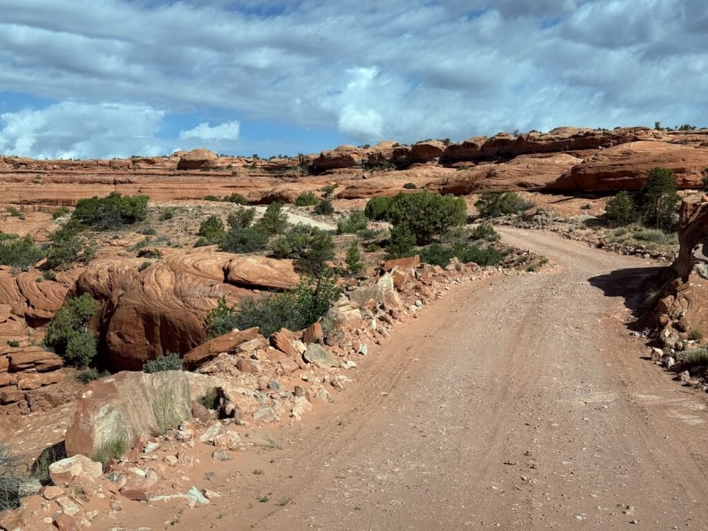
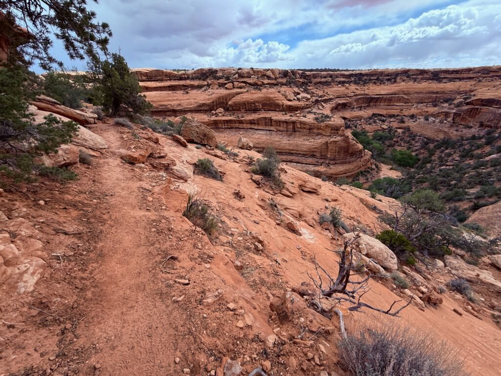
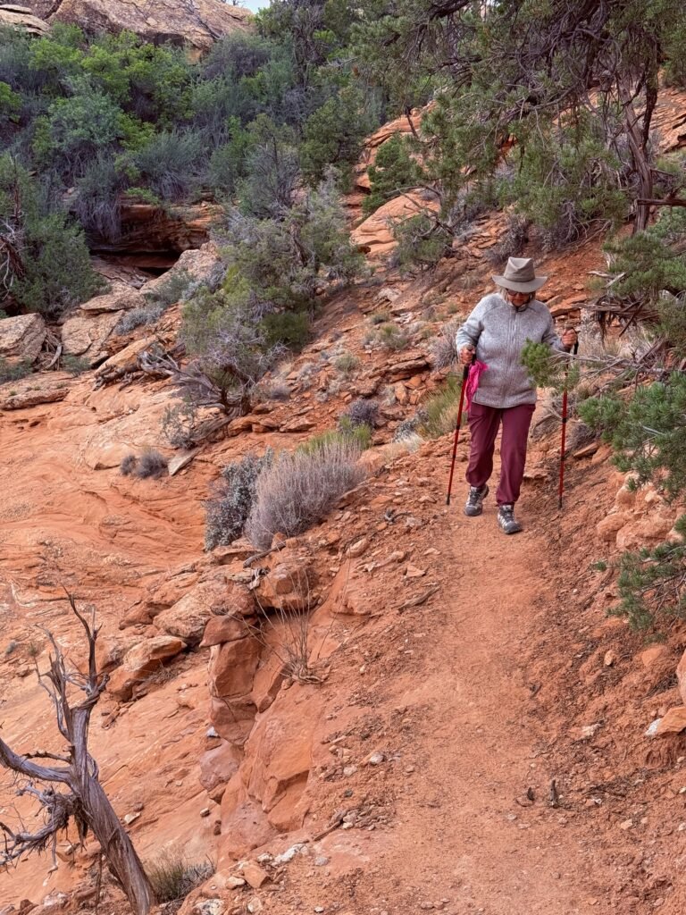
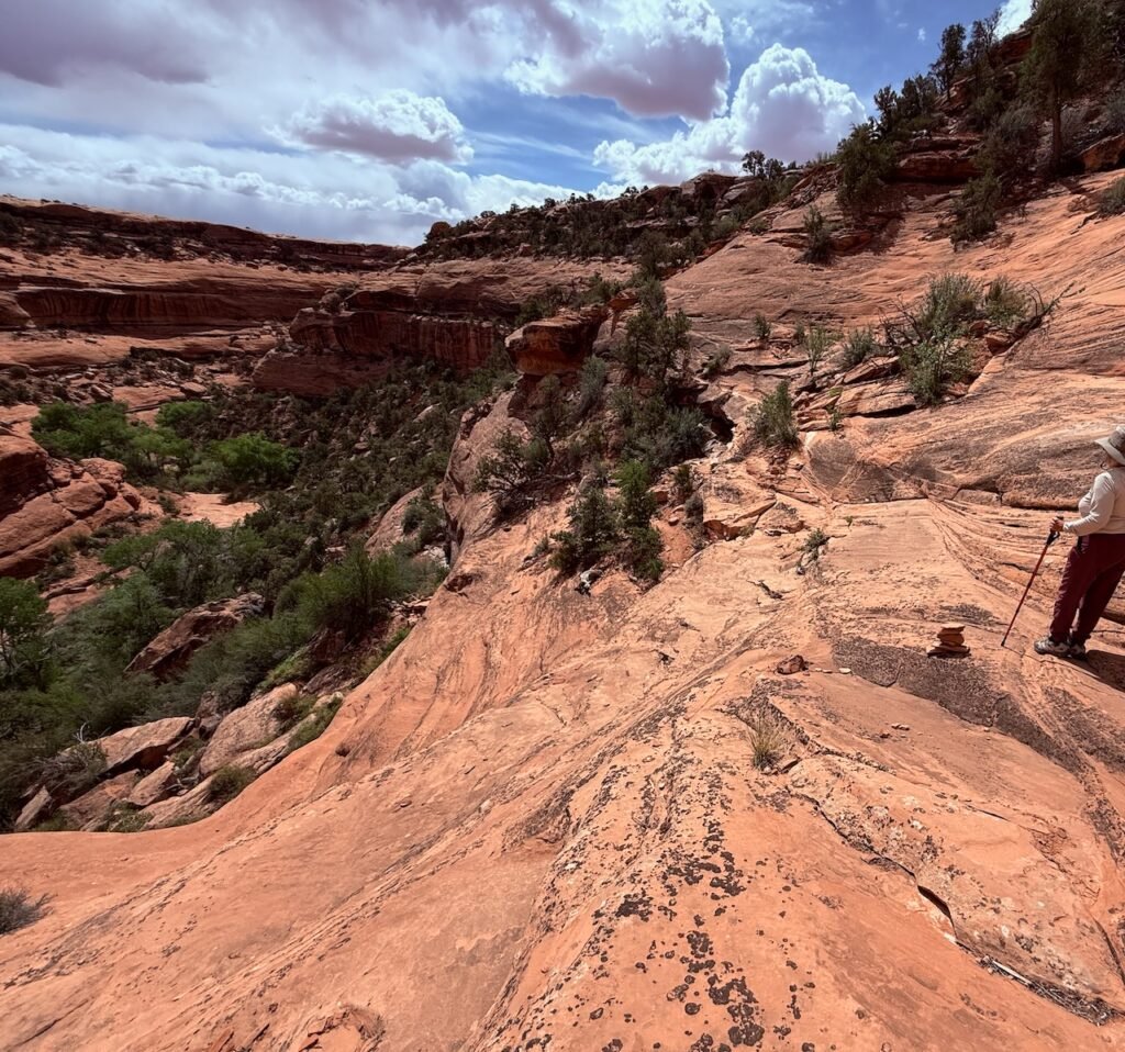
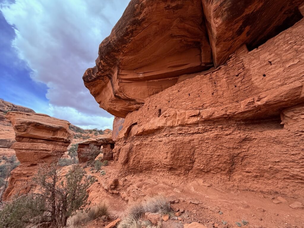
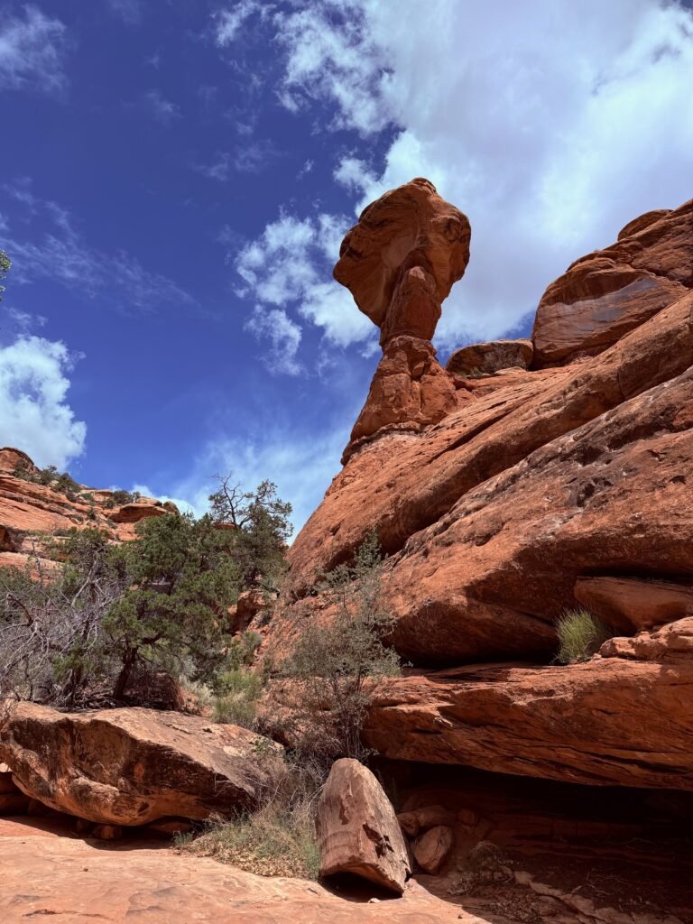
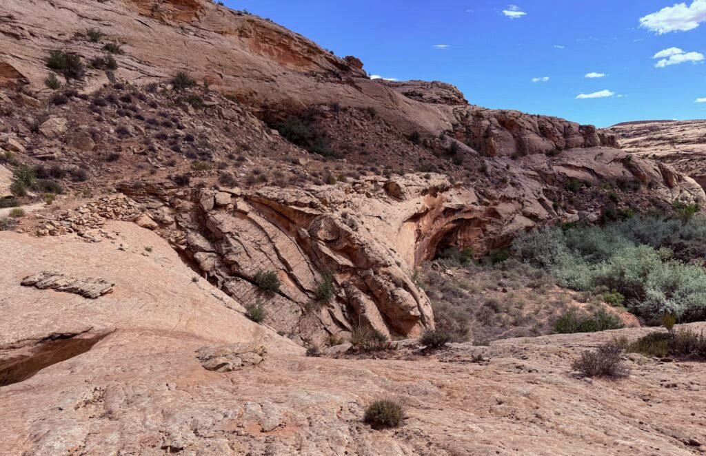
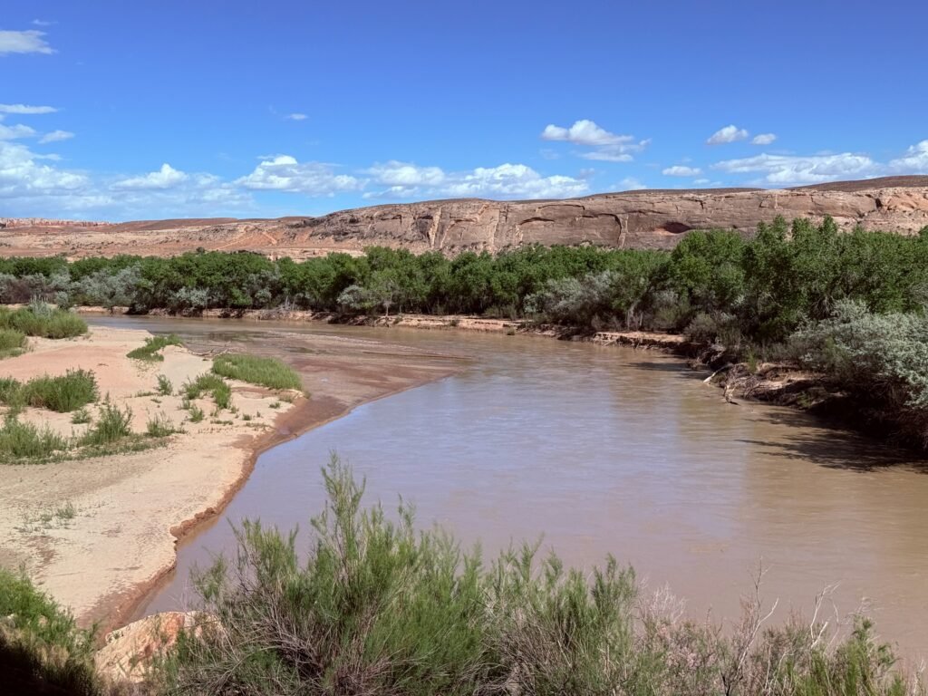
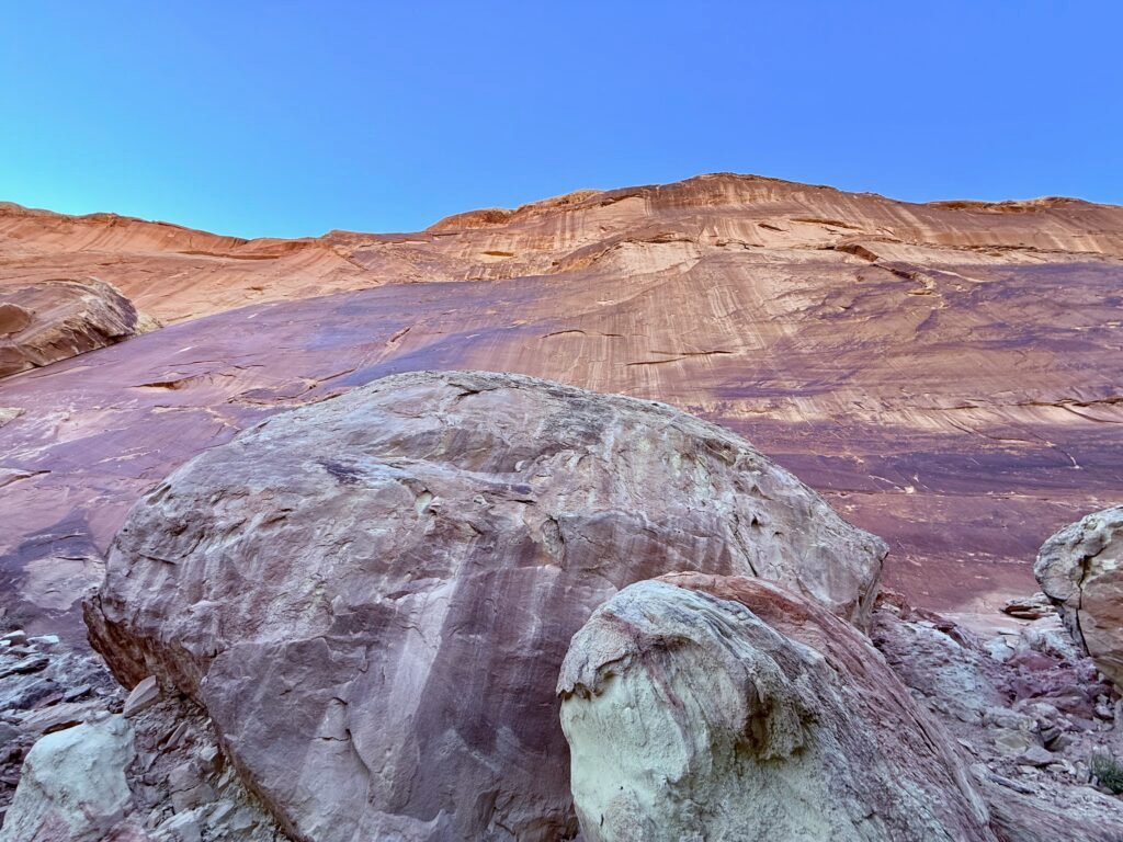
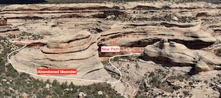
After “work,” we wandered up Cottonwood Wash road. A family had worked for years to find buyers that could conserve their land and protect it from development. Finally the Wildlands Conservancy acquired the 320 acres of Speaking Springs, situated next to the monument.
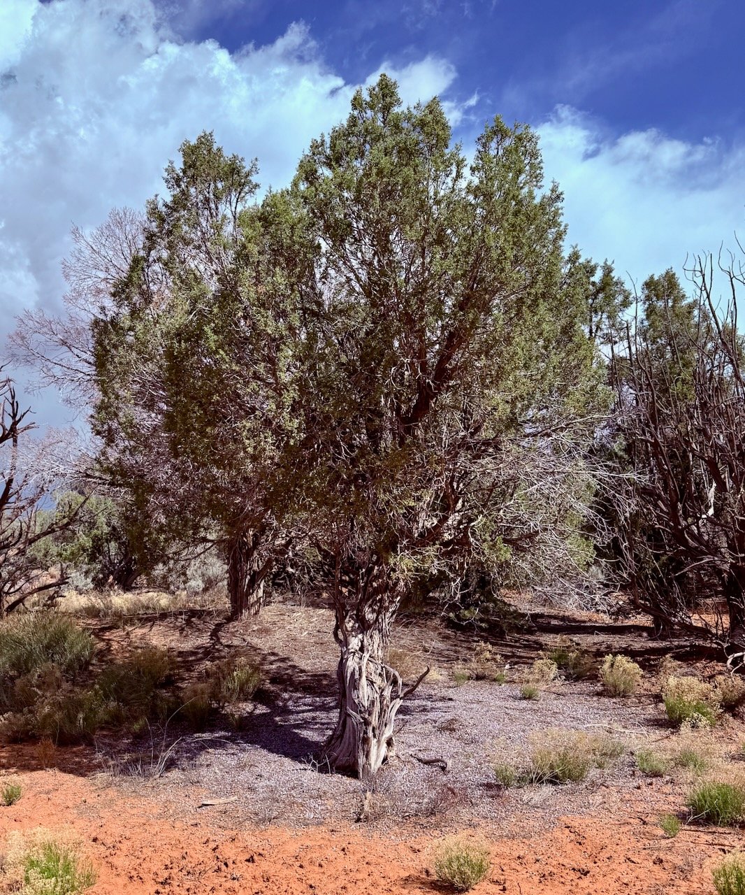
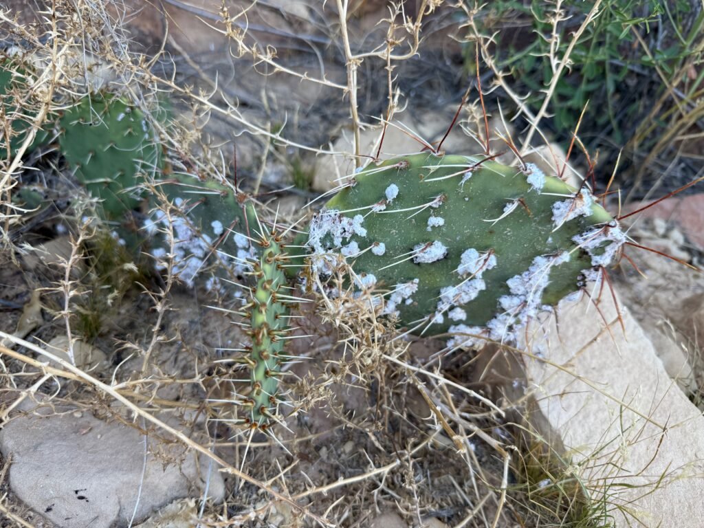
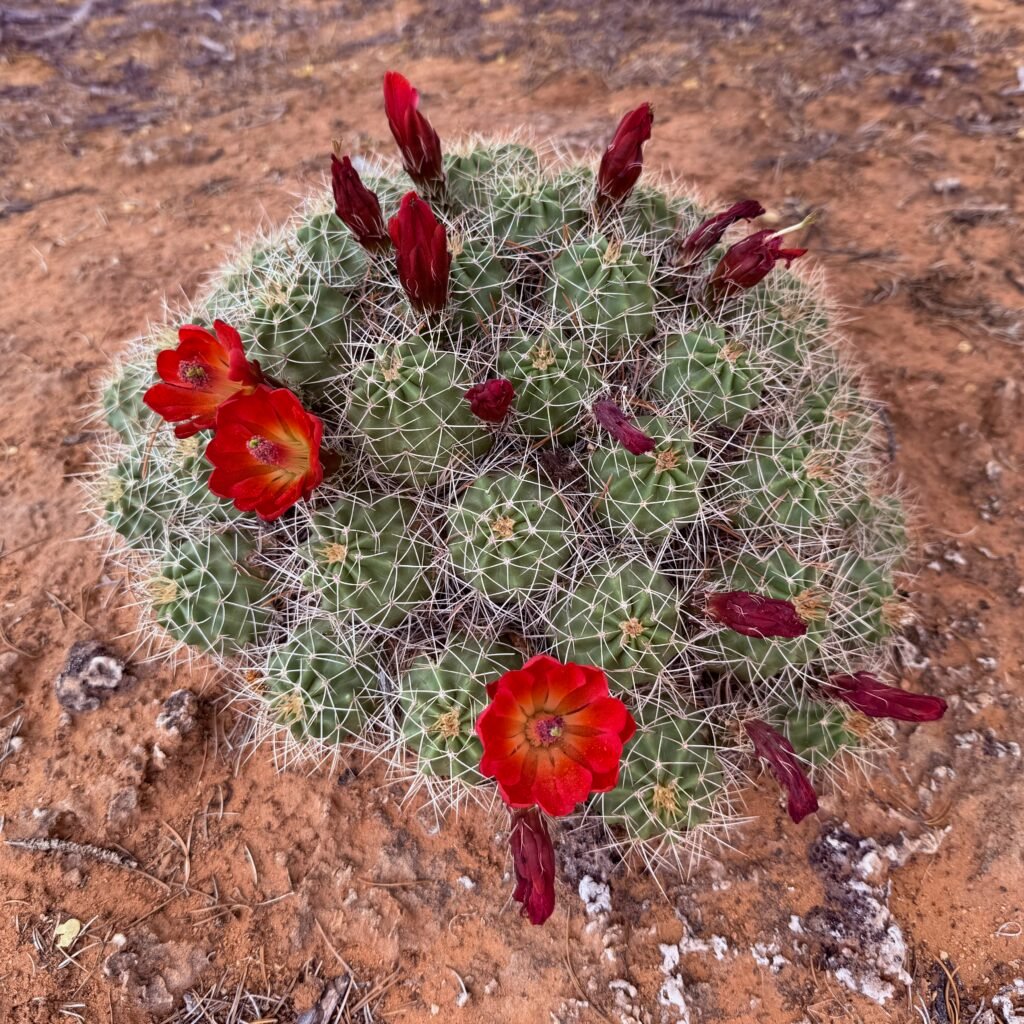
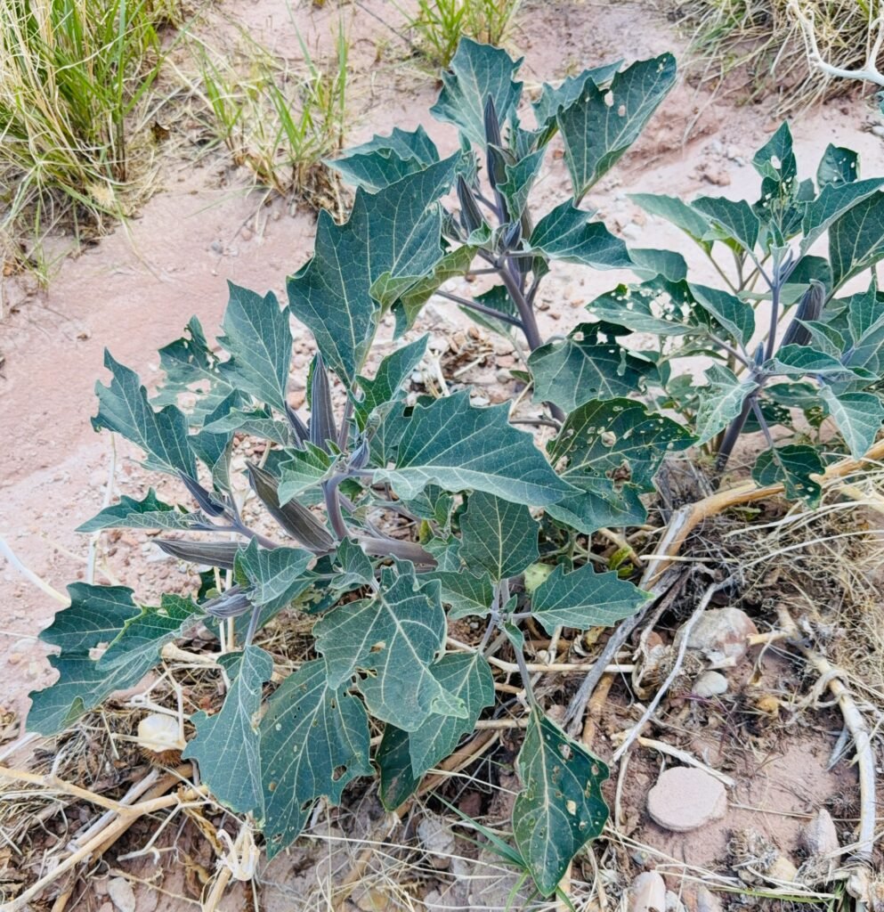
So many blooms. And we found a “Sacred Datura.” Used for centuries for various things. Medicinal, spiritual, recreational. Also known as Western Jimsonweed, it can be deadly and all of it is poisonous.
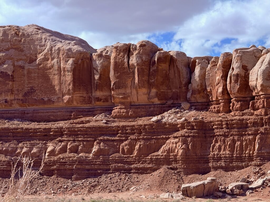
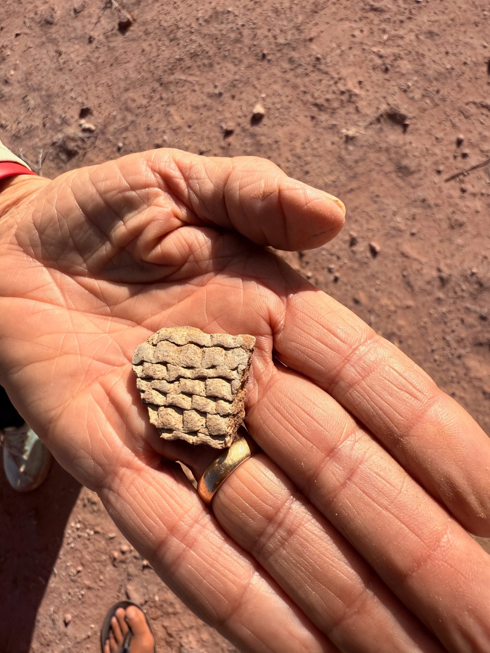
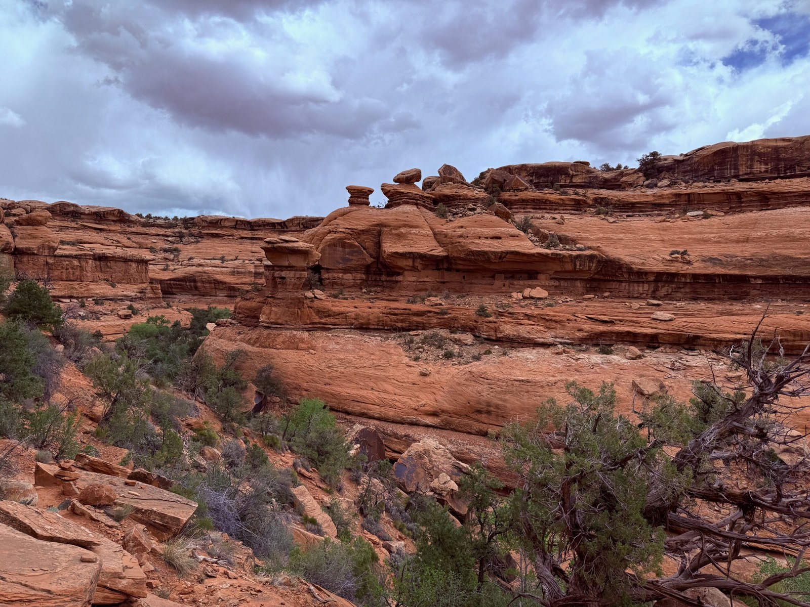
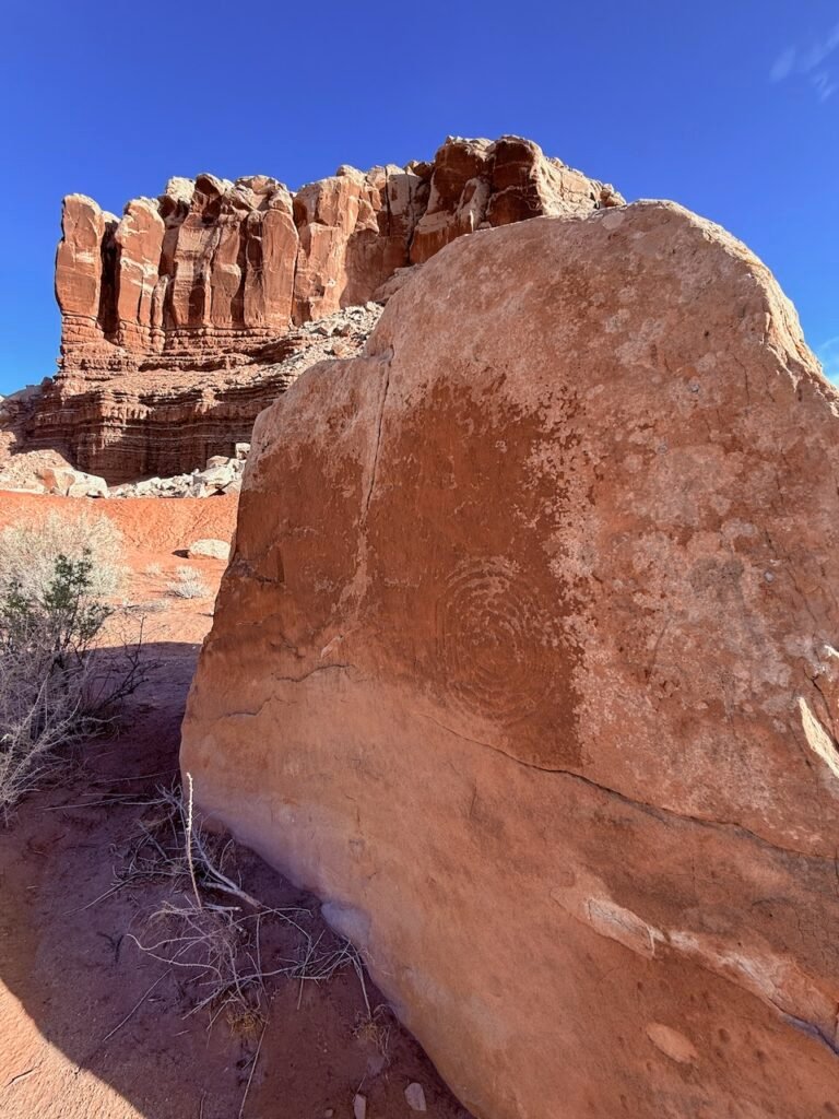
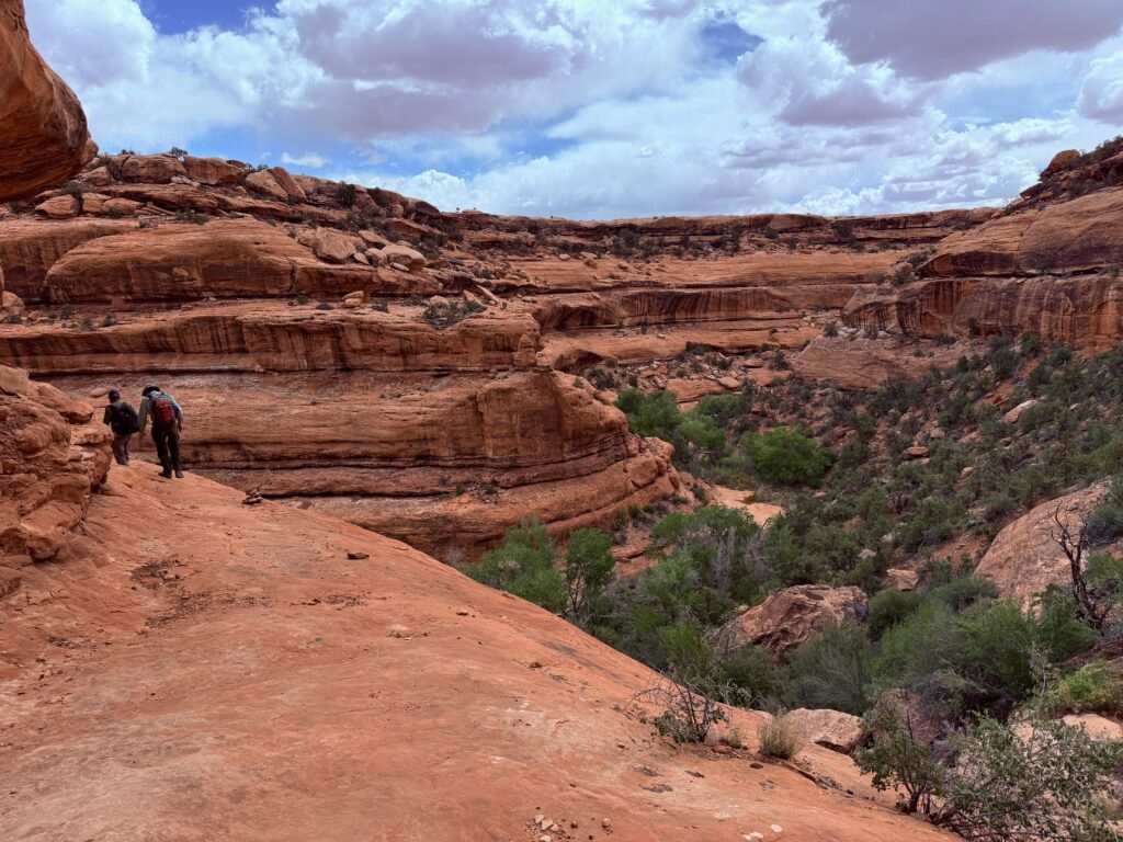
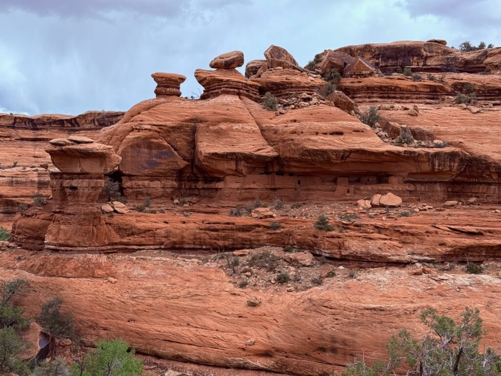
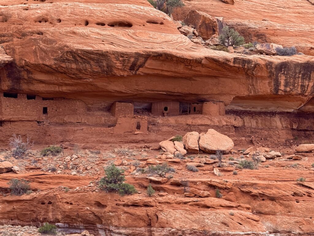
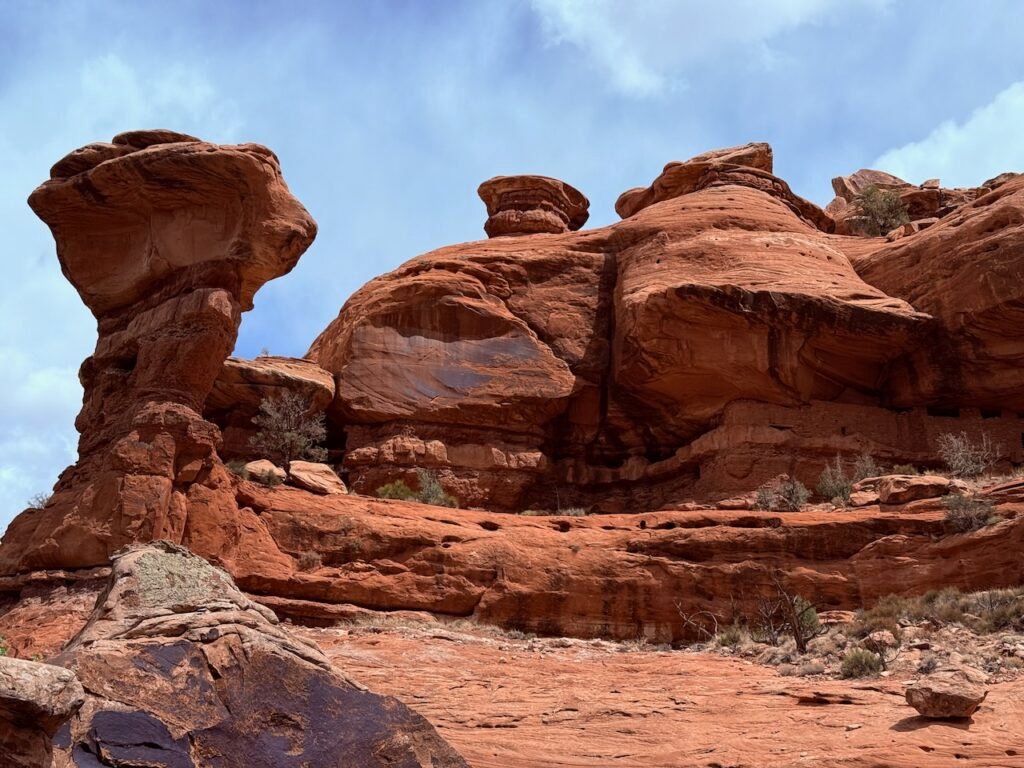
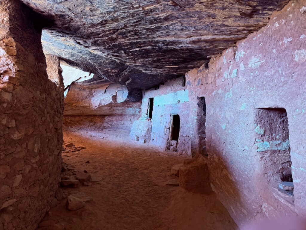
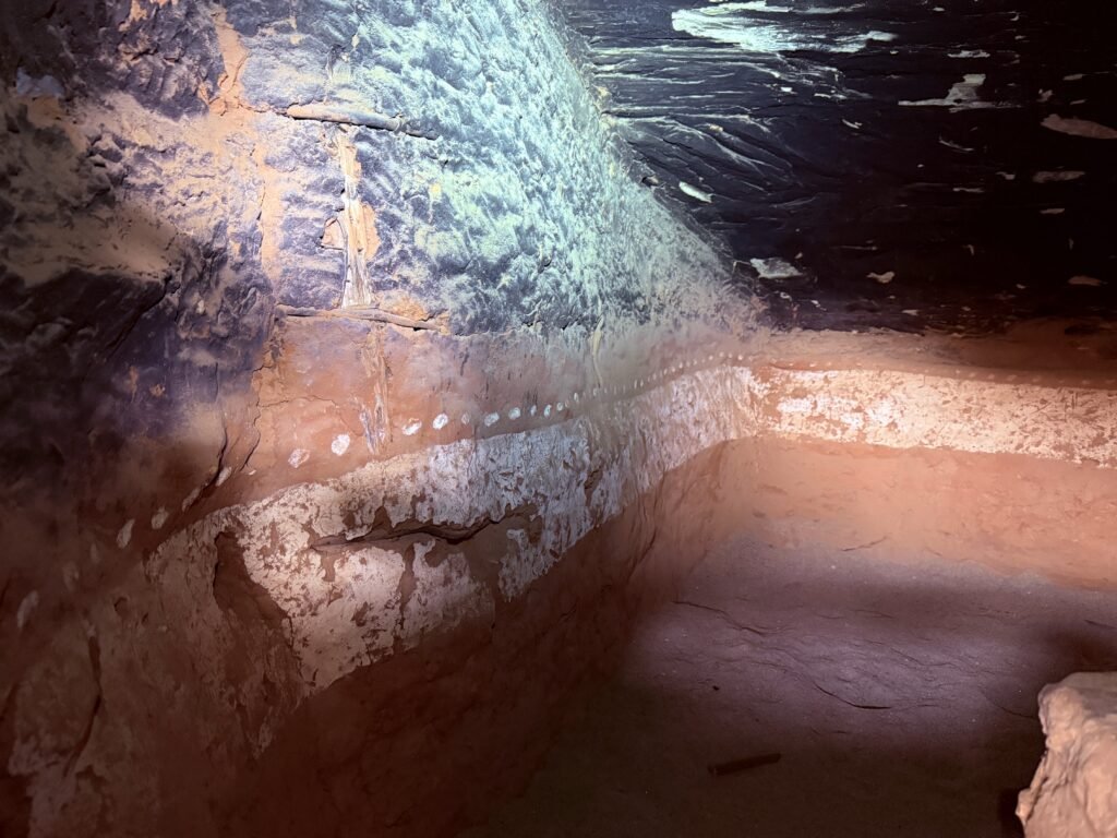
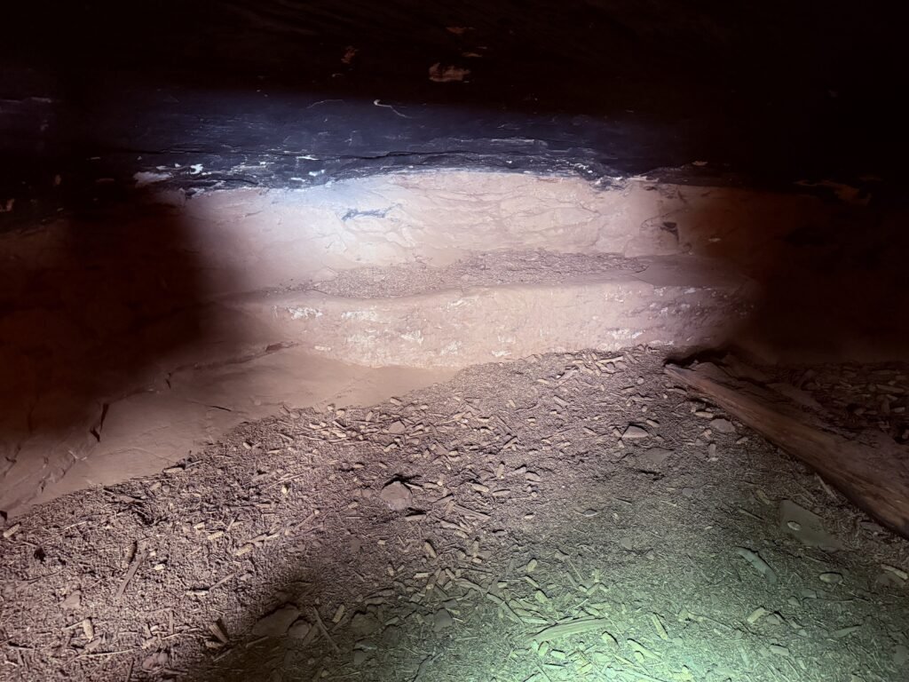
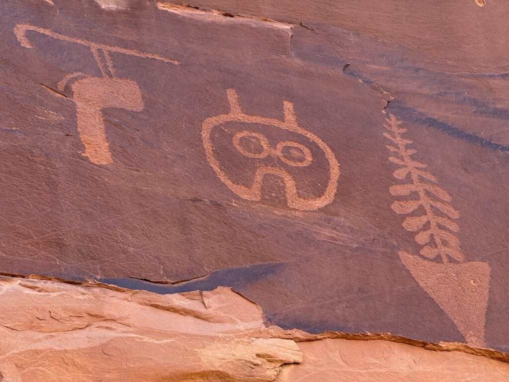
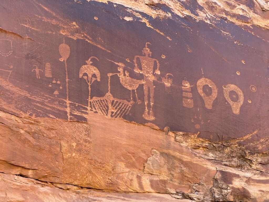
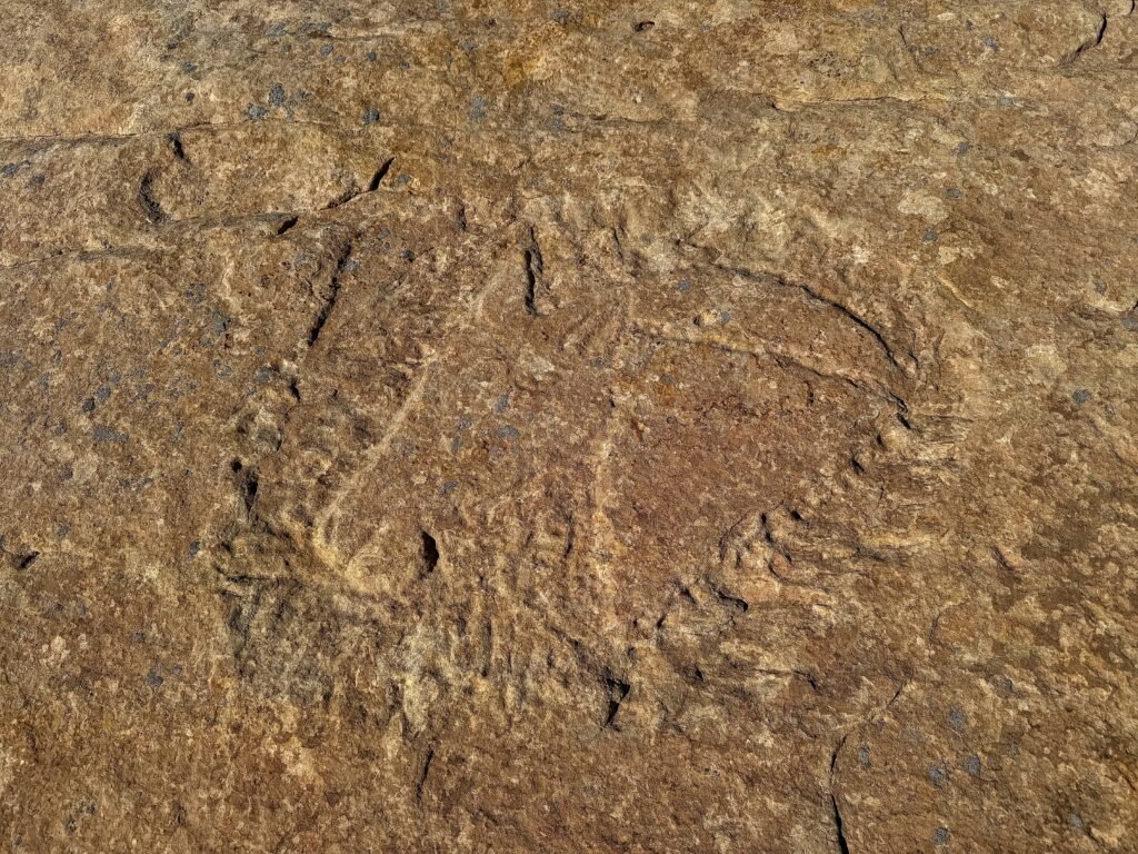
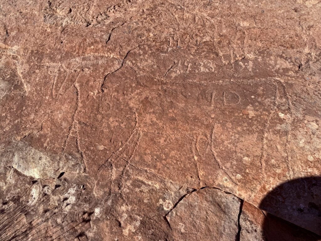
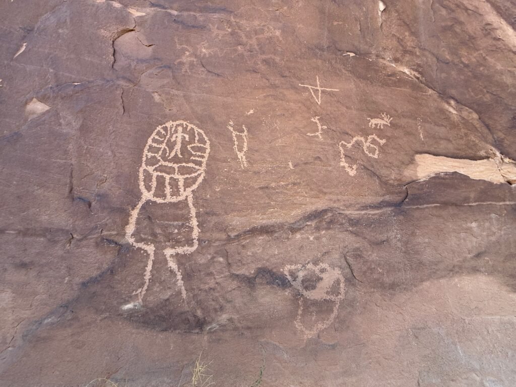
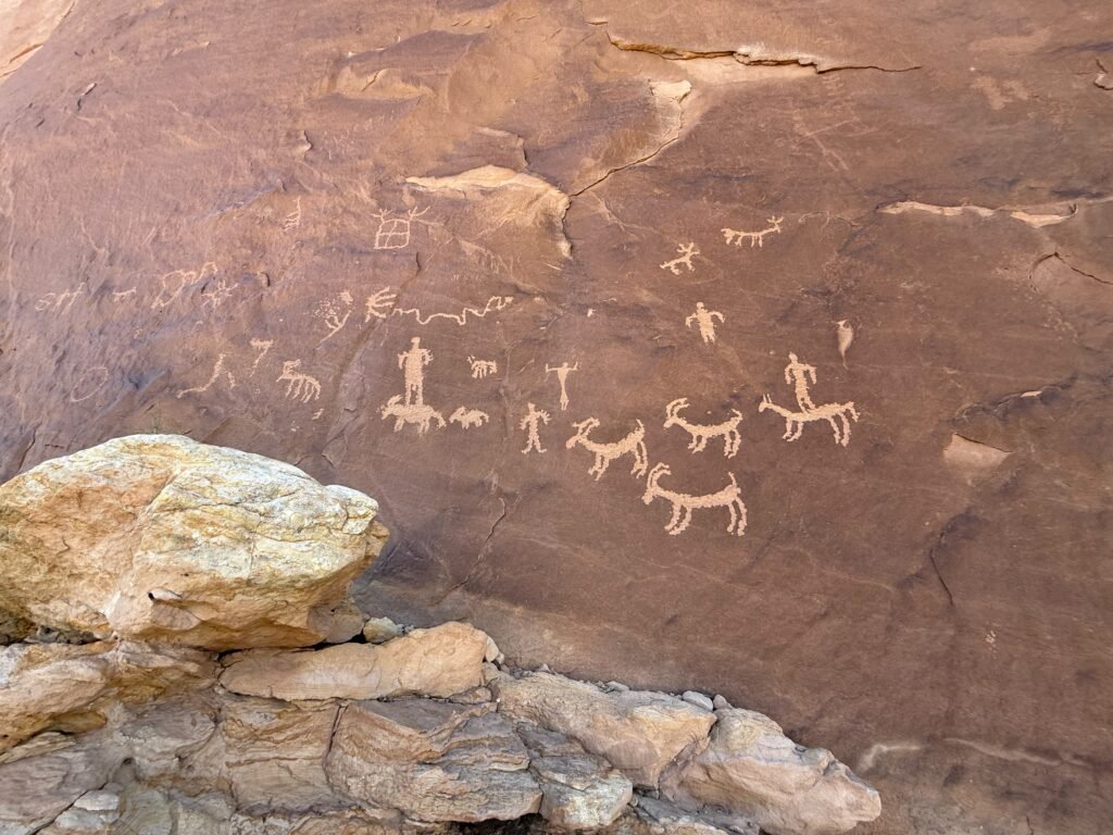
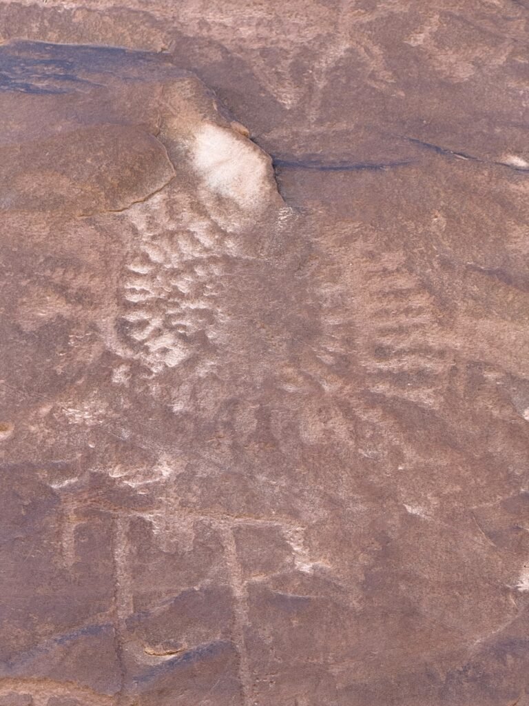
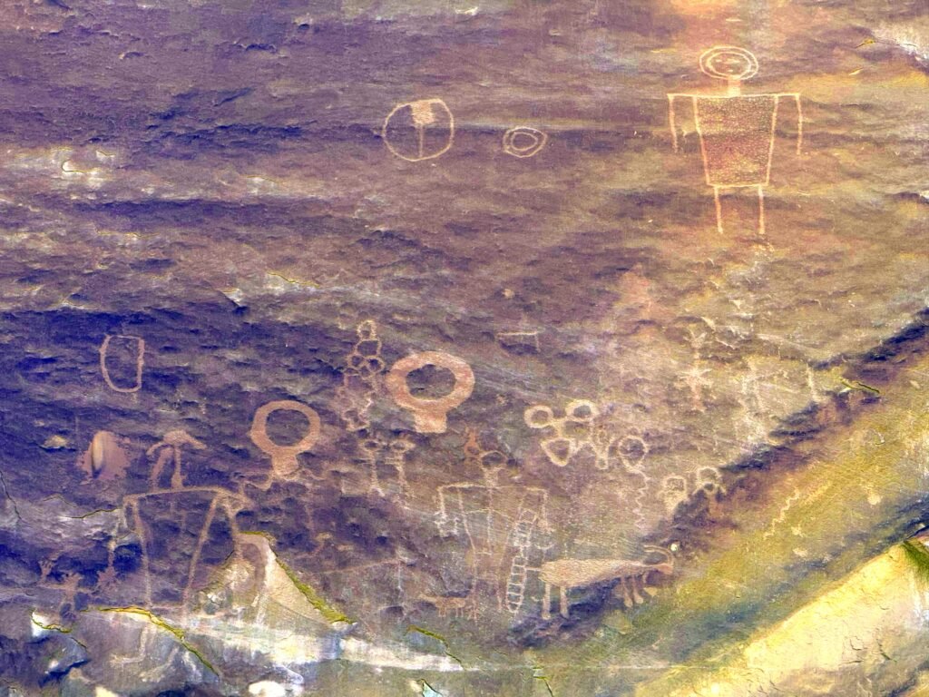
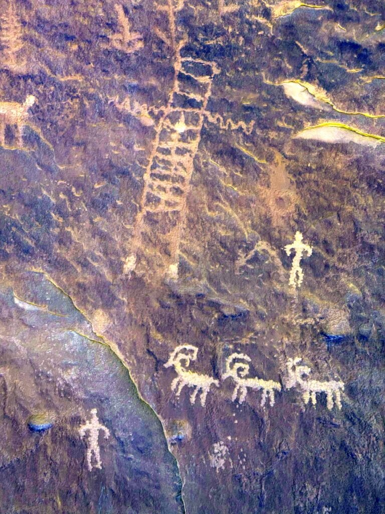
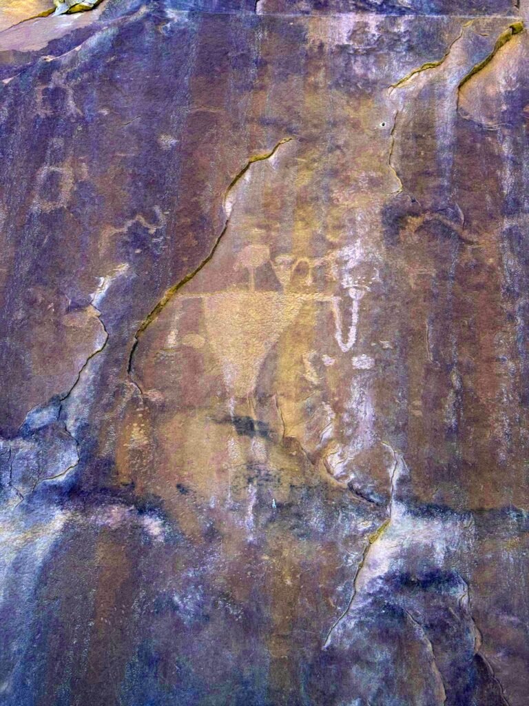
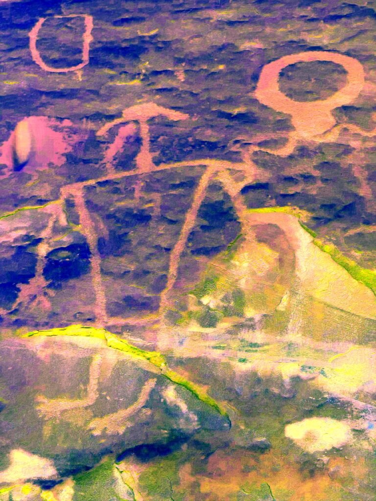
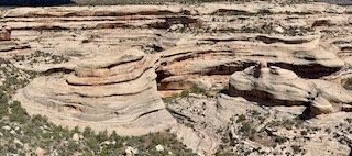
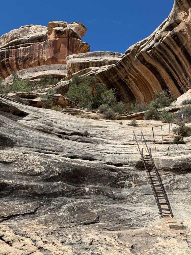
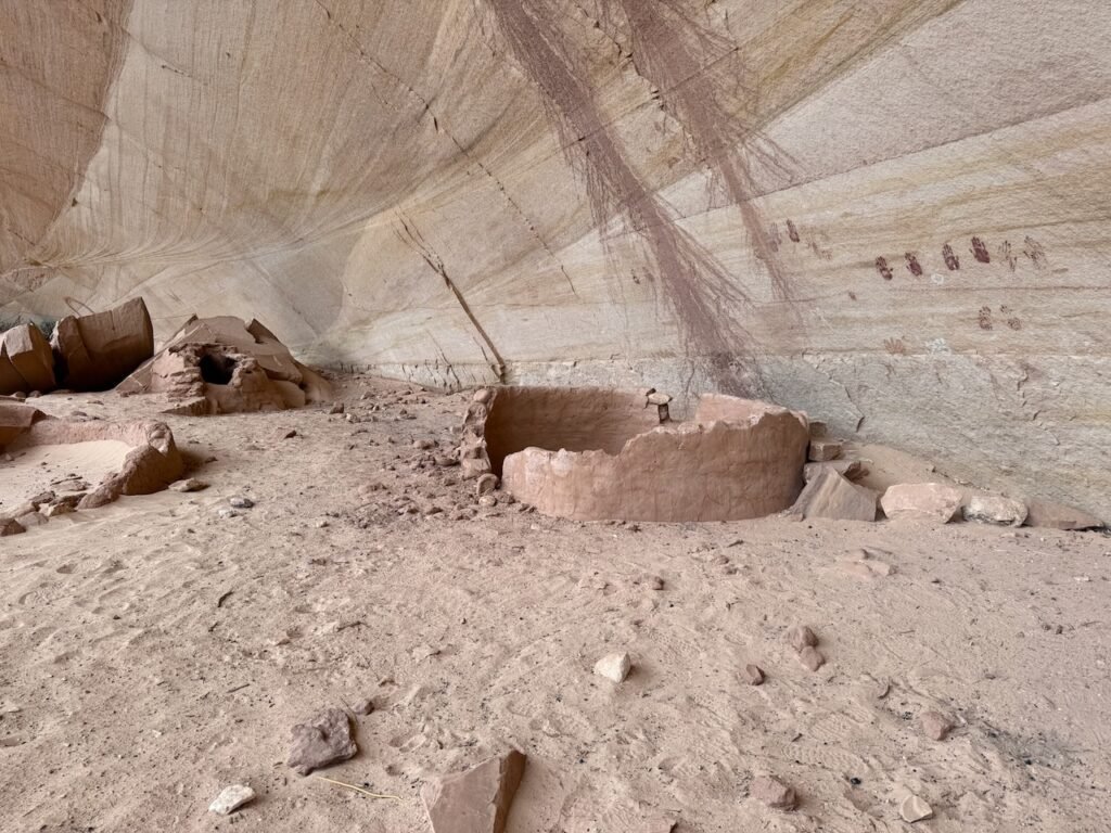
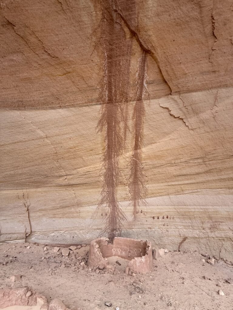
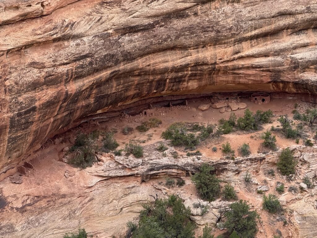
A nice way to stretch the legs and we found small storage ruins tucked up under the sandstone cap rock. Patricia even spied some pottery sherds in the washes below.
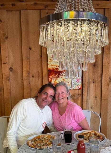
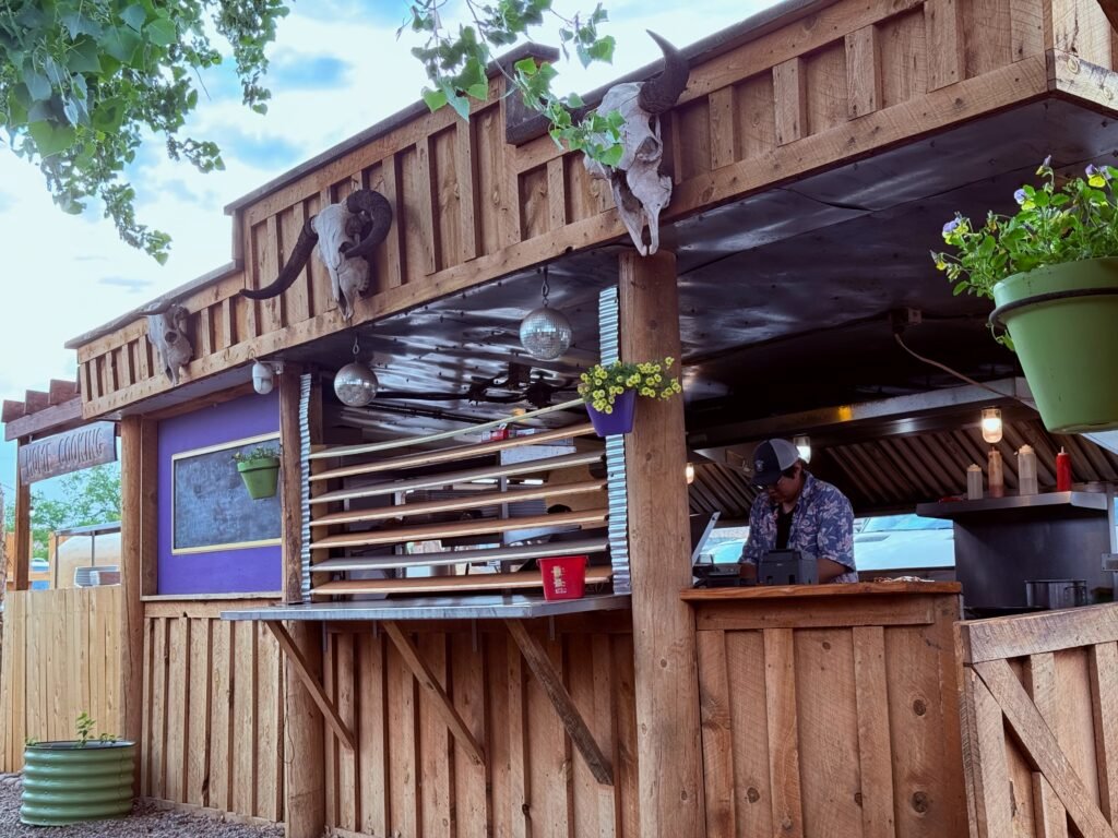
And for dinner – you guessed it – we’re back at Comb Ridge. The chef now waves at me when we come in. Tonight our waiter is Charles, and he likes to sit down and chat a bit as folks decide what they want to eat. It’s gonna be the Funky Chicken pizza, there’s just something about those pickles. We talk about “therapy day” and Charles understands it. As a waiter, he’s an ear to talk to and a shoulder to lean on.
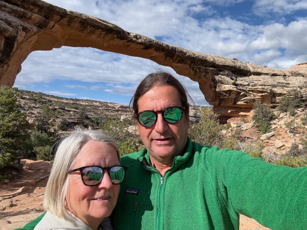
As we settle in, a couple comes up and greets us by name. They had been in the BEEC early in the day and they just wanted to thank us for all the advice and information. They had a great day on the landscape. I’m just glad they made it out alive…
We actually saw several people that had been through the Center in the past couple of days. When Charles returns, I tell him that we’ll have to keep the therapy discussion low, we may have “clients” in here! He nods, “I know nothing.”
A fine day. Tomorrow we’re aiming for House on Fire and a few places nearby.