#14 in the series.
Carolyn responded, noting that our plan to visit friends in Denver was already a pretty long drive.
Well, Fry Canyon and the head of Glen Canyon is up that way, how could we not? Besides we’ve been through Moab a few times now and would rather do something a little different. I mean it only adds an hour or two to our 7-hour trip!
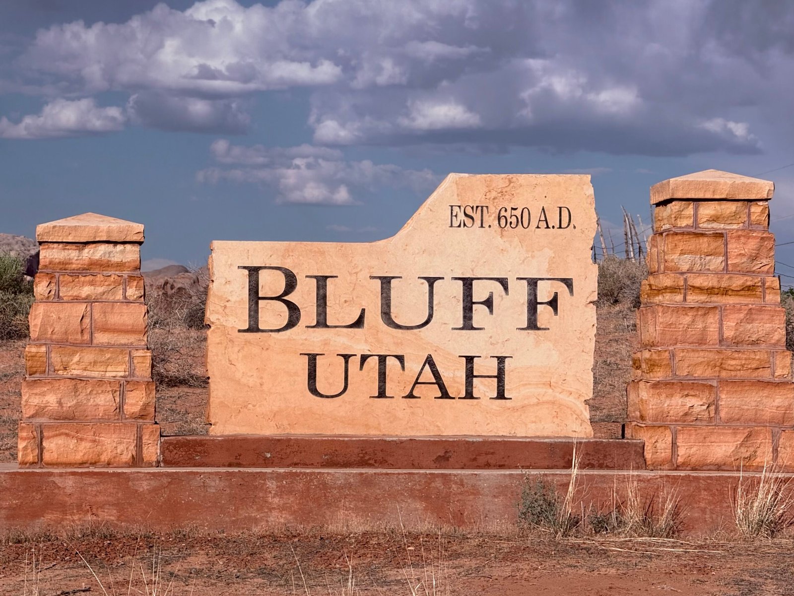
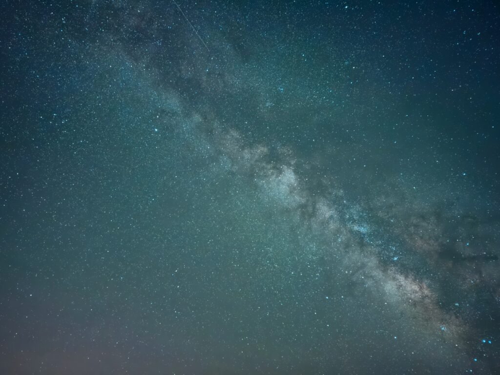
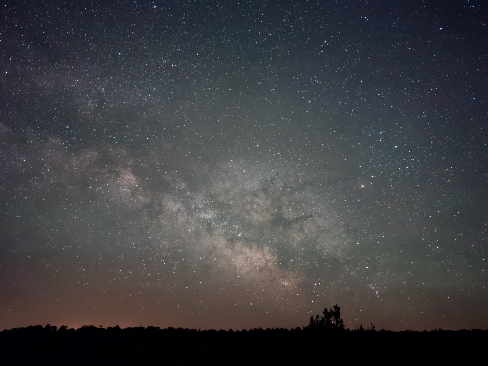
We left Bluff around 5:30am and by sun up we were well on our way along the Trail of the Ancients, Utah’s scenic highway 95. We saw only four cars in over 120 miles.
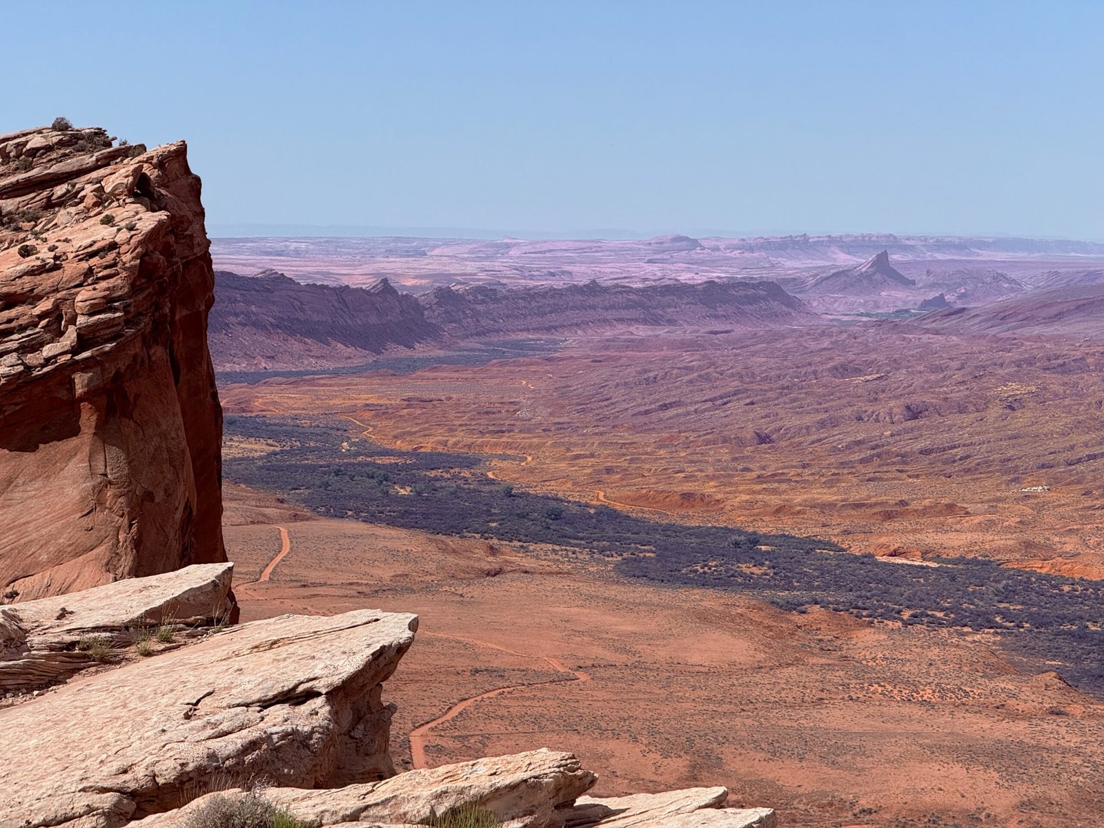
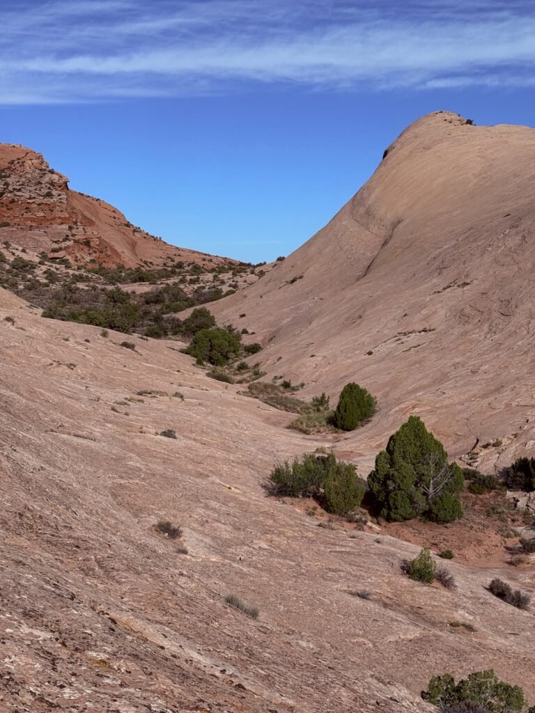
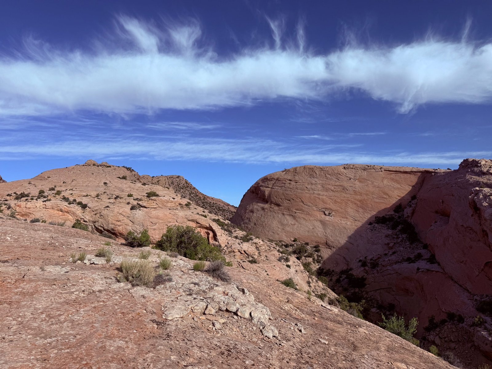
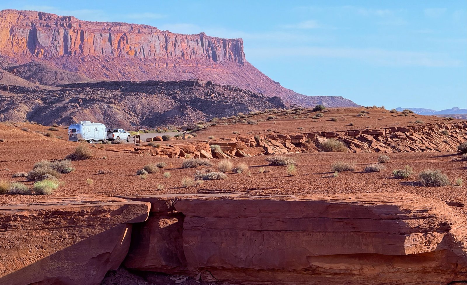
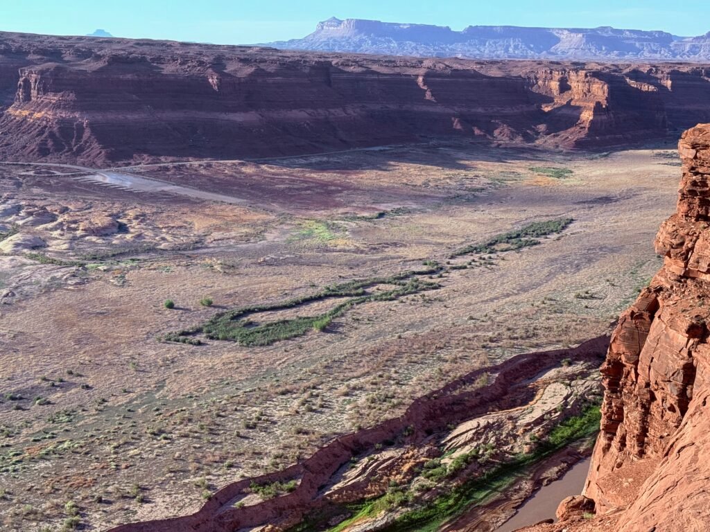
It was worth it too. The descent into Fry Canyon was beautiful…and I just shouldn’t have been driving. Fortunately the road was wide, the hairpins were few and I was able to keep it on the road.
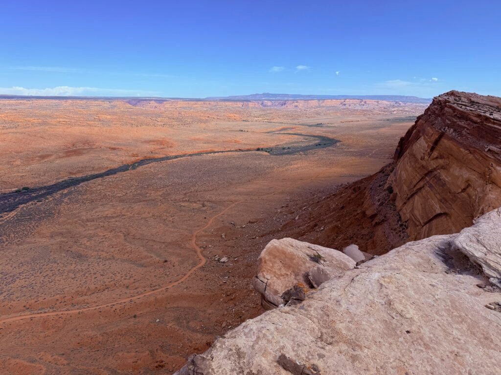
We dropped over a rim onto a 10 percent grade down to Hite Crossing on the Colorado. Near the crossing we came upon a bike packer. He was literally standing in the middle of the road waving an empty water bottle to whoever might pass by! No way were we going to speed by without talking to him!
A European – I’m guessing German – he had flown into L.A. and was just touring around the U.S.A.! He said he had really been careful researching his water stops, but the Hite boat ramp was closed and the road gated. Completely out of water he was becoming desperate enough to try and hike down to the Colorado, no easy feat.
Gauging his sanity, I asked him how much he could carry. He said, “A little over two gallons.” Ok, I thought, he knows what he is doing.
I dug out our emergency 5-gallon jug and we loaded him up with all he could carry, even asking if he wanted one of our collapsible containers. He said he thought he had enough, he was aiming for Natural Bridges National Monument today. Sooo doable. I mean, it’s a mere 58 miles away with only the 10 percent grade to the rim and then the climb out of Fry Canyon to the top of Cedar Mesa! Looking back, he had already come 48 miles since his last reliable water in Hanksville.
Jeez.
As we were buttoning up, I noticed that he had drained the water out of his quart Coke bottle. I yelled, “Do you want us to fill that up again?”
“I don’t want to bother you.”
“What will bother me is not filling your bottle up again.”
And away he went. A nice morning for a ride. I’m actually a bit envious.

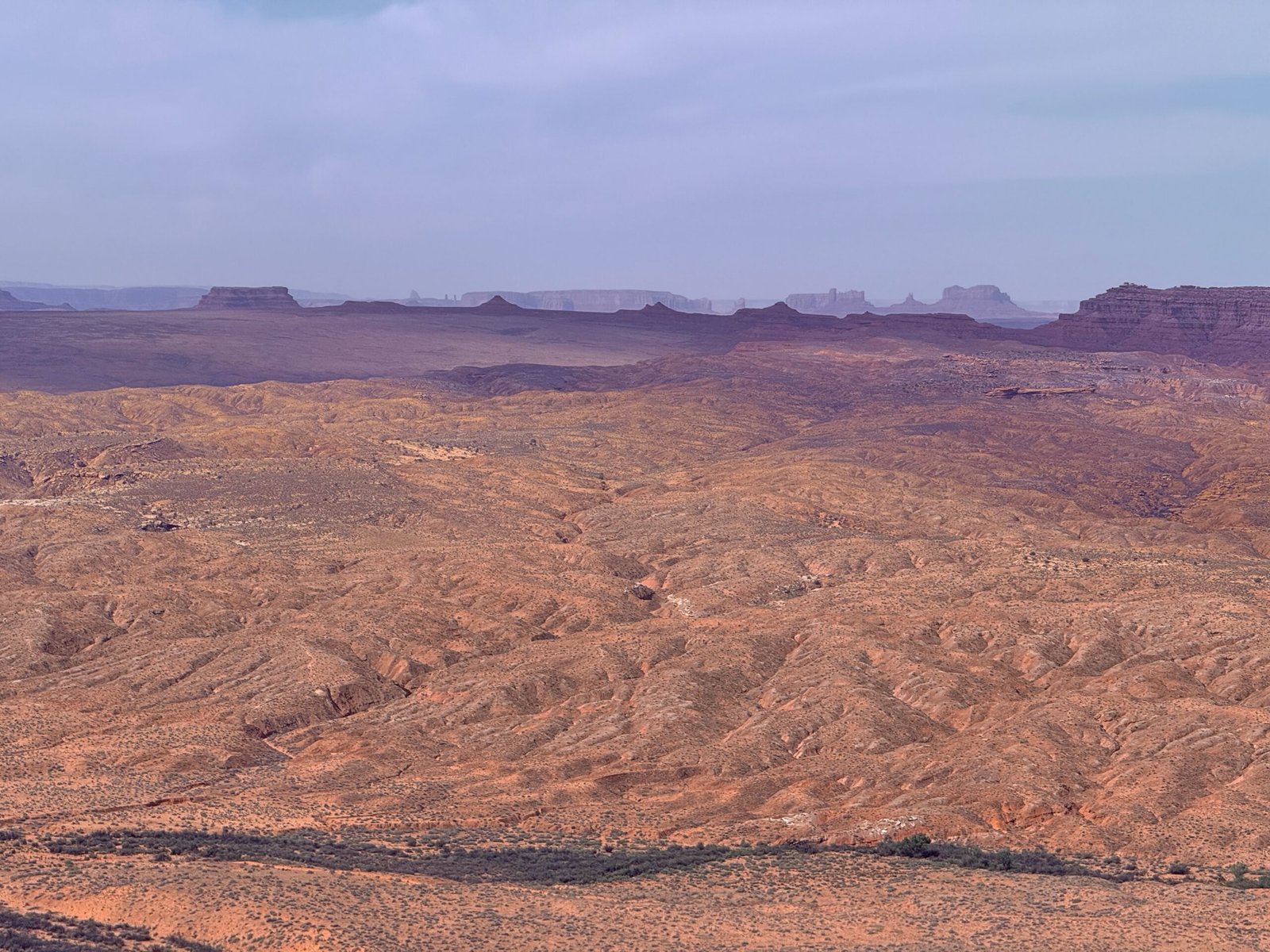
The boat ramp at Hite Crossing has been closed for a while due to the dropping water level in Lake Powell. To put a boat in requires 4WD and nearly a one-mile drive to the river. The high water mark for the lake was in 1983 and it has been dropping ever since. The dam was not constructed with river-level outlets and “dead pool” is over two hundred feet above the river bed. If the lake drops to this level, no water will get into the Colorado River downstream. A very big deal with the convoluted water rights and millions depending on it.
Working in the BEEC, I had access to all of the books for sale, as well as their library. So many books, so little time!
Zak Podmore’s “Life after Dead Pool” is a great read and it discusses the water situation and possible outcomes for Lake Powell. One of which is a chance to resurrect Glen Canyon by sending the water down to Lake Mead where it can be better utilized.
An older book “Cadillac Desert” by Marc Reisner is a fascinating read on the water wars of the West, but also includes the dam-building era in the East. It made me sad to learn the true history of Tellico Dam. Pure pride alone caused this dam to be built, displacing over 10,000 people and serving nearly no purpose at all. This final dam on the Little Tennessee, what the Cherokee called “the Long Man” helped to erase thousands of years of history and culture for the people of this land.
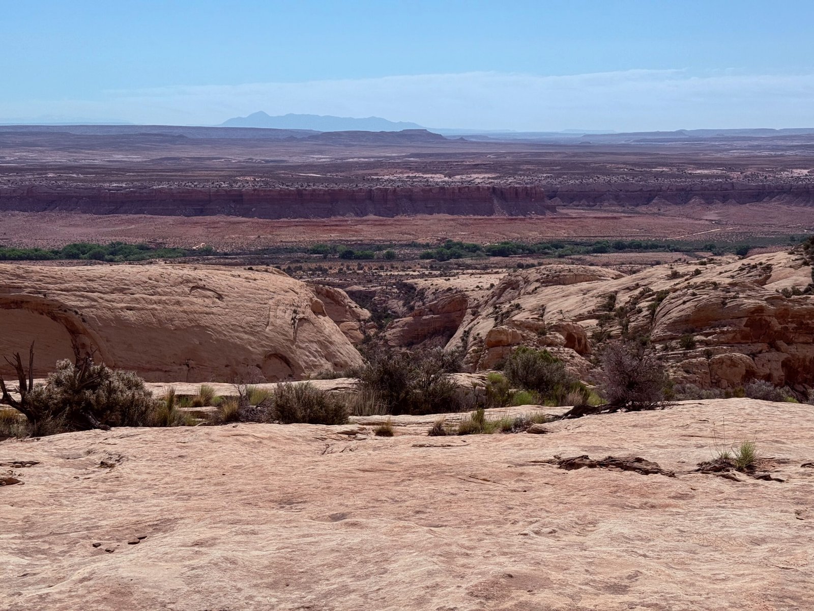
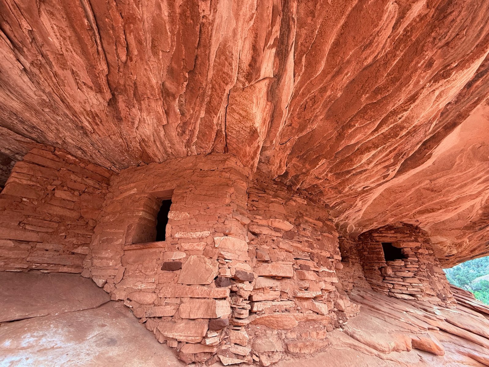
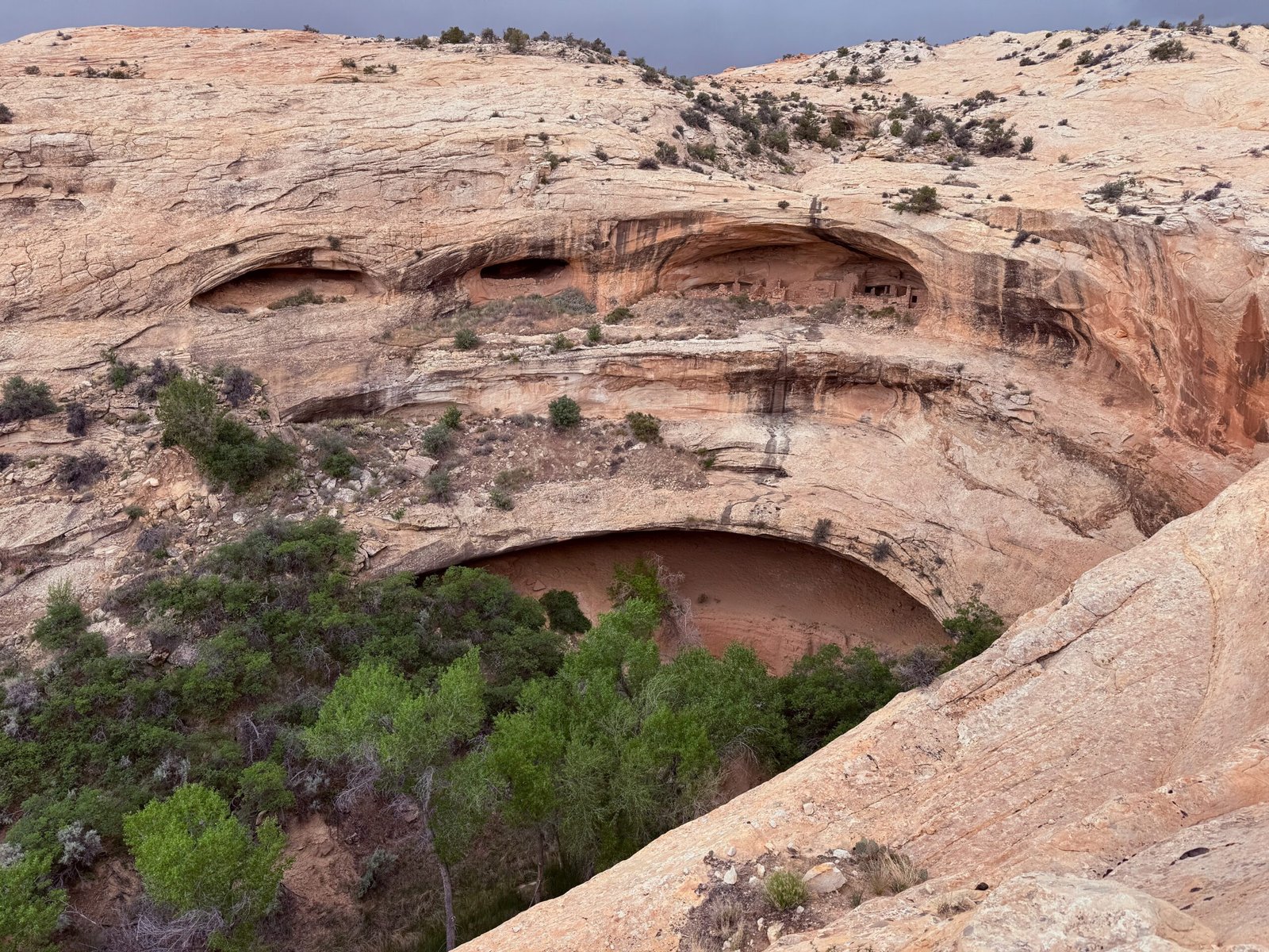
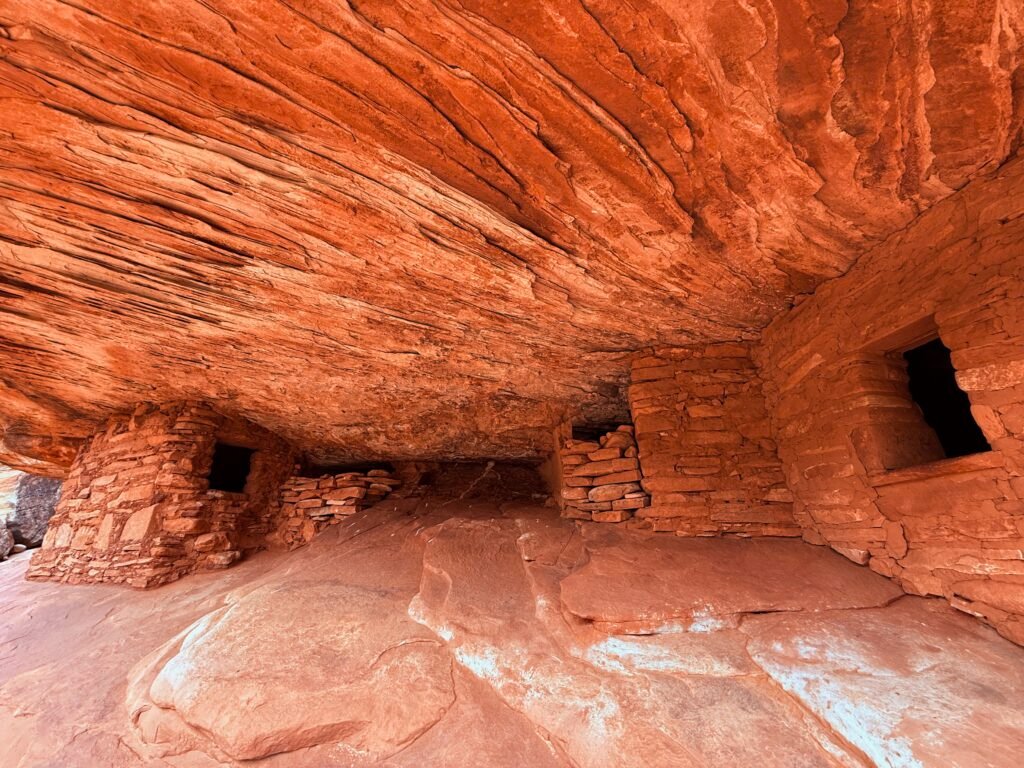
As we rolled toward Hanksville, Capitol Reef loomed on our left. Some of the ancient culture was so distinctive here along the Fremont River that they have been designated “Fremont People” by archaeologists. No time to explore this trip…
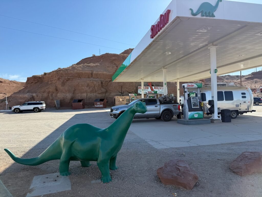
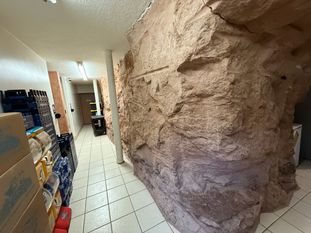
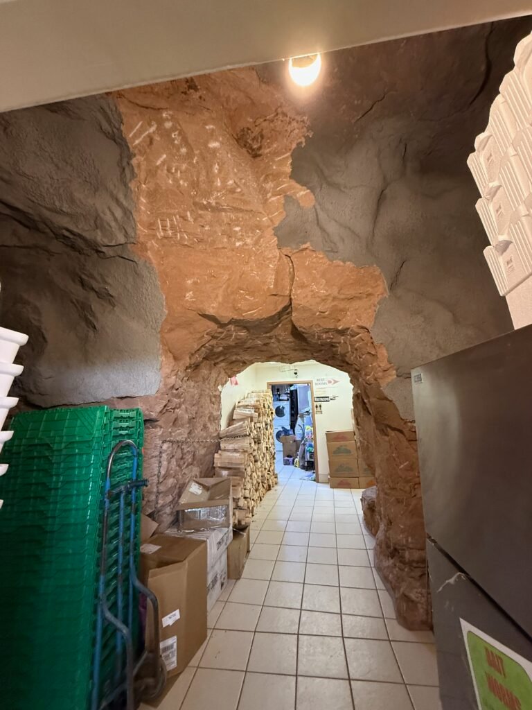
We’ve been running on Sinclair dinosaur fat for most of our stay out here. The Hollow Mountain Market has a big green one out front. The market itself was carved into the mountain over forty years ago, pretty cool.
Heading due north toward I-70, we pass the turn-off for Horseshoe Canyon and the Grand Gallery on our right. An hour-and-a-half washboard/sand drive to the trailhead. My good friend James and I made the trip there back in 1988 with my then-new Cherokee, dodging sand dunes in the dark. I’ll be back someday.
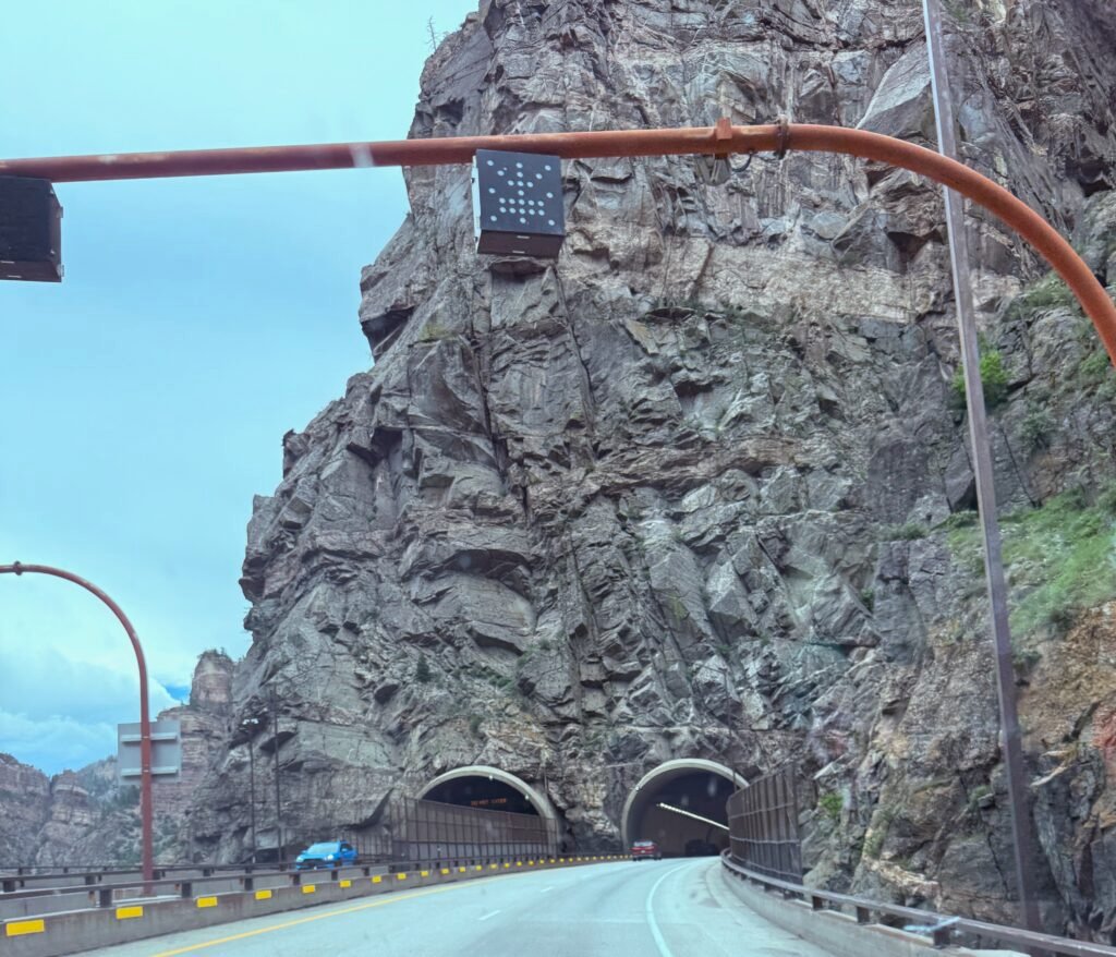
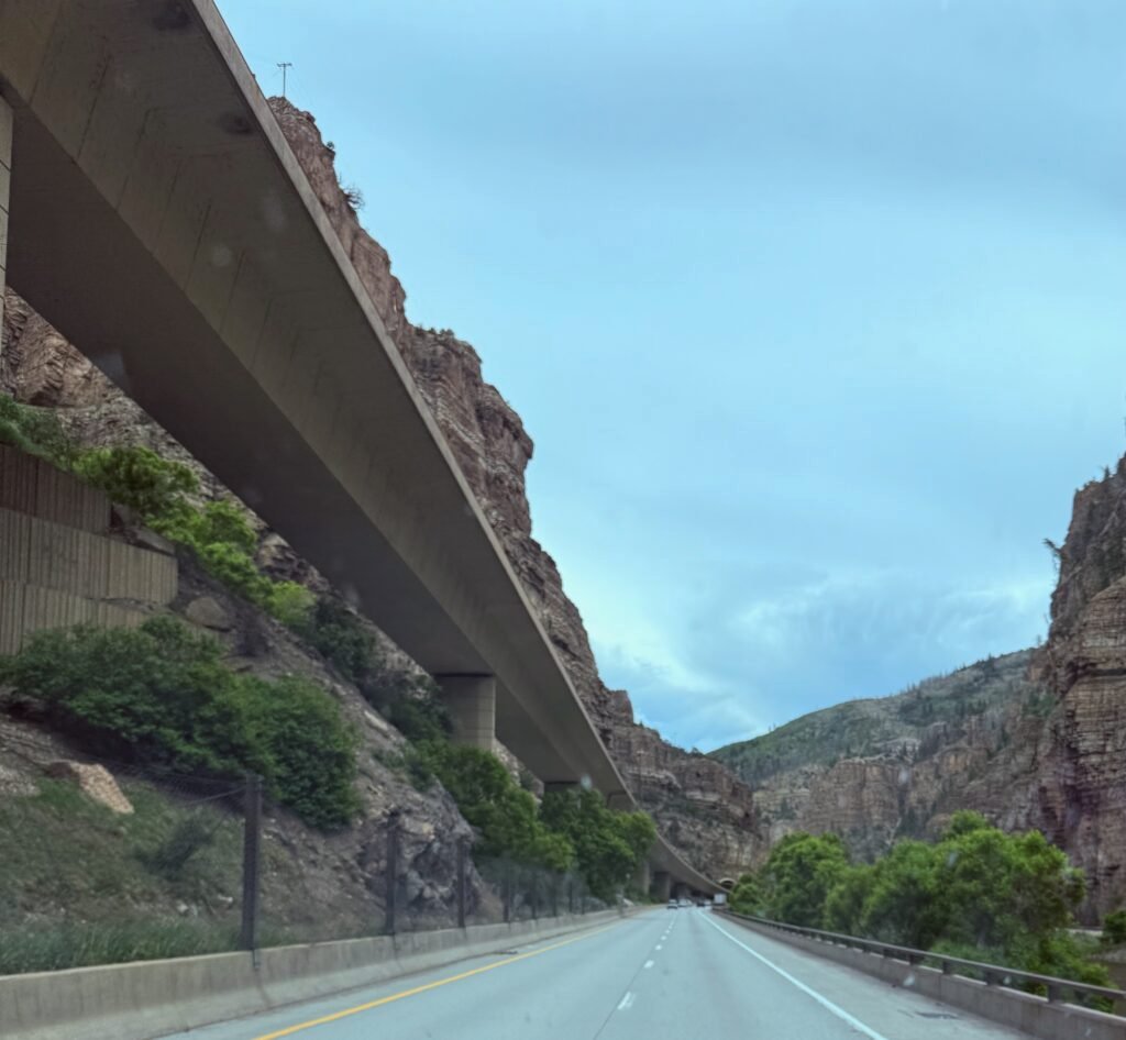
I-70 in Colorado was interesting, but also rough with lots of construction and abrupt lane changes. Elevated highways and tunnels through the Rockies kept us on our toes.
As difficult as it must have been to carve an interstate through this country, in some sections there was an express lane! Priced $9 to $15 – depending on the traffic – it was essentially empty of cars. What a waste! How much better to provide some three-lane relief to the citizens! Let alone the increased safety.
We passed several rest areas that seemed more like local gathering points. They were crowded and not easy to access. So we just kept moving. A LOT of paved bike path through here, we’ll need to investigate…
It was great to see Laura and her family. It has been years since we’ve seen her. It was a treat to see how she, Nate, and little Eden are carving out their own lifestyle in the big city. Raising chickens in the back yard, growing strawberries in the front, being thoughtful with what they buy, repurposing and minimizing their impact. We appreciated their down-to-earth ethic. And don’t forget their dog Millie, who required my full attention for an extended ear massage.
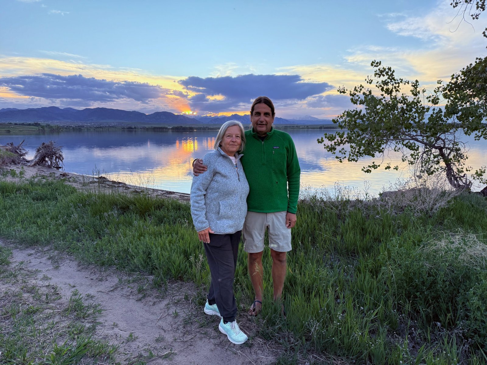
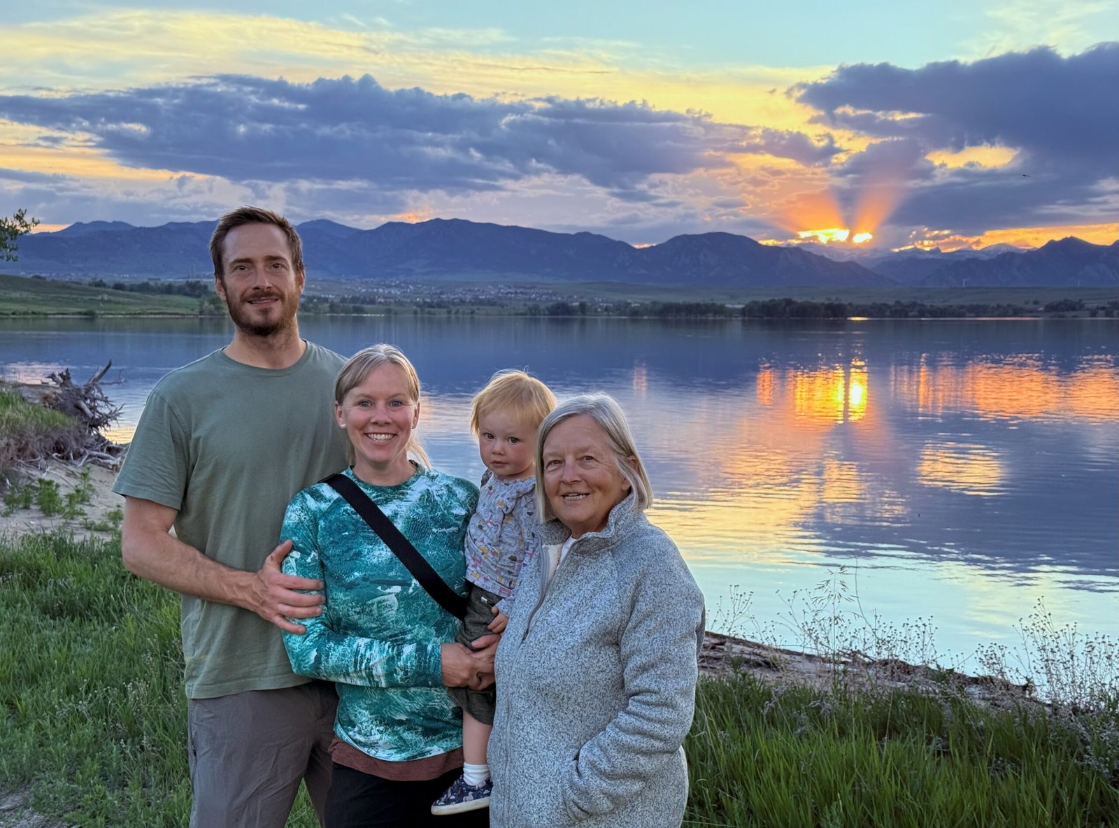
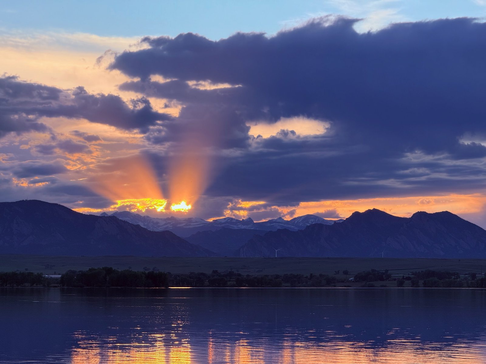
A short hike to a lake revealed a gorgeous sunset with Long’s Peak in the distance. Laura recommended we get on the road by 6am to miss the traffic. But even leaving at 5:30am, it was getting pretty intense on our way out. Big cities have aggressive drivers.
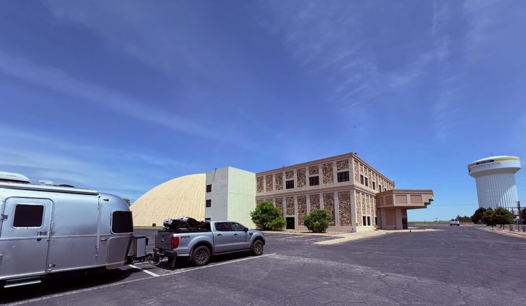
Just into Kansas, a faded billboard proclaimed “Sternberg Natural History Museum” but we didn’t catch the location. My navigator found it was in Hays and about 80 miles ahead on our route, we decided to stop for lunch. I-70 through Kansas was quite pleasant, rolling grassland and little traffic.
Pushing the fuel tank limit, we rolled into Hays and navigated across town to the museum. Wow. It was spectacular.
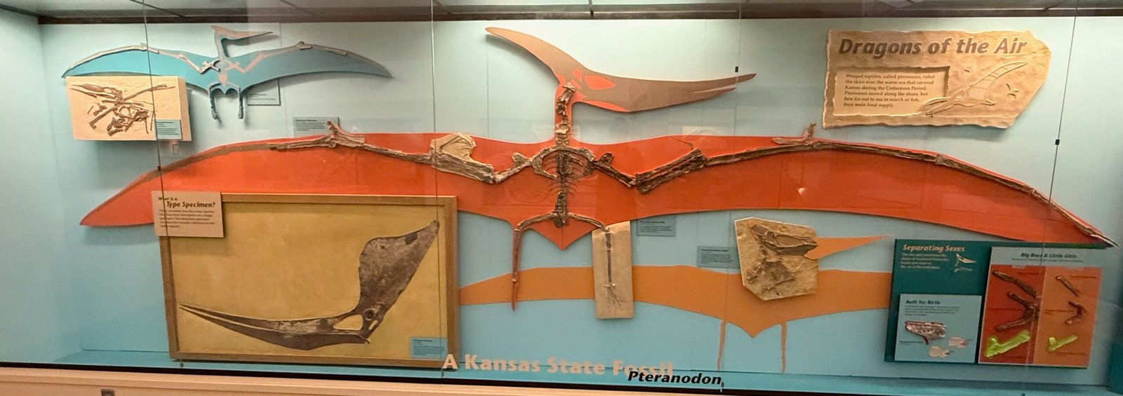
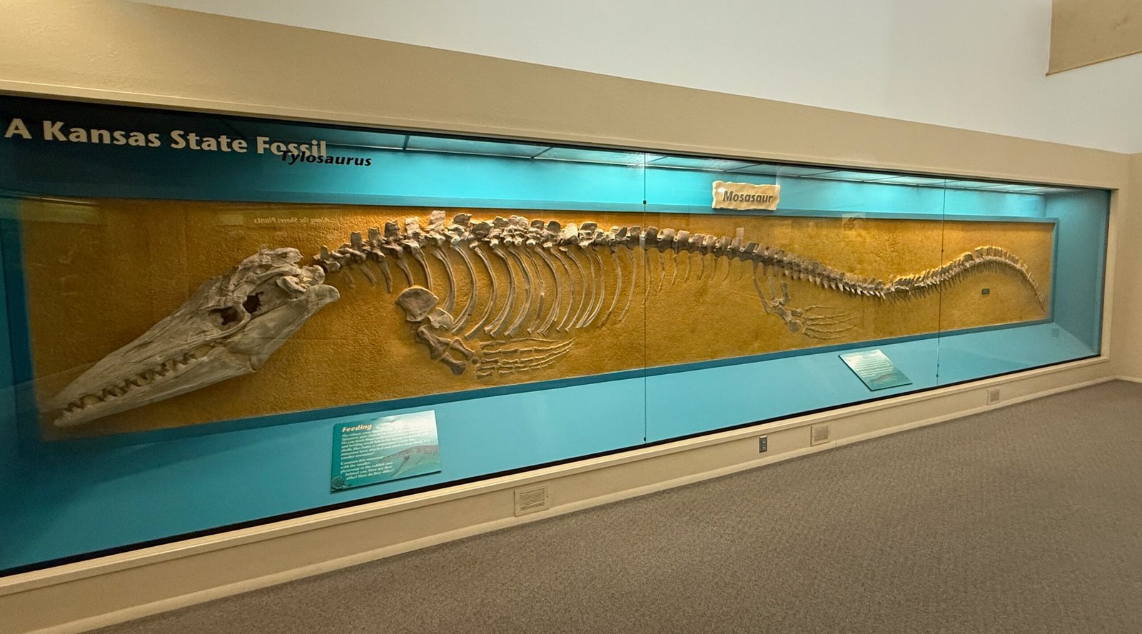
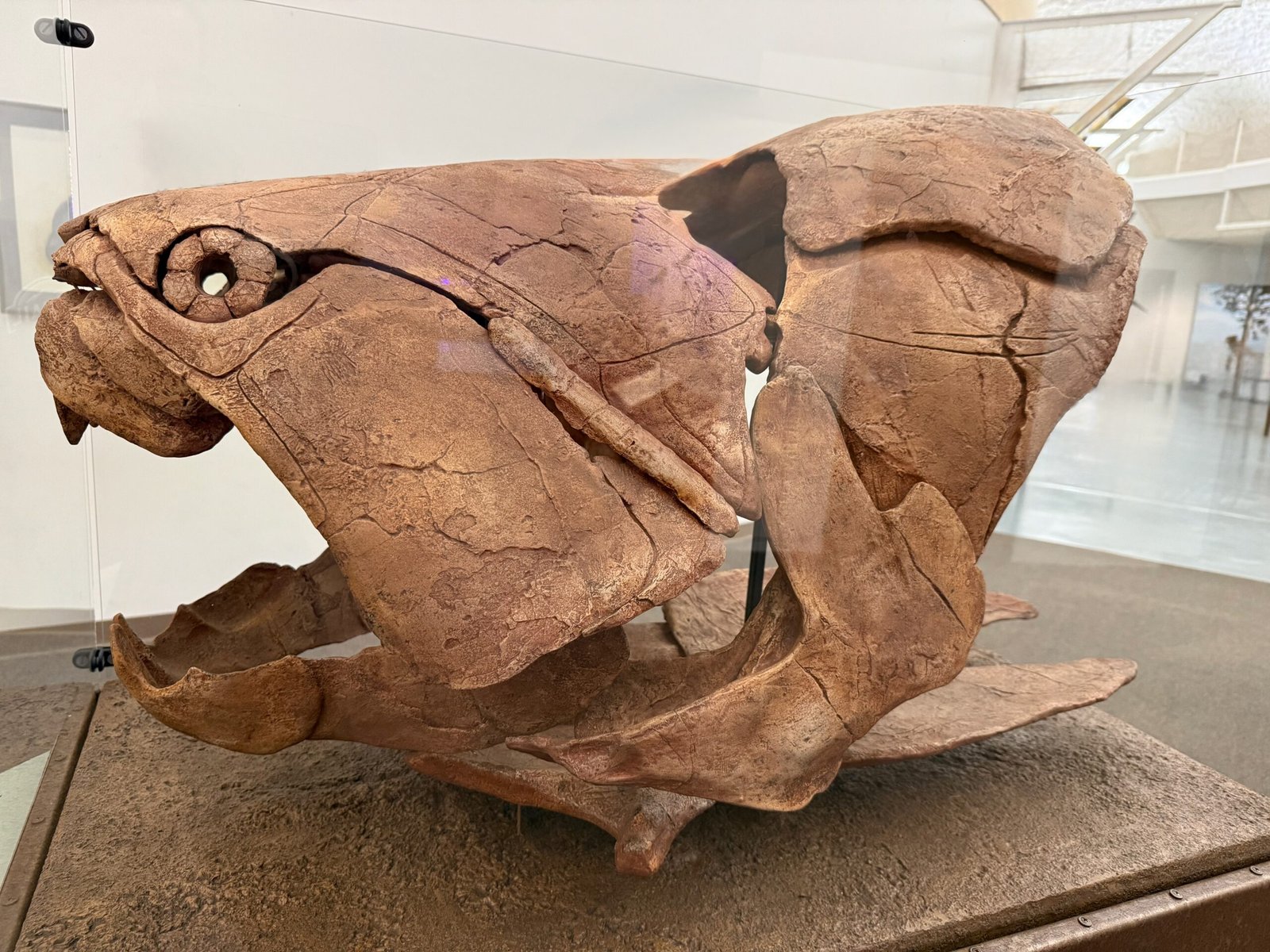
Dr. George M. Sternberg was a surgeon in the Civil War (and later Surgeon General for the army) and was stationed in Kansas. He began identifying fossils collected by soldiers. He purchased a ranch after the war and his brother Charles helped him manage it. They both became interested in the fossils around Kansas. Many of the specimens collected are on display in museums around the world. Charles’s three sons became fossil hunters too, one finding a plesiosaur at age nine.
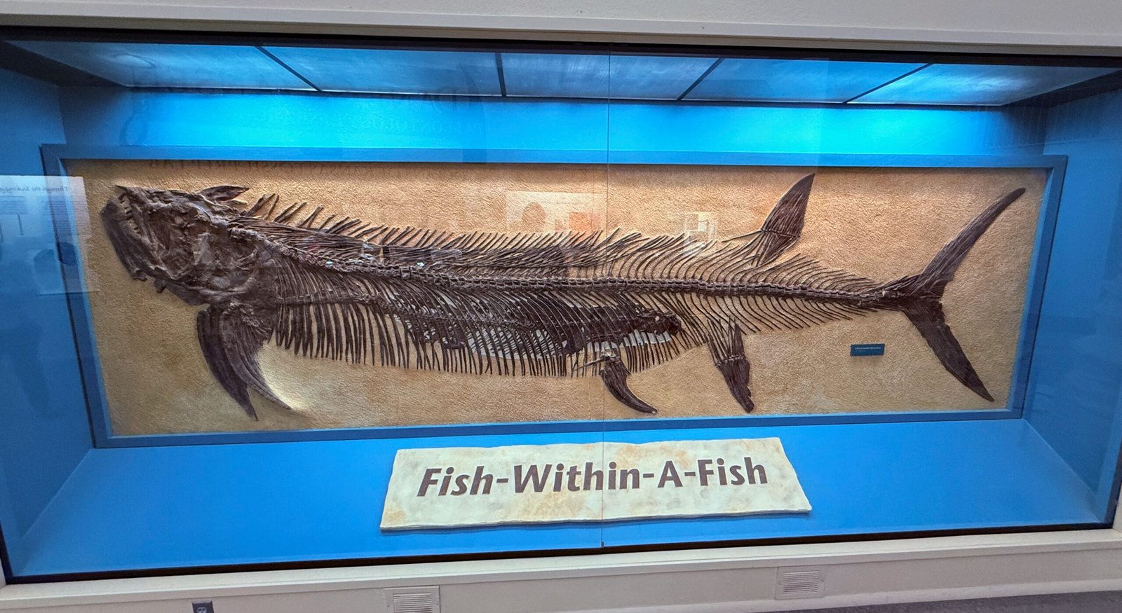
He, George F., became curator of the now-named Sternberg Museum in 1928, and in 1952 discovered the world famous “fish-within-a-fish,” a nearly complete pair of specimens, one swallowing the other and then dying.
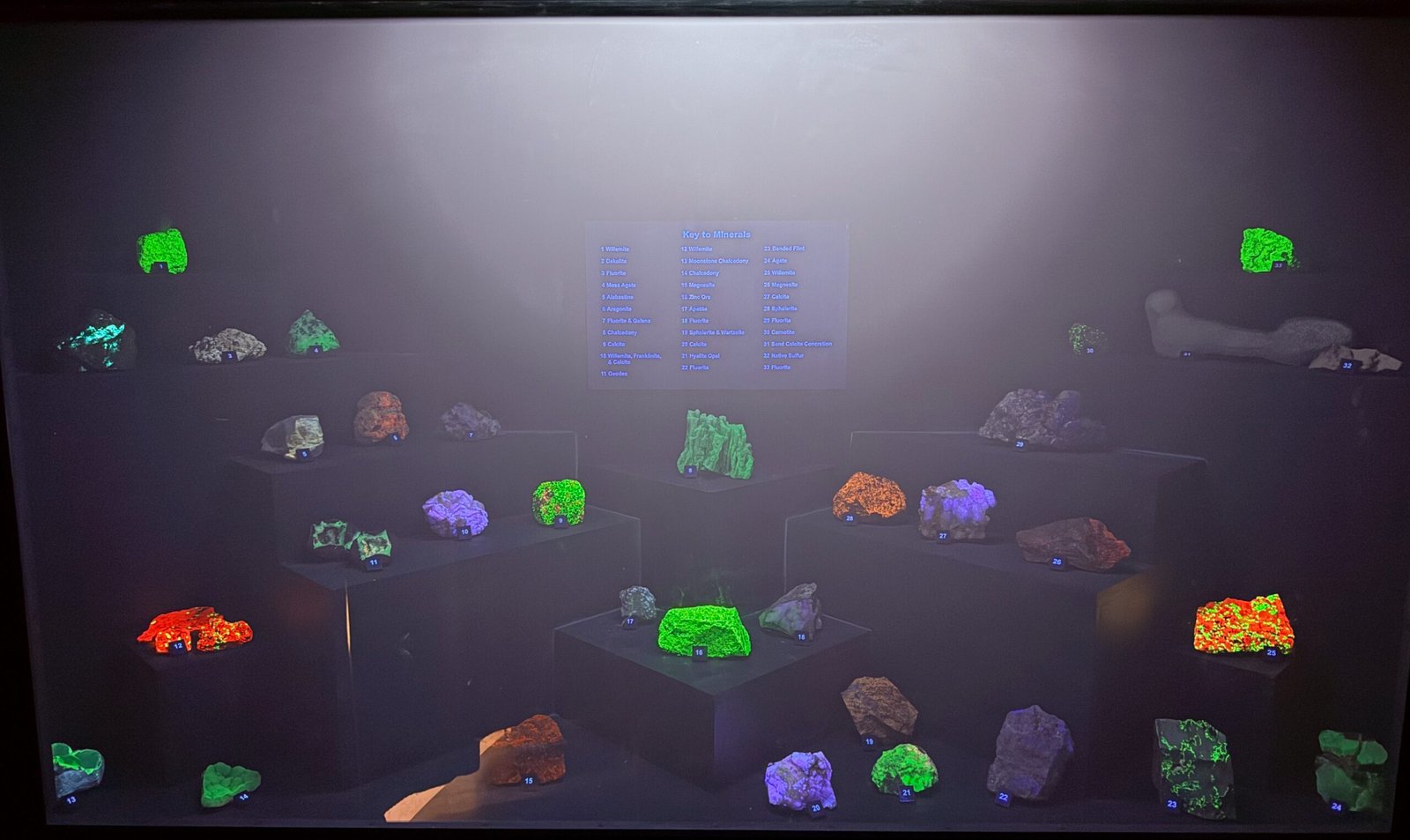
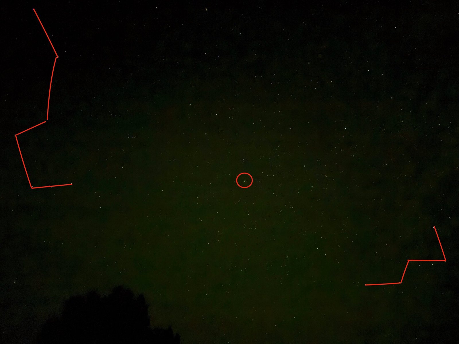
There was a section on fluorescing minerals. You could view the rocks in natural light, then flip on ultraviolet bands of UV-A or UV-C. Boy, UV-C really lit them up!
While we fight sunburn and cataracts from UV-A and UV-B exposure, nearly all of the Sun’s UV-C is filtered out by a vanishingly thin layer of ozone high in the atmosphere. UV-C is incredibly energetic and harmful. In fact, it would kill most plant life on earth if it reached the ground, they have no defense against it.
I’ve heard people say that there is just not enough carbon dioxide in the atmosphere to cause climate change. It’s “only” 0.04% of the air!
Guess what, ozone makes up 0.00006% of the atmosphere. Almost 700 times less than carbon dioxide. And yet it determines our fate. Without this protection, we wouldn’t last long after our crops died.
Whatever you may believe, using “there’s not enough to make a difference” is not really a valid argument.
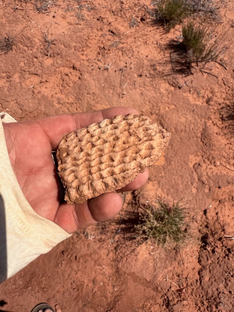
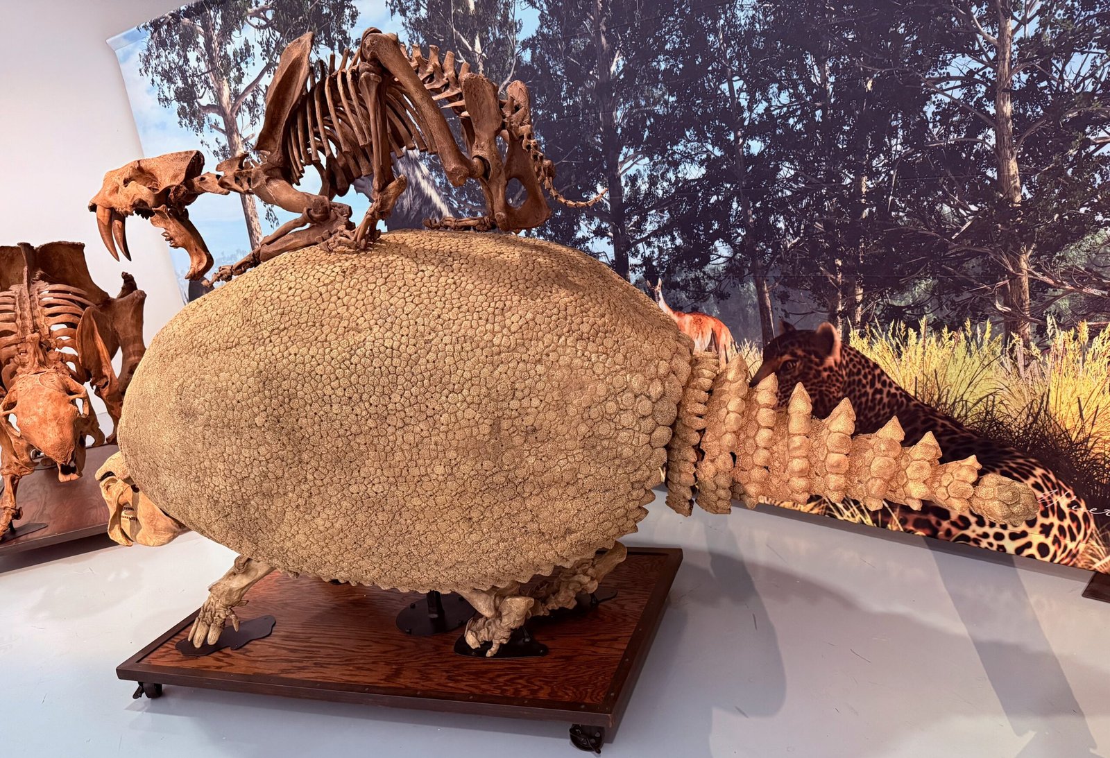
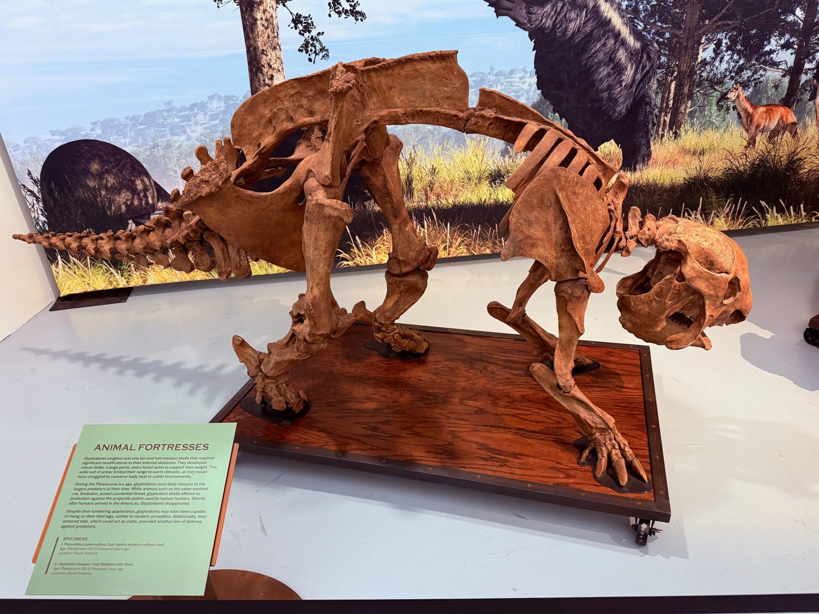
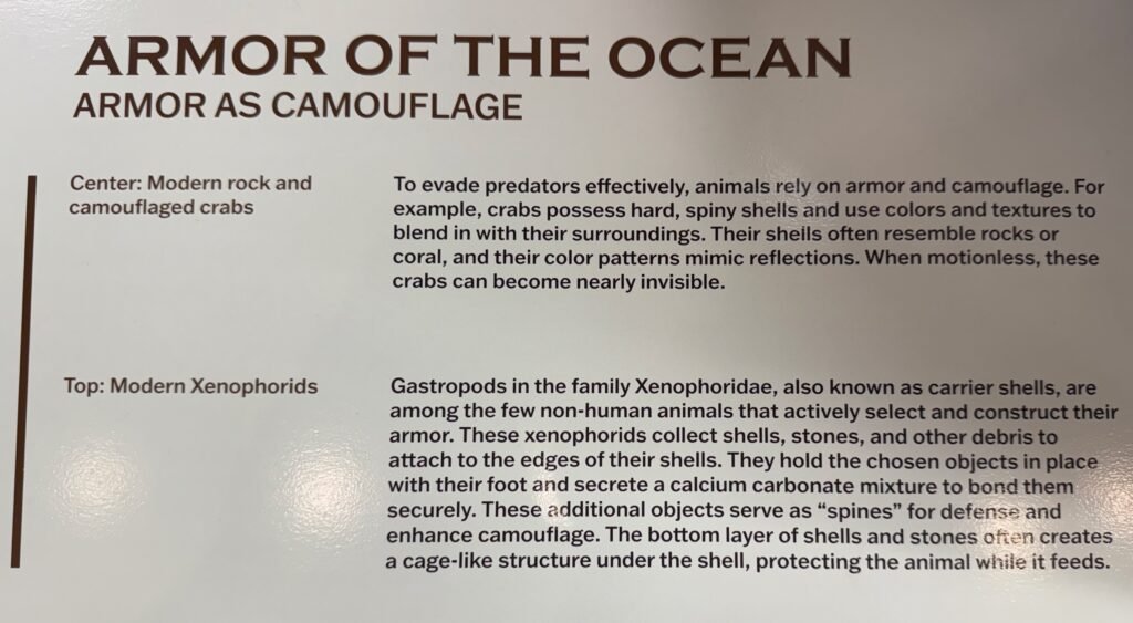
This display kind of bent my brain.
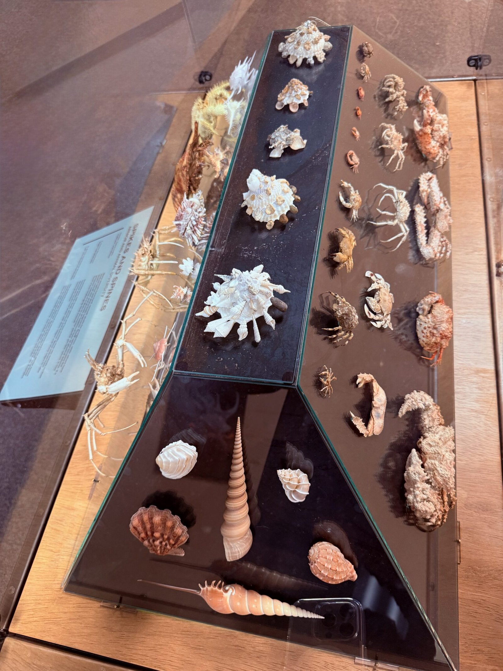
The little guys across the top are known as “xenophorids.” They fasten other shells and rocks to their shells as they grow. So wild looking. Read about them below. Beautiful display.
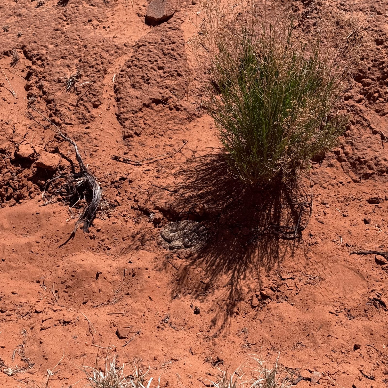
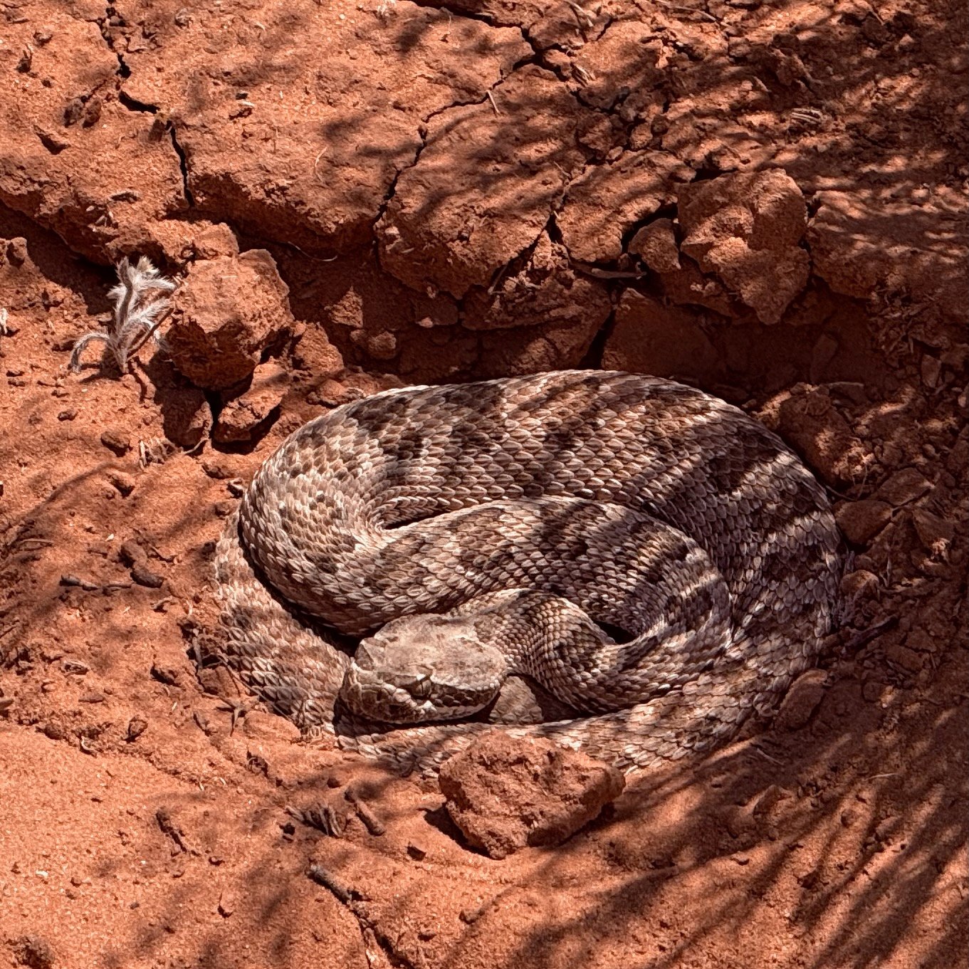
Just before we walked out of the museum we found an entire section dedicated to rattlesnakes. All the rattlers in the U.S., alive in display cases showing how and where they lived. The display even had a toxicity scale!
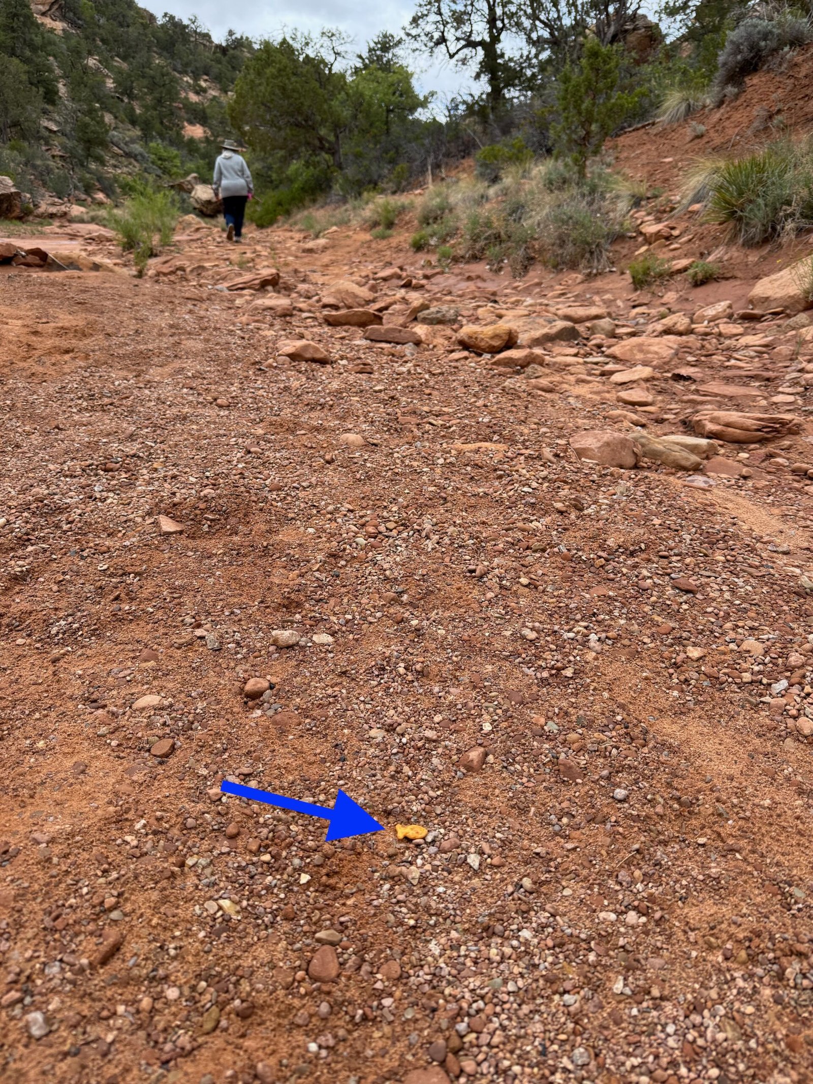
Hmmm, I wonder if a cousin to my little friend is in here? And then just around the corner, I think I found him.
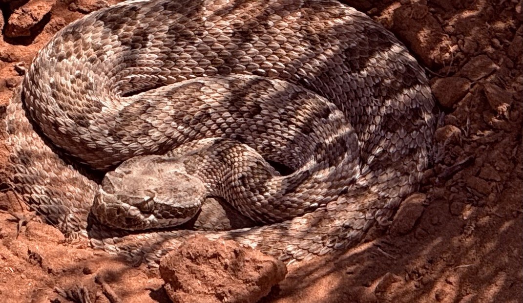
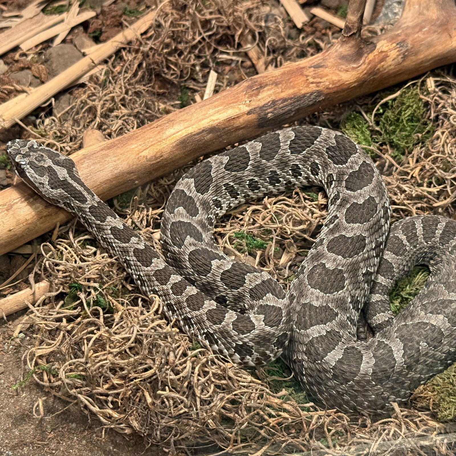
It’s hard to tell. I didn’t get a good shot of the large head scales, the defining feature. But everything else seems to line up. A Massasauga.
Isn’t it a little weird? Nearly stepping on one a few days ago and then wandering into probably the one museum with this extensive a display.
The museum was wonderful and should be a stop for anyone rolling down I-70 through Kansas!
The gas pump read 19.65 gallons. Pretty good for an 18-gallon tank! I think this beats the Buc-ee’s fiasco of 2022. Well, I did have a 5-gallon jerry can in the back just in case…
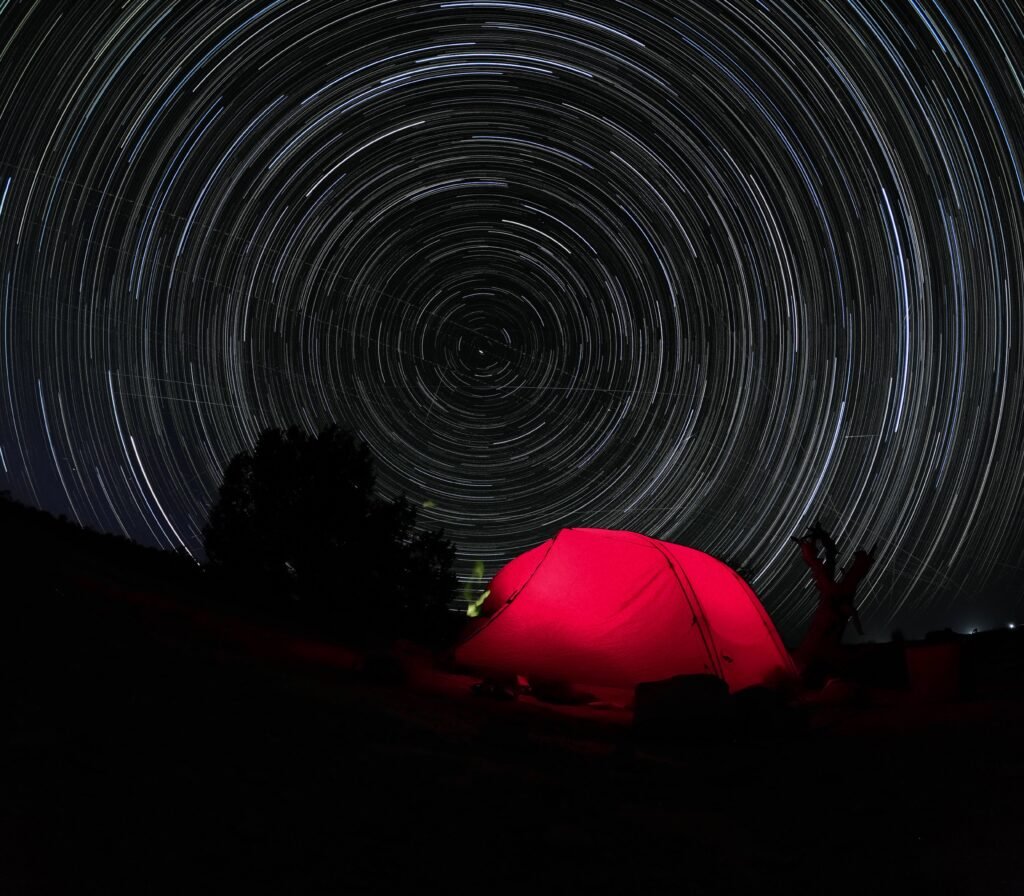
A fine lunch at Gella’s Diner downtown and a quiet evening at Minooka Park on Wilson Lake set us up for a long drive to Jefferson City, MO.
We had planned to stay at Binder Park in Jefferson City for a couple of nights. But we were itchy to get home and with rain in the forecast, we decided to send it, driving all the way home.
Avoiding St. Louis, Paducah, and Nashville, we added some time, but interstate travel through large cities can be tricky. The roads are rough, there’s always construction, and sometimes the cars and trucks don’t play well with each other.
So we worked our way southeast. Unexpectedly, we crossed two very long, very narrow iron bridges going into Wickliffe, KY. The first across the Mississippi, the second across the Ohio. Watch the oncoming trucks and hold your breath!
Our only “real” driving incident on the whole trip was – you guessed it – on I-40. After fueling, I was accelerating down a short on-ramp. There wasn’t much of a merge lane so I needed to get up to speed quickly. Watching for the oncoming traffic in my mirror, I glanced up. The flashing lights on the back of a tractor-trailer were sweeping across the nose of my truck. In trouble, it’s heading for the emergency lane to the right of the on-ramp lane!
Standing on the brakes I’m now out of momentum. And I couldn’t use the emergency lane to buy a little merge time because the truck was now in it! Fortunately, the trucker coming up I-40 was paying attention and slowed enough for me to merge with my foot on the floor. Go Ranger go.
Complete chaos avoided. All is well.
Other than some insanely mismatched bridge/road interfaces on I-840, the rest of the trip was uneventful. After a good night’s sleep, I find a nearly flat tire on the camper. We had picked up a screw somewhere. Probably in the last 50 of the nearly 4,000 miles we traveled.
One more post to wrap the adventure up, stay tuned…