#8 in the series.
Our 36th!
We really wanted to do Moon House on our 36th anniversary. But 50 mph gusts on top of Cedar Mesa just didn’t sound like a good idea. Carolyn had mentioned the Sutcliffe Vineyard near Cortez, with wine tasting and pizza and it sounded like a great alternative for the day. So in the early morning we hiked up Bluff Canyon, literally across the street from our camp spot. Find 8th Street West and just keep walking…
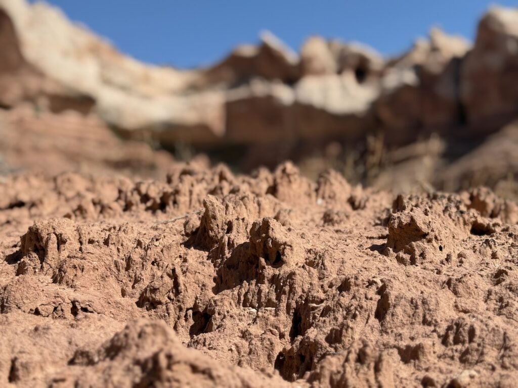
Where the land has not been “cow burned” with overgrazing, biological soil crusts develop. A symbiotic combination of algae, cyanobacteria, and fungi. They take decades to develop and are easily trampled.
The combination captures the scant moisture and slowly breaks down the mineral soil, creating an environment for bigger plants. One approach to exploring an area is to use the sandy washes to navigate up the finger canyons and avoid the soils. And sometimes you have to make the call of whether to continue or retreat when the wash gets too prickly.
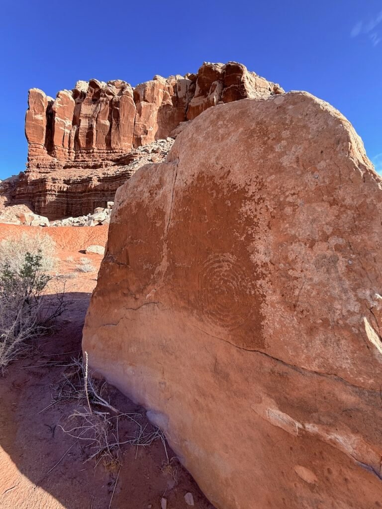
Just hiking along, a big stone reveals a petroglyph, either a set of eight circles or a spiral, both popular themes in the area.
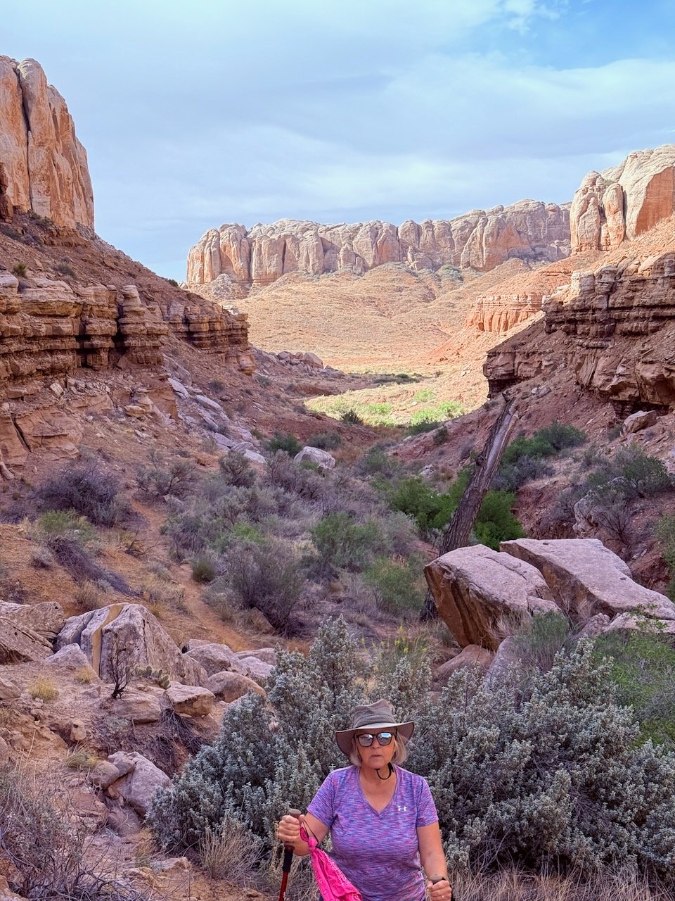
Moving up the canyon, we reach a route decision point and I say “Well, I guess we’ll go up.”
Patricia laughed. She knew a mile back we were going to the top, if possible. She’d seen the high point and had already committed herself to the possibility. Why would we not?
Well, poison ivy for one thing. Yeah, a no-go toward the top. The wind was picking up too. So we high-tailed it back out.
Driving to the vineyard, you could see the dust in the air. Hovenweap road was down to one lane for a couple of miles. All of the big, spring-loaded construction signs were laid flat by the wind, and the road workers were having a time keeping their STOP/SLOW signs under control. As we crossed into Colorado and down along McElmo creek, things began to change. We were still in the middle of nowhere, but there was water here! I’m not sure whether it was McElmo or an aquifer, but bright green fields came into view.
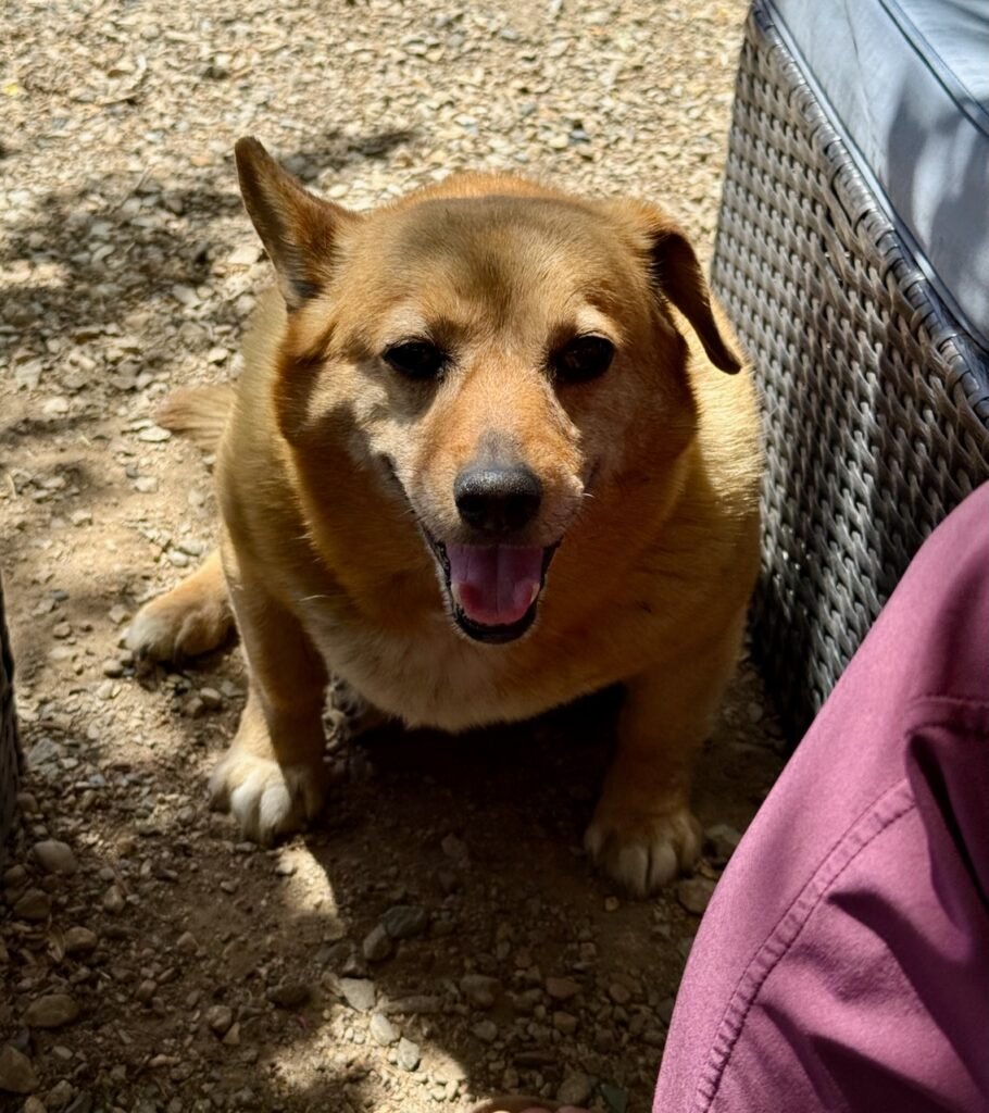
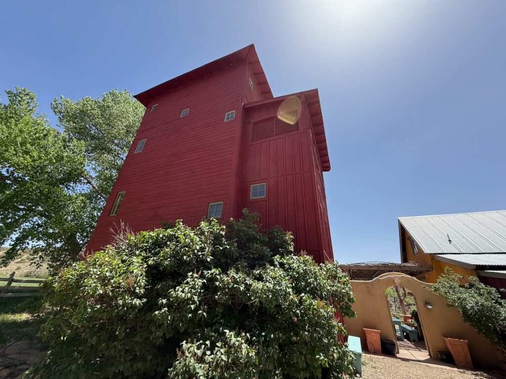
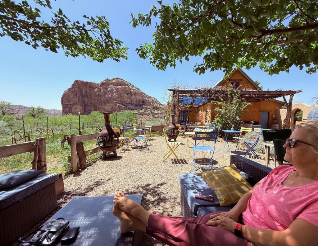
Turning off of “Road G,” we wandered around a couple of buildings before arriving at an interesting and relaxed wine tasting venue. The ostensible owner, Tovy, waddled up and promptly sat on my feet.
He knew which side of the charcuterie board his cheese was situated on!
Hoping for wood-fired pizza, we found that today was not the day. The veggie charcuterie was just fine, and we sampled a few reds, securing a Telluride Red for a special occasion. Another couple was celebrating their 46th anniversary too!
Navigating a giant Rottweiler and a shepherd-mix, neither of which even lifted their head to say goodbye, we bounced our way back into Bluff.
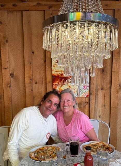
Still keen for pizza we stopped at Comb Ridge Restaurant – for the third time. A lovely little place with outdoor seating under a cottonwood and an outdoor kitchen. We were even directed to the table under the one chandelier, perfect for an anniversary!
The hand-tossed funky chicken included shredded chicken, buffalo sauce, and…pickles?
Ya know, we both thought it was pretty great.
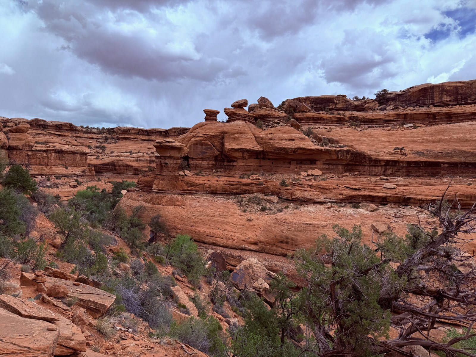
Moon House Ruins
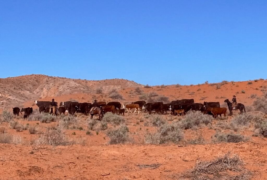
We’d planned a full day for Moon House and started out around 8am. Rolling up Comb Wash Road it was a gorgeous morning. The Comb was beckoning us to come and see. A few ranchers were herding cattle in the cool morning and the dirt track was wide and reasonably smooth.
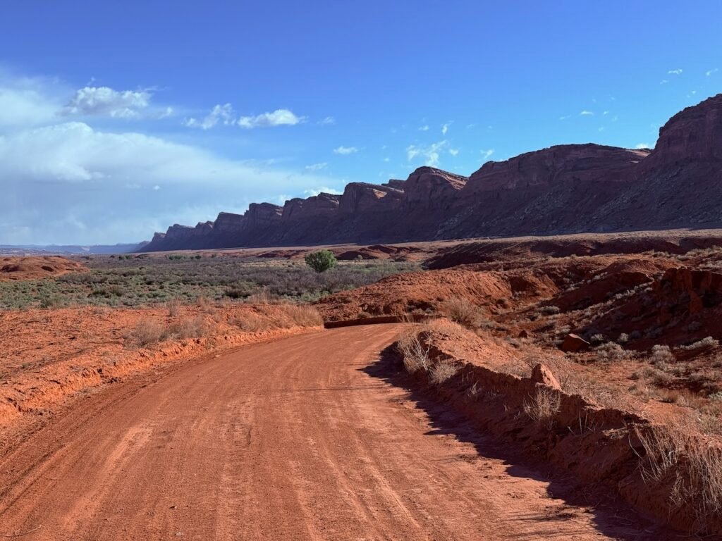
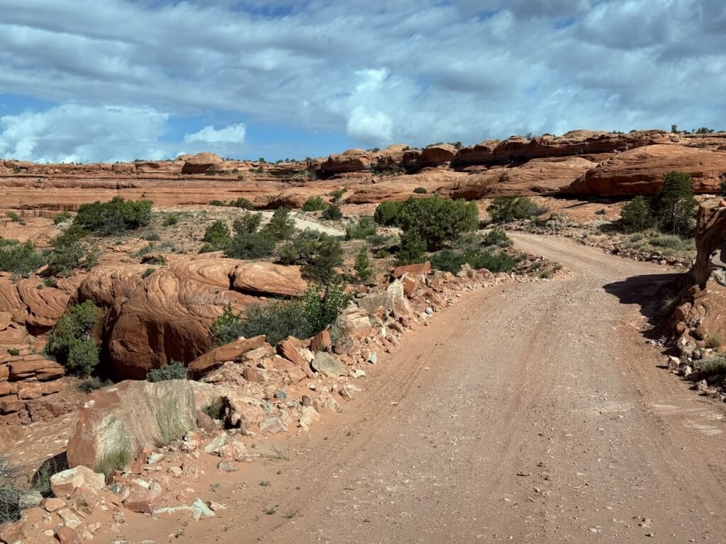
Turning off onto Snow Flat Road, this began to change. We were climbing Cedar Mesa now, and there was much scraped rock to navigate. The next 15 miles took about an hour and a half.
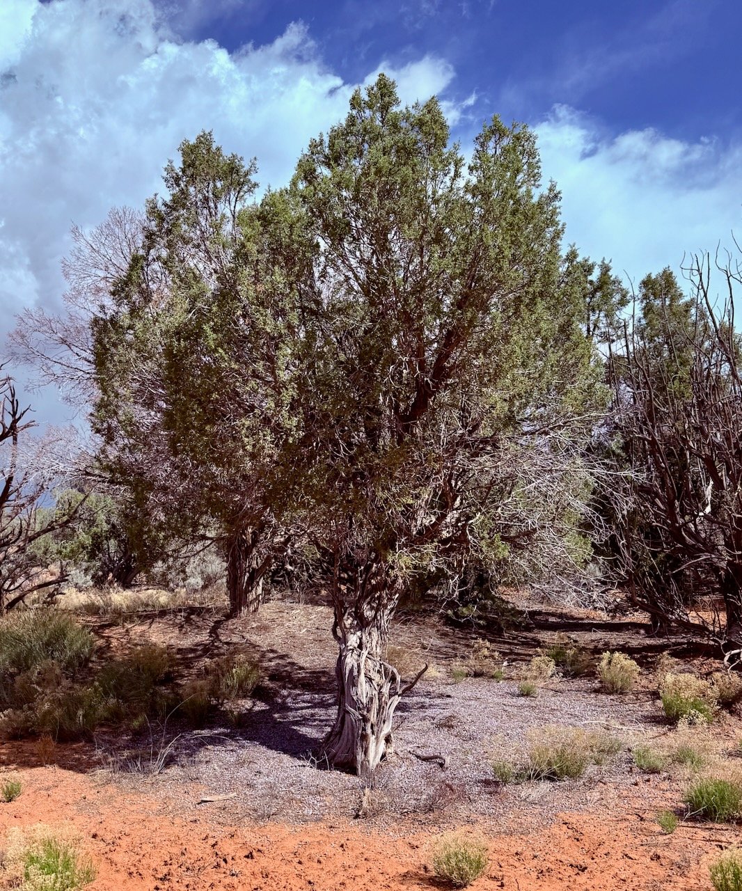
The “cedar” trees on Cedar Mesa are actually a type of juniper. Similar to our red cedar back home. This one had unloaded an incredible number of berries. They completely blanketed the ground with purple.
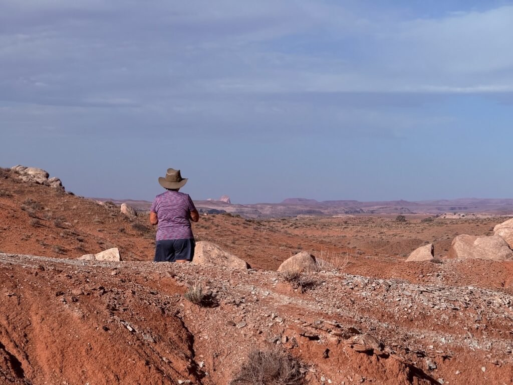
We became a little confused at the parking area and ended up walking a 4WD road about a mile and a half to the foot trail for Moon House.
This ruin has a limit of 20 visitors per day in order to protect it. Honestly, Snow Flat Road is a pretty good first line of defense.
This is a lovely canyon.
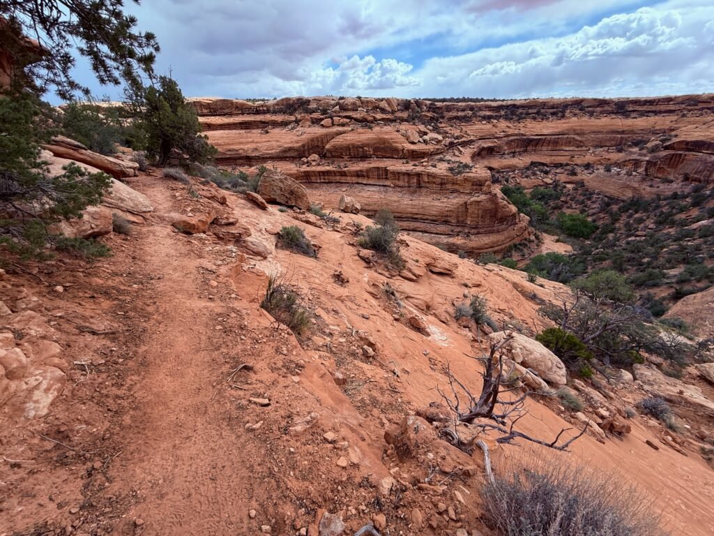
It’s a short hike, but it’s not easy. The slickrock top falls away and you can’t see where the footholds are.
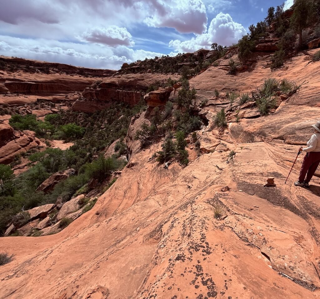
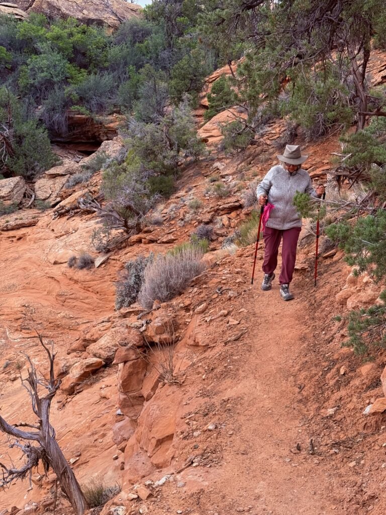
The rock cairns are your friends (most of the time) and help guide the way. You have to be careful on the sandstone pour-overs because they can lead you to place where it’s smooth and you are exposed on the rock. Down below “somewhere” is a five-foot ledge to a pile of rocks we need to negotiate. A good second line of defense.
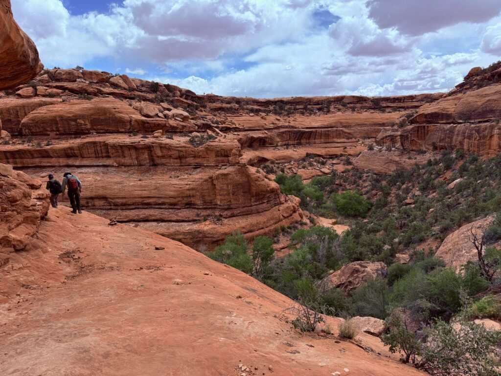
We teamed up with a couple of gentlemen from California and worked our way down. After that it was a scramble to the canyon floor and a climb up the other side.
Can you see it yet?

How about a little closer…
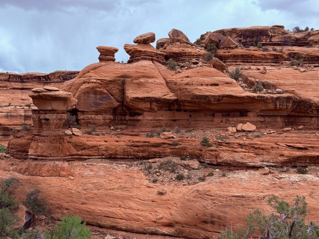
How about now?
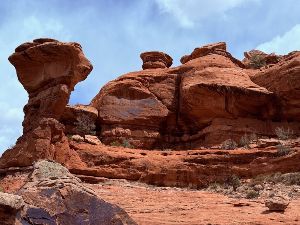
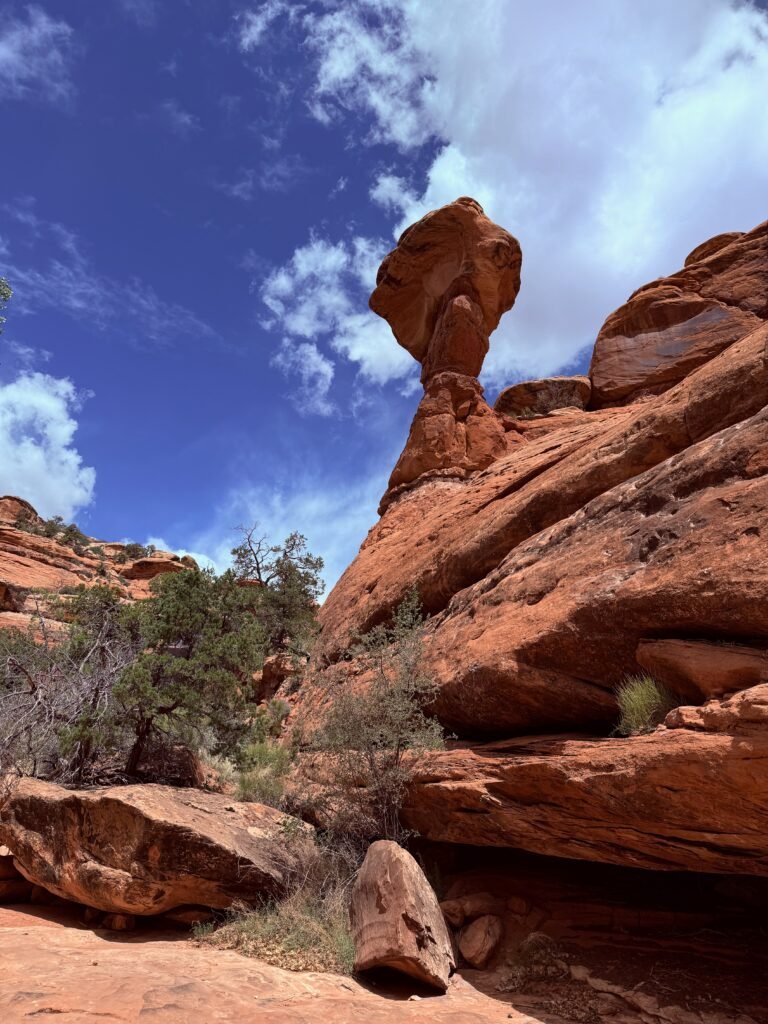
Just incredible. And the balanced rock outside was amazing.
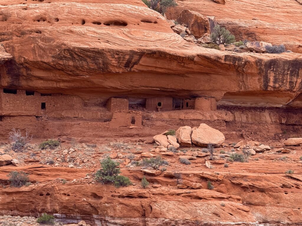
This is one of the few places that people are allowed inside. It’s just too easy to bump a wall even if you have the best intentions. The goal here is to “belly” into the room through the small opening without using the walls. Once inside, it’s a row of small rooms. The ceiling is black, maybe just from smoke or maybe intentionally done. And you can see the ruin’s namesake, the Moon, dotted in white along the wall above the white band near the middle of the photo.
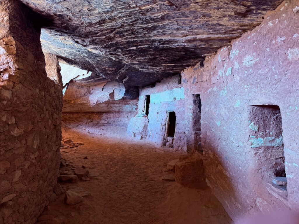
We’ve heard some discussion that the wall on the left may have been added later, possibly as a defense. It has that flavor, it blends into the bluff and the high windows may have been lookouts. Or merely for light and ventilation. Probably no one knows.
The rooms have black ceilings and each has an interesting nook in one corner. It doesn’t look like they were used for fires though. The walls separating the rooms are made with straight sticks tied together and covered with mud.
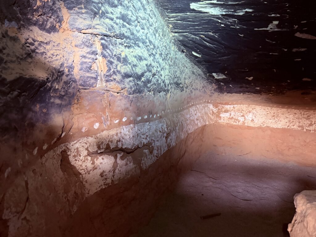
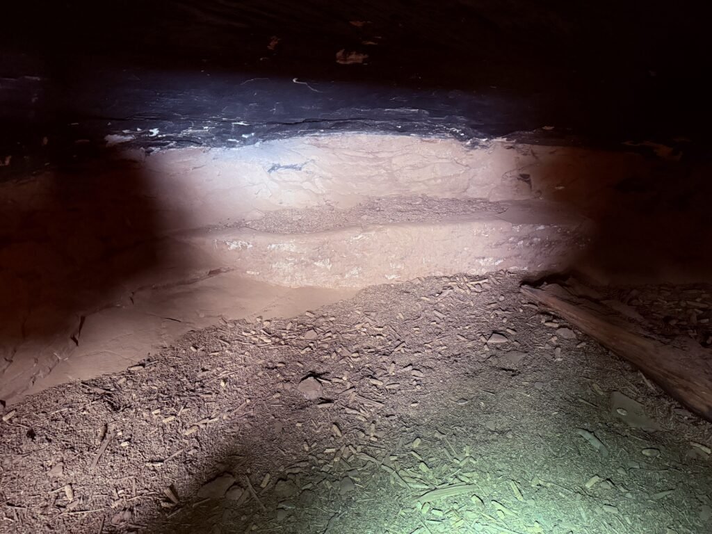

The white band/moon motif circles the rooms, and even the separating wall is painted black above it. Remember how you decorated your kids’ room with stars on the ceiling? One room contained corn cob remnants.
Such an interesting place when you consider a family or families lived here. Waking up to the awesome balanced rock every day would have been something.
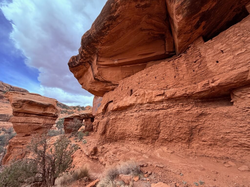
We do know these people used ladders. Maybe there were hidden places to get on top of the mesa. The cottonwoods indicate a water source below. Wouldn’t it be wild in a storm?

Along the ledge on either side of the dwelling are other storage buildings. You can see on in this video pan in the center at around 14 seconds. It’s tucked under the bluff just to the right of the boulders. I’ve centered the picture on it.
We retraced our steps and teamed up with our new friends to navigate the shelf. An incredible place to ponder.
All told, we counted 17 folks today. A 4wd with four was coming in as we were walking the road out, but we didn’t get the sense that all would make the hike.
Another 10 miles of mostly scraped rock got us to Hwy 261. Down the Moki Dugway once more and around the Valley of the Gods. The Cut in Comb Ridge directed us back to our temporary home.
Dinner in Bluff was at the invitation of Kirsten, Josh and their two dogs. Josh was into sour dough and we enjoyed a wonderful pizza and told tall tales and at least one true one. He told us how he acquired the HUGE elk rack on the wall above the living room door. Apparently he saw elk sign on Comb Ridge, a very rare thing. Following it, he found the old bull had died and nosed into the sand. Once the wildlife resources confirmed it was natural causes, they let him keep it. Very cool.
Quite a day, I would say.
Leave a Reply