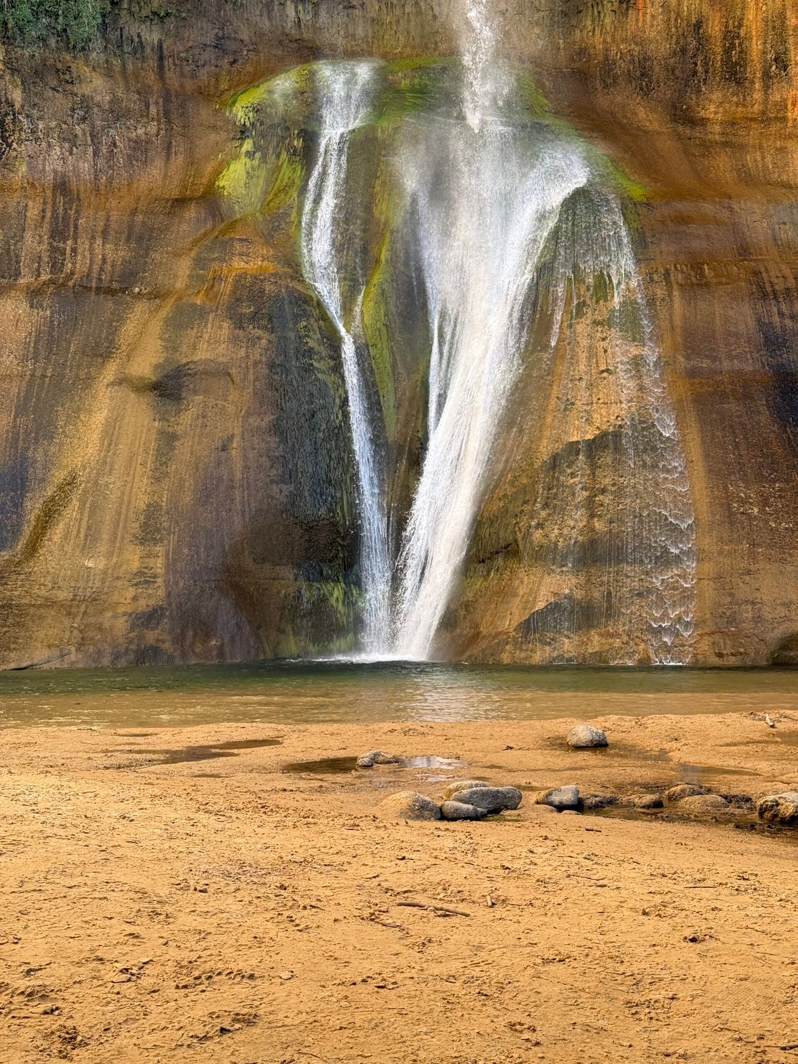
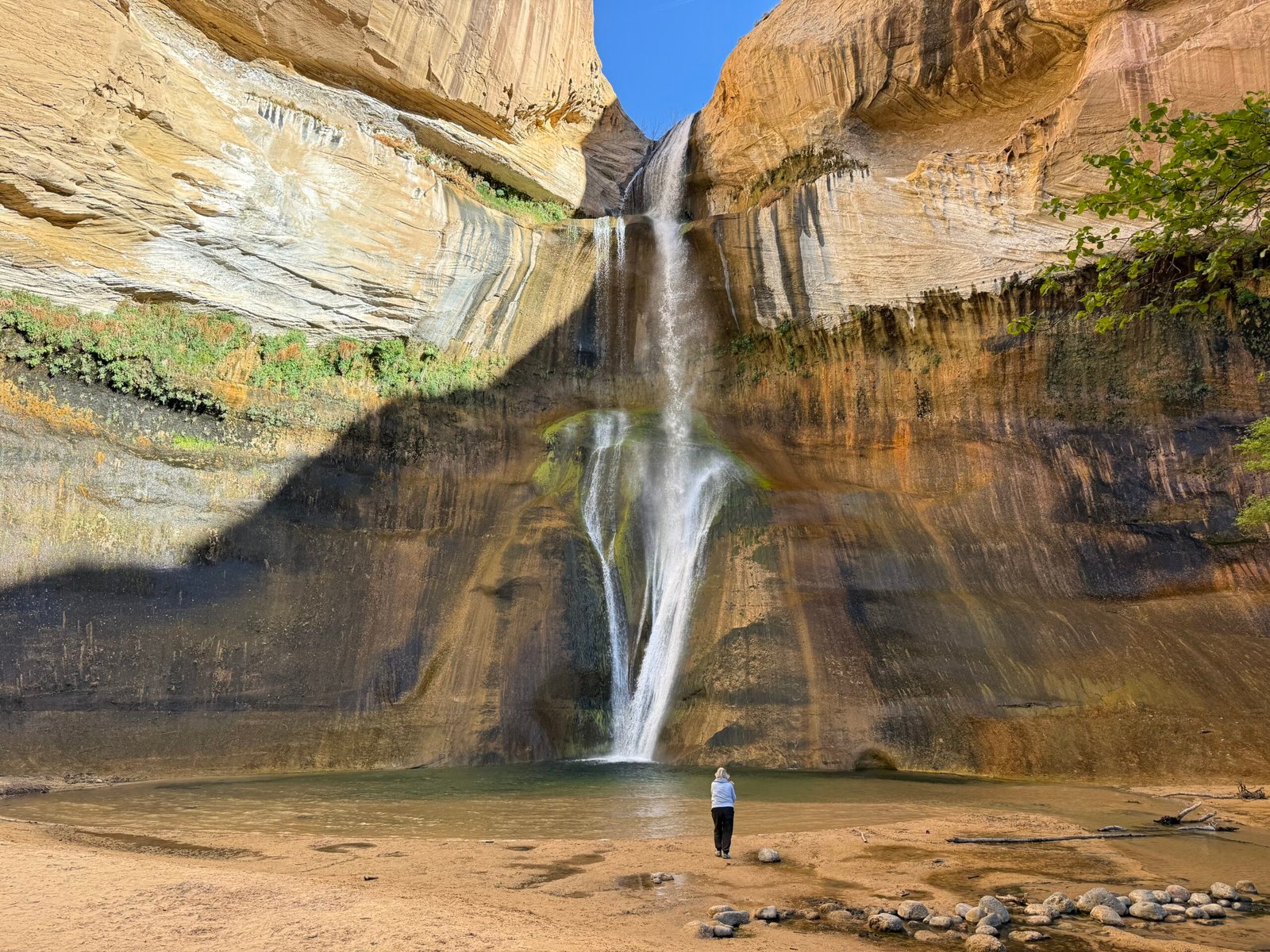
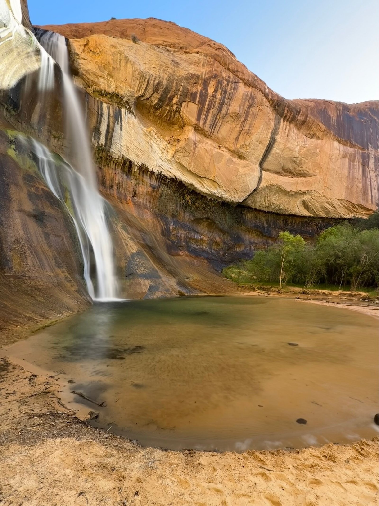
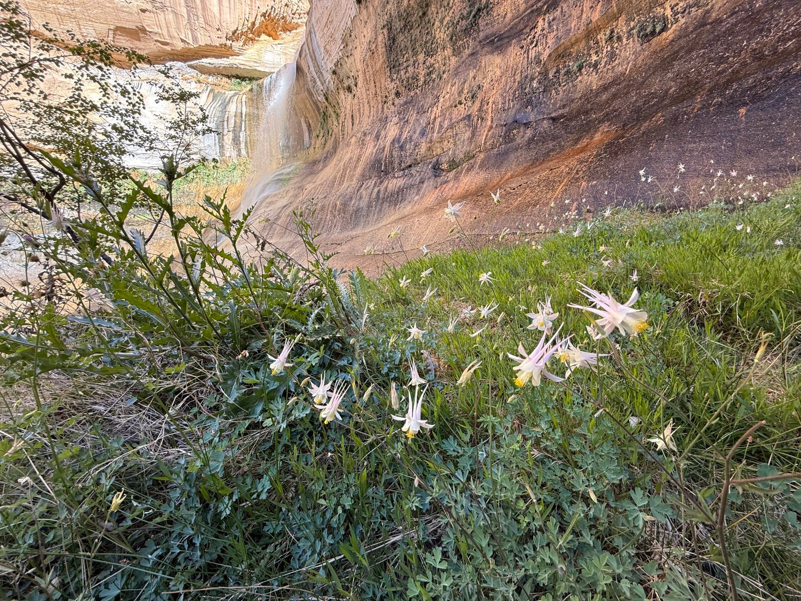
The last of the series.
I’ve always been fascinated with the sky. As a young boy, I brought my mom outside to show her my discovery of the Big Dipper and Polaris amongst the city lights. It has been a life-long memory for me. Throughout my younger life, backpacking has always opened up the sky. Tall tales told at night while on our backs looking at the stars from rocky outcrops or grassy balds, occasionally catching sight of a meteor shower or the rare satellite. I would point out to my buddies which ones were “spy” satellites because they traversed the sky in a north-south direction where they could “see” everybody as the earth rotated under them. Smile!
Soon after I graduated and had started my engineering career I began saving money for a telescope. Credit cards were not even a real concept for a young single man then. With the money in the bank, I made a beeline to Wolf Camera in Huntsville to purchase a Celestron C8 SCT, complete with a Byers worm-gear drive and equatorial mount. It came in a footlocker with paper sky guides and a list of Messier objects and their coordinates. I wrote them a check. The very first object I observed was Saturn, spectacular with those majestic rings.
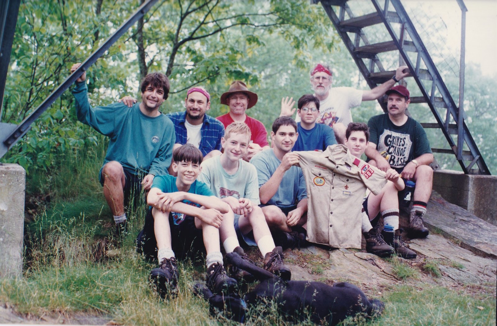
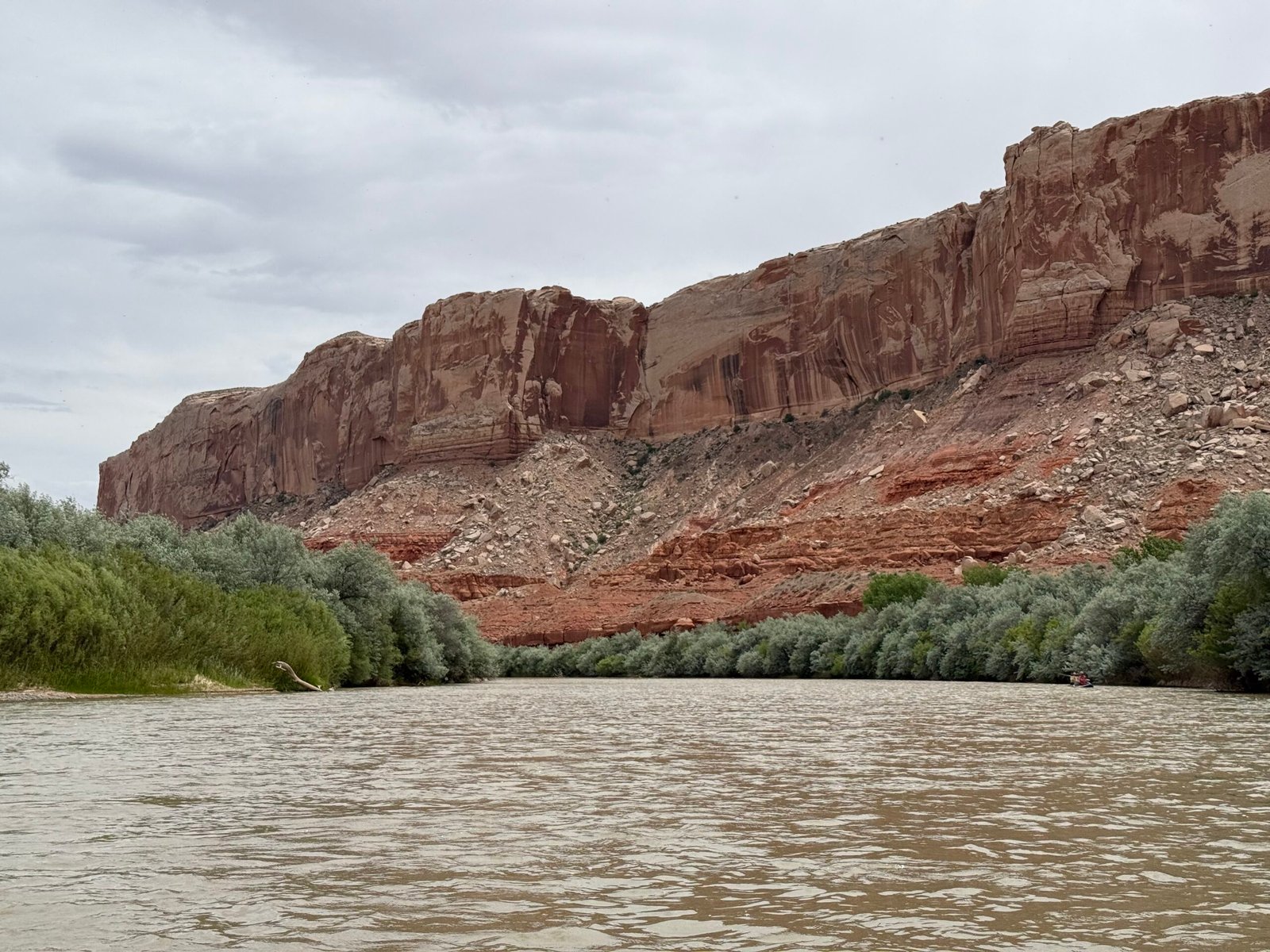
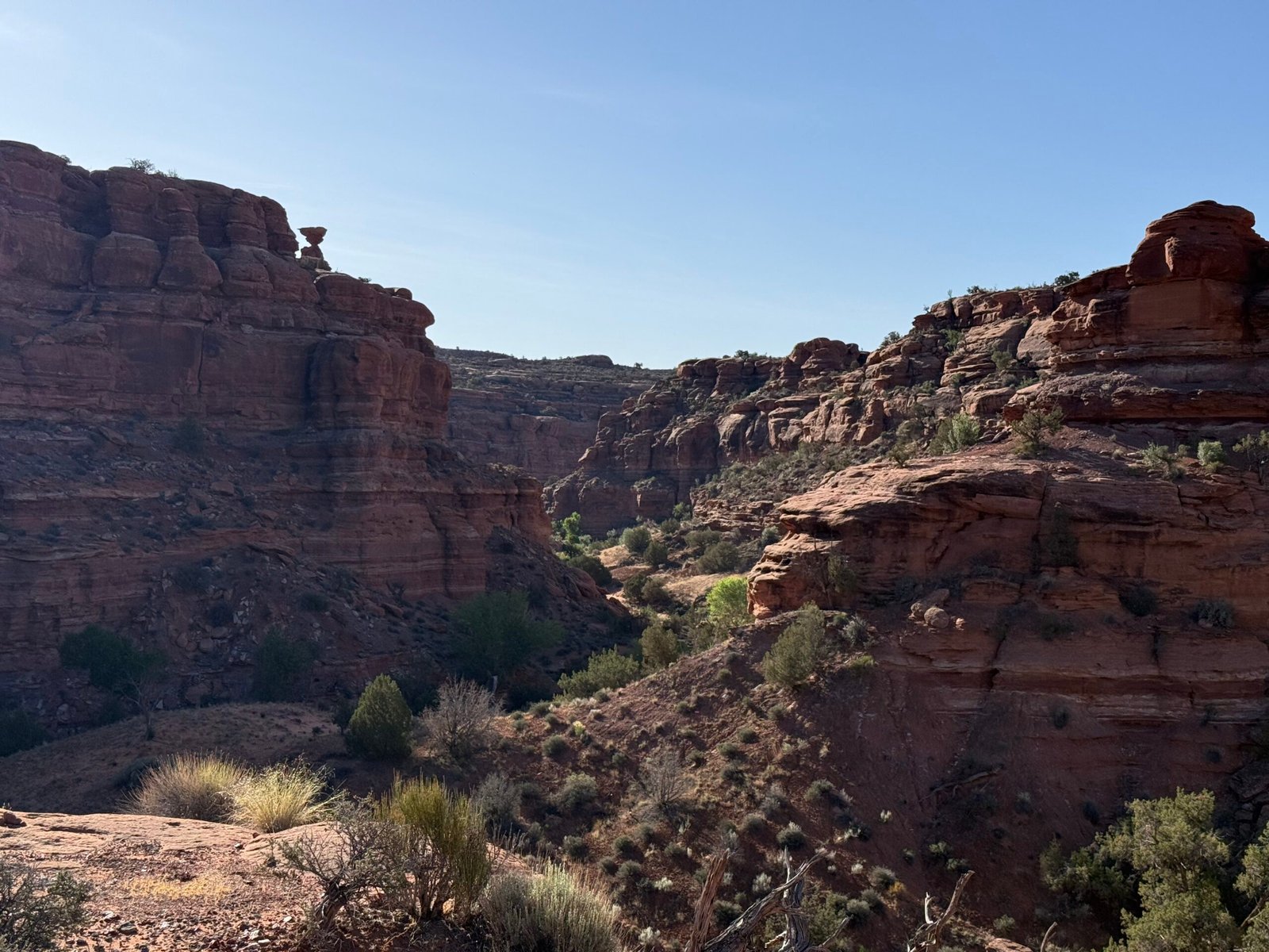
Viewing in the east is a challenge. The telescope, looking at the deep cold of space, will radiate its warmth away and cool well below the dew point. An incredible amount of moisture will condense on it without a dew cap and heater. Eastern humidity also magnifies any light pollution. The best observations are alway in remote areas when the temperature is freezing. I remember one time that my friend Charles suggested we try the top of Hench Mountain, near Crossville. So Charles, James, and possibly someone else (LaDon?) drove to near the top, but we were stymied by the locked gate of the FAA station. So we lugged all of the gear up to the high point (I’m pretty sure this wasn’t even legal…) and out of the trees. In order to power the telescope drive motor, we also removed and lugged the 12v car battery out of the Dodge D100 pickup, hoping not to drain it too far. The backup plan was to roll-start the old three-on-the-tree truck by letting it coast down the mountain road and popping the clutch, spinning up the alternator and generating the necessary spark. There was no plan in the case of being under surveillance, because in those days, there was no surveillance.
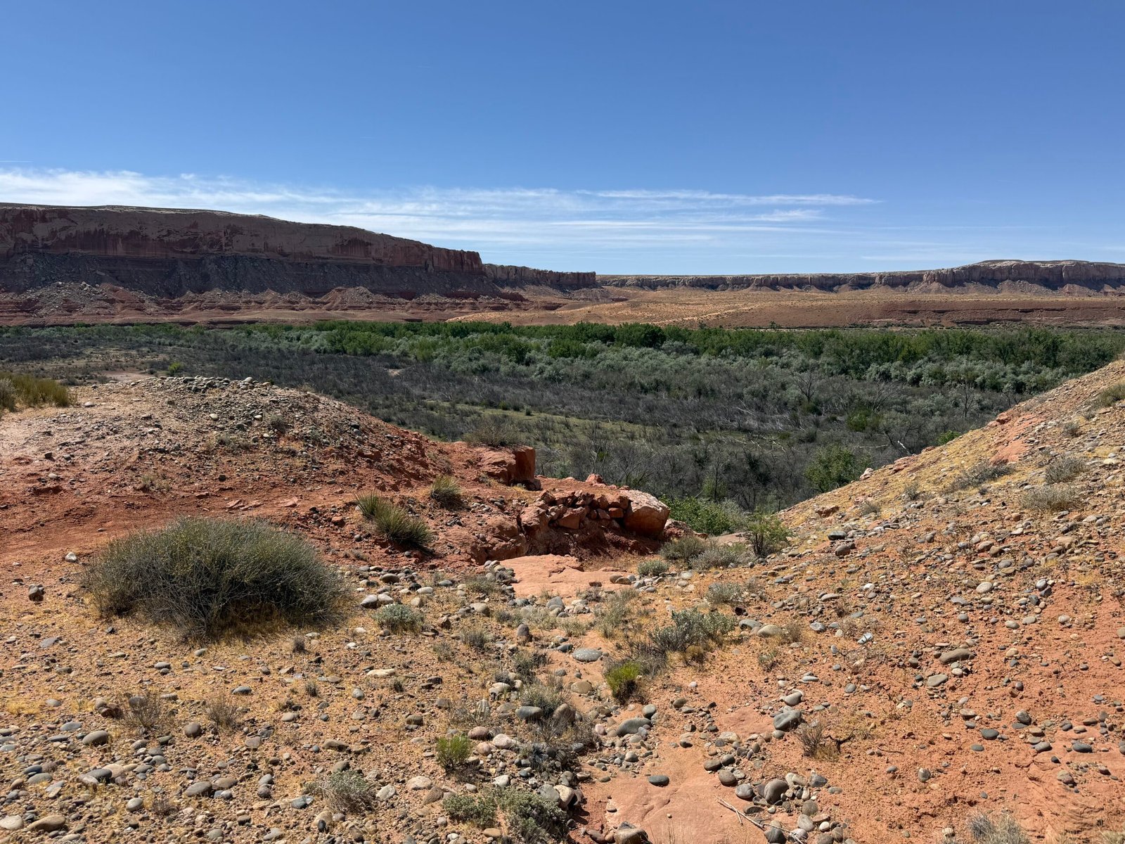
But it was the West that kept me awake all night. In 1995, I petitioned our host at the Navajo community of Dzilth-Na-O-Dith-Hle (DZ) to allow us to take our youth group to the top of the holy mesa for an overnight sky watch. While I will share this full tale at a later time, it was spectacular. The Perseid meteor shower was incredible and I watched the sun rise. The night sky like I’ve never seen it and have rarely seen it since.
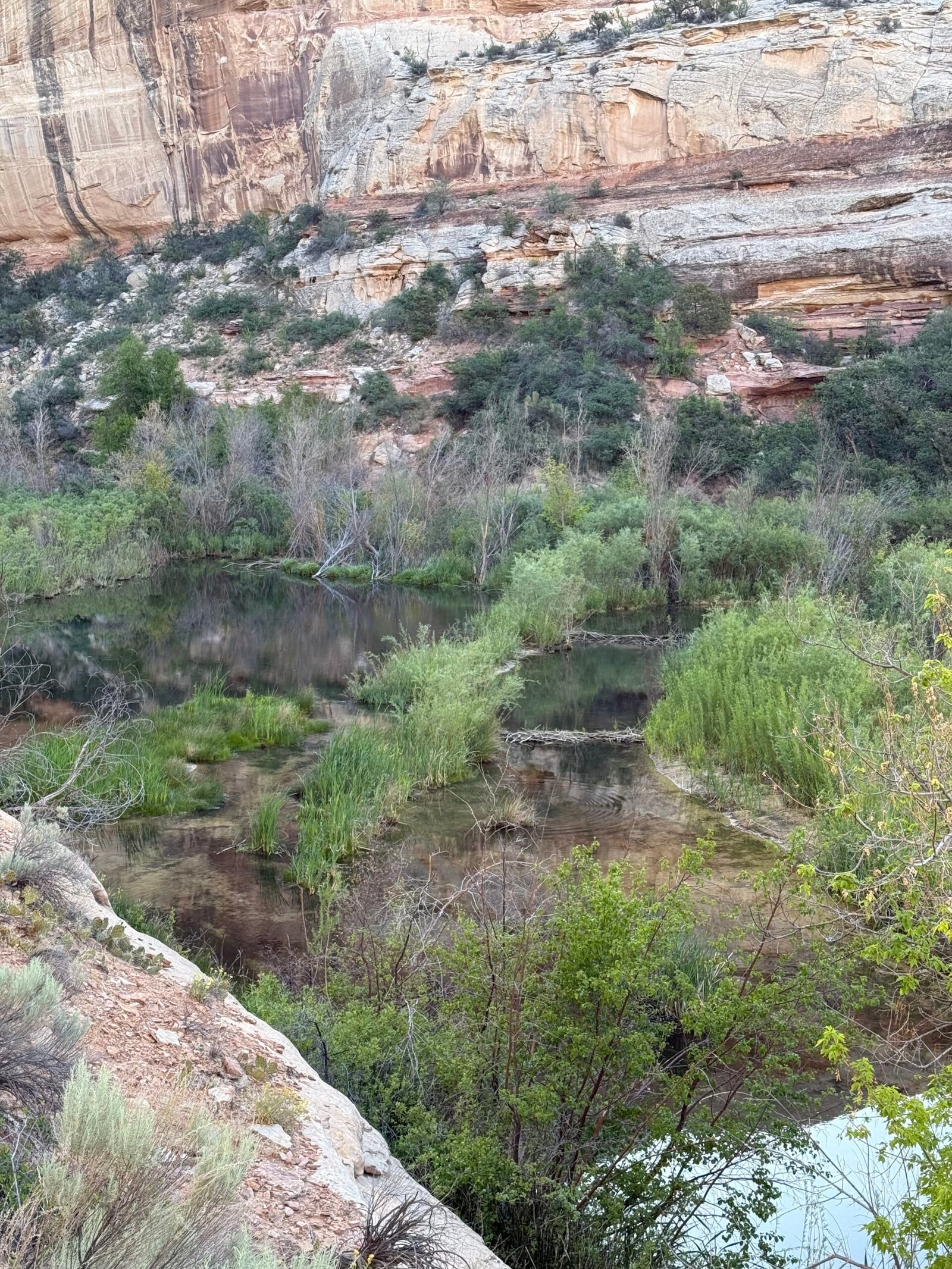
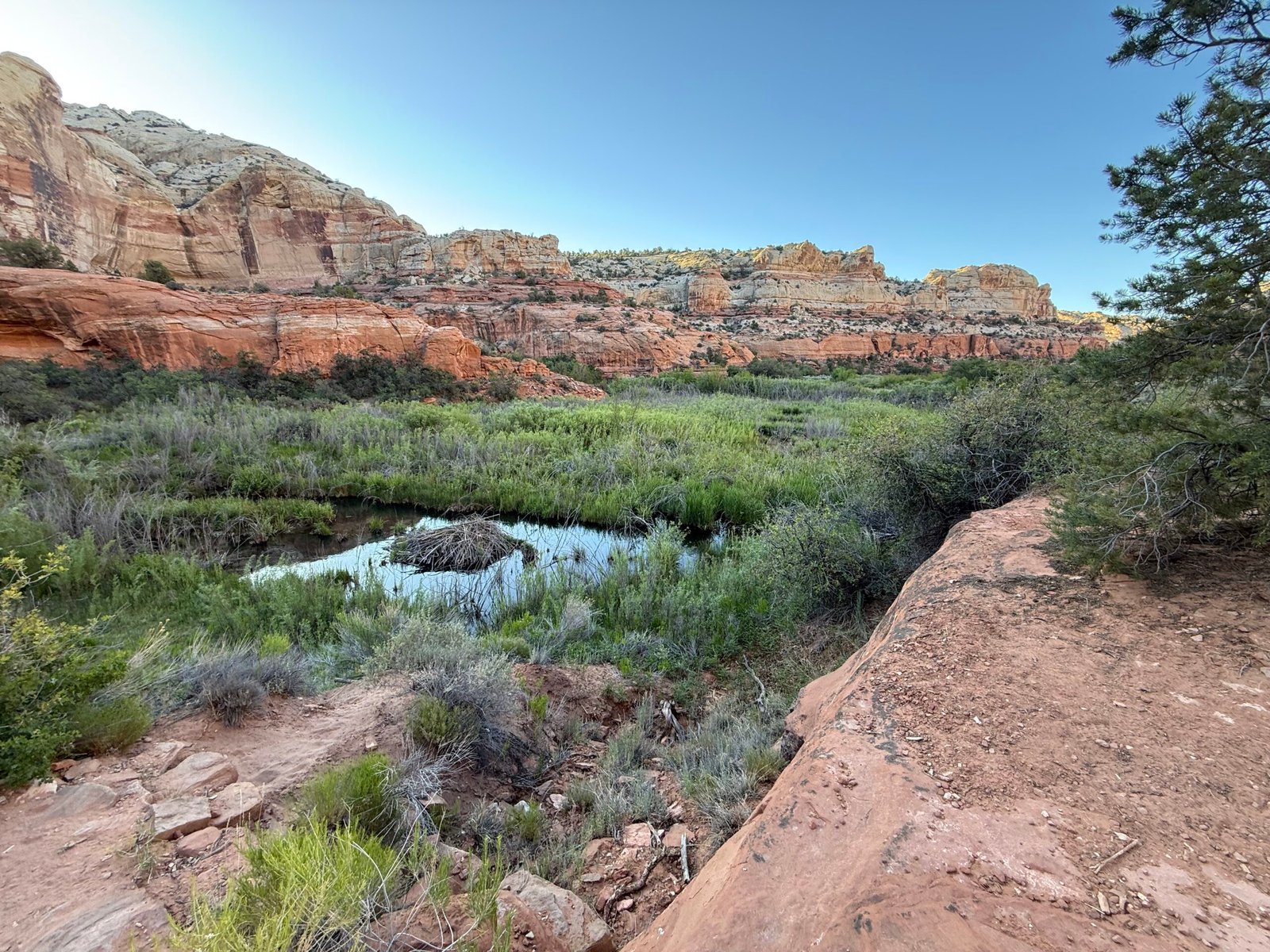
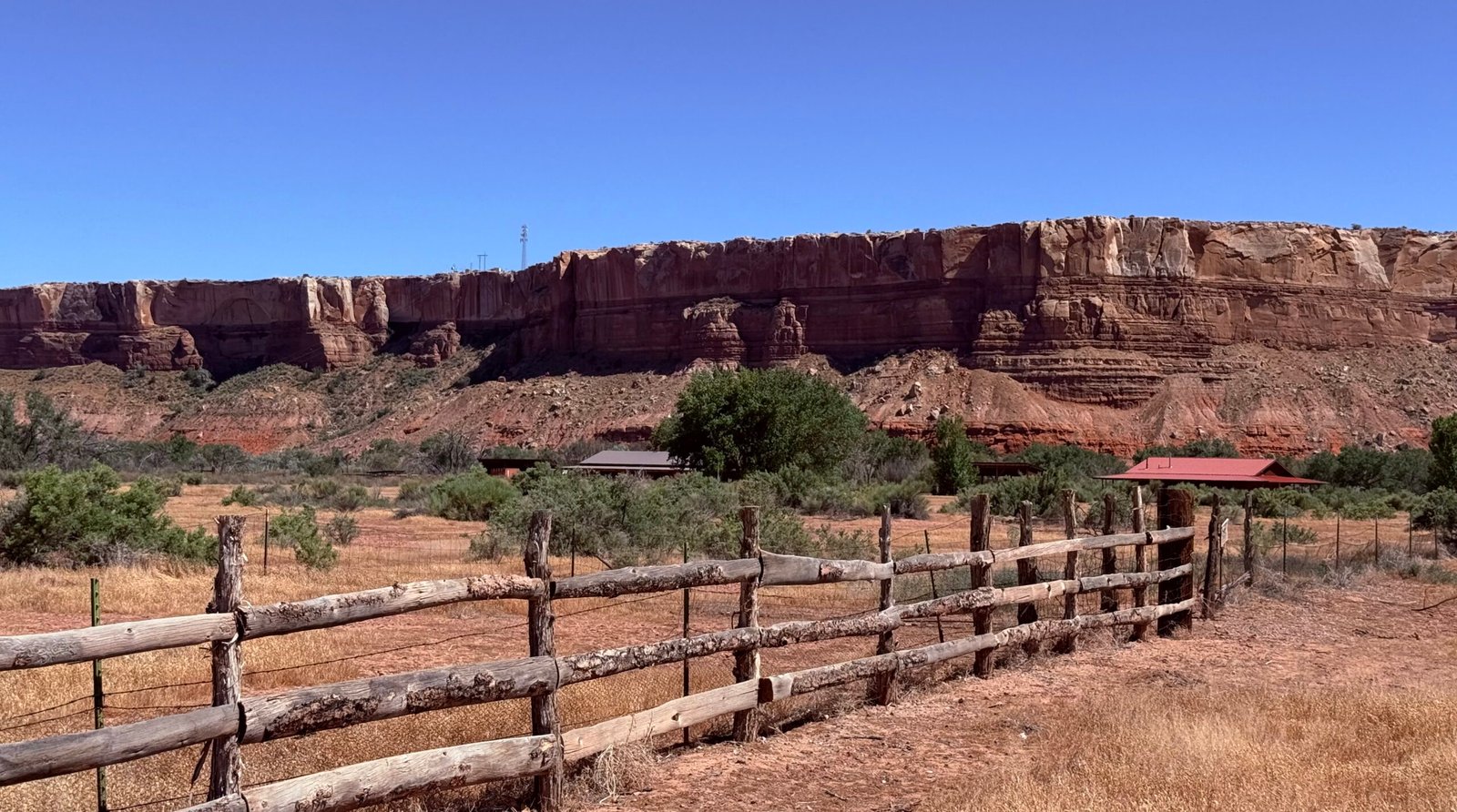
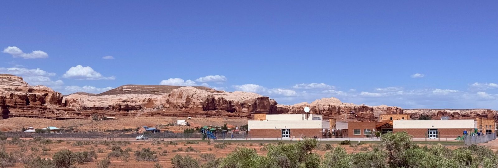
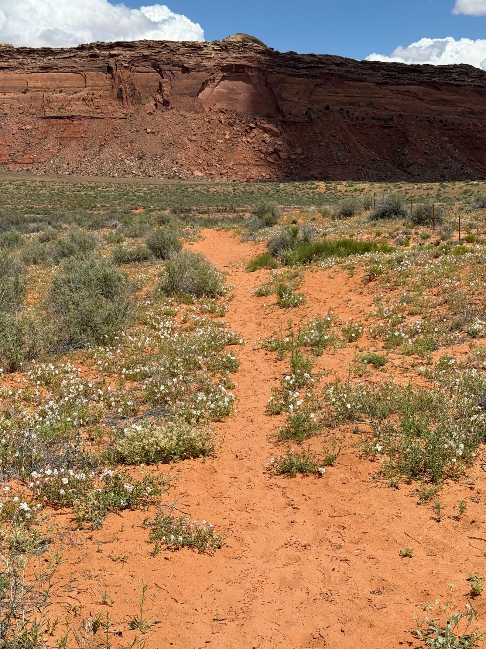
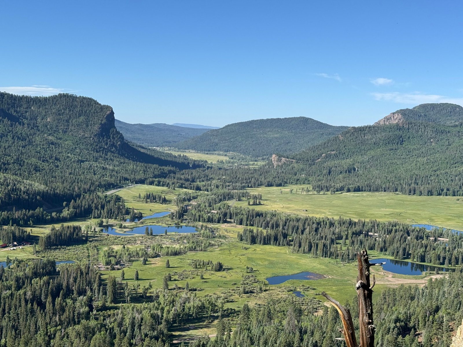
Early in May this year, the BEP sponsored a star party at Goosenecks State Park, and it was great fun sharing the sky with the campers there. The next event was in Monticello at the Discovery Center, in support of the local high school. The Discovery Center had just come under the BEP umbrella, and a legacy grant had just finished up the installation of a 14-in telescope inside a pretty sweet observatory.
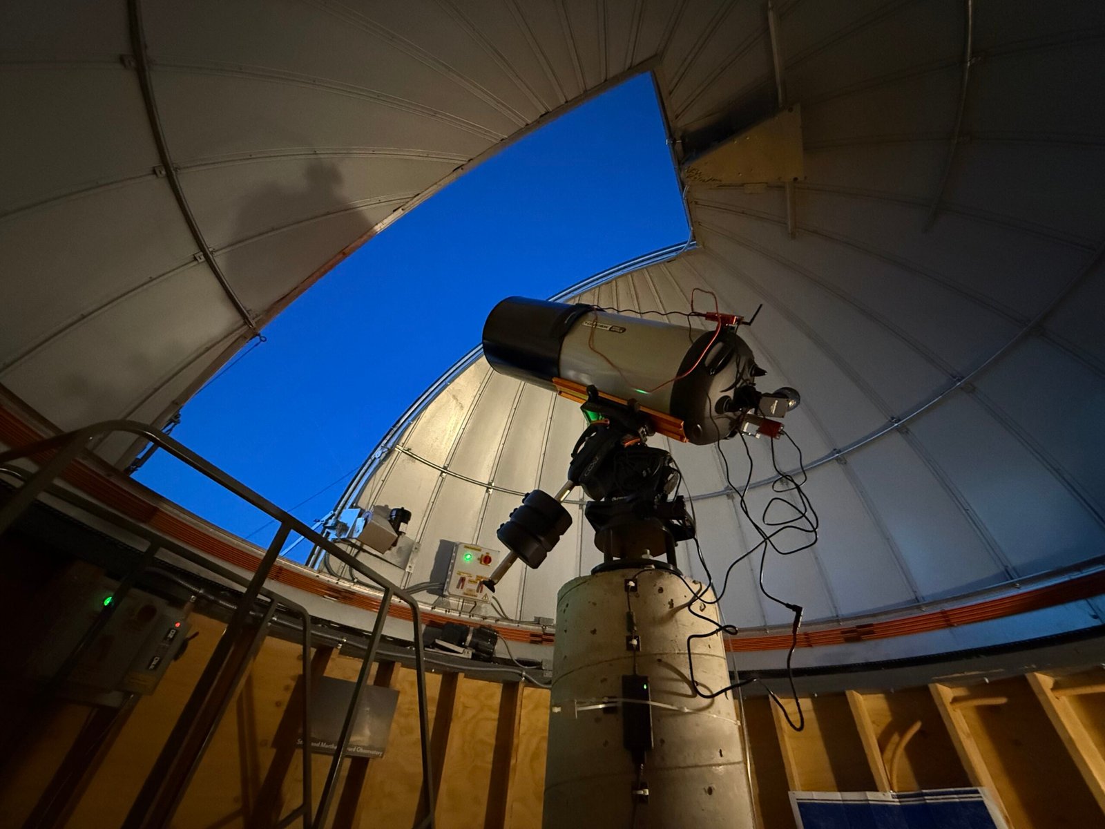
Sarah and Carolyn have been checking out the new scope, and wanted to know if I might be interested in helping.
Duh.
They had taken a few truly stunning photos late in April, but they were wanting to make it easier to share in near-real time with a group.
So we had fun tinkering around with the high school group and then even made a dedicated run back up to Monticello later in the week to sort out the system. We snapped photos of the equipment model numbers and pondered how to best get these deep space photons onto the retinas of the unwashed masses.
The observatory dome is not linked to the telescope and requires an operator to move the dome around whenever the telescope is repositioned. And there is a staircase on wheels that has to be managed.
We all kinda fell into different roles and Carolyn ended up moving the stairs and chasing the telescope with the dome. It completely reminded me of Young Frankenstein with Igor at the controls. “Yes Master!“
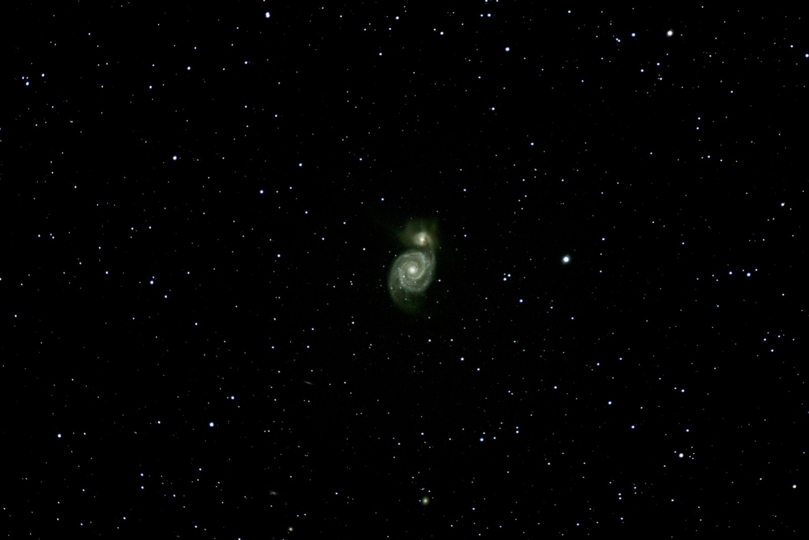
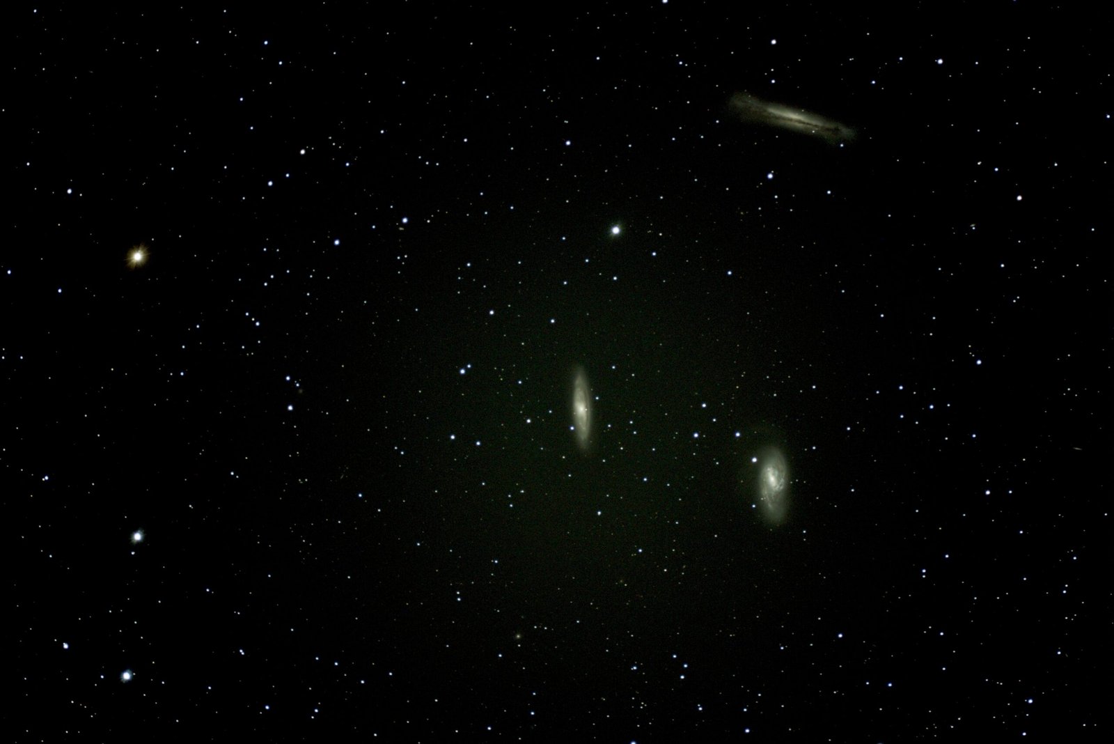
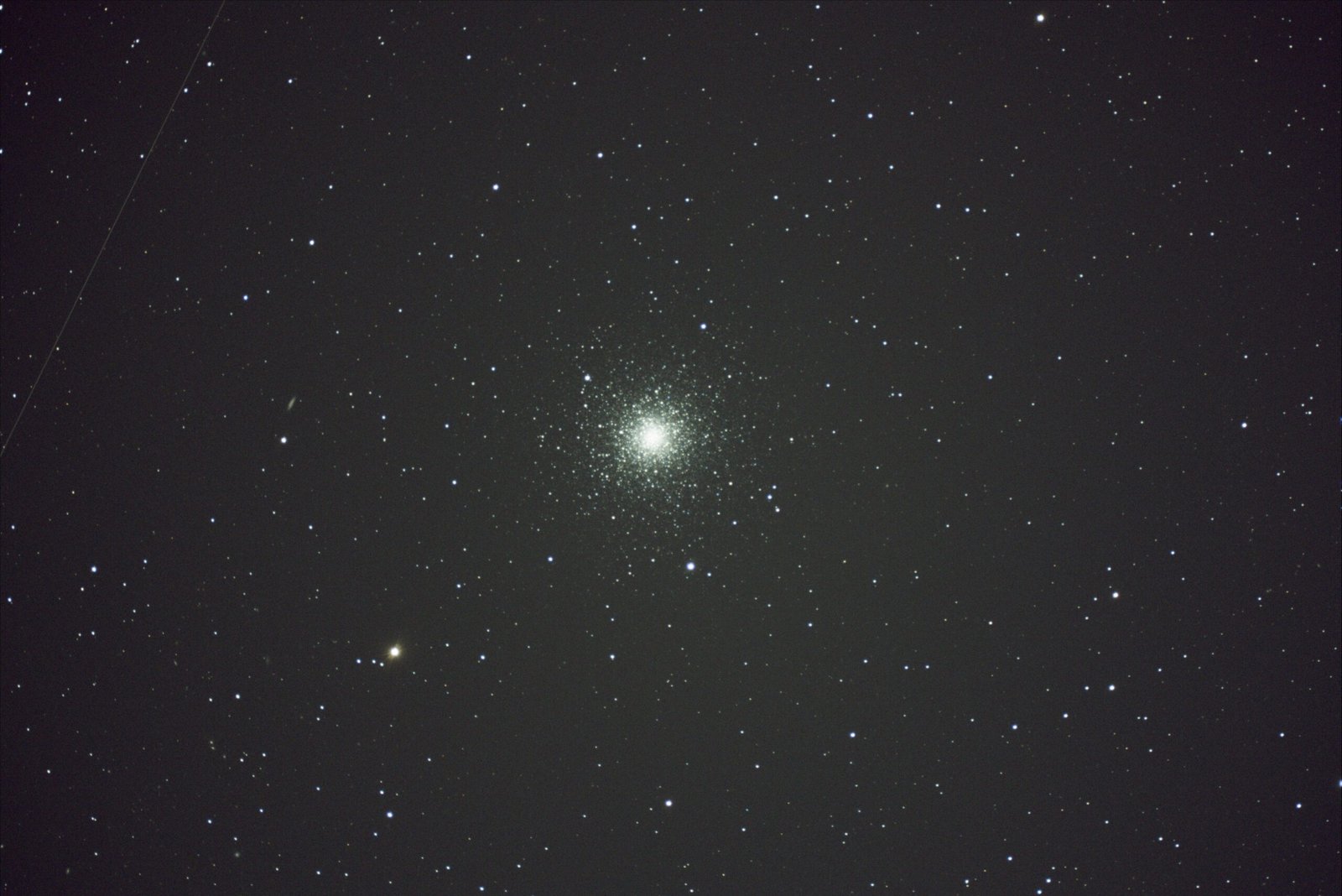
Since this was just an investigation of how the systems worked, we didn’t turn the Center’s outside lights off. We didn’t even darken the lights in the observatory. And we just did the minimum image capture/stacking to understand how to point the telescope easily. And even with all the glare these images were also pretty stunning.
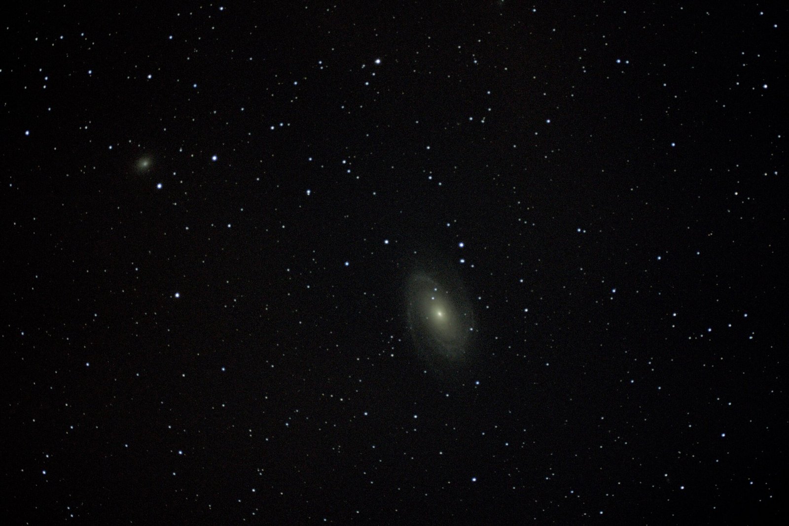
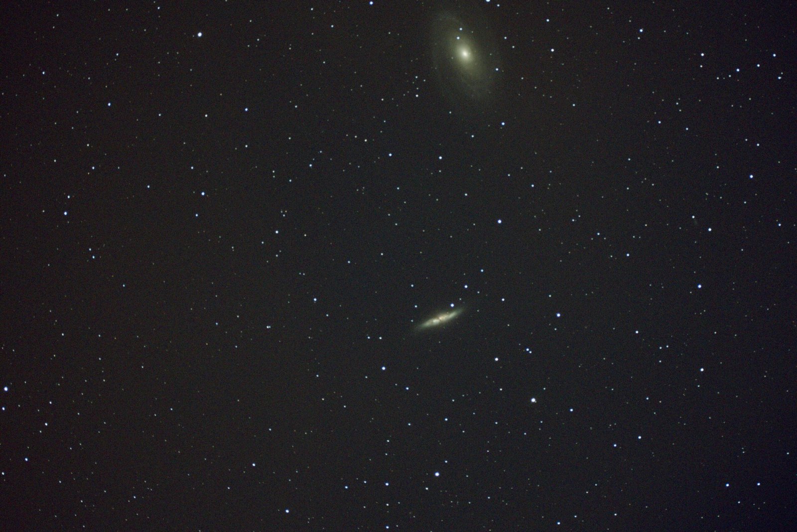
There is something that happens to me when I see more than one galaxy in an image. It’s estimated that each galaxy contains over 1,000,000,000 stars, and to see two or three at a time is just beyond comprehension. Our little teeny tiny Whoville is such an insignificant speck in the cosmos. Should we get what we get while we can? Should we be humbled by the immensity of it all? Should we reach for the stars? Should we realize that we are living in paradise, today?
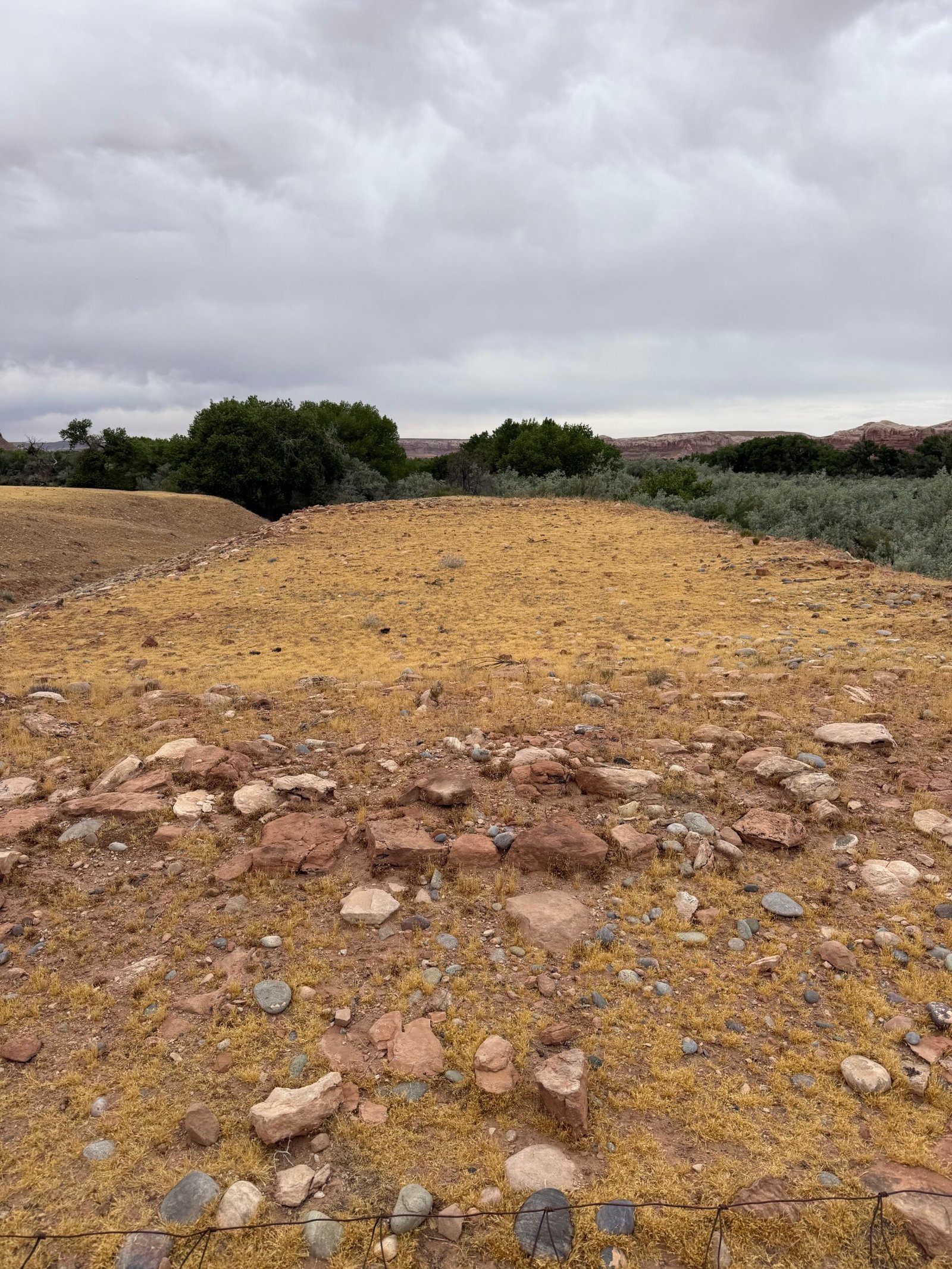
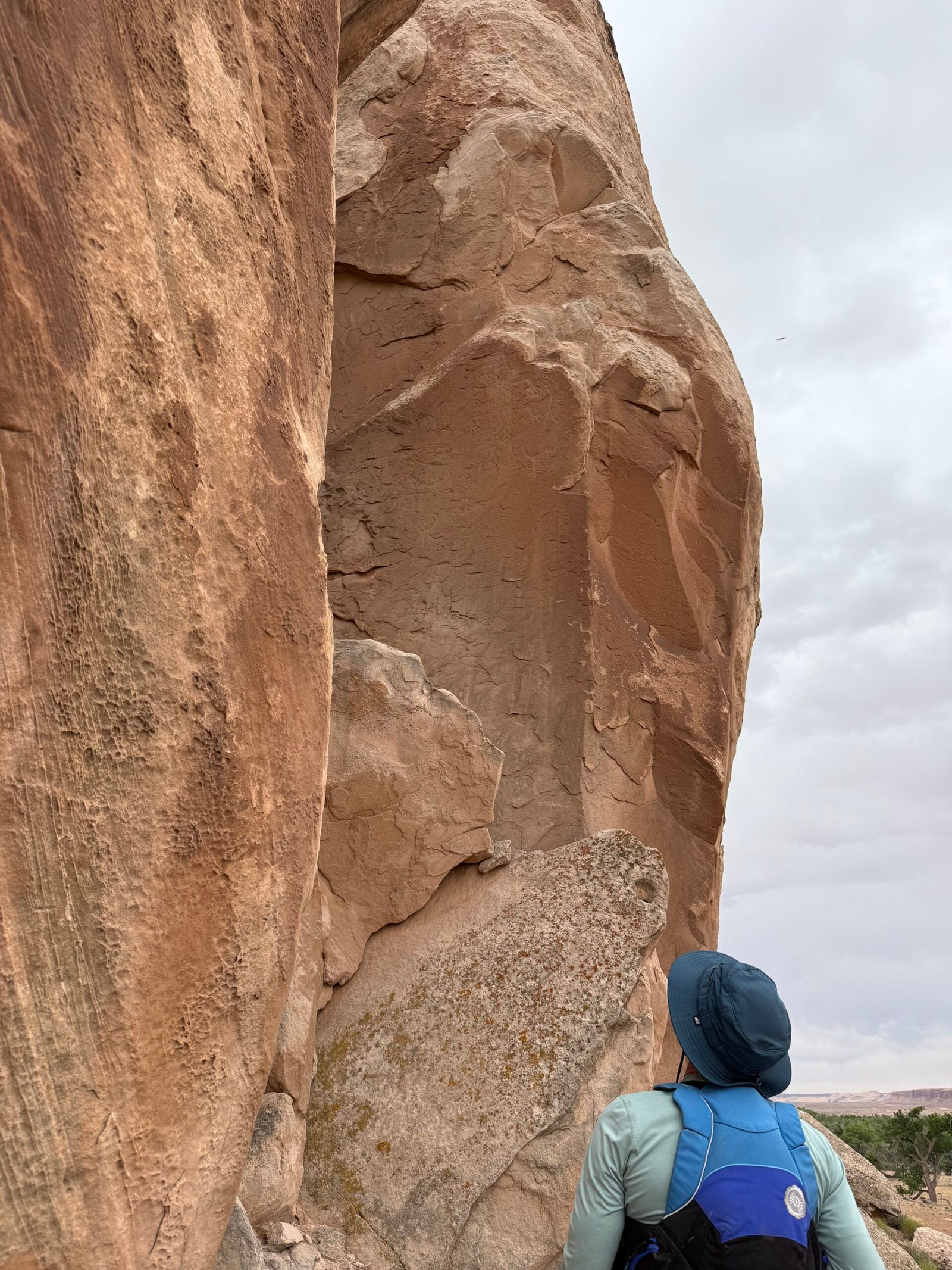
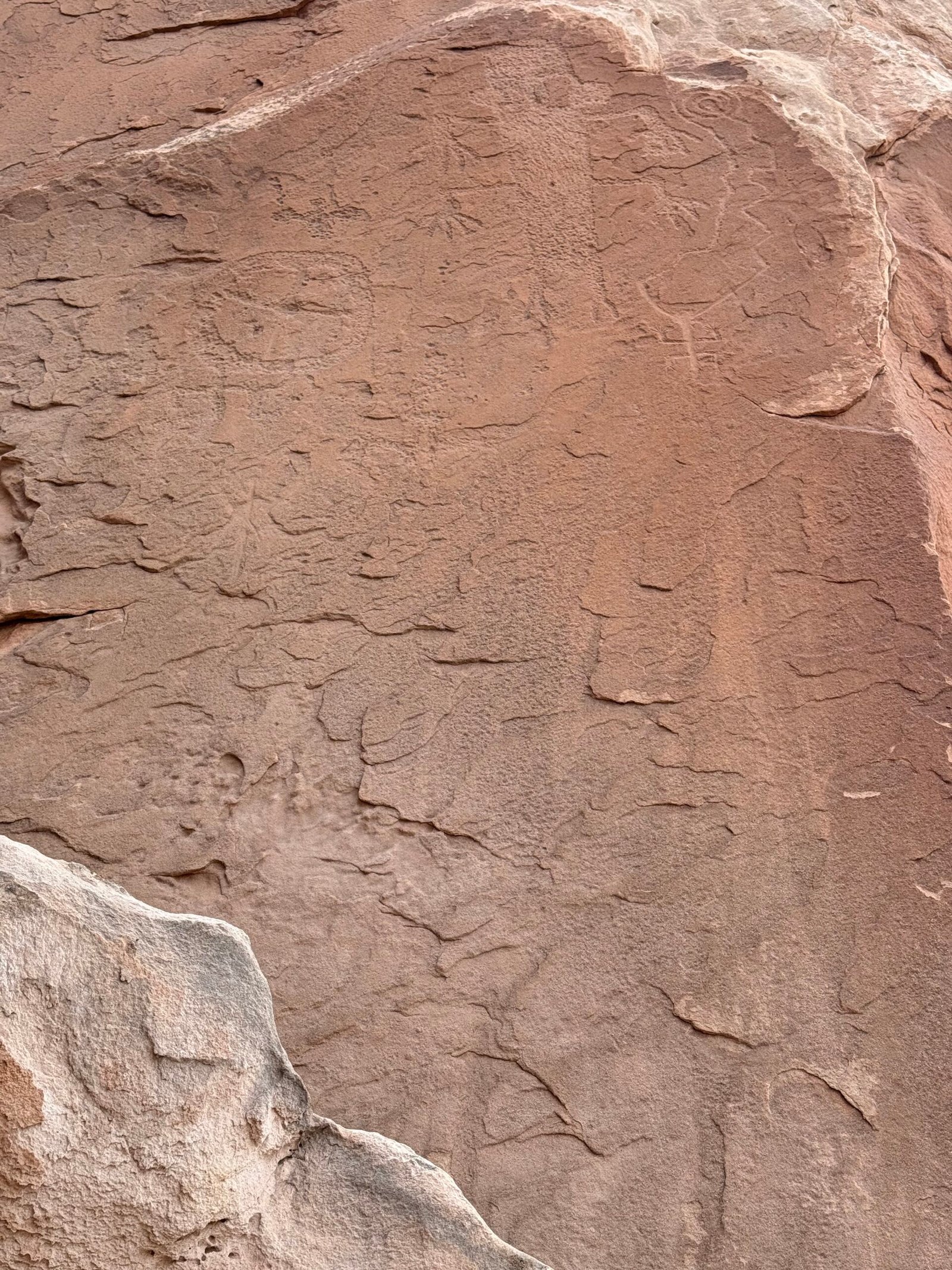
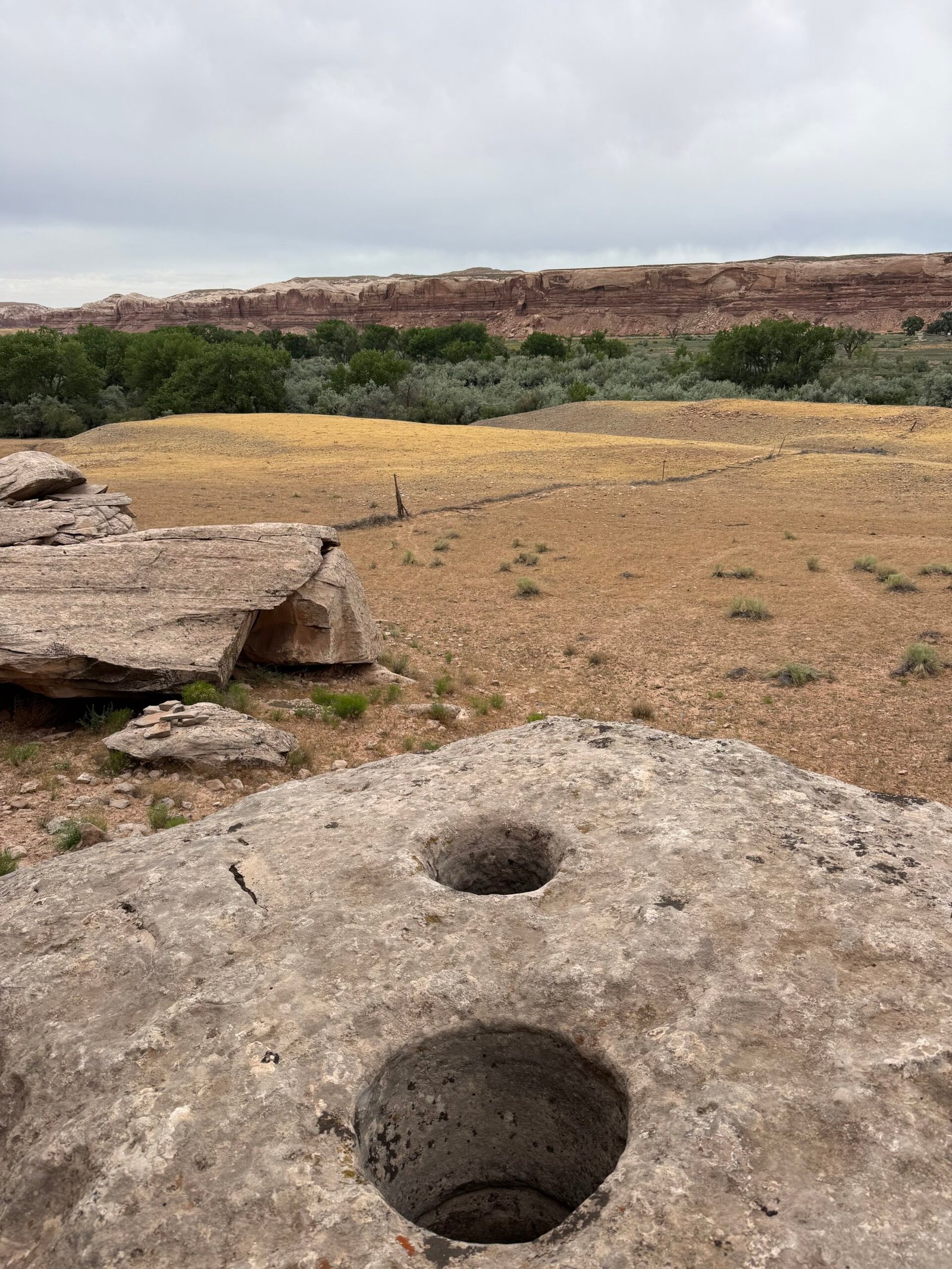
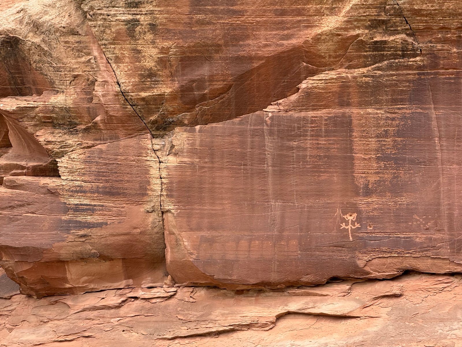
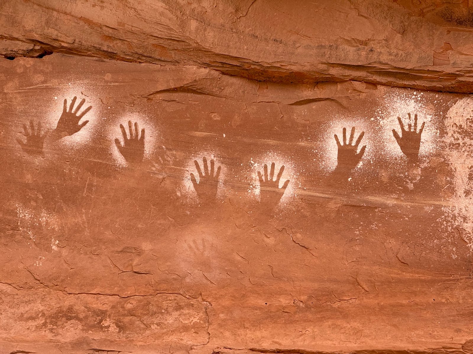
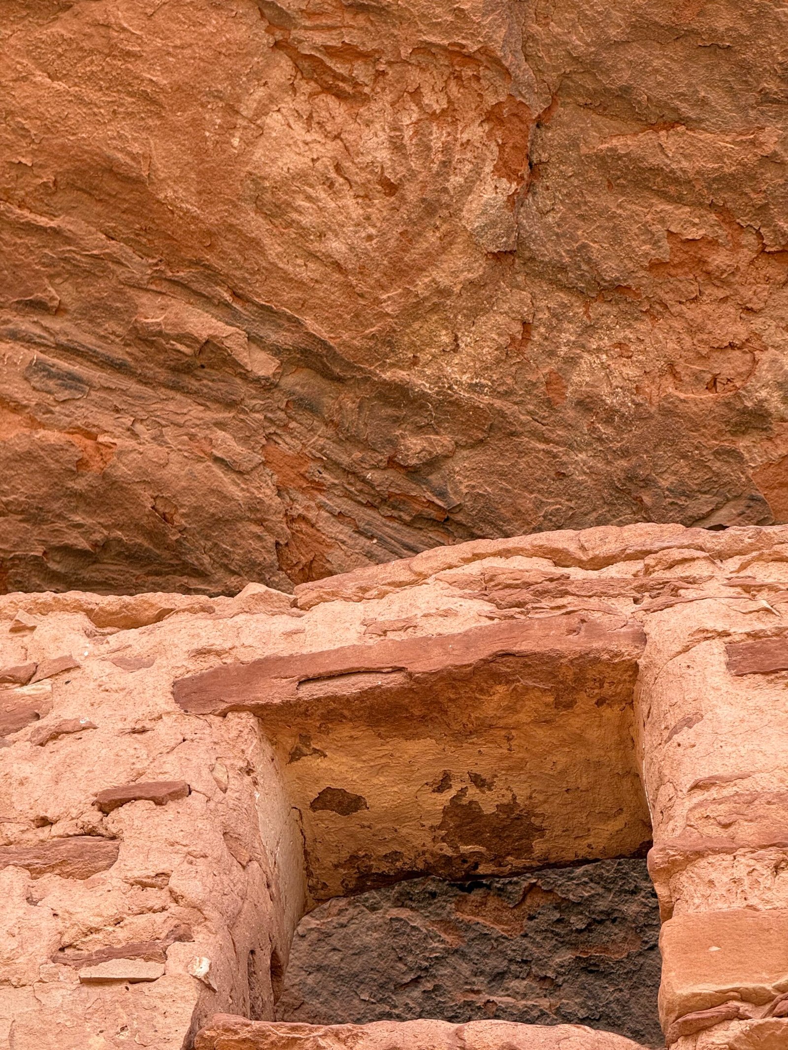
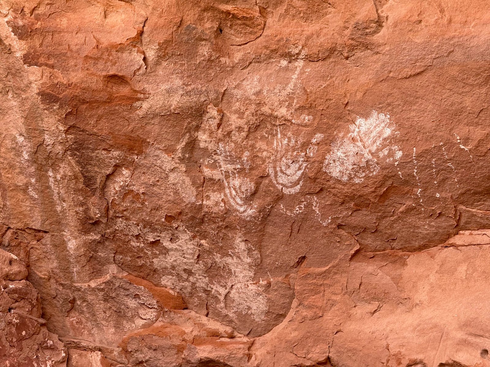
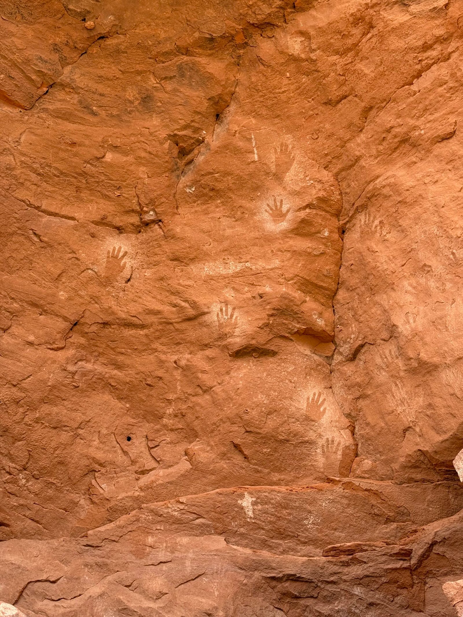
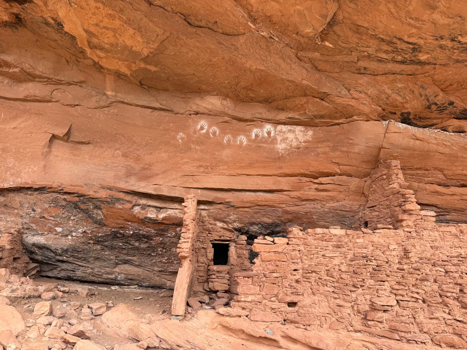
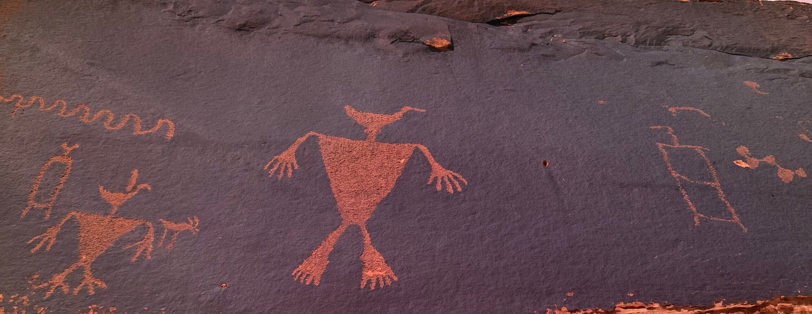
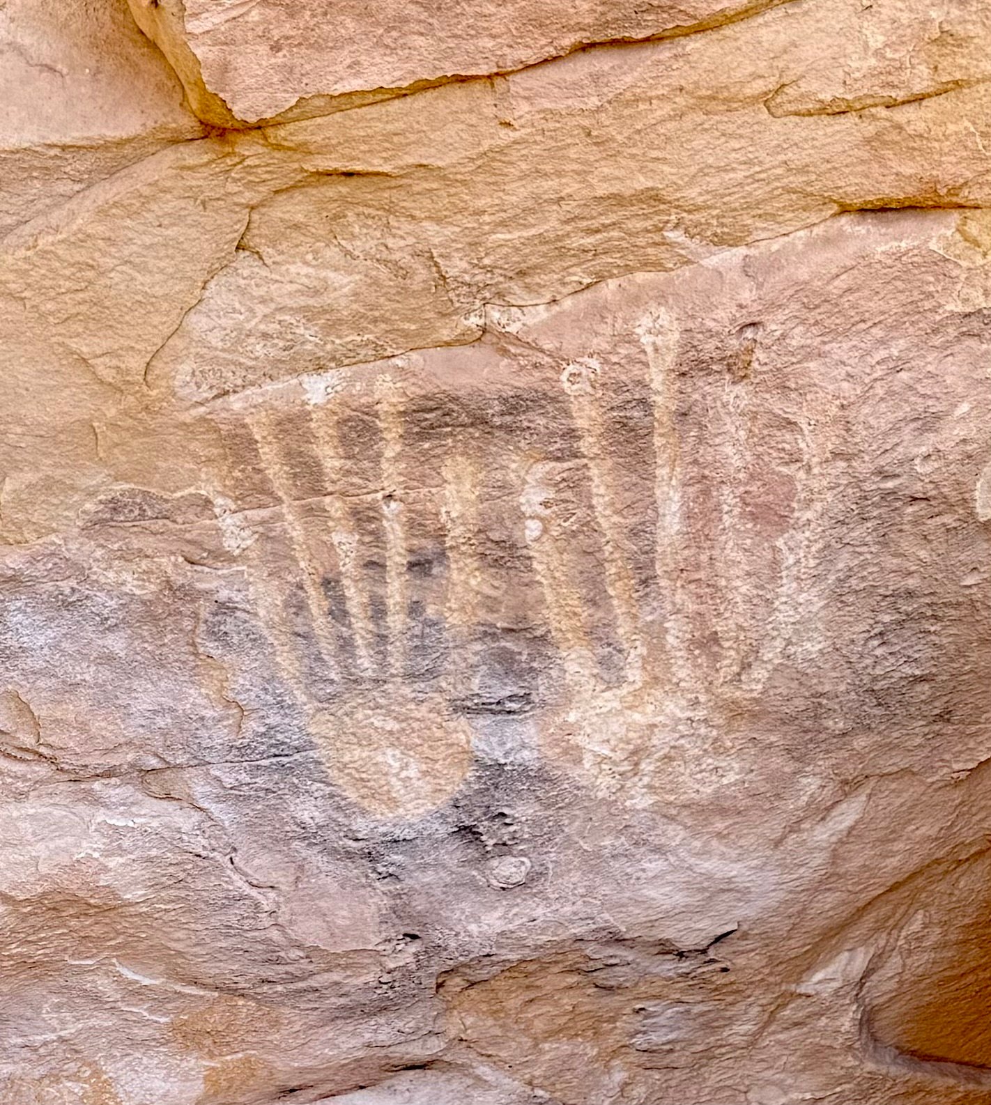
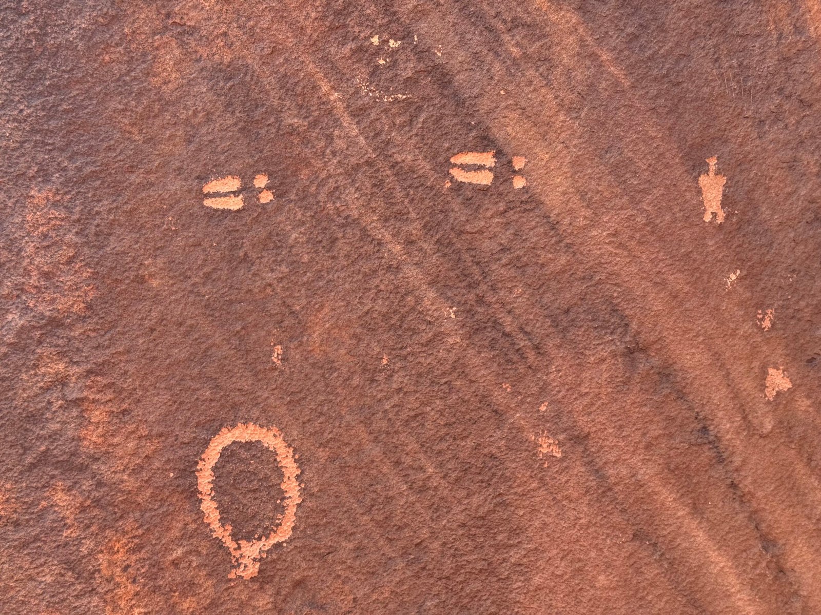
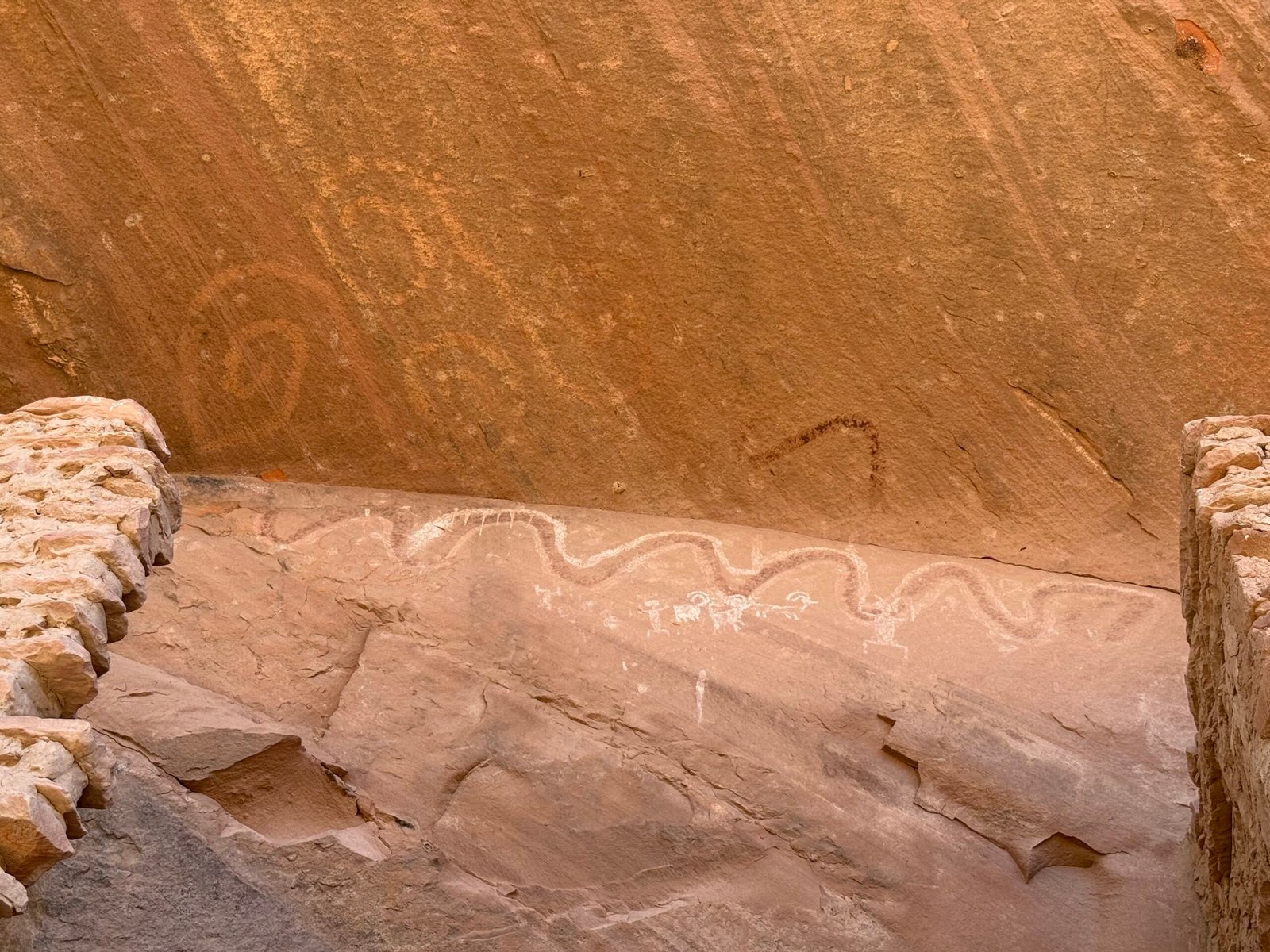
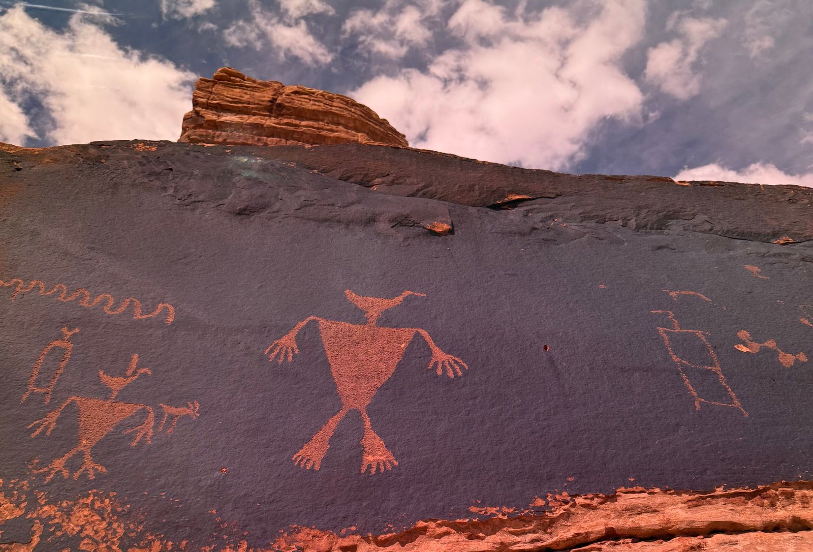
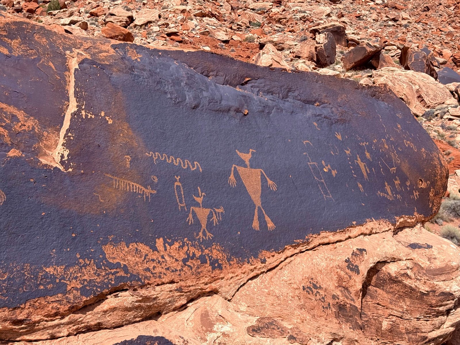
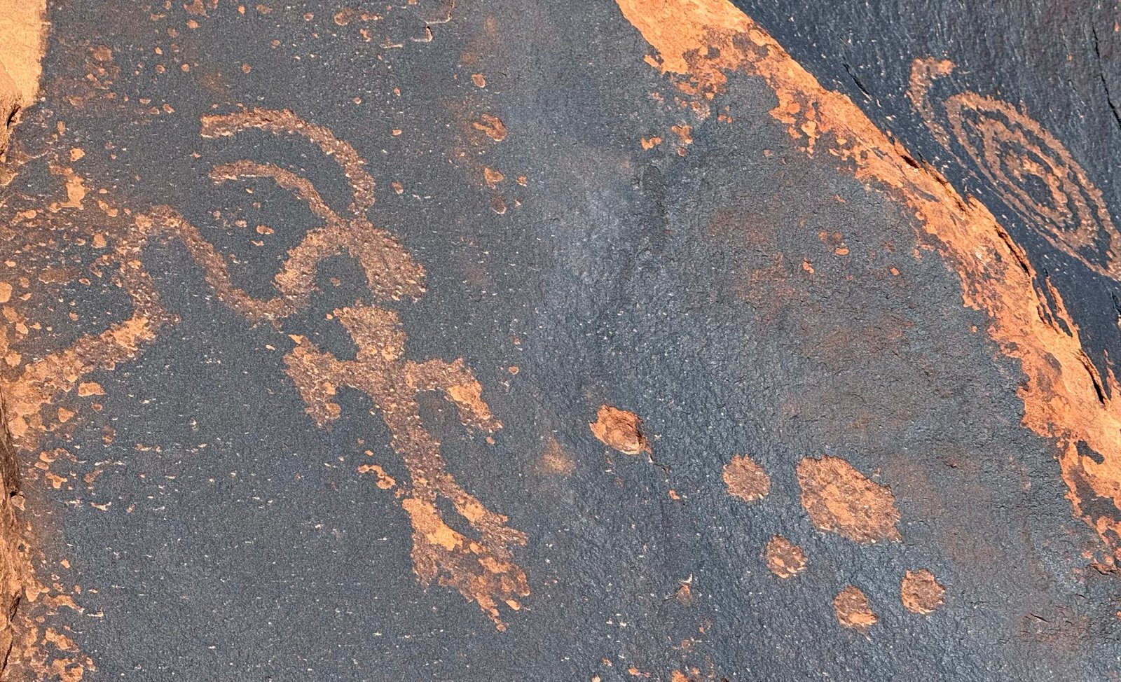
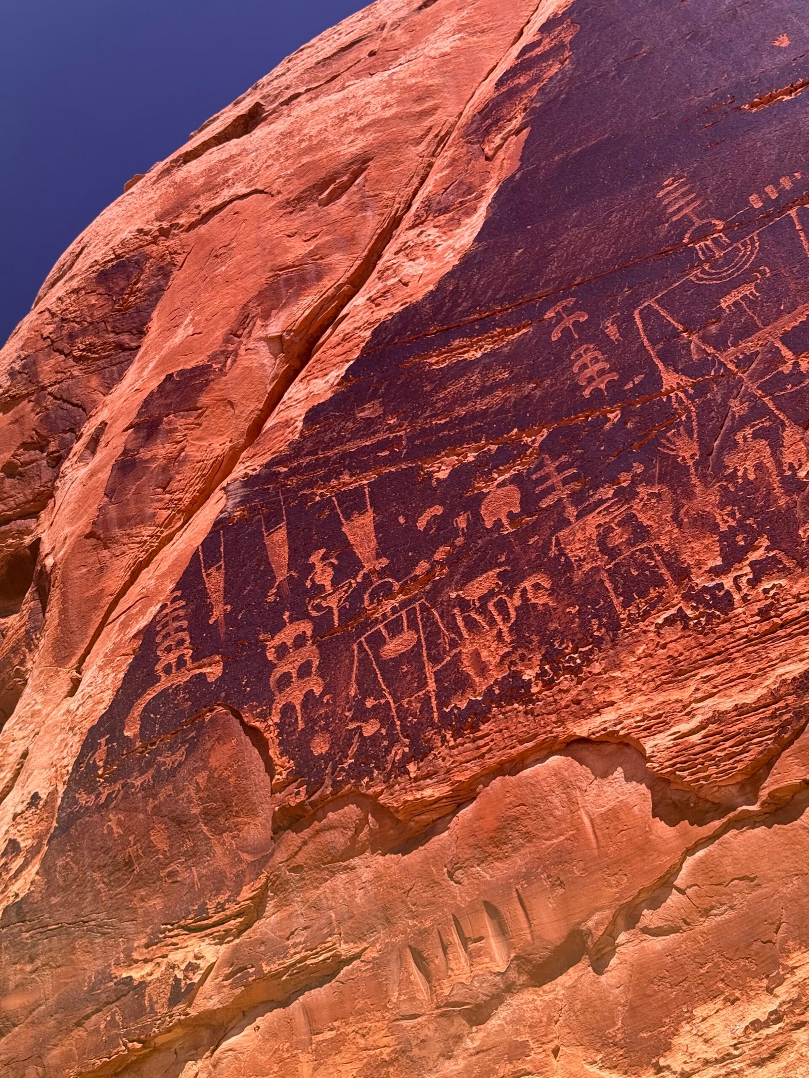
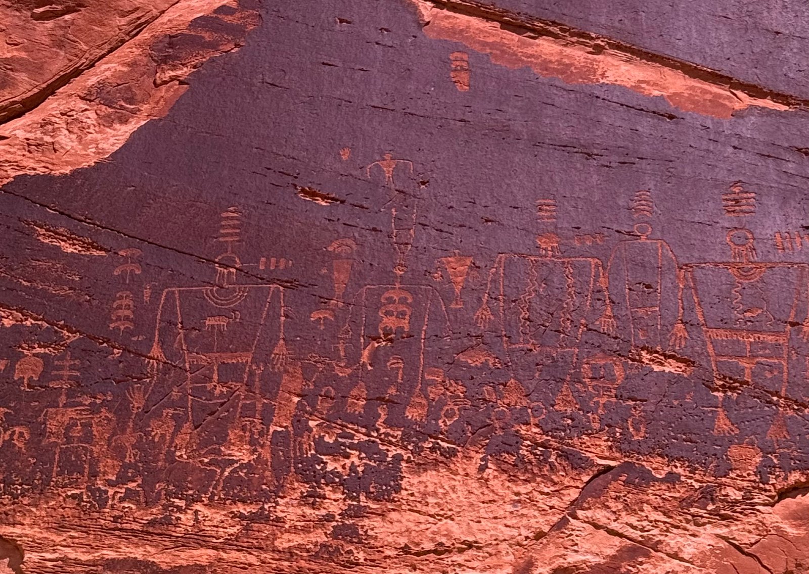
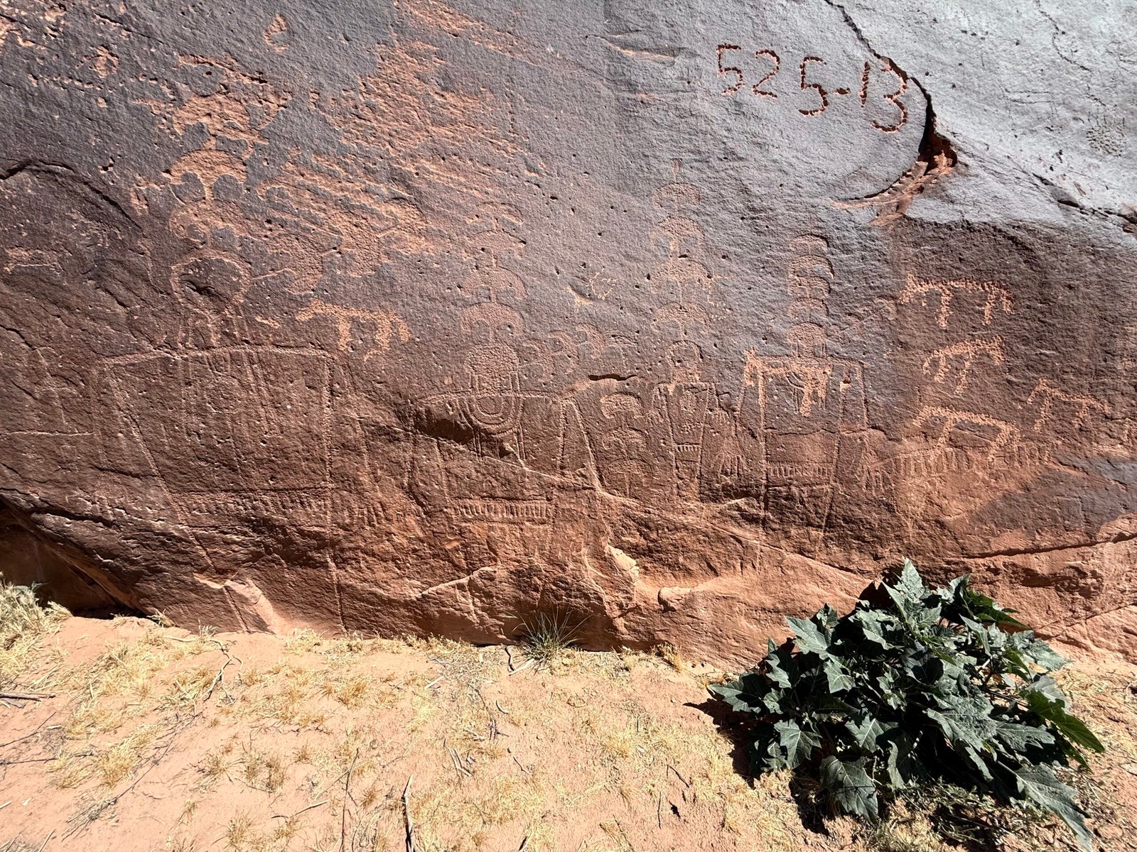
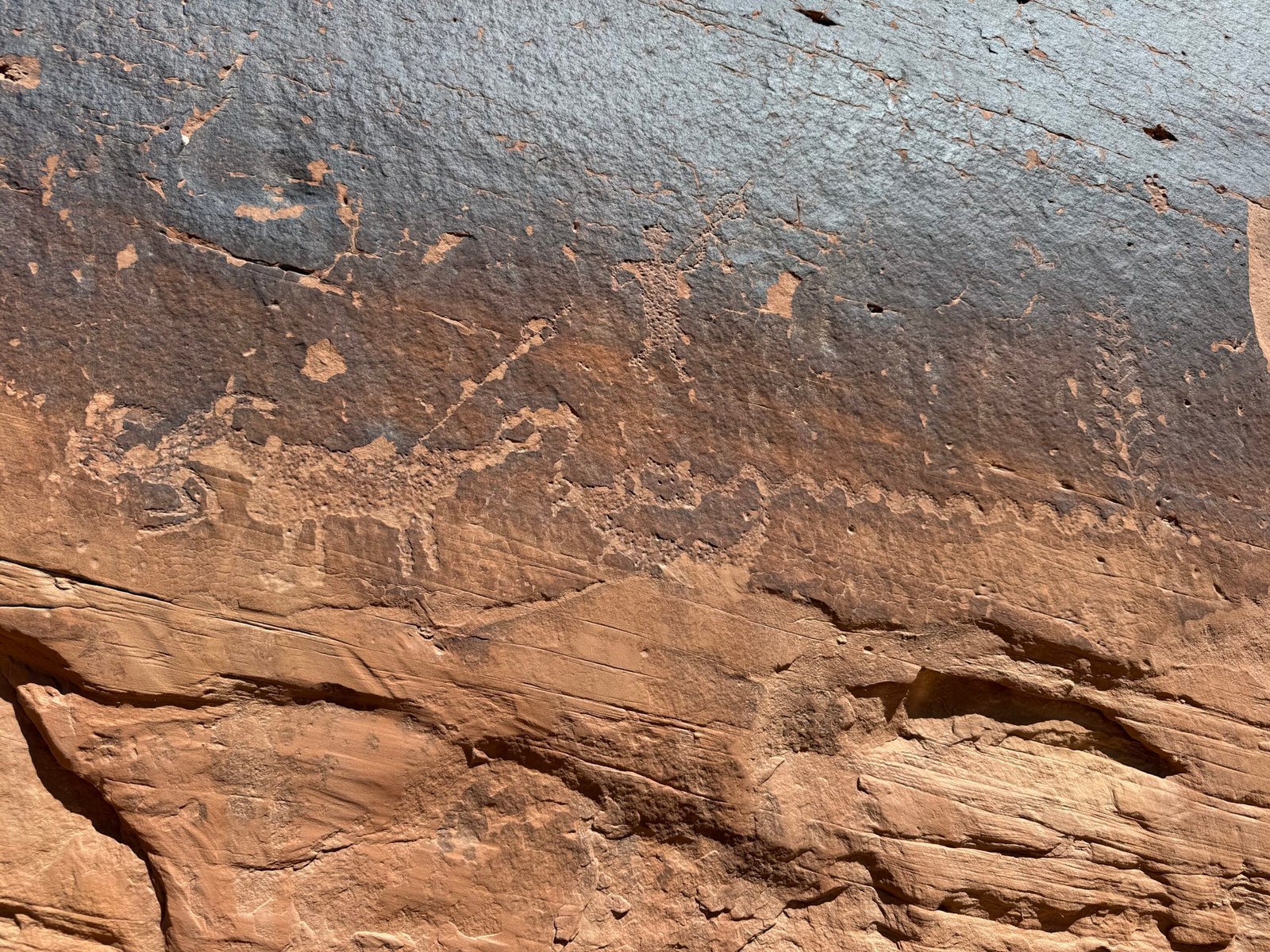
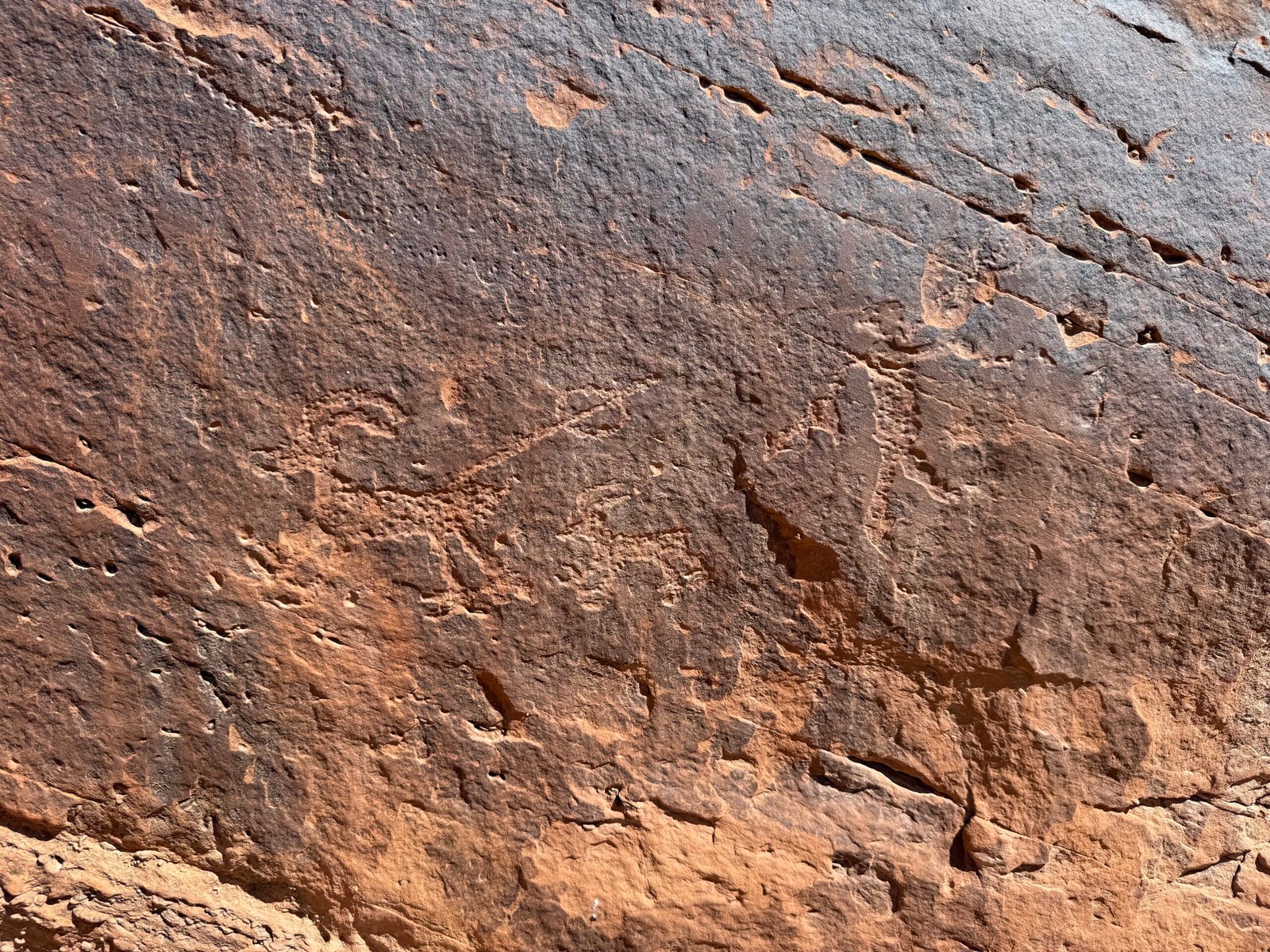
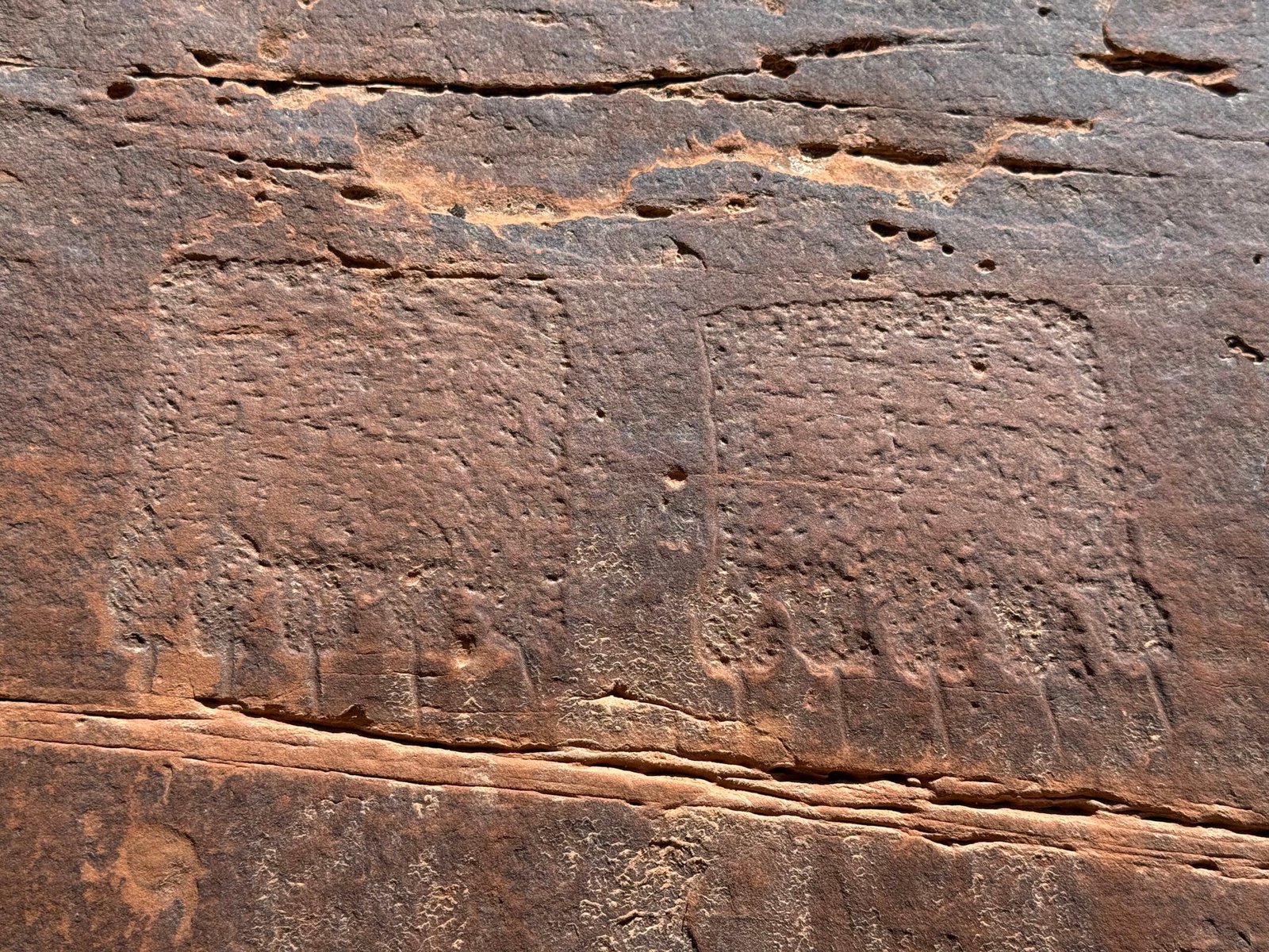
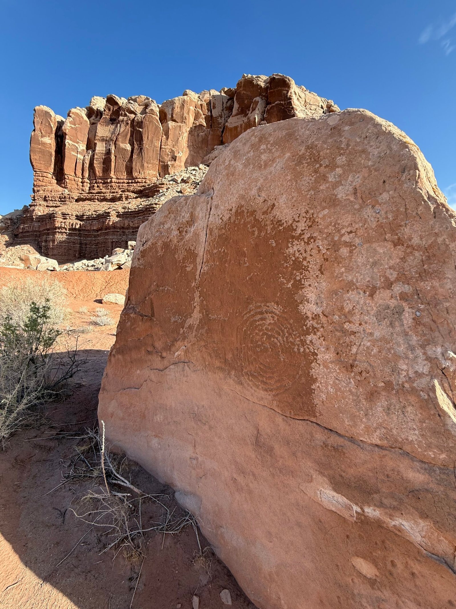
The ancients lived by the stars. And a theme that shows itself both New World and Old is a cycle of the moon known as a lunar standstill, or lunistice. While we see a spiral in much of the rockart here in the southwest, sometimes it represents a journey. But sometimes, if you count the spiral, you find about nine lines on either side of the center, totaling 18. I think this is called a Grand Spiral, and it signifies the span of time in years where the moon alternates between its northernmost and southernmost points. And in the Chacoan culture, they have very long-range structures set up to observe phenomena like this.
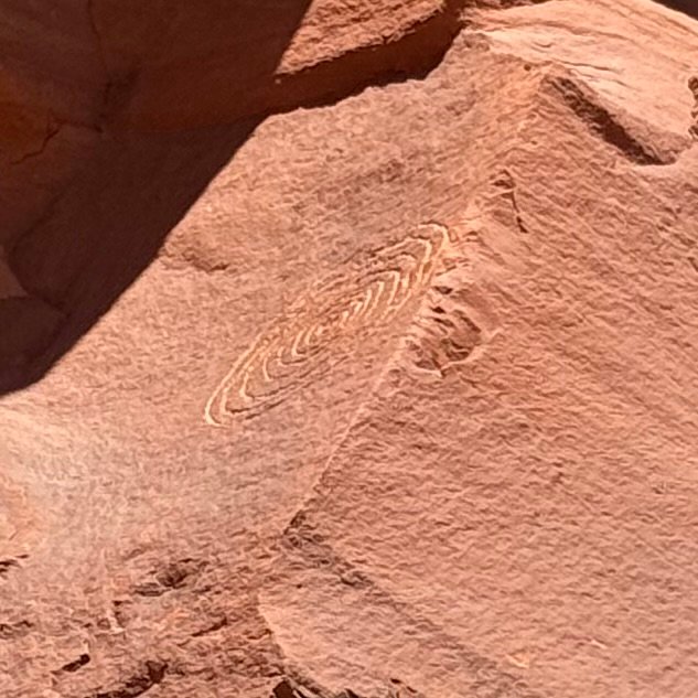
Talking with a good friend that is into the Hebrew culture, I learned that they too observe a lunar calendar. It makes sense after all. But theirs is 19 years. Modern physics tells us the cycle is actually 18.6 years.
I love it. It makes things real for me. The physics, the spirituality, the essence of existing in this vast world.
G. K. Chesterton was know as the “Master of Paradox.” He speaks a thing, and you say “No, that is not correct.” But then you chew on it a bit and he changes your mind. Here Chesterton is making the case that it’s the logicians, not the poets, that go mad:
Poetry is sane because it floats easily in an infinite sea; reason seeks to cross the infinite sea, and so make it finite. The poet only desires exaltation and expansion, a world to stretch himself in. The poet only asks to get his head into the heavens. It is the logician who seeks to get the heavens into his head. And it is his head that splits.
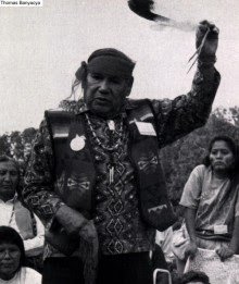
The physical world and the spiritual world are not separate. The Hopi tried to tell us that, as I have mentioned in my last post. There is a reason the Universe excites us.
Carmen is the volunteer that replaced us for June. So when we returned in order to hang out for the star parties, we shared the campground. All I can say is that the more we got to know him, the more humbling it became. A very low-key guy, he had a home in the saguaros and chollas west of Tucson, he knew the desert. In his professional career before retirement, he restored paintings, and he has completed restorations of at least 10 murals in capitol buildings around the country. In his volunteer life, he works in conservation, one goal being to remove defunct and dangerous barbed wire from unused land. His group has removed over 100 miles of the evil stuff.
With a couple of nights to go before the AstroFest, Brandon’s wife Veronica had flown out to join him for a few days. In the afternoon we had dinner at Comb Ridge Eat & Drink one last time, enjoying the friendly staff and our waiter Charles’ tall tales.
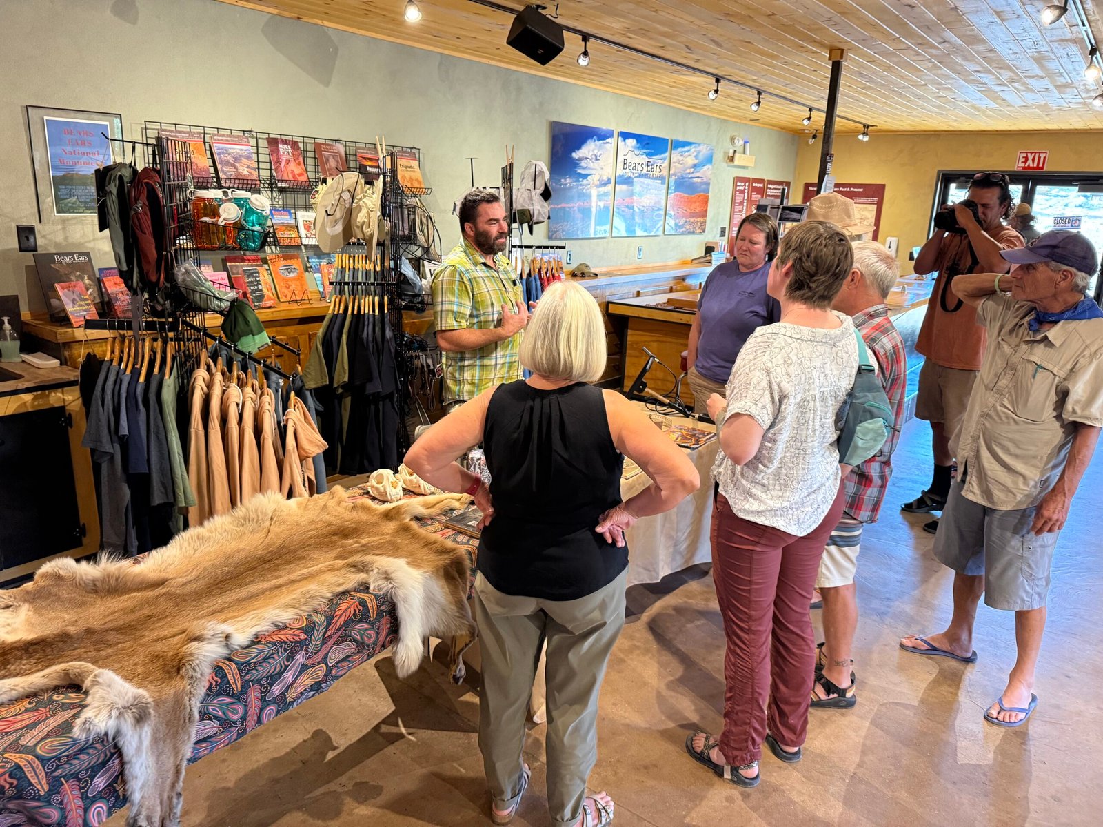
Tonight there was a talk on mountain lions. Denise Peterson, and her husband David have spent countless hours backcountry researching them as founders of Utah Mountain Lion Conservation, literally moving to Utah just for the opportunity to study them. Their passion is evident.
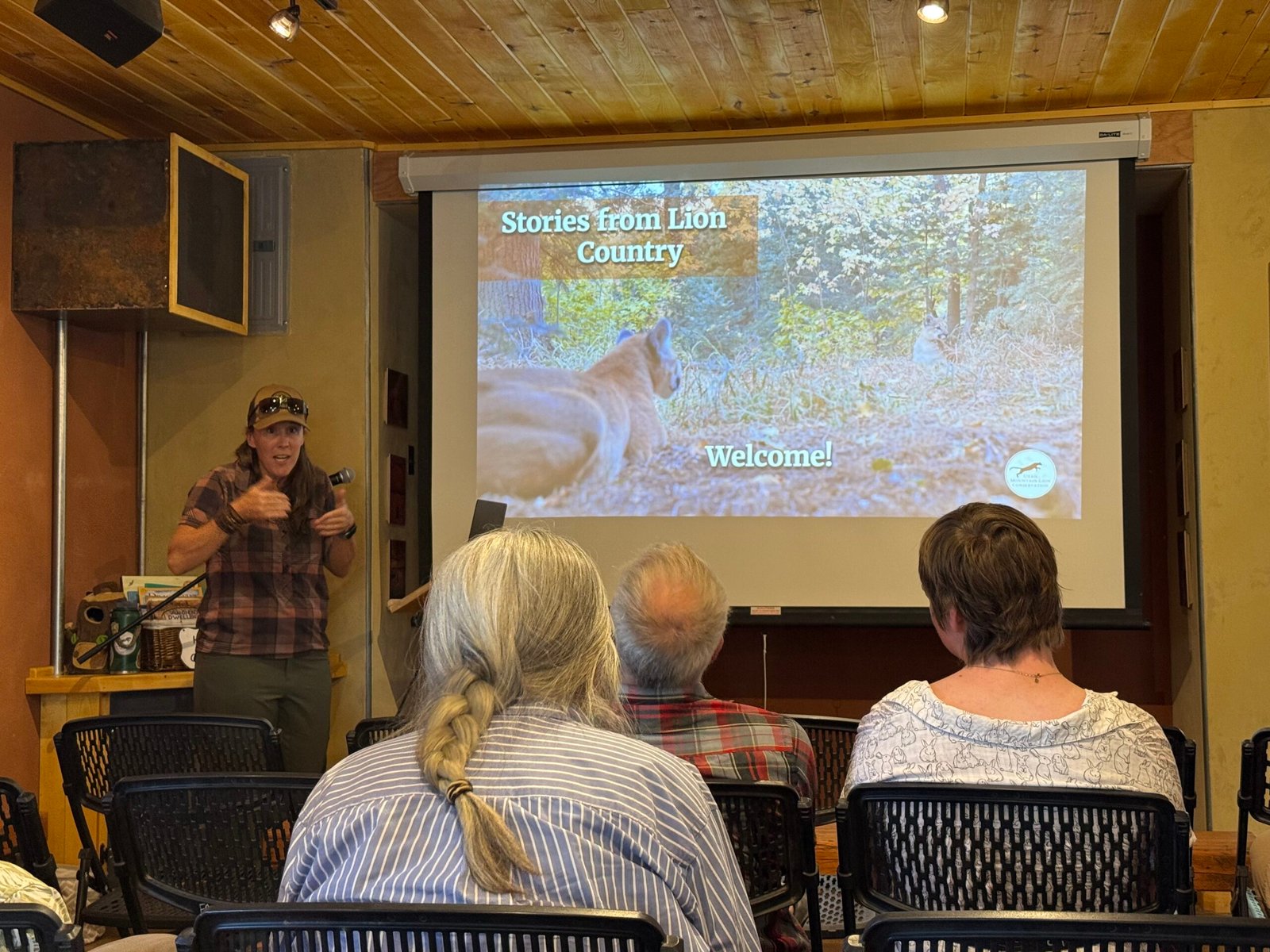
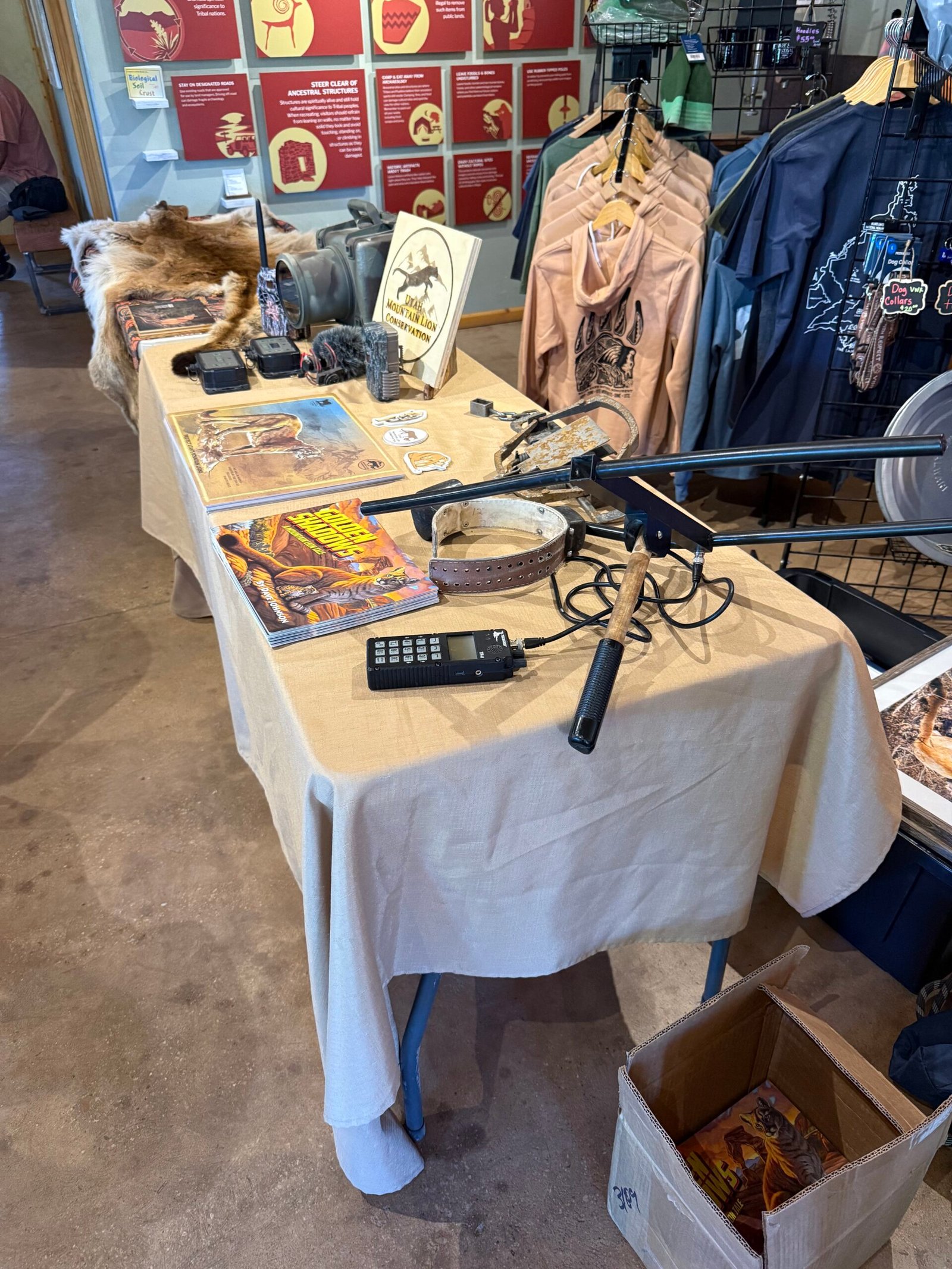
Having over 40 mountain lion encounters under her belt, including moms guarding their kittens, Denise is a wealth of knowledge on their behavior. And she sums up any encounter with two points:
- Understand what the mountain lion is trying to tell you, and
- Formulate your response accordingly
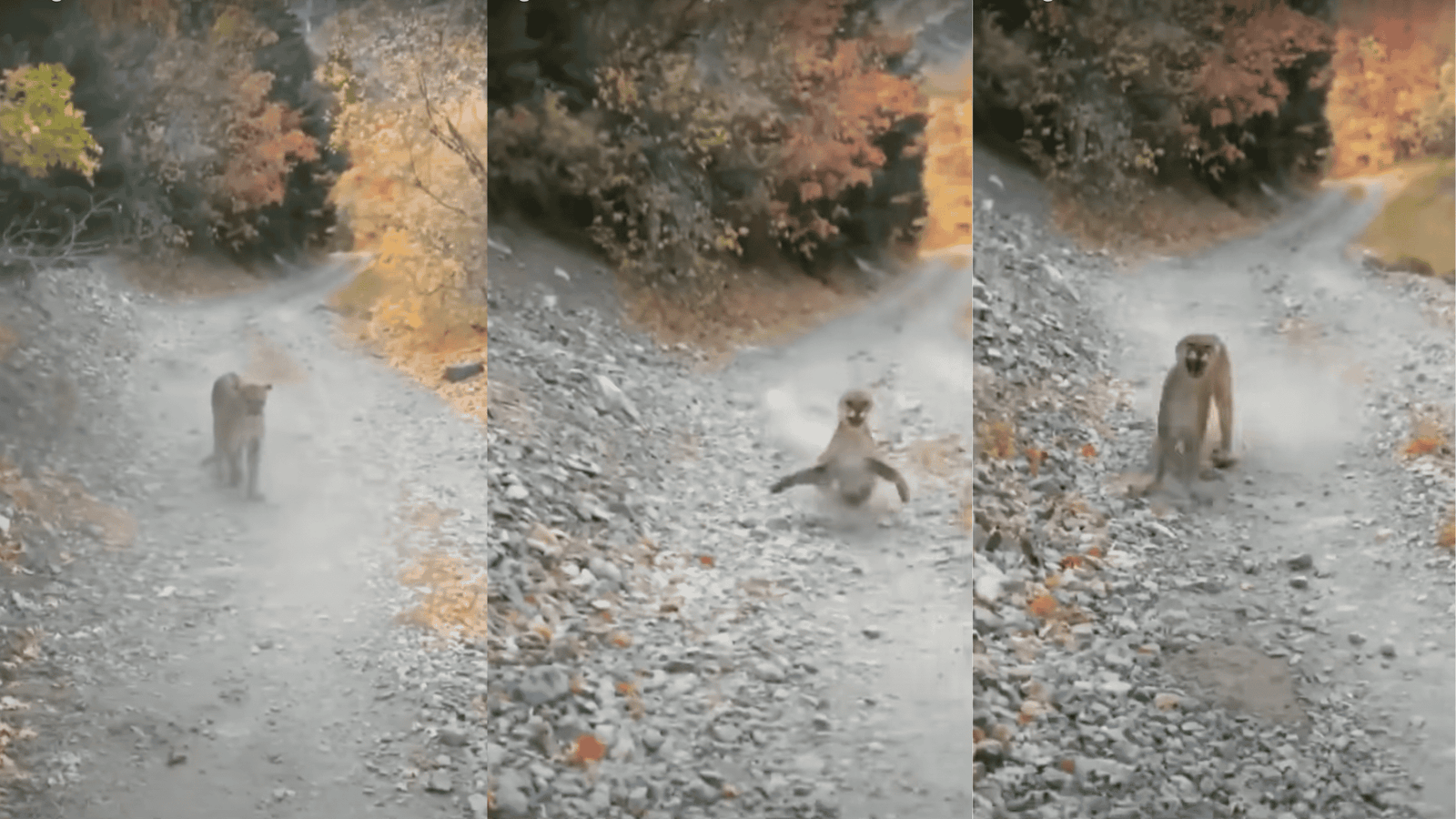
For example, if a big cat is actually stalking you, you want to be big and scary. But with an agitated mom protecting her cubs, you have to deescalate. She showed us bits of the (in)famous clip of the Kyle Burgess encounter where, over the course of 7 minutes, he continually moved down the trail trying to get away from a mother with cubs.
According to Denise, the cat has raised her front paws repeatedly and is telling Kyle to go away. But his focus on videoing the encounter just kept the pressure on her. When he finally picked up a rock and tossed it, she turned and ran back to her cubs.
Denise even called Kyle to talk about it. Because the stigma of scary animals has profound consequences, both in the wild and politically. Denise discussed how the State of Utah, in a last-minute rider on legislation, passed a resolution paying hunters and trappers to exterminate mountain lions by any means necessary in several hunting units. Snares, traps, and guns, kittens as well as adults. Deemed a “study,” it is to “investigate” how removing the predators might affect the ungulate population. There is no serious science behind this, and of course once the mountain lions are gone they’re not coming back anytime soon. We seem to treat anything other than “us” with great contempt. Back east, I’ve heard folks say that the declining turkey population is due to raccoons and possums eating their eggs. A little research on my part shows that most biologists believe it is much more likely to be habitat loss, probably due to development.
CWD, or Chronic Wasting Disease, has become a significant problem in the west for deer and elk, and it is moving eastward. The disease is not viral or bacterial, it’s actually a protein called a prion that is malformed, and its presence causes others to fold the same way. The animals just get weaker and weaker and in a couple of years they die, it’s 100% fatal. Meanwhile, while infected, they are spreading the prions around in the soil where they congregate. The prions can last for decades in the soil and are very resistant to decay, boiling the meat has no effect.
As it turns out, initial research shows that mountain lions and wolves that feed on the infected carrion can greatly reduce, maybe by over 95%, the amount of the CWD prions that make it into the soil. Mountain lions and wolves go for the easier, weaker targets, thereby boosting the herd’s overall health. As a hunter, would you go for a sick or ailing deer or elk? Or would you avoid it because of the tainted meat or emaciated look?
It’s something to think about. Denise’s argument is that it will be impossible to do a study of the effects of the predators if their populations are too low to begin with.
It was an excellent talk and we were glad we were able to attend. Later in the evening, several of the BEEC staff, volunteers, and even the Bluff mayor congregated around a picnic table in the courtyard and we just had a great time talking and laughing. I even recited poetry found on my beer can…
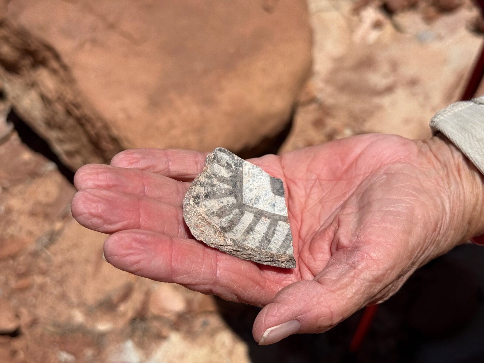
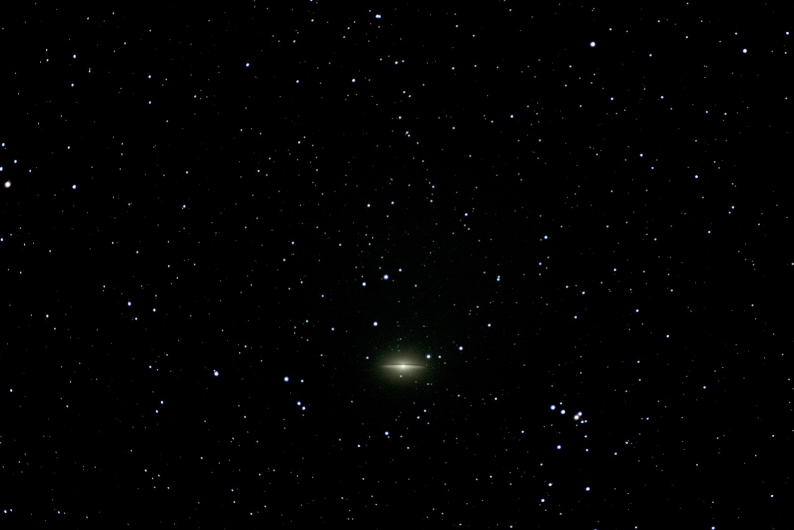
The next night I tested the setup and operation of one of the portable computer-controlled telescopes on Carmen and Patricia before our big night at Natural Bridges. It all went pretty well I think. I recounted how Messier, in the 1700’s had discovered smudges in the sky that did not look like stars, and had compiled a table of them. Today, known as Messier objects, or “M” objects, they tend to represent the visual limits of most amateur telescopes. These “smudges” can be distant galaxies, planetary nebulae, or clusters of stars that no one could discern back in the day. What would Messier have thought if he found out that his M65 was in fact a smudge of three galaxies close together (now known as the Leo Triplet) and comprised of over 3,000,000,000 stars?
After I had shown them that I could easily navigate to a few smudges, we called it a night.
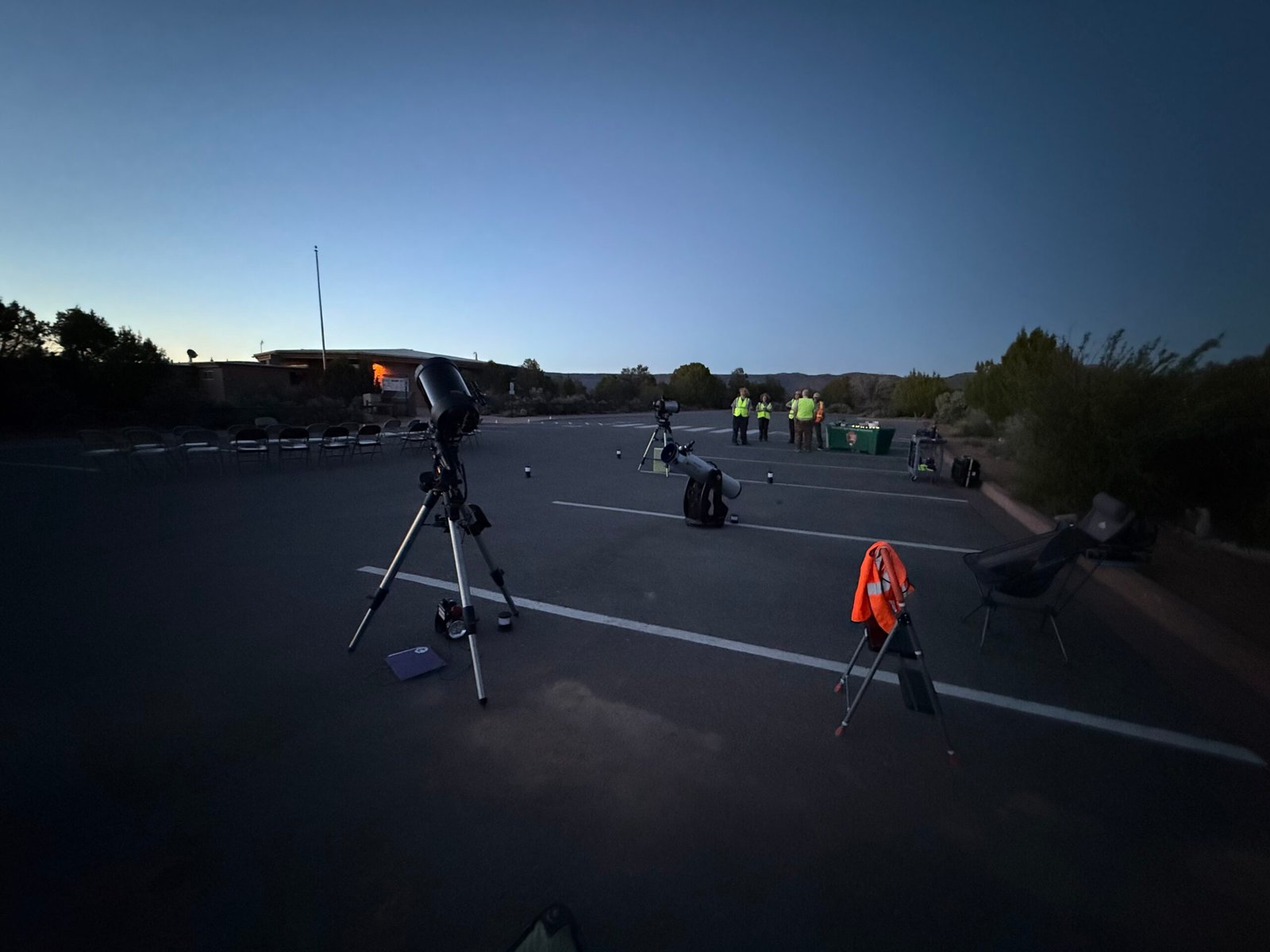
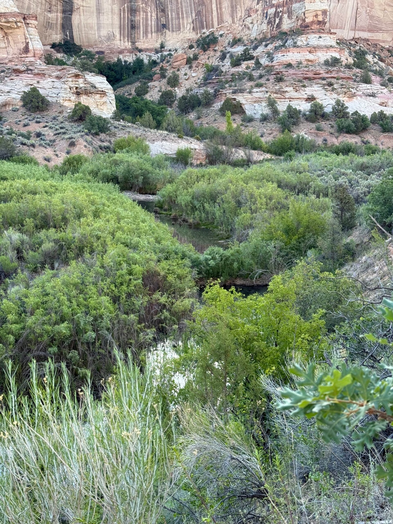
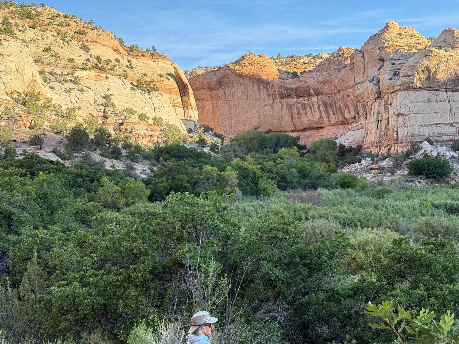
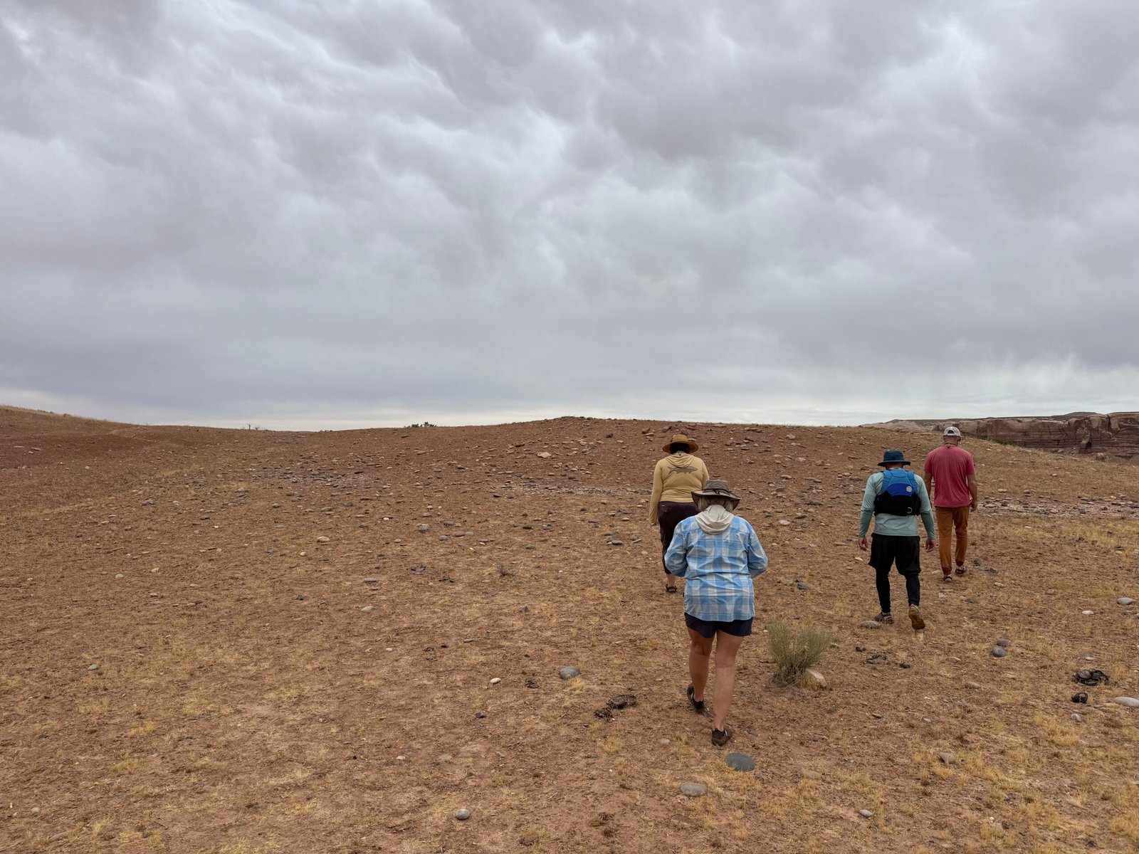
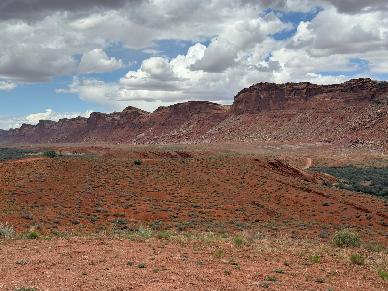
Arriving at Natural Bridges the next evening, the rangers were just beginning to set up. They were in the process of getting AstroFest up and going after a few years of largesse and had asked Sarah and the BEP for help. With three telescopes, we were ready for the night.
Carmen greeted someone from across the parking lot. I recognized that it was Matty! On our first day last year he had rolled into our camp area in his camper van to use the BEEC shower. An avid trail runner and rock climber, he had just traded a successful corporate life for a life helping others connect with the land. At about 6’4″, built like a lumberjack, with rasta hair and pink toenails, he is a commanding presence. Coming across the parking lot he saw us and came over. “You are…Jeff, right? And you are Pat?” Wow, we had only met briefly that one day last year! We talked for a bit and then I asked him, “How do you know Carmen?”
“Who doesn’t know Carmen?” he answered matter-of-factly.
On a scale of 1 to 10 for dark skies, Antartica is a 1, the darkest sky on our planet. Natural Bridges is a 2, and this was becoming apparent as the sun glow receded. While it was getting dark, a little poetry was read, and there was some Q&A discussion on the night sky with the group. Matty asked Sarah how many stars were in a galaxy? “Billions.” And how many galaxies there were? “Billions.”
Unlike Chesterton’s logician, Matty was happy to just get his head into the heavens.
And then, just before the small crowd was released to look through the telescopes, Sarah gave a “constellation walk.” With her mega-laser pointer that literally seemed to reach the very stars, she used the entire universe as her planetarium, and it was amazing. I loved it, and accused her of vaporizing at least a dozen stars with that laser. But hey, there are billions and billions… Know who said that?
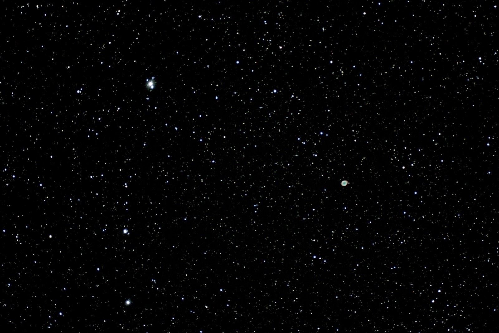
With a good polar alignment, the “little” Celestron was pretty happy finding objects and the smudges were quite a bit more distinct than last night. Probably the best find was the Ring Nebula. Like a ghost, to look at it directly through the eyepiece was to make it disappear. One had to look around it and use peripheral vision. Doing this would make it jump out and you could hear people gasp as they found it.
One ranger had their telescope on Jupiter. Matty asked, “How far away is Jupiter?”
“4.9 Astronomical Units,” the ranger replied. Yeah, I thought, that answer’s not gonna fly….
“What’s an Astronomical Unit?” Matty responded immediately…
The night sky is now crawling with satellites, an increase from around 4,500 in 1984 to over 13,000 satellites today. So much has changed in 40 years! With SpaceX recently garnering approval from the FAA to launch over 1,000,000, what will it be like in another 40?
We rolled back into the BEEC around 1am and were able to get about three hours sleep before heading east and home! We decided to push pretty hard and see if we could make it in two nights.
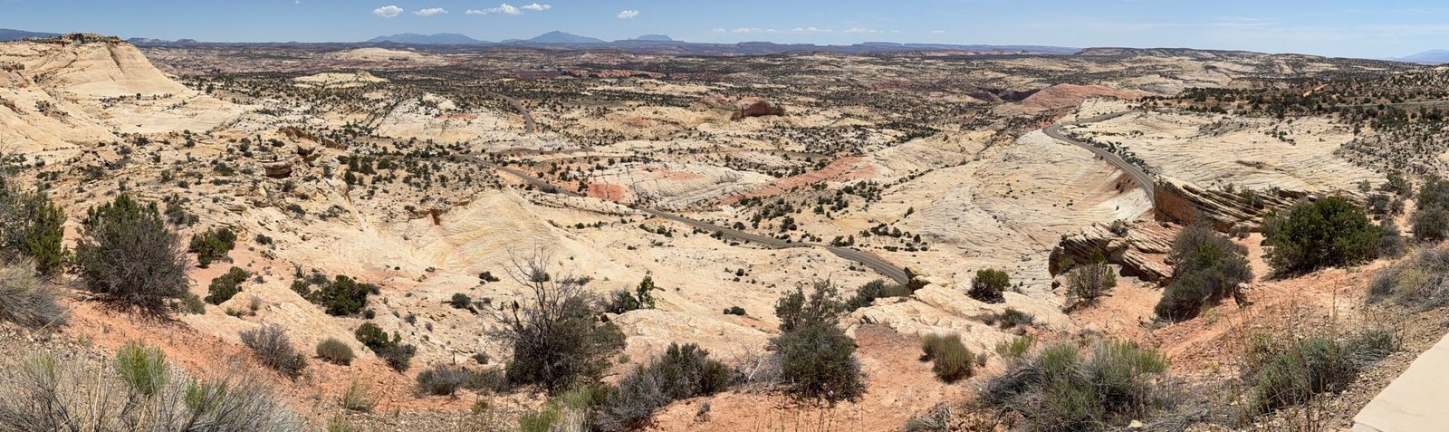
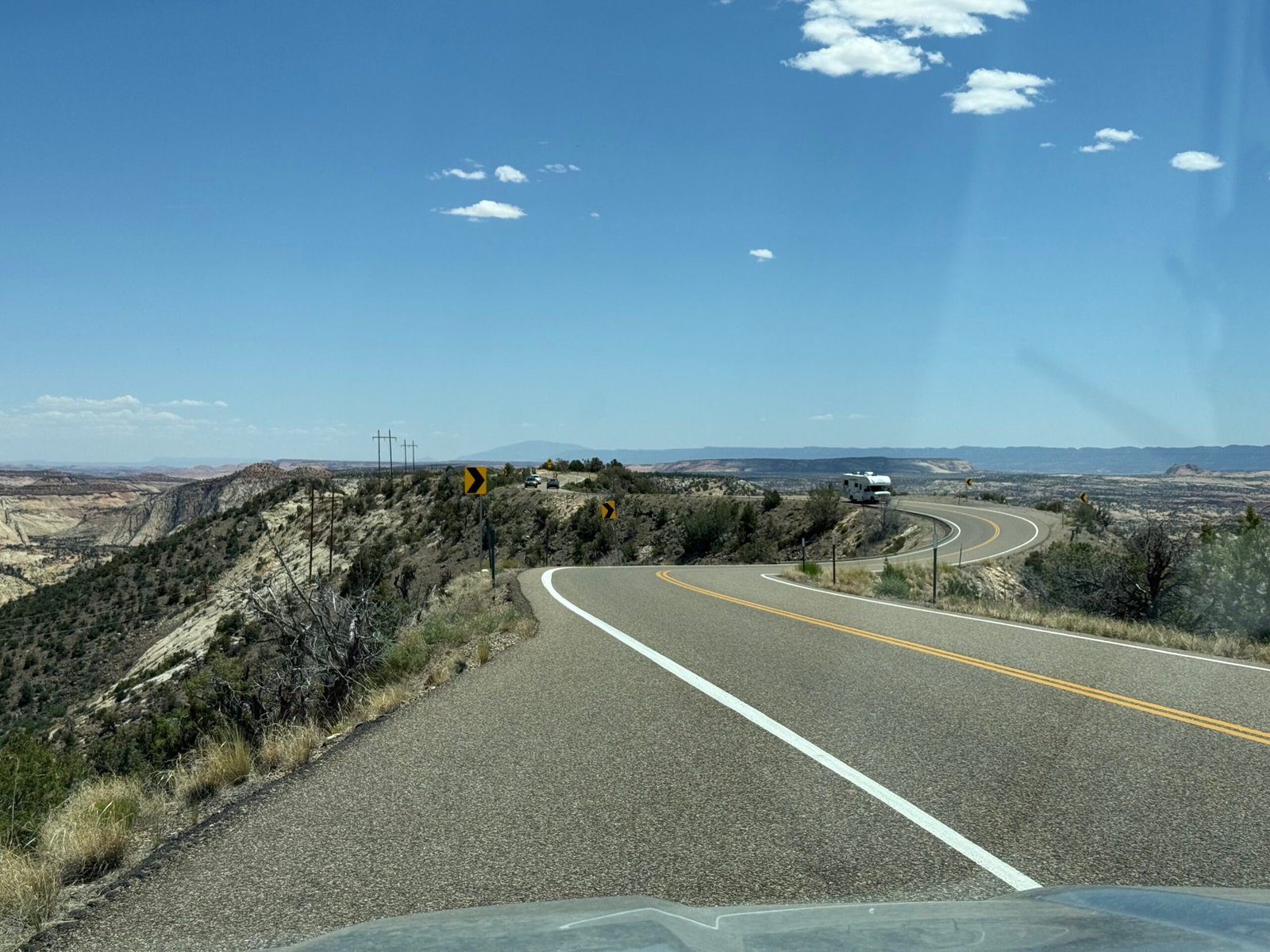
Picking up US highway 160, we followed it east into the sunrise and across Colorado. Such a beautiful drive! And the only time I’ve ever used the spare gas can — I hadn’t planned on climbing to nearly 11,000 feet at Wolf Pass on the way to Alamosa.
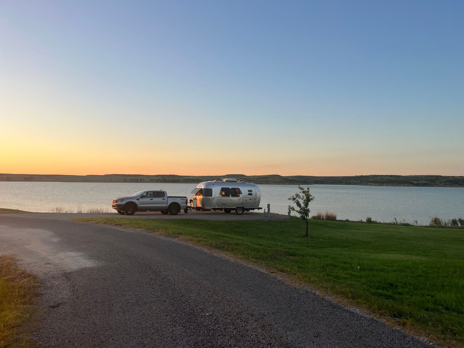
Crossing I-25, we angled northeast up through Rocky Ford, Kit Carson, and Cheyenne Wells before reaching I-70 at Oakley, Kansas. A Hail Mary of a day, we wrapped up 750 miles with a sweet spot on Wilson Lake. I had even driven by the Sternberg Museum in Hays without stopping, and that was hard to do! We had decided to take the fastest route, even willing to pay the bogus Kansas turnpike toll if it helped. And actually, up until this point, the driving was pretty lovely.
Upon reaching Topeka the next day, things got hard. They were adding lanes to I-70 and there was a concrete barrier literally within 6 inches of the white line on the left. And the right-hand lane was straddling the rumble strip and up against the guard rail, claiming the battered emergency lane. It was tough to stay right, it was rough and I was concerned I’d blow a tire. But the left lane was intimidating. There were passenger cars not willing to squeeze into the “slot canyon” between the bouncy trucks and that concrete barrier on the left. And this went on for miles.
Timidity can be as dangerous as recklessness at times.
Getting through Kansas City, I’m down to 12 miles of fuel left. A sign showing conveniences indicates two gas stations. But after exiting into the big, busy intersection, new signage shows that they’re both left across the interstate, one is over a mile away? Nope, not in this traffic, it will be a half-an-hour of pain. I roll on through, hoping just to pop back on the interstate and find something further down the highway.
But we end up in a Walmart parking lot and it’s crowded. I swing around to their fuel pumps on the far side, but there are cars everywhere and it is tight. Seeing a way to do a “U” through the pumps, I pull in.
People are parked all over the place. In front of our truck, and along the edge of the parking area there is an old truck with a camper top, packed with lots of stuff. An older man, probably the truck owner, and a younger man are having a conversation.
I try my debit card at the Murphy pump. I’m presented with a list of 4 choices on what type of savings and tremendous deals I might want. I find “skip” and move onto the next screen, which is a big paragraph without any noticeable way to advance. Nothing on the 8 buttons to tell me what to do next. And it won’t give me my card. I hit cancel a few times on the keypad and get my card. I try it again but get the same result.
I hear a voice being raised and I see that the older man is getting louder. The other guy is still talking quietly.
The pump supports contactless payments so I grab my iPhone. I go through the same process but can’t advance, stuck at the big paragraph. I know if I cancel I’ll be kicked out, so I try enter. Again nothing happens. A notification on my phone indicates that a transaction of $0.17 occurred somewhere in the process.
Now the older guy is yelling at the other guy. He’s waving his arms and telling hime to “get the f— away!” over and over. I’m wondering why they just don’t walk away from each other.
I’m outta here, we’ll find gas somewhere else. As I begin to pull out I see that a police car is now in the parking lot and the officer is watching the two men. Working across the four lane to the short on-ramp, we hear sirens and see two more police cars en route. Probably got out of there just in time. Why couldn’t they just walk away from each other?
Merging back onto I-70, I’m looking for a more friendly exit. Apple Maps has inexplicably locked my location to the service road running parallel to I-70 on the north side and is desperately trying to get me to take the overpass and get back on the interstate like I should be! Technology can be exhausting.
I thought that when we got past the city center things would lighten up. But there is no city center, it’s just sprawl. The signs for each exit listing conveniences are all copies of the previous one. They all show the same brands of fuel, food, and accommodations. As we continue moving, I look up and to my right as the next exit ramps up to the big intersection at the overpass. Its two exit lanes are joined by two more, and I see a young man off to the side with his makeshift cardboard sign, trying to make eye contact with whoever might dare look his way. Another young man passes me on the left in a small car. One hand on the wheel, one hand holding his phone to his face, he’s probably doing 80.
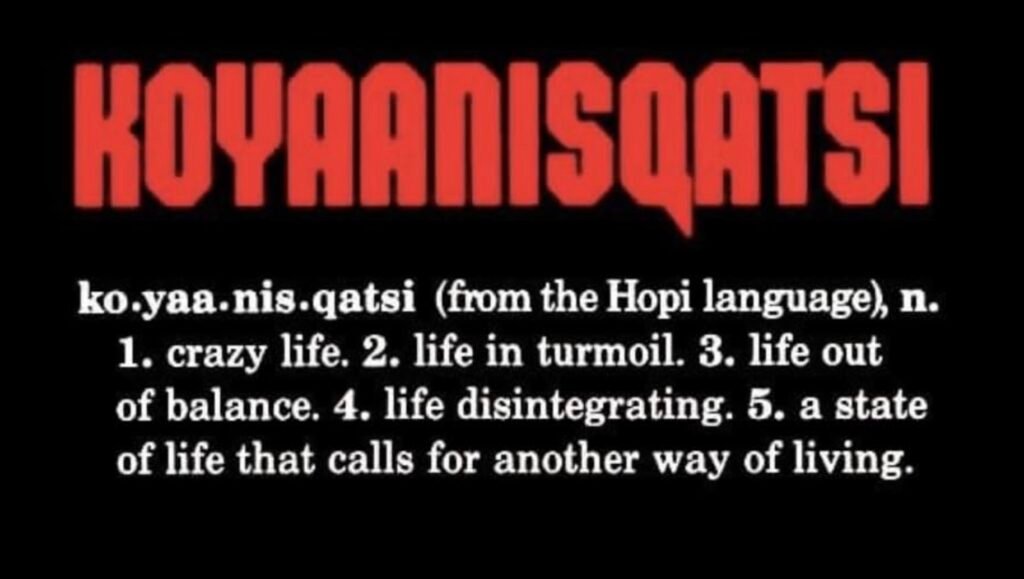
All I can think of is the documentary koyannisqatsi.
Living a life that requires a different way of living.
Pulling off at a Petro with two miles left in the tank, there was not a single vehicle in a dozen bays. We re-evaluated the route and found that for an extra 15 minutes, we could take secondary roads and avoid the interstate and the bogus turnpike toll. Screw the toll.
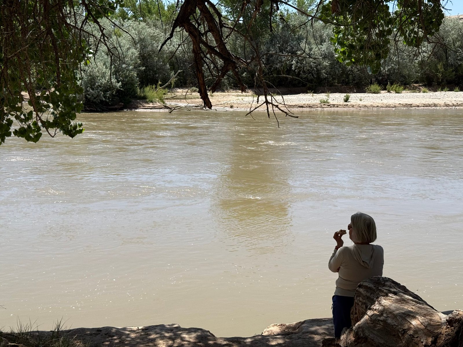
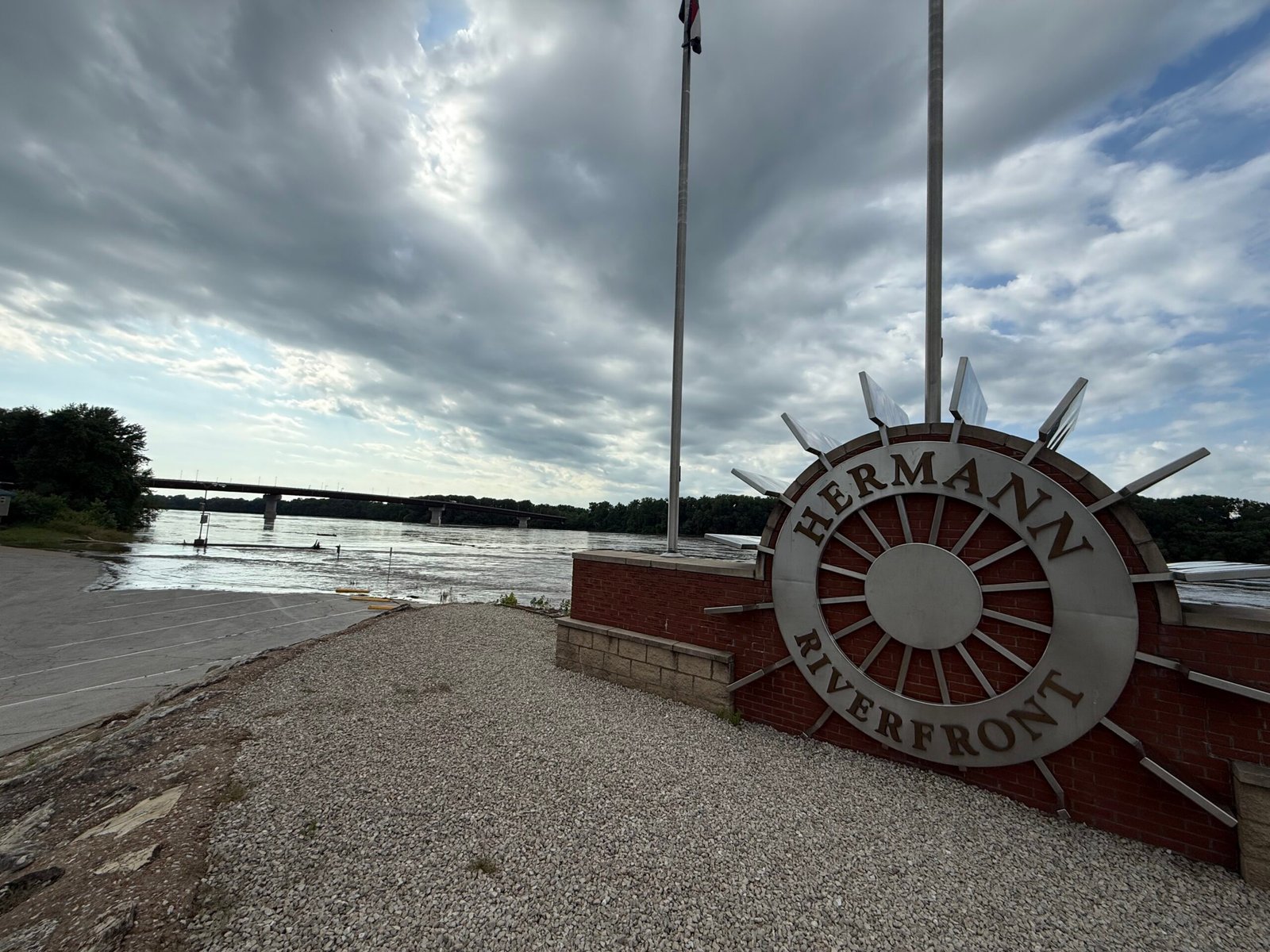
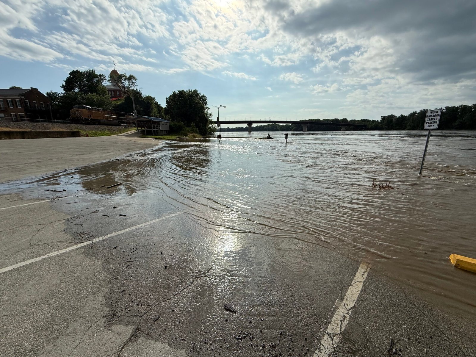
And the road was lovely all the way to Hermann, Missouri. An old German enclave, it sits on the banks of the Missouri River and has a nice feel to it. This is our second time here at the city park, and tonight we enjoyed a pleasant evening. The park had warned us we might need to move quickly if the water rose, but with the truck still attached, we were ready. Riverside, we watched an Amtrak train roll in and out. The Big Muddy was out of her banks, and I couldn’t believe the number of logs and branches drifting by.
In our many travels, we seem to be blessed with our timing. I practice what I call coyote mode, which is to bed down when people are out and about, and travel when they are not. It doesn’t always work, but we were able to get on the east side of St. Louis just before peak morning rush hour. The westbound into the city was already backed up a long way. Swinging over to I-24, there was once again lots of construction, but not as bad. Our timing was good through Nashville, reaching it just after lunch hour.
I parked Ooo Shiny in the driveway with a plan to give it a much needed wash and make her shiny again before putting her back in the barn. That night a strong thunderstorm rolled through and we listened to the lightning crack, the thunder roll, and the wind in the trees. Our first rain in over 50 days I think. A good soak before the big bath.
We’re home. Memories and emotions rapid-fire for the next few days. We pray for blessings to all of you that we met, until we meet again.