Author: 2mph

  • The Amazon Basin

    The Amazon Basin

    The beginning of  the series.

    Well, maybe I’m getting a little head of myself. Why are we even here, in the jungle, with the rain and humidity, the anacondas and piranhas and all the other scary things?

    Our year was to be a little different. We had plans this fall to do an Alaskan “uncruise” with friends in September, followed by a trek in Bhutan. But alas, the daughter had become with child! And the new addition is due to arrive between these adventures. So of course we did a little rearranging, and Ecuador seemed to be the right fit.

    Getting There

    I don’t want to spend much time on the logistics. In fact, the reason we have used Hobnail Trekking for both this trip and our amazing Peruvian Odyssey, is that they take care of practically all of the multitude of stressful things involved with international adventuring. At least once we arrive. We still had to get us and our stuff to Ecuador. We had a nice Zoom meeting with the Hobnail team that included our guides Christian and Alirio, and we met our one other companion in the group, Walter, coming from Massachusetts. With the only reasonable airline flights in and out of Quito being around midnight, the three of us booked an extra night both before and after the trip at Swissôtel Quito to make the journey easier. Swissôtel became our basecamp of sorts as we explored the country, and wow, what a five-star basecamp! But more on that later.

    For reasons that only American Airlines knows, our fight from Nashville went to Philly, and then to Miami, even though we were staring at a direct AA flight to Miami in the Nashville airport. It cost us a few hours, but probably saved us a couple of hundred bucks. The flight to Philly was good, and it was fun seeing all the Rocky, Rambo and Mr. T (“I pity the fool…”) memorabilia in the airport.

    But it was the flight from Philly to Miami that intrigued me. Our first time on a Boeing 787 Dreamliner! A wide-body nine seats across, it is made mostly of carbon-fiber composite. Using the composite (as opposed to aluminum) allowed for a non-traditional cabin. It is non-circular, giving passengers more shoulder room. And the windows are significantly larger, using electrochromic glass to make them dimmable, pretty cool.

    I was so glad I sprung for window seats!
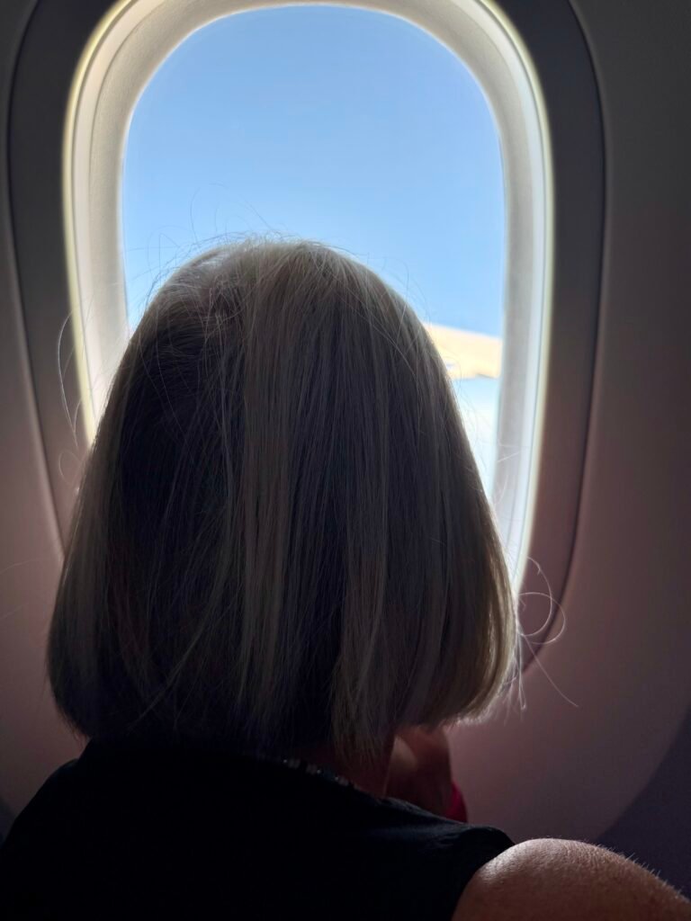
    Awww….

    Well, anyway, it was still a pretty nice ride. Great legroom and noticeably quieter than other airliners.

    The Miami airport was a zoo. It’s pretty much a linear strip mall and I wouldn’t be surprised if all arrivals and departures are algorithmically organized to have the most people possible transit from one end to the other for extended shopping opportunities! We were challenged twice by beeping autonomous wheelchairs, I’m not sure if they were asking if we wanted rides or we were just in their way. The future?

    Starving at this point, we stopped in at Shula’s Bar & Grill for a quick bite, and it was strange. We were required the scan the QR code on the table to order. The food came quickly and we again were required to use the QR code to pay online. We barely even saw the waitress, so a tip seemed inappropriate. And while the food was good, the two sandwich meals with no drinks cost us $65.87. Ouch. Again, the future?

    Did I mention that Argentina was playing little ol’ Cape Verde for the World Cup in Miami (and nearly lost)? The airport was a riot! Fun to be a part of it.

    Even with a late arrival in Quito, our driver Alex was at the ready and we arrived at the hotel somewhere around 2:45am Saturday morning.

    There was a party going on. A BIG party.

    Swissôtel has a mezzanine floor exclusively for parties. And we can attest that they keep it booked! Graduation parties, weddings, you name it. Our second floor room was beneath the mezzanine area, but our room was quiet. The extended end of a long day.

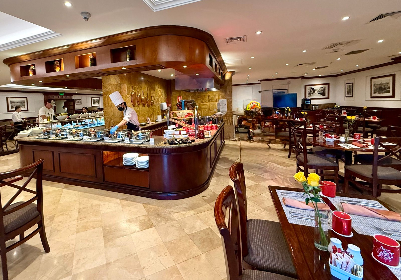
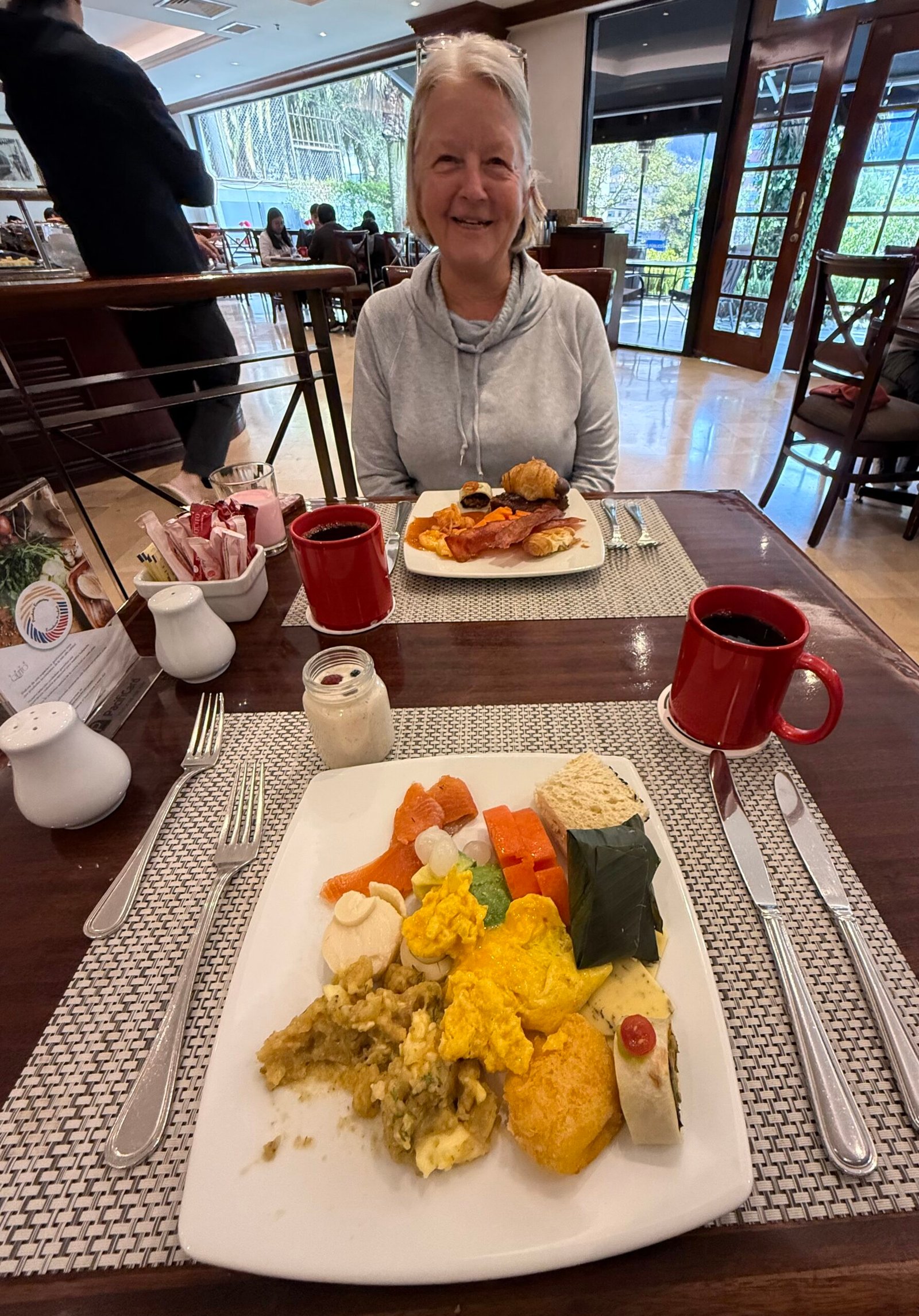
    Sleeping in, we were then treated to a breakfast buffet that recurred each time we stayed at Swissôtel. It was massive, fresh, and widely-varied. I cannot think of a better one. A great way to start the day!
    With the day free to explore, I was feeling a little wonky (can you be jet-lagged in the same time zone?), so we decided not to venture too far before our evening meeting with our guide, Alirio. Walter had already booked his own tour for Old Town Quito, so we instead took an afternoon walk down to the botanical garden near the city center.

    Saturdays are family party days, with Sundays being reserved for church, and of course, soccer. Baños are hard to come by in the big city, and by the time we arrived at the park, we both needed an expedient solution! Fortunately the park had facilities. But I had forgotten that, as in Peru, Belize, and Costa Rica, one must pay a small penance to use them. Easily understood. 15¢ U.S. for men, 25¢ for women, paper provided.

    Unfortunately, all I had was a $10 bill! The attendant hesitated briefly, quickly surveyed his money bag and then dutifully counted out my change. Quite a selection of Sacajawea dollars, some J.F.K.’s, and a few Jefferson’s, with several Ecuadorian leaders rounding out my $9.60 in change.

    And then the beauty of Hobnail’s greeting gift became apparent. Coin purses! We used them for the entire trip and it took a while to winnow down my treasure from this one exchange.

    Hard coin is the currency of choice here. Especially the Sacajawea dollars because they outlast folding money. We used them everywhere for small purchases.

    One thing we noticed right away is the influence of catholicism, with an emphasis on the Virgin Mary and Christ on the cross. On our way into town from the airport, Alex took us up an incredibly winding road into the city. Apparently when the Spanish conquistadors arrived, they liked what they saw and spent an entire year building the road that would eventually allow them to bring their weapons and conquer Quito.

    Can you imagine what it was like watching this advance on your city, knowing what was coming?

    To the Arajuno River

    After a fine dinner and discussion on the upcoming glamping experience, we followed up with a fabulous breakfast and departure from the hotel around 8:00am.
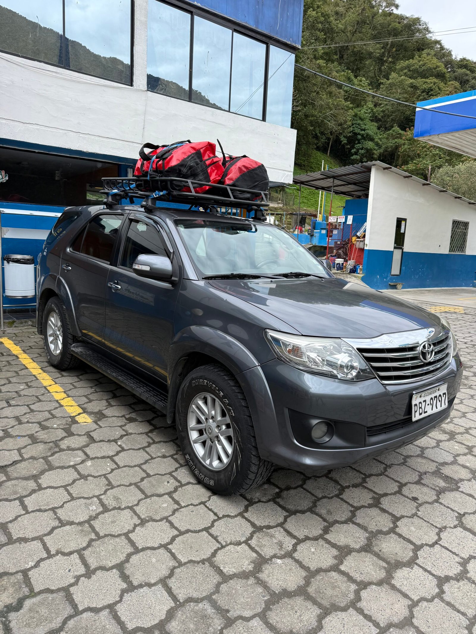
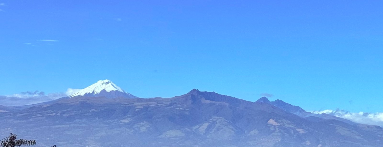
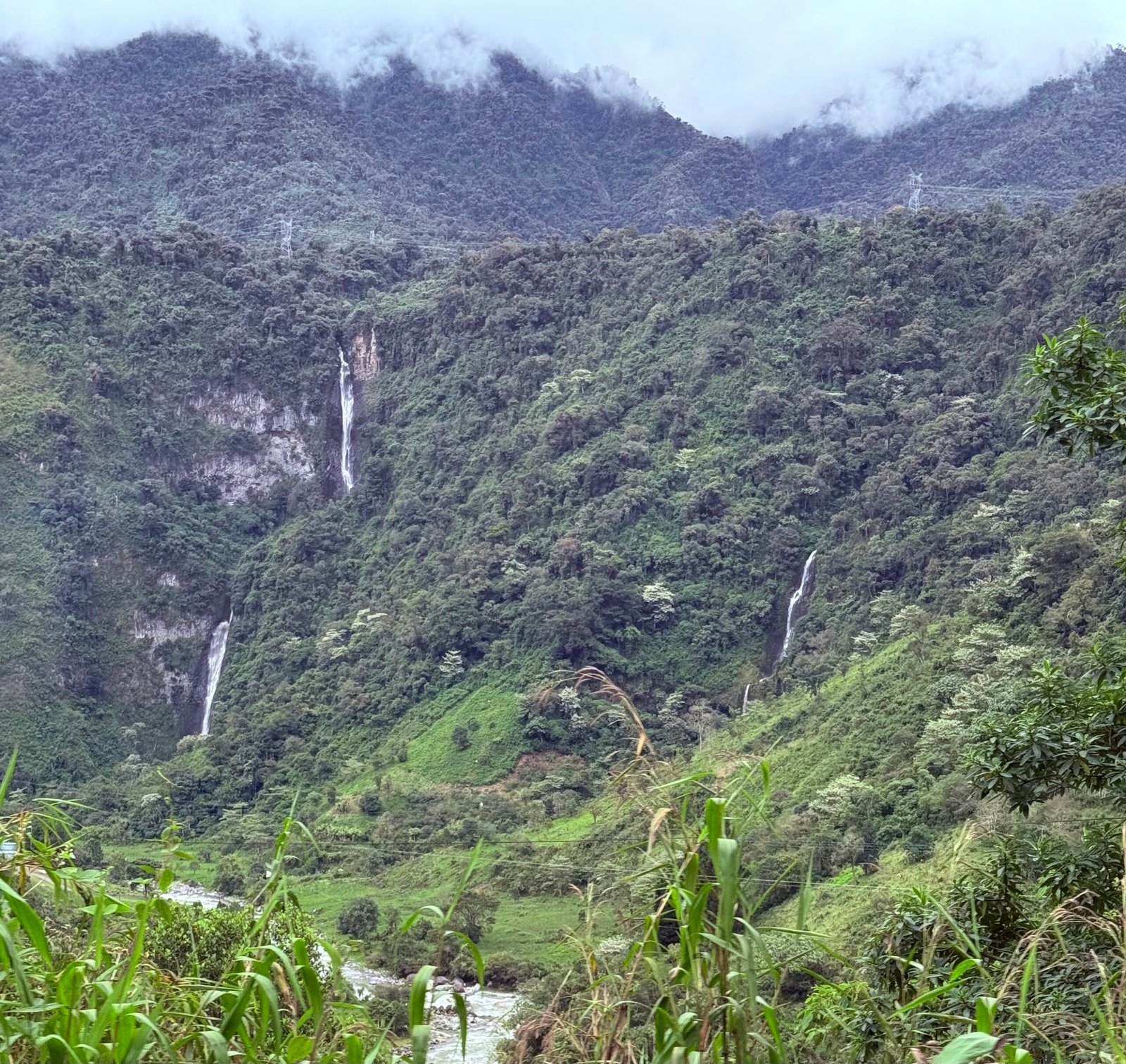
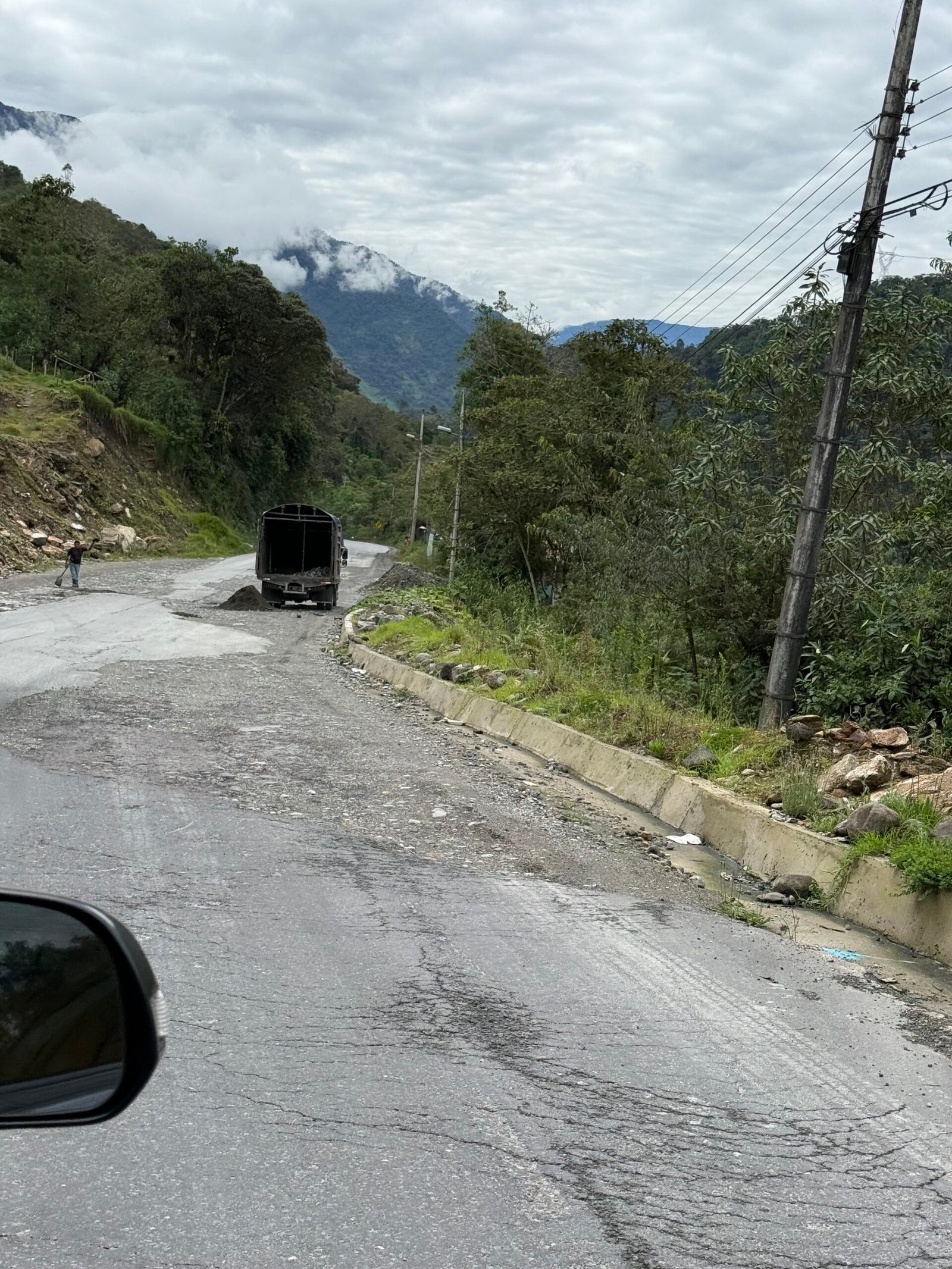
    Since there were only four of us, Alirio was using his Toyota Fortuner (a sister to the 4Runner) for the trip. With three inflatable boats on top, and all the gear in the back, we headed out for a four-hour drive into the Amazon. Climbing to 14,000 feet, we were able to spot the volcano Cotopaxi in the distance. Once across the divide, we descended quickly, seeing dozens of waterfalls and navigating around nearly as many slides and washouts on the road going down. Along the way, the locals were using pack horses to bring milk down the steep terrain from their farms in order to set the big milk barrels down by the road for pickup.
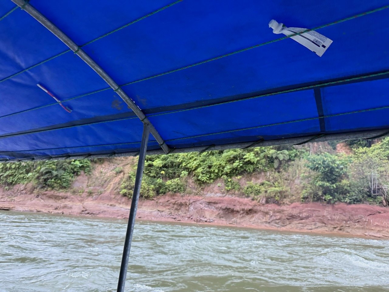
    After lunch at a street cafe in Tena, we found our launch point on the Sindy river and we began our Amazon adventure.
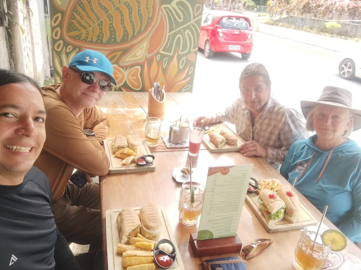
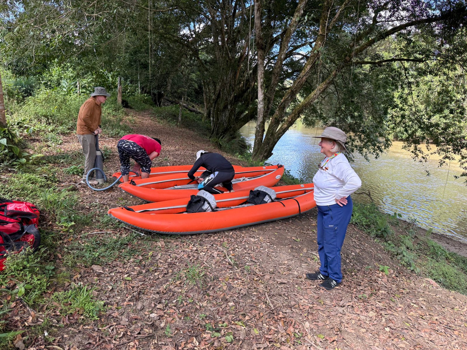
    A long day! After dropping from 14,000 feet to 2,000 we are in the Amazon. Already the experience is changing.

    River People

    During our Peruvian Odyssey, we quickly learned that many of the people spoke Quechua, an ancient Andean language that predates the Inca. Here in Ecuador, we noticed identical words being used, such as pachamama (earth mother) and pachapapa (earth father). In Peru, tambo, meaning an inn or a place of rest, was typically attached to the end of a village name. Here, it preceded the village name. When I asked Alirio about it, he mentioned that many of the indigenous peoples are Kichwa, and it seems pretty obvious that they are a related people that now have different dialects and mannerisms. Alirio said there are two different groups of Kichwa, one is a highland group that is a little reticent around strangers. The other group consists of these river people, who are a bit more open.

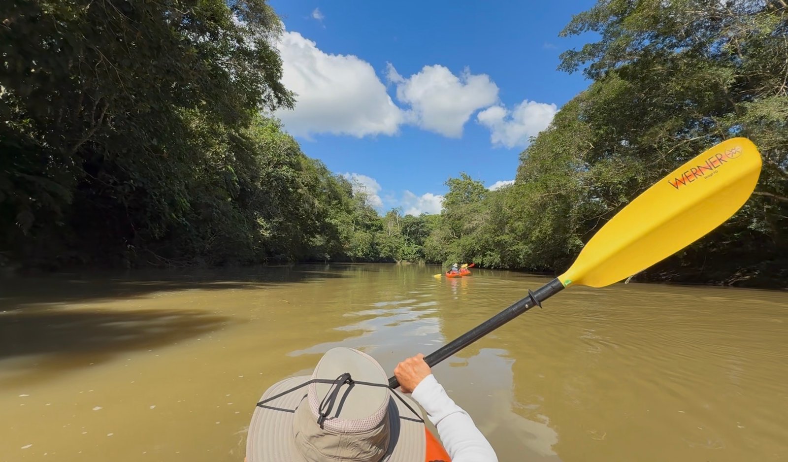
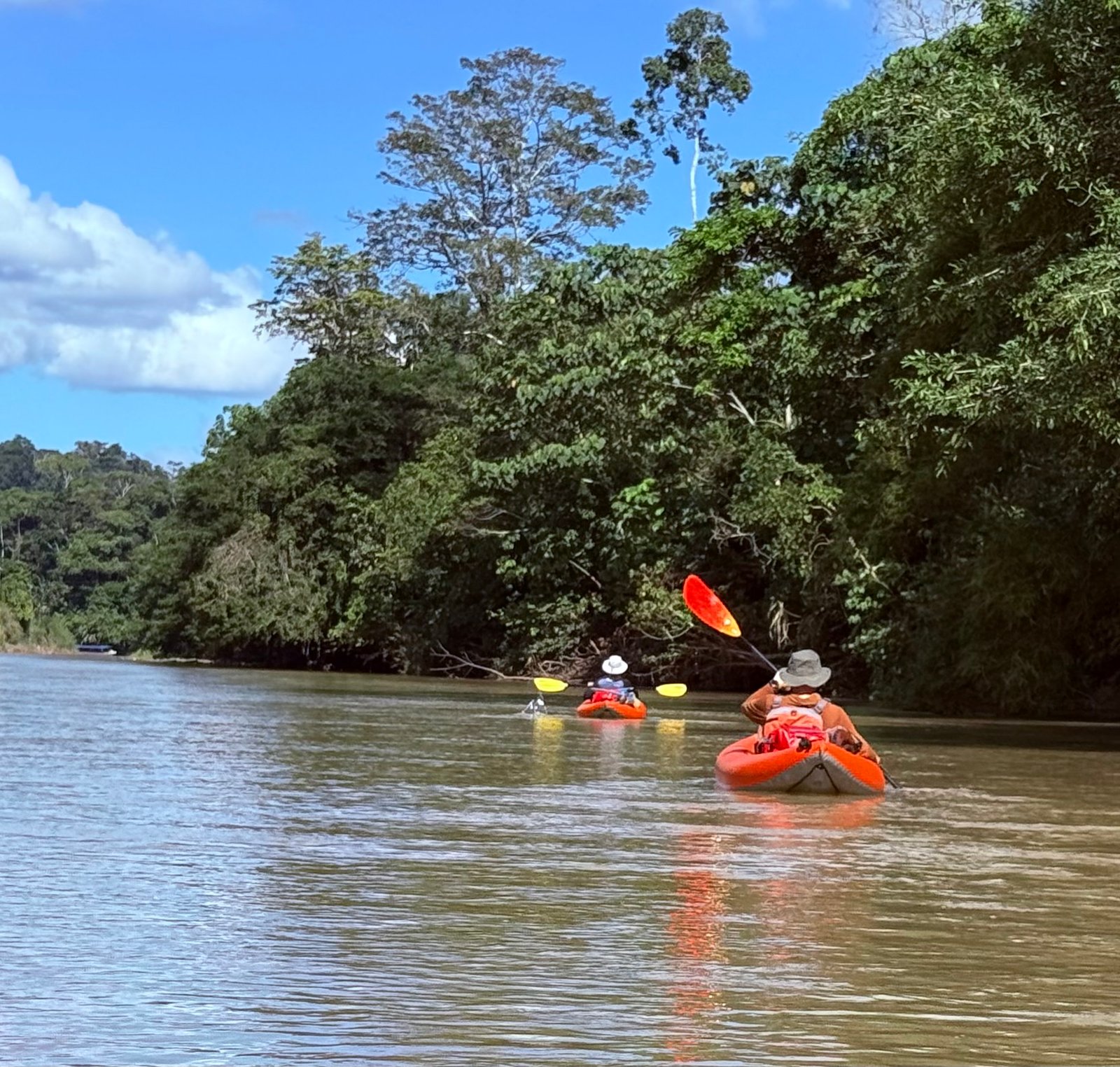
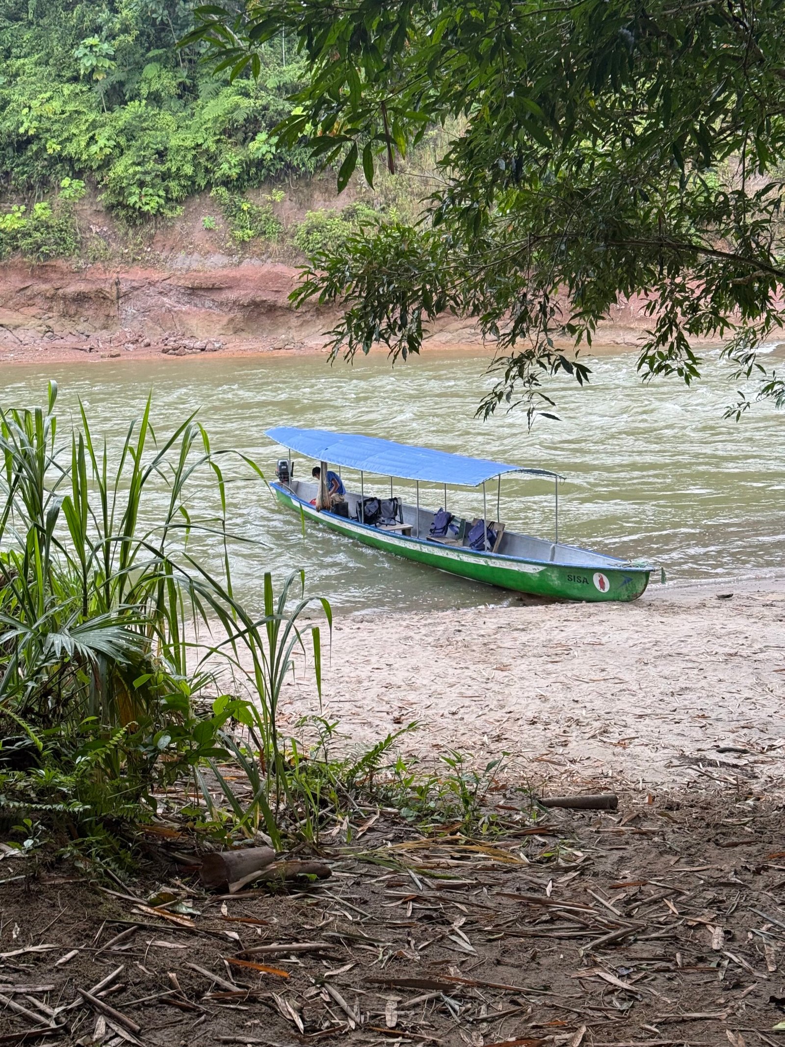
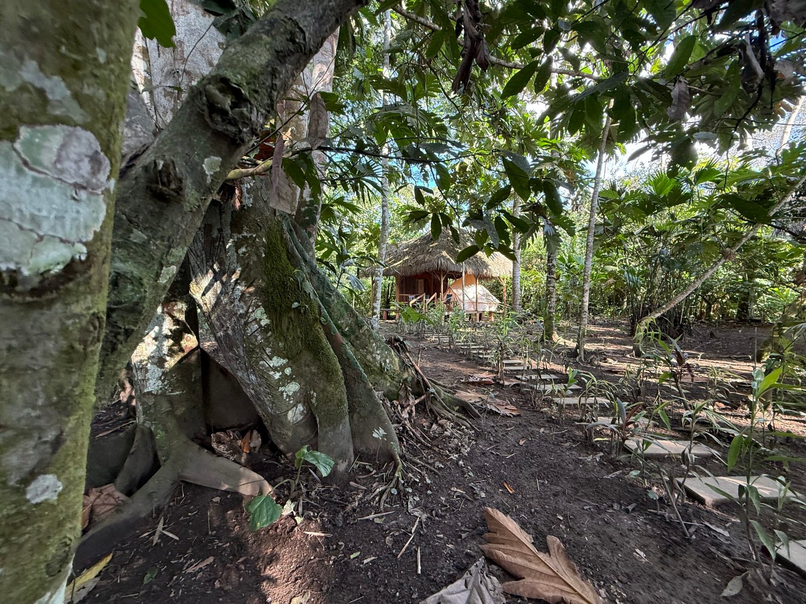
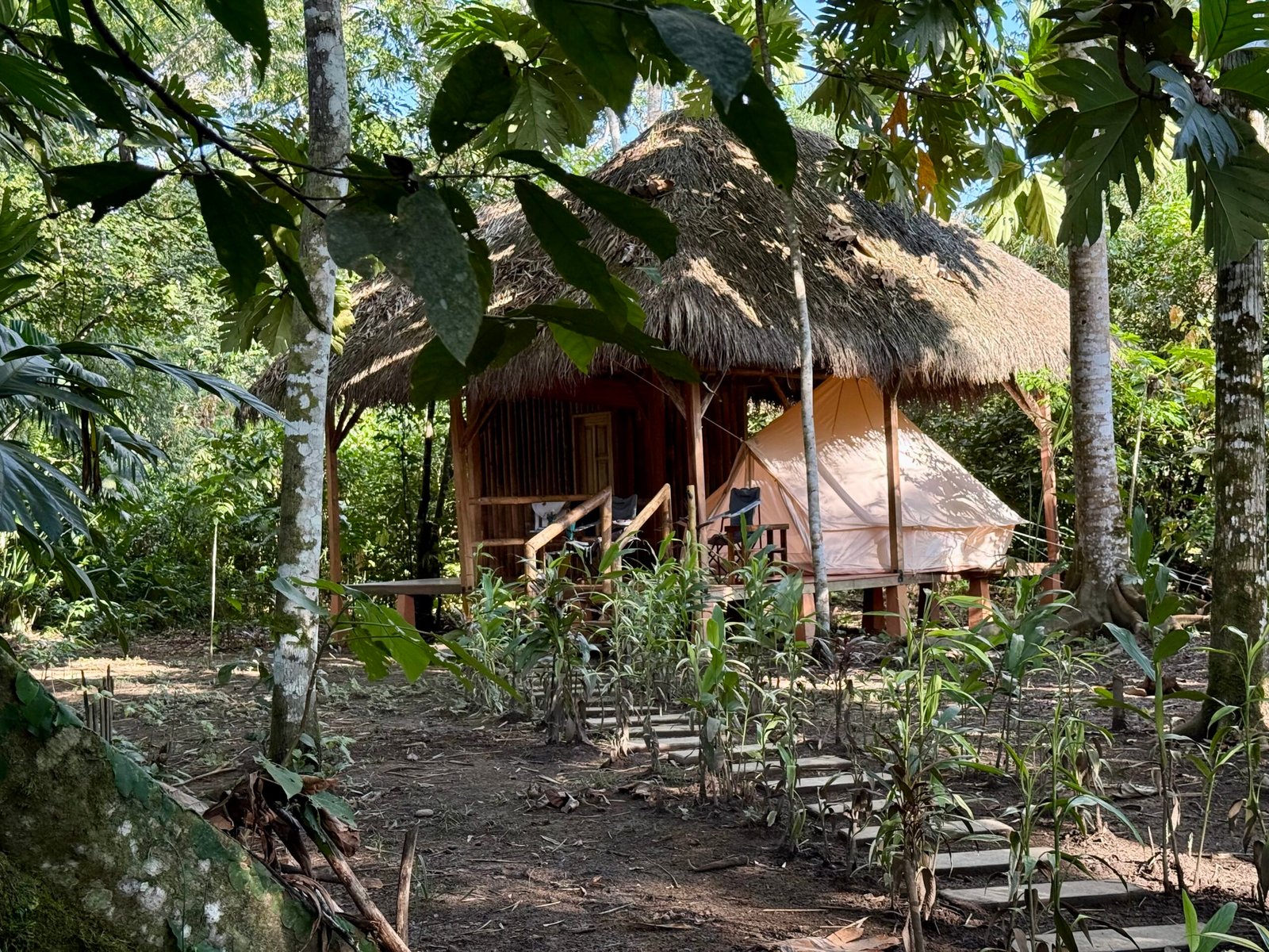
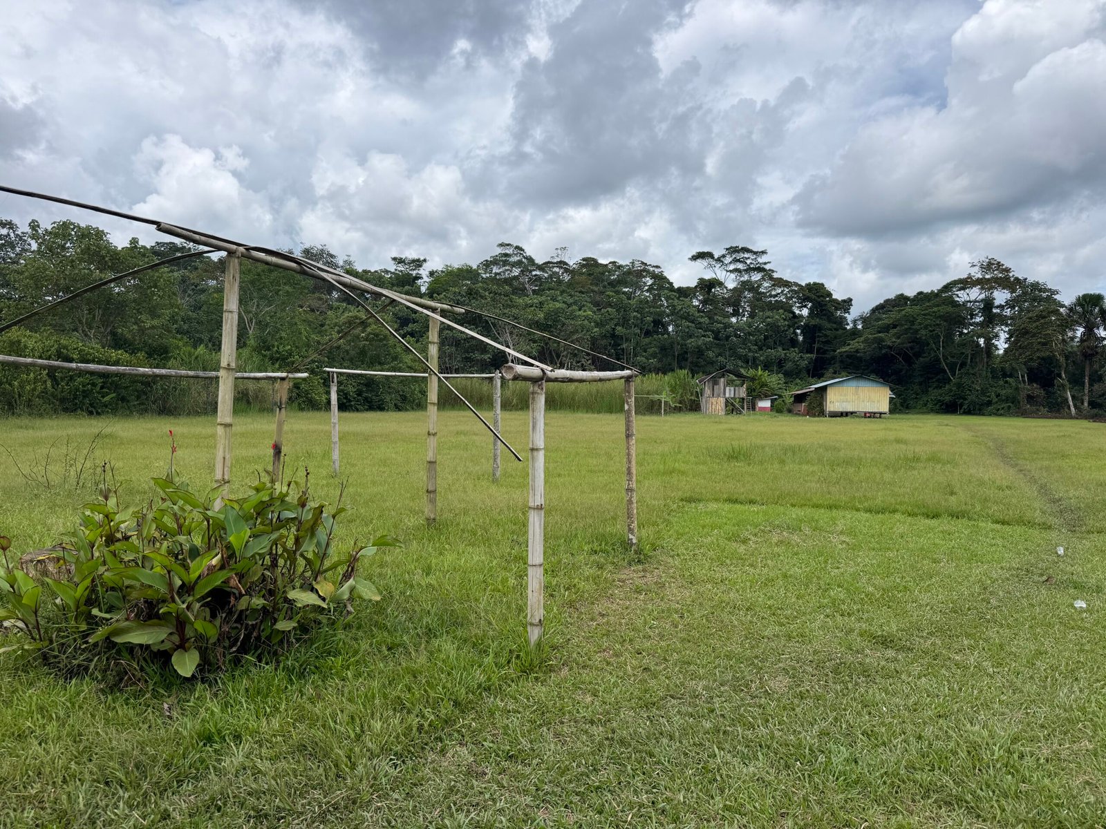
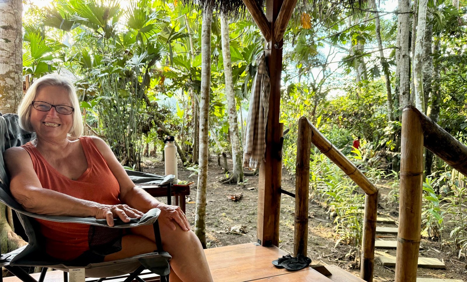
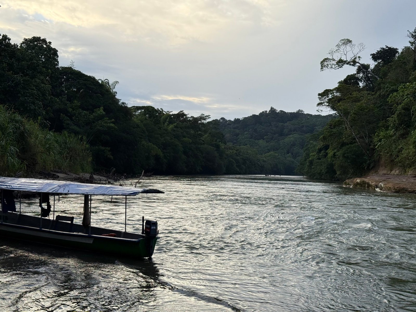
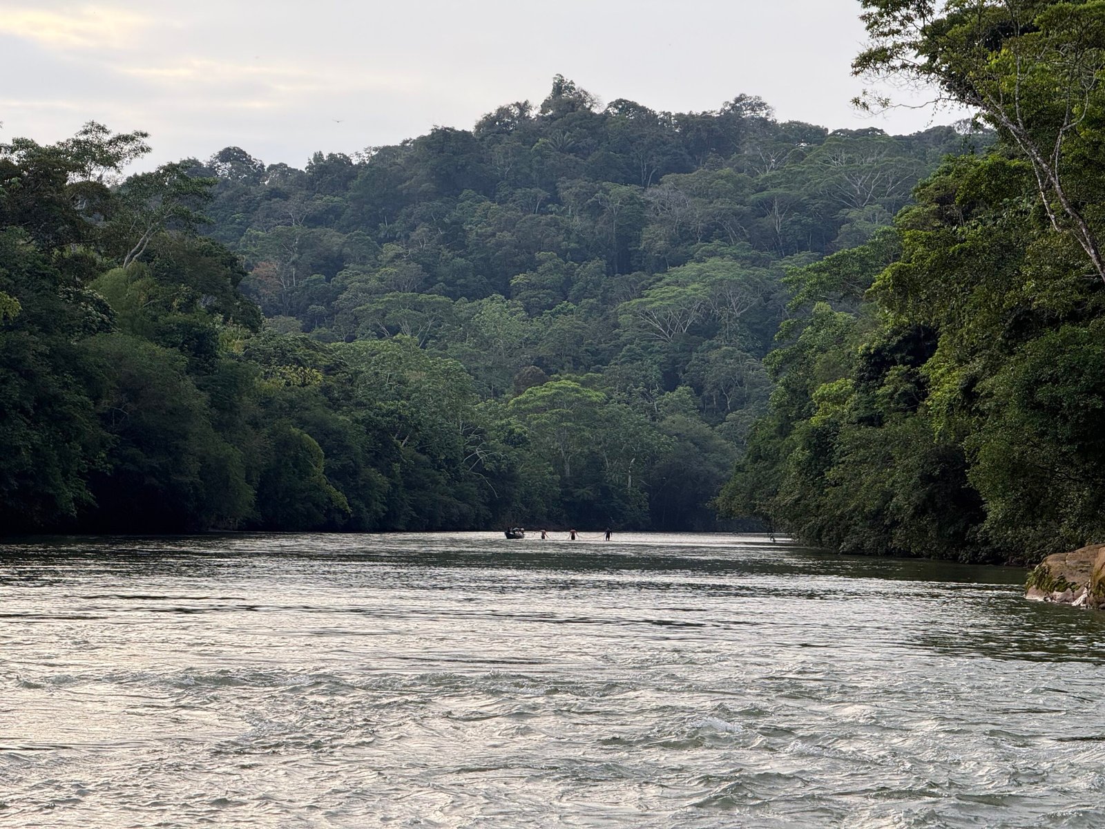
    After our 10-mile paddle we arrived at Glamping Arajuno. While there are several luxury resorts up and down the river, we were delighted to find that our camp had only been established a year or so ago, accommodates only 8 guests, and was owned and operated by members of the Santa Barbara community. A family endeavor, each evening after we had been taken care of, the family would troop down to the river to motor across to their home.
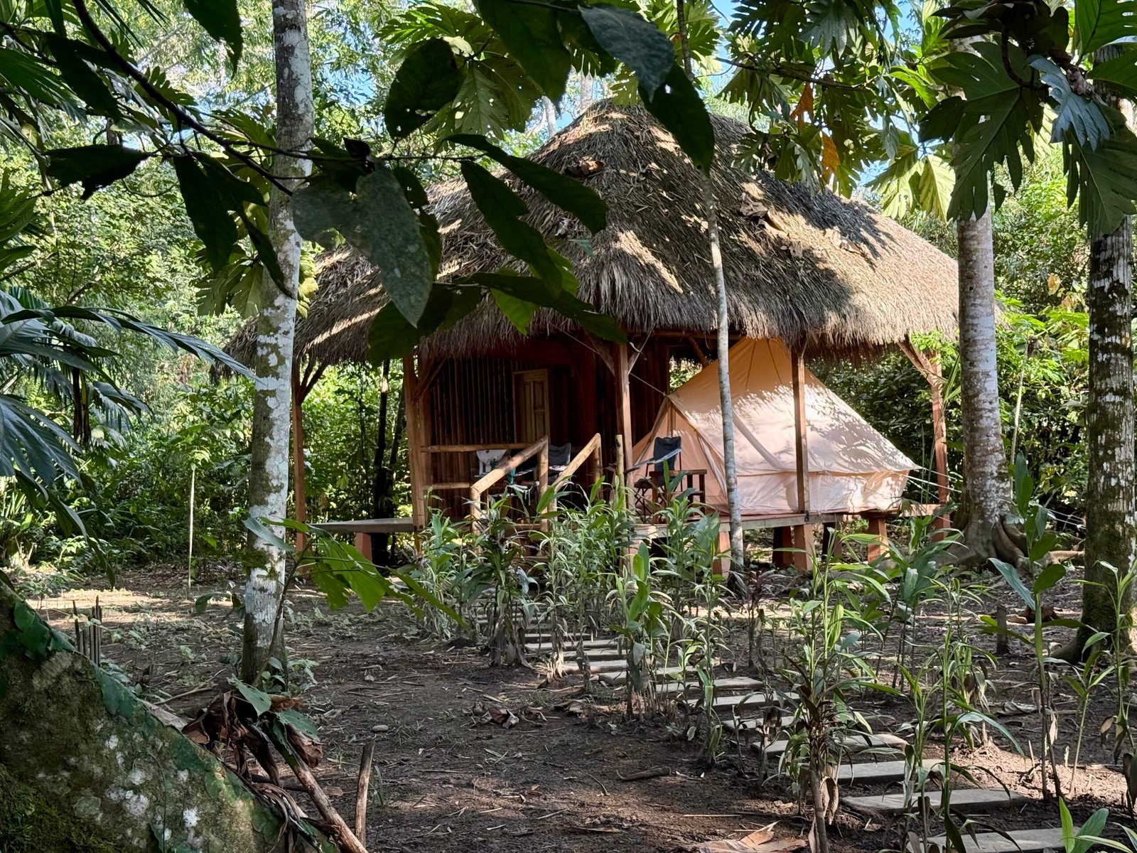
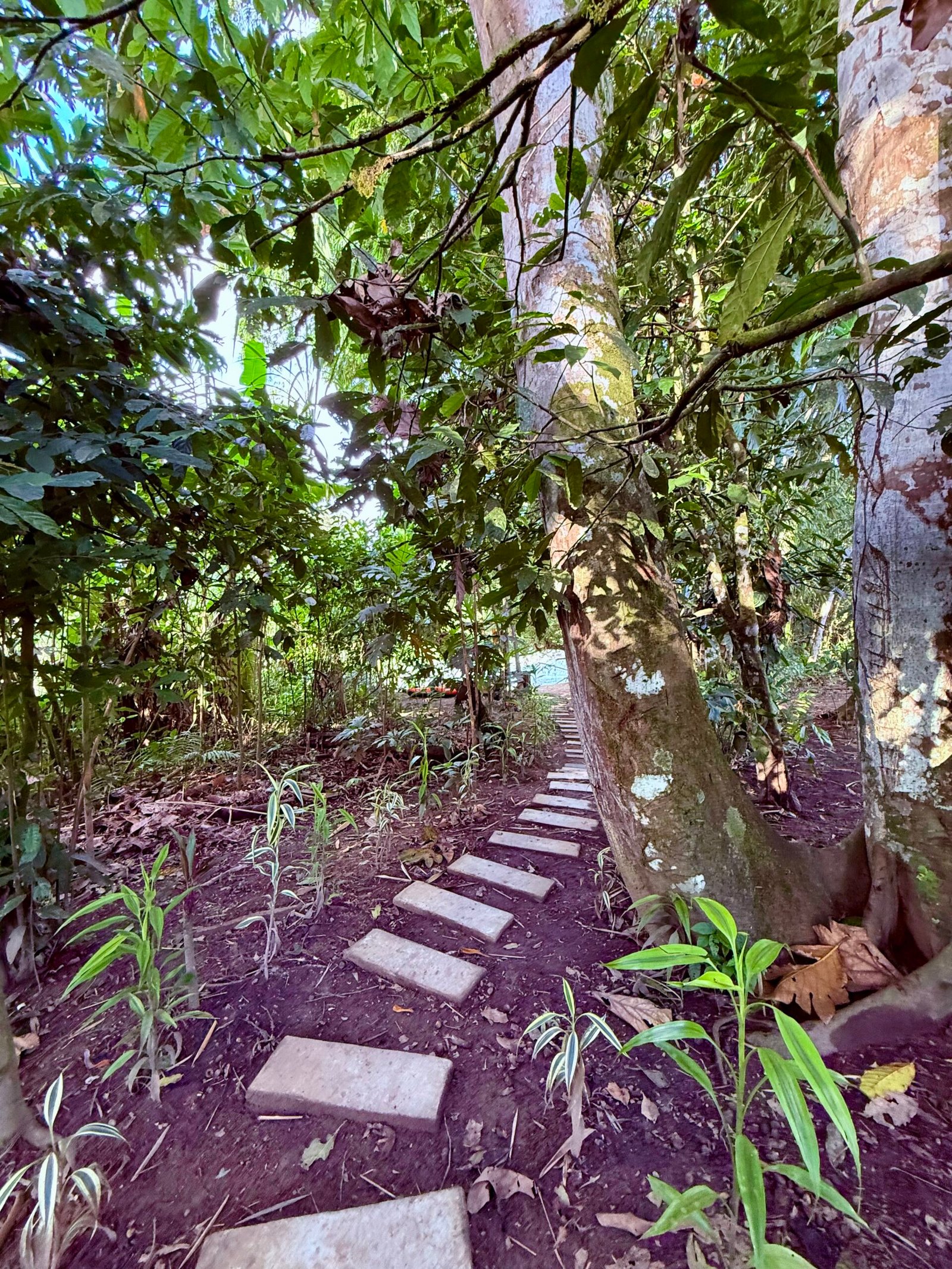
    Tonight, we were to meet a village shaman, but with a recent passing of a village elder, we weren’t sure how it would go. The entire community would spend three days in reflection before the burial, and of course the elders may be needed.

    The head of our host family, Jimmy, wandered up the river bank to try and talk with me. Since I know very little Spanish and he very little English, it was awkward. I had a tad of success with my phone translator, but I was embarrassed with the idea of attempting to understand a culture without understanding the language.

    We have since enrolled in a conversational Spanish course. I want to be able to talk with people like Jimmy.

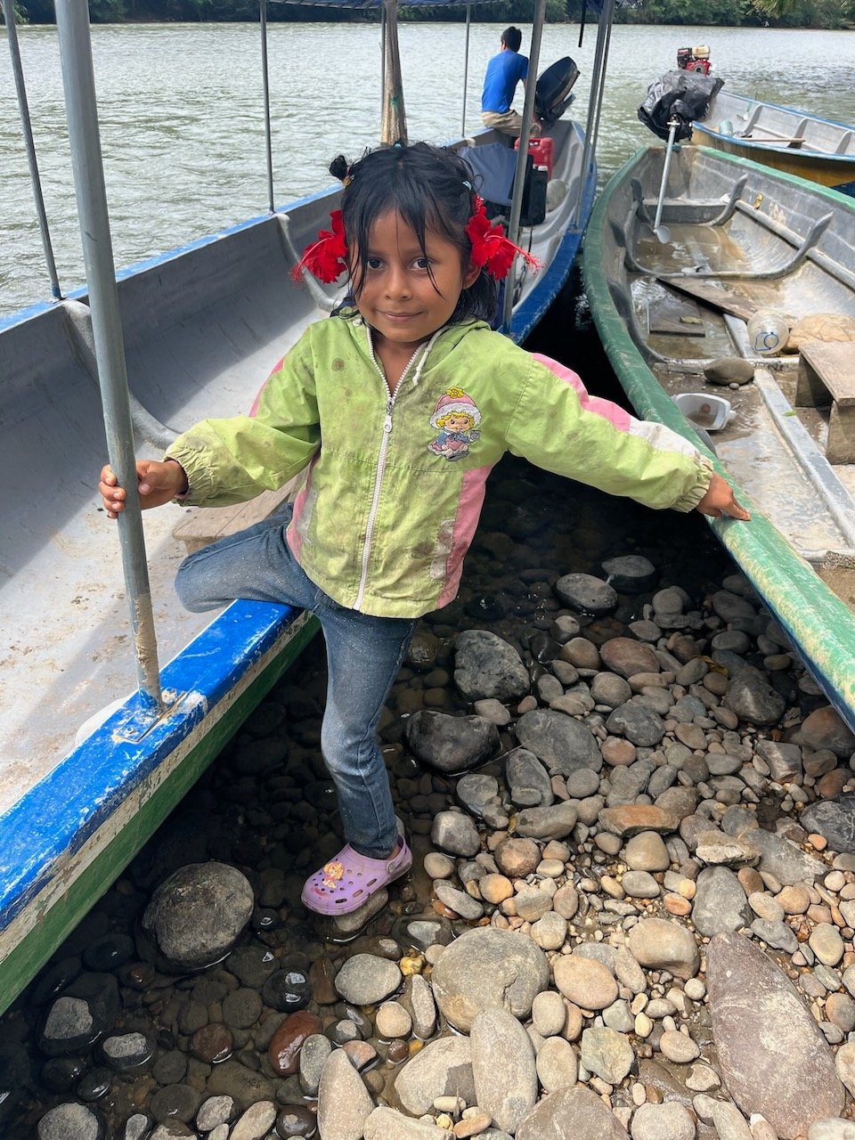
    A nice dinner was prepared for us by Jimmy’s wife and daughter, while the little ones were always out and about. We were served in an open-air dining room, complete with a small bar, Starlink internet, and a power strip for charging our devices…up until the point they went home and shut everything down to conserve power.
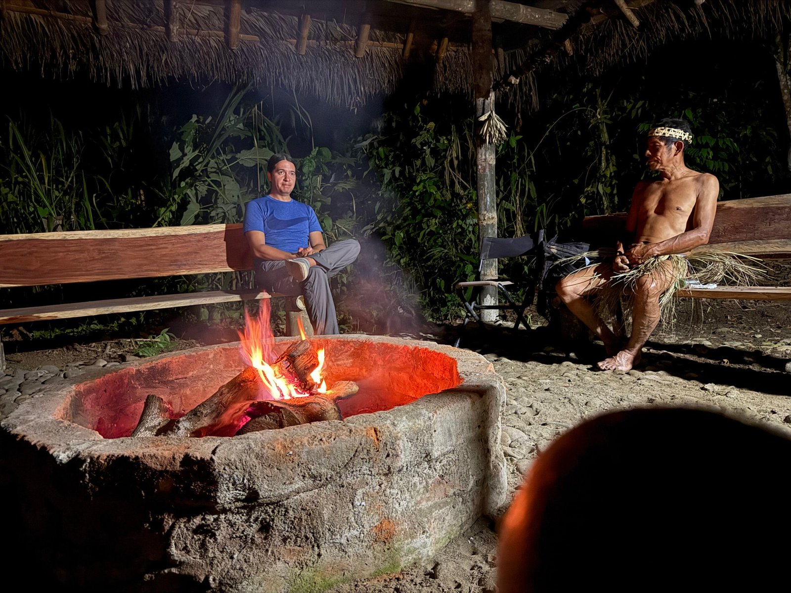
    After dinner, we learned that the shaman would be coming to visit so the four of us and Jimmy gathered around the fire.

    Caesar is a third-generation shaman and a leader in the village. He came up from the river in shorts and a T-shirt, but at the fire he changed into traditional Kichwa dress of a grass skirt and woven headband. At fifty years old, his body looked more like thirty, lean and muscular and not an ounce of fat. Speaking through Alirio, he wanted to know if any of us would like a “cleansing,” something he routinely provided for the community. The process typically taking about four or five minutes. If so, he would take ayahuasca to prepare.
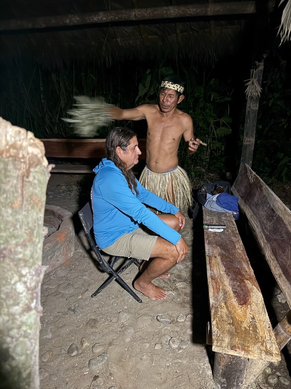
    Of us three, I was the only volunteer. But I didn’t want him to take his medicine for me alone. Not a worry, Caesar would take the ayahuasca, something he has apparently been doing since he was four years old. He makes his own, and grows his own tobacco for these spiritual activities. He had me taste the ayahuasca, seemingly as a way to validate his credentials. I found it both bitter and a bit fermented. It is made by combining and boiling two different plants. One contains DMT, the active component, the other acts as a stabilizer to significantly extend the length of the experience.

    Walter looked at me and said, “You are very brave!” I replied, “I’m not sure ‘brave’ is the correct word for it.”

    I took a seat and Caesar began to sing, whistle, blow tobacco smoke and wave a particular plant about my head. Occasionally it felt like he would attempt to “extract” whatever might need to be cleansed from the top of my head, using his lips. For my part, I remained silent and worked to keep my mind still.

    After about five minutes, and apparently a little bewildered, he stopped and started chatting with Alirio. He wanted to know if I had shaman training! I responded with a “no,” and he said he was having trouble getting “through.”

    Patricia immediately knew what the trouble was (I can envision her nodding her head). My thick skull was preventing any attempt at penetration. Determined, Caesar gave it another round. After he concluded he told me that he had given me an extra measure of his power, and it would last through the following day. And that I should not get my head cold during this time or I would lose the benefit.

    Shouldn’t be a problem in the Amazon, right? Oh yeah, we only have cold showers!

    I thanked Caesar for the cleansing and our experience was concluded. A family member took him back across the river to his home.

    What a treat! And an honor for the community to share that with us. The next day I asked Alirio if there may be other translation of the word “training.” He thought for a moment and said it could be more like that I had a strong spirit. Maybe so, or it could be my calcified, ossified skull…

    Fascinating.

    I would like to make the point that these spiritual leaders are not dogmatic about it. They provide emotional and spiritual guidance, and of course traditional medicine. But they certainly will send someone to a medical doctor if necessary. Their role is to take care of their flock, and they take it seriously.

    Although I really needed to wash my hair, I persevered the following day. You wouldn’t go to the doctor and then not take the prescription, would you?

    Our first day in the Amazon. What will tomorrow bring?

    A Walk in the Woods

    Today, our plans were to check out a parrot clay lick, take a walk in the rainforest, and then visit the Santa Barbara community for lunch.

    We’re beginning to realize that Hollywood has, surprise, surprise, somewhat misrepresented the Amazon in film. To date, the only terrors have been the no-see-ums. We used DEET wipes on our first day as a precaution, but haven’t really needed to worry. Now, it could be that we are on the western edge of the Amazon Basin, it certainly is vast, or it could be the season, but it has all been quite pleasant and our sleeping area was well-screened.

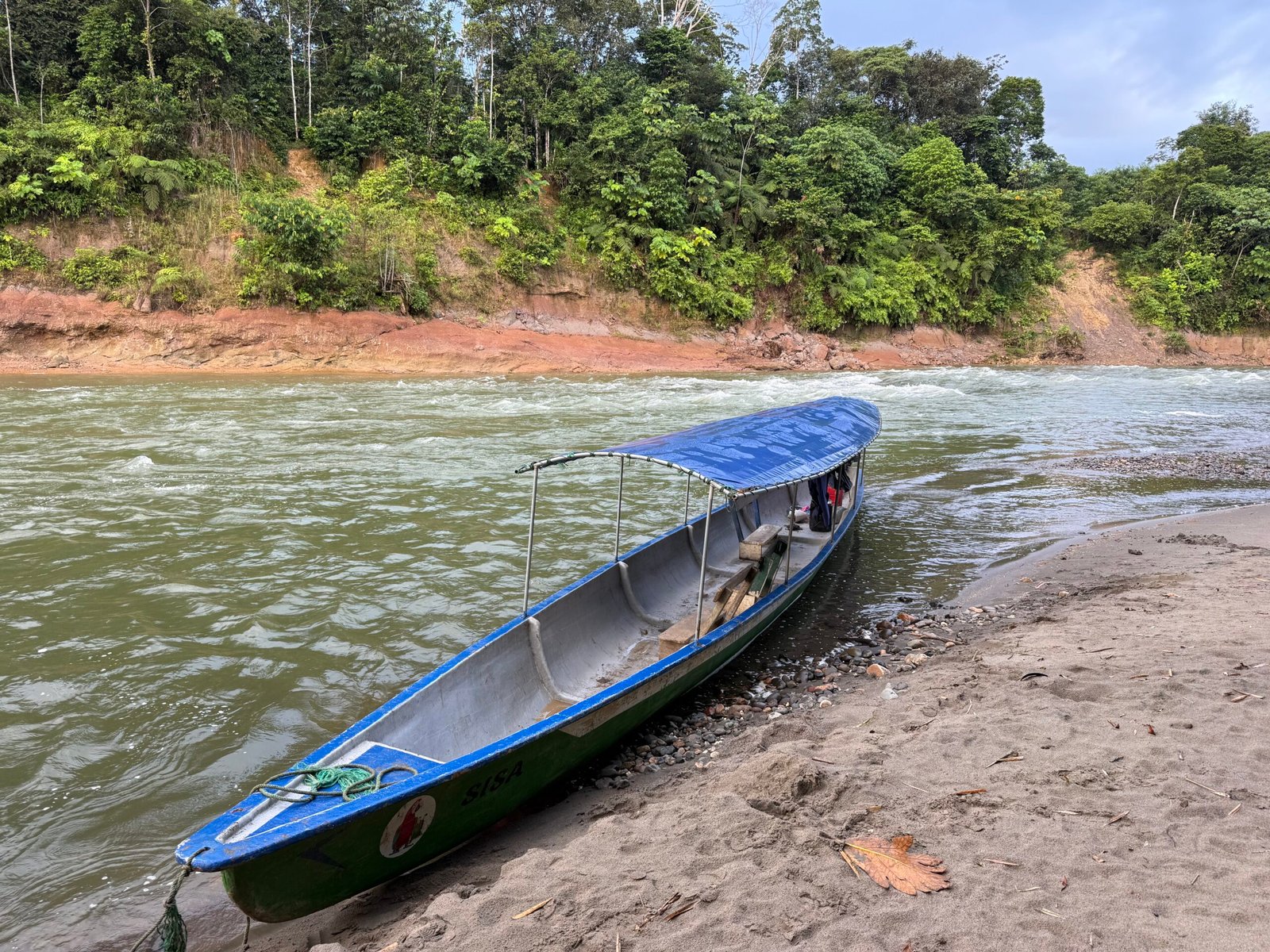
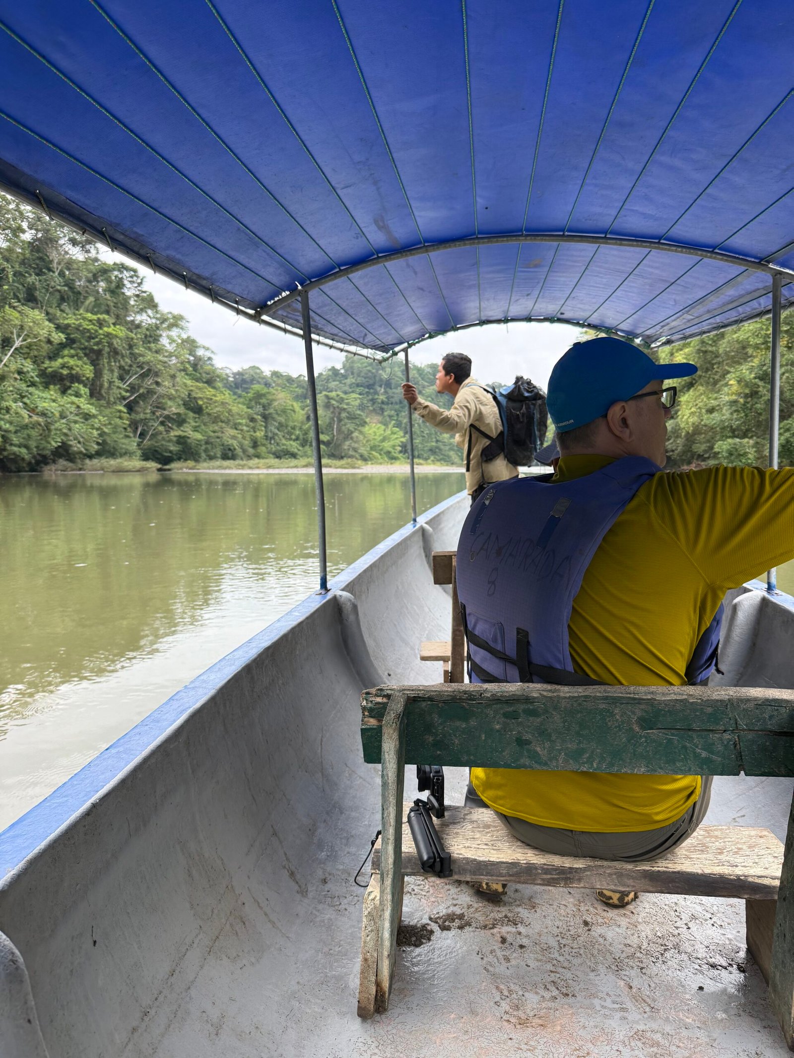
    We moved out early on the river in Jimmy’s riverboat (canoe) to get to the parrot clay lick. The parrots come in early, apparently to ingest the clay before foraging for the day. There is ongoing debate as to why they do this, but in general it is believed to either provide a protective coating on their stomachs or perhaps provide detoxifying properties for some of the things they eat. While it’s not a guarantee they’ll show, they did for us this morning, with a couple of dozen eventually revealing themselves. A boa constrictor, the only snake we saw on our trip, was spotted way up in a tree, maybe hopeful of an absent-minded parrot.

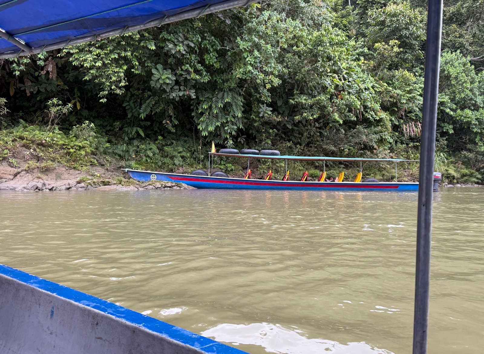
    This event was pretty popular, with several of the resort boats showing up after us. And this is where I noticed another difference in our experience. The other river boats were fitted for tourists, with fixed bucket seats. Our family’s boat, however, had plank seats that could easily be moved around to make room for whatever was needed. In other words, their pickup truck. I like it.
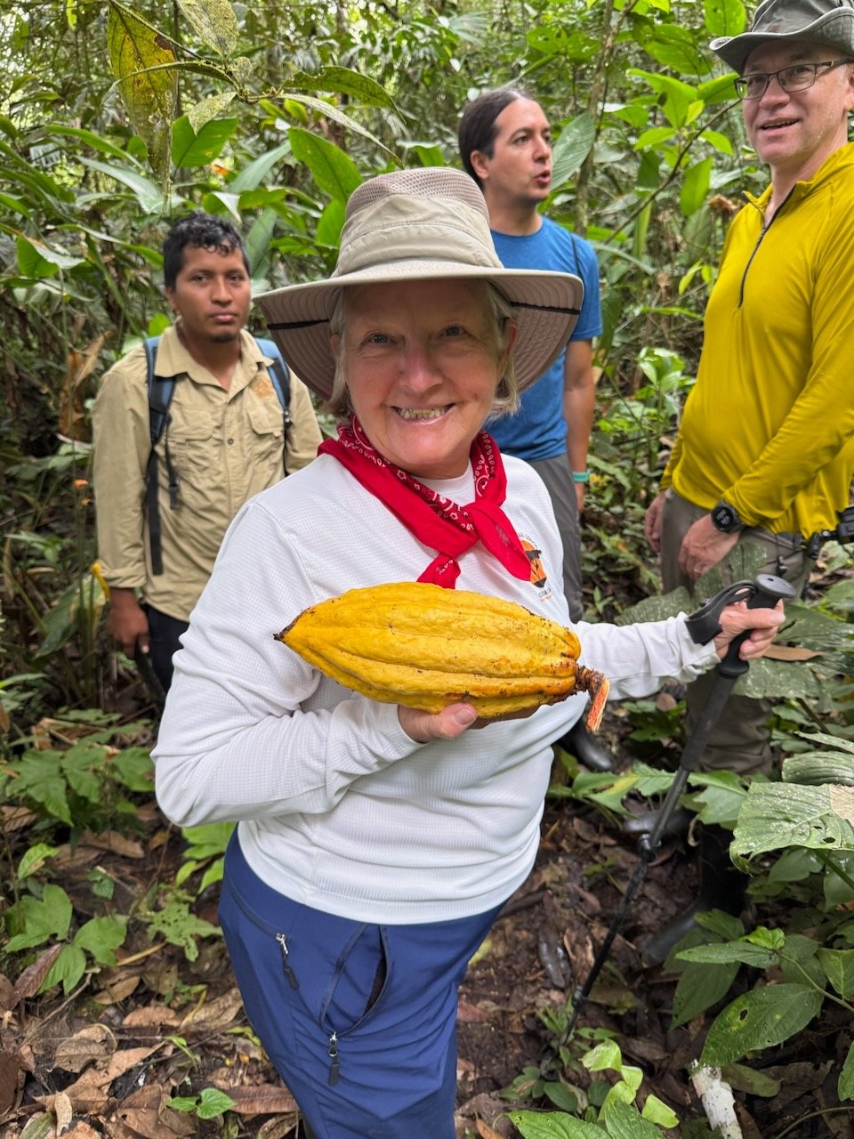
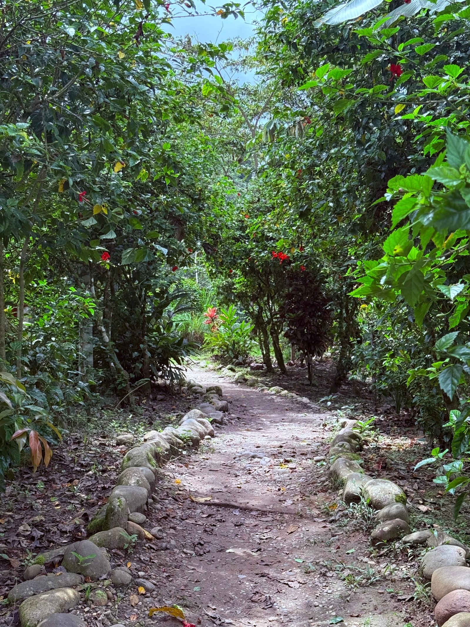
    The jungle walk was pretty fascinating. Rubber boots are the de facto footwear in the deep jungle. Mainly for ants, apparently. But pretty much everywhere else in the community most folks are barefoot. And they all have beautiful feet.

    On our loop hike, Jimmy showed us the highly-desirable yellow cacao, used for the best chocolates. Weirdly, the pods grow right on the trunk of the tree! Jimmy also demonstrated how the thatched roofs are made and that, if properly done, will easily last 10 years or more.
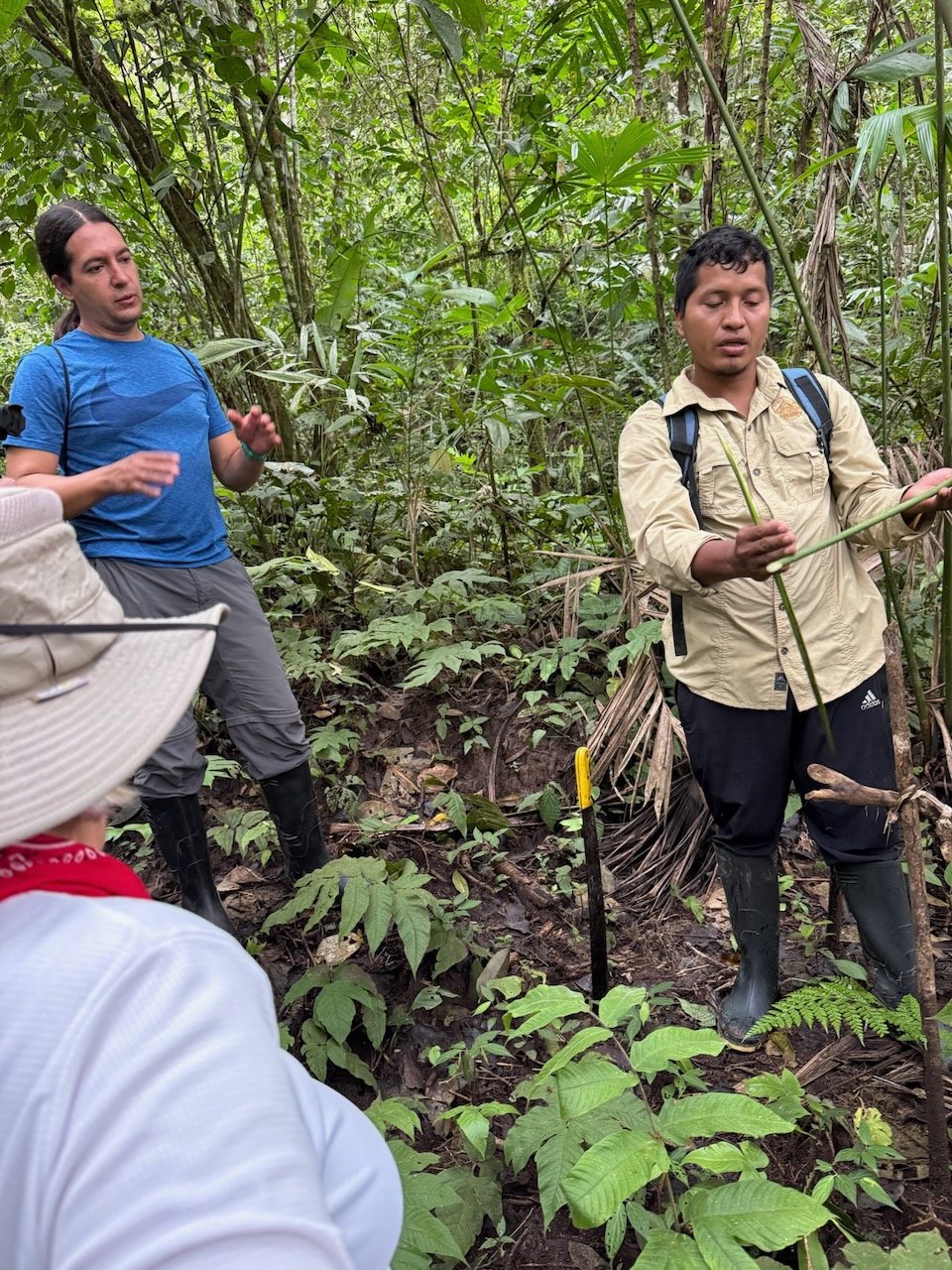
    We saw chunga palm, like the one depicted in Darién Gap episode of the Apple TV show Pluribus. With its 8 inch spikes, it certainly is intimidating, but is also quite useful to the Kichwa.

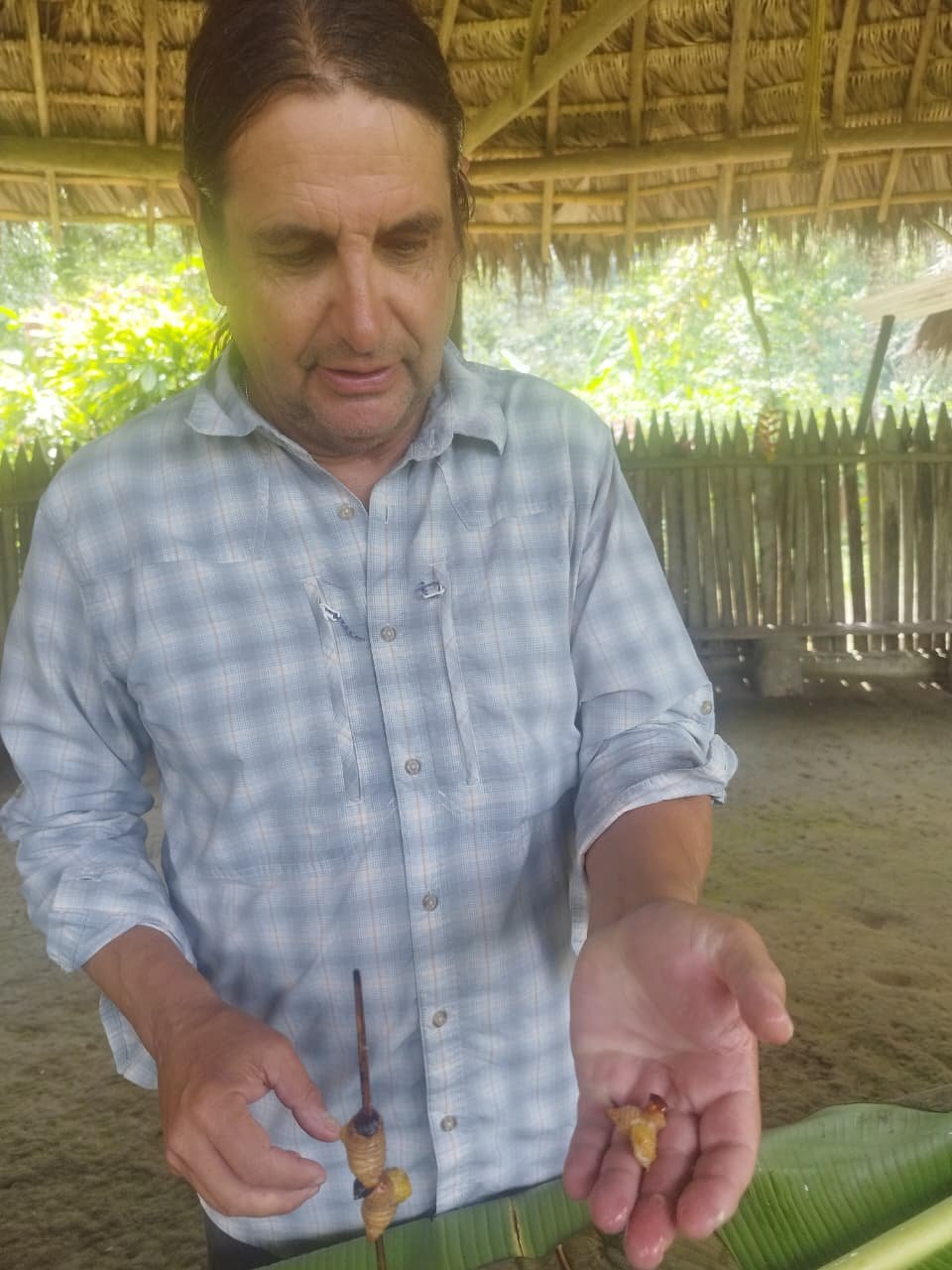
    Jimmy noticed a palm, the chonta, infested with a grub, known in Kichwa as the chontacuro, or “palm grub.” An infestation of the grubs will eventually kill the tree, so the locals will fell it and allow the grubs to continue to feed, periodically harvesting them for a special treat.

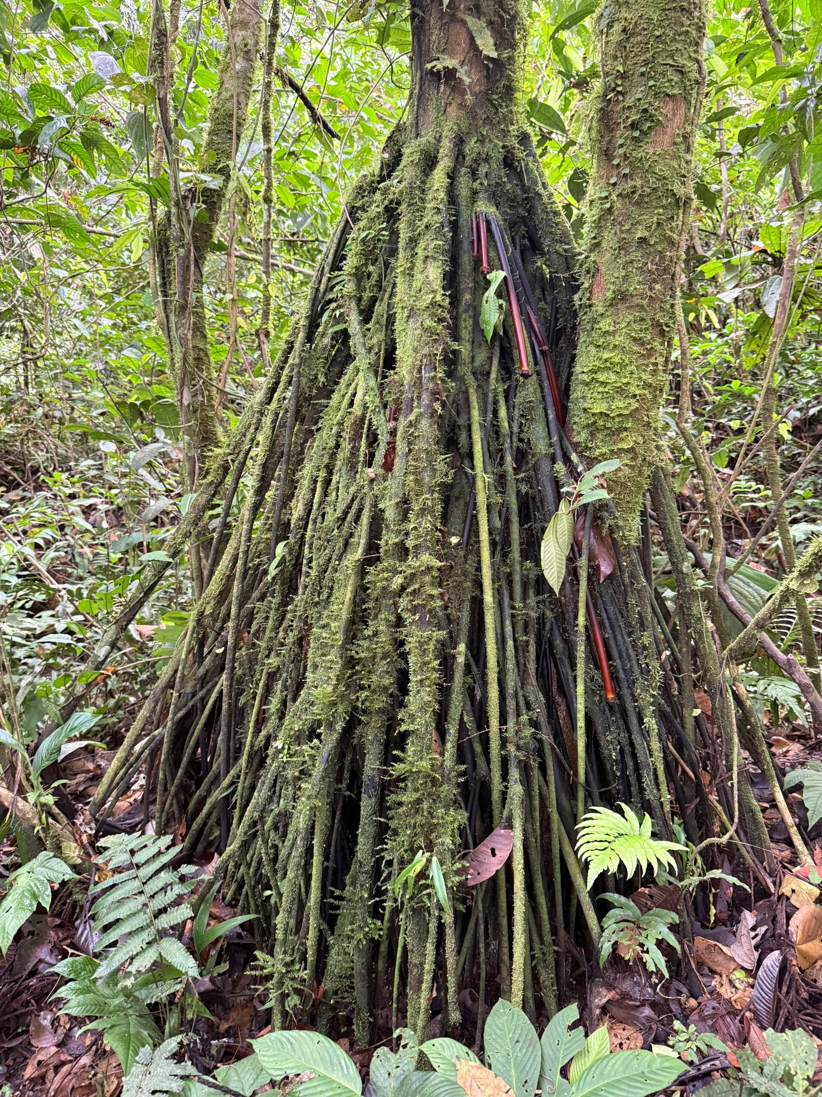
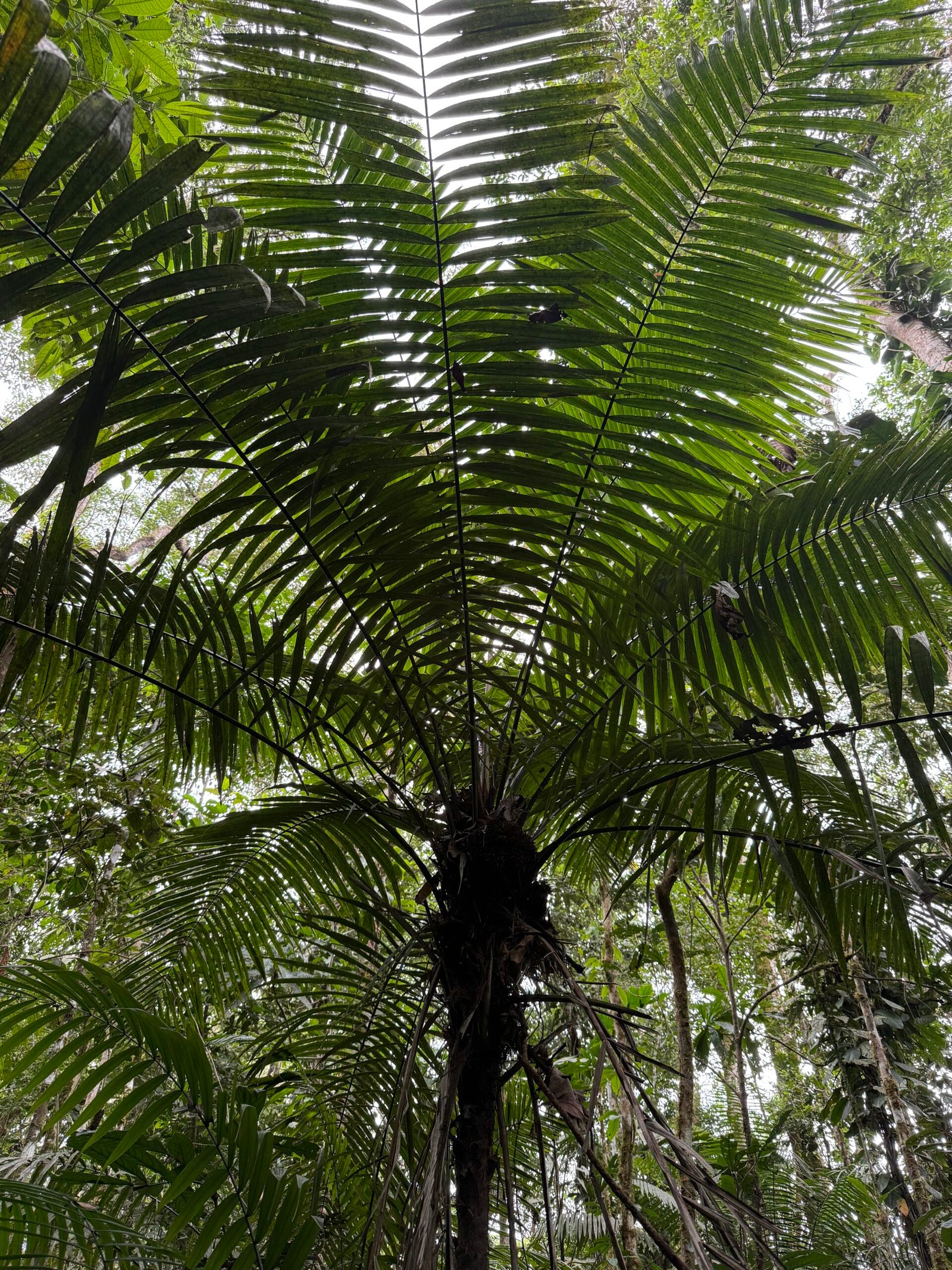
    The “walking palm” was quite interesting. Supposedly, the tree can extend roots one side and literally change its position over time like the ents of Middle Earth, slowly moving around. This is probably more legend than fact, but nevertheless, the tree is incredibly useful. The trunks are long, straight, and strong, and the roots have cheese-grater like knobs that are useful for cooking.

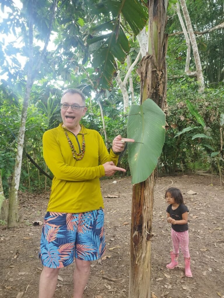
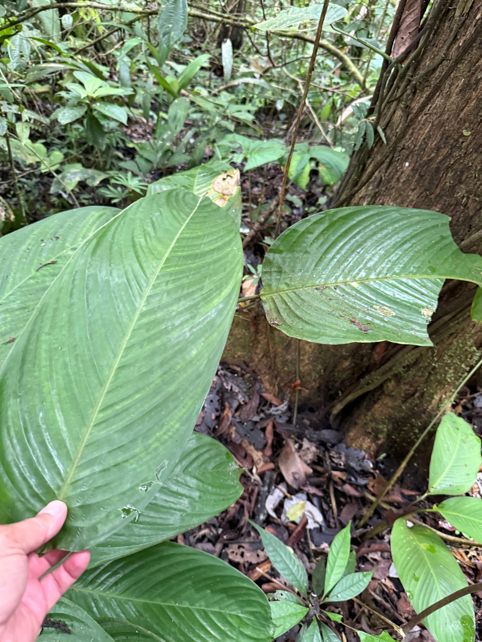
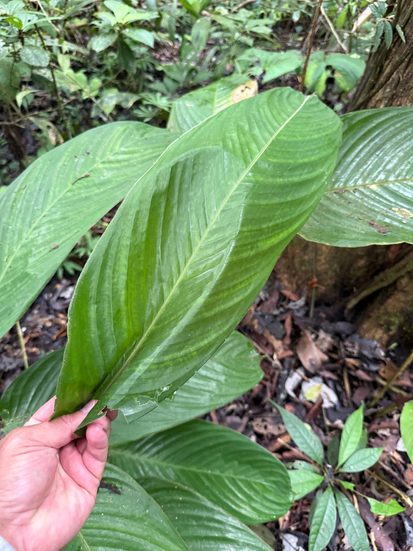
    The stone plant was used for wrapping food and imparting a nice flavor during roasting. The leaf was pretty amazing and I watched Jimmy fold it up to demonstrate how it was used to hold food, even liquids. When he unfolded it, I couldn’t even see the creases! Hence its other name, “Amazon aluminum foil.” Pretty cool.
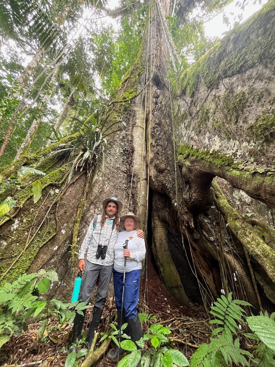
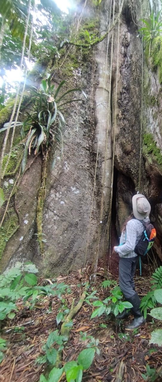
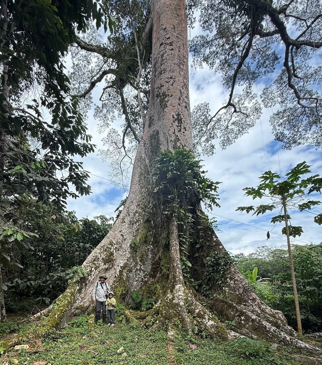
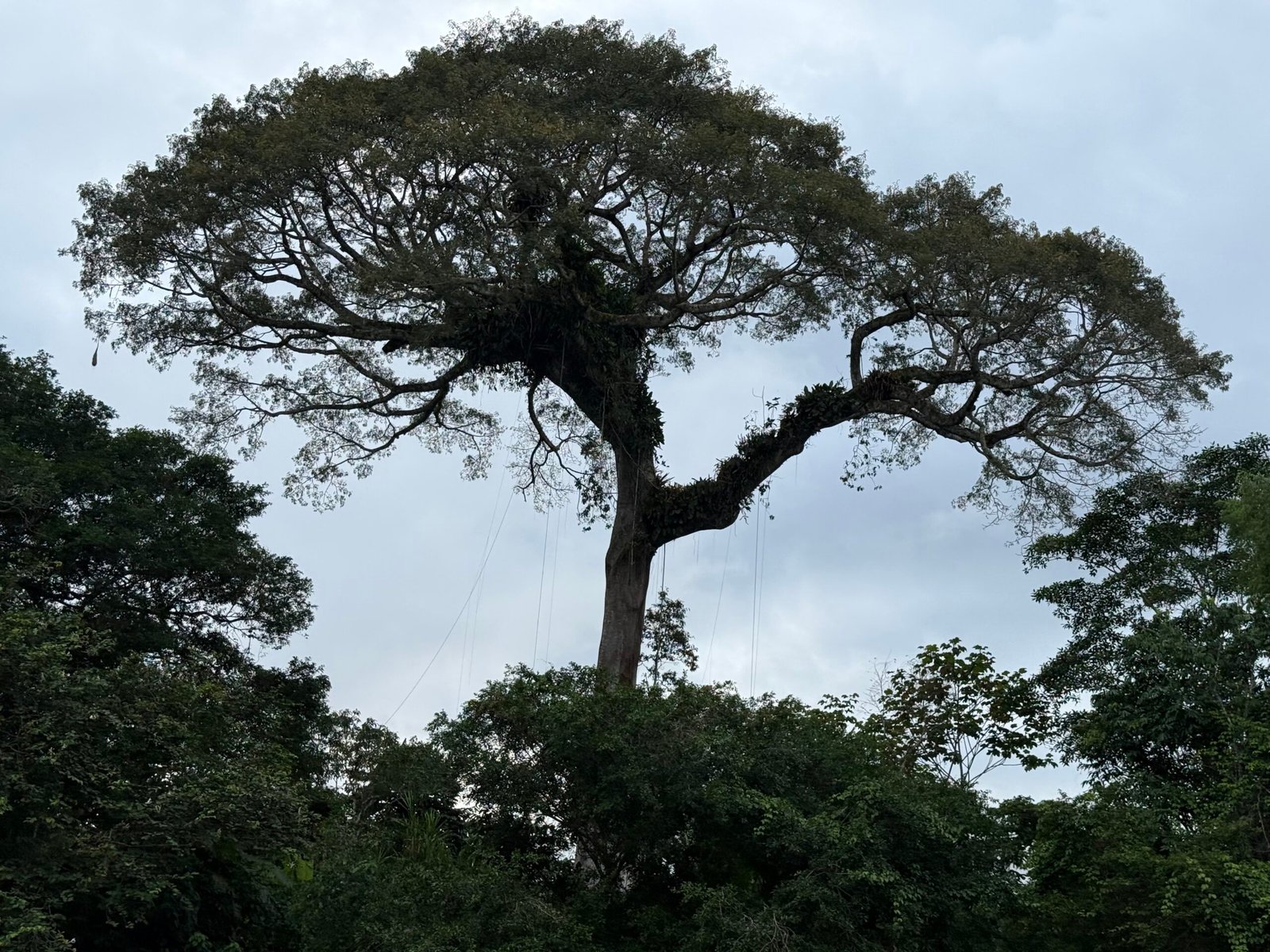
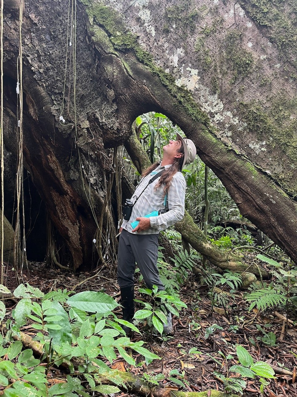
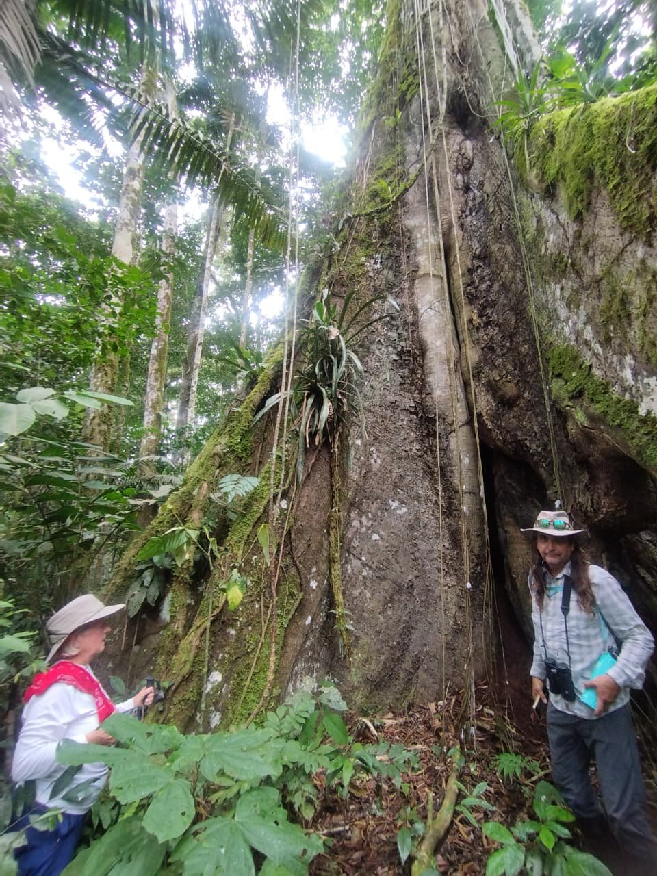
    At the top of the hill, we came to the mighty, mighty kapok tree. Alirio mentions that most of the forest trees last around 200 years, typically falling over at some point. But the kapok lives for many centuries. It is an iconic tree, with massive flying buttresses on the ground and entire ecosystems in its branches. A final treat on the walk.
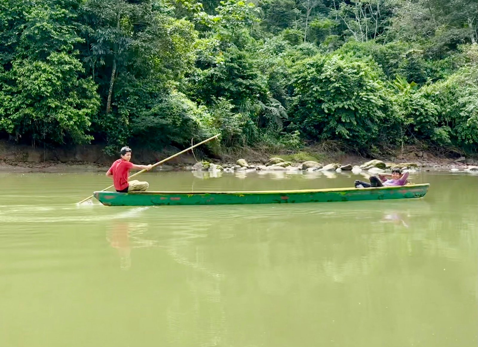
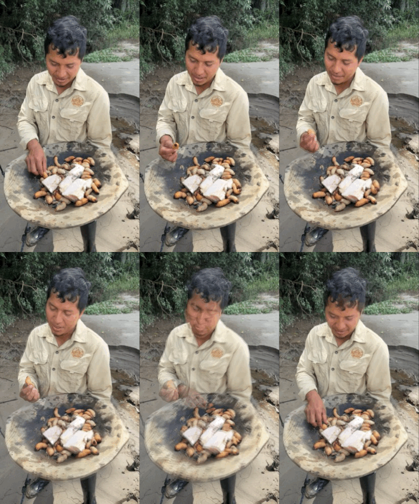
    Back at the river, two teenage boys in a dugout were waving at us. Jimmy calls them over and they show him their prize, chontacuros! And they are wriggling! Jimmy shows us how to eat a raw one, but he has no takers.
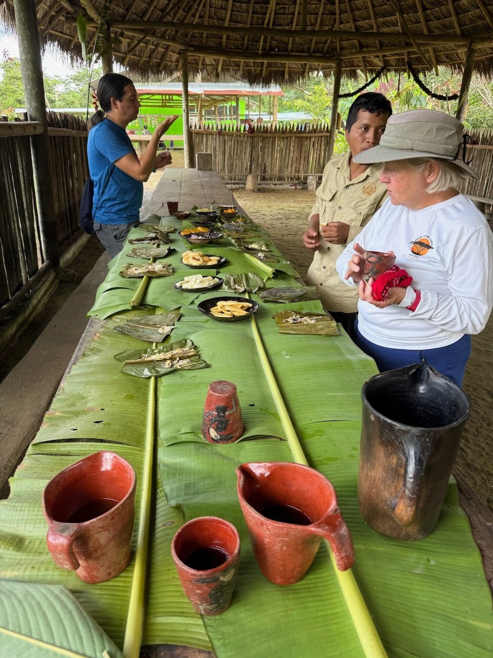
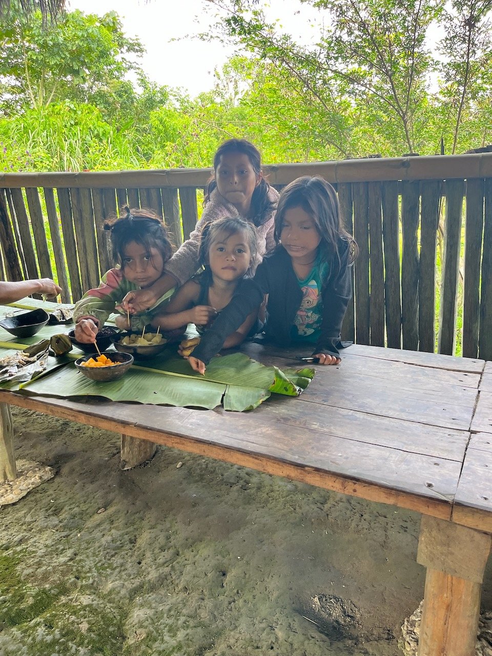
    Our last stop for the day is the Santa Barbara community center. They’ve been preparing lunch for us and have some arts and crafts to sell. The thatched building has a dirt floor and a high roof, an open fire for roasting, a food preparation area at one end, and a long row of tables covered with palm leaves for our feast.
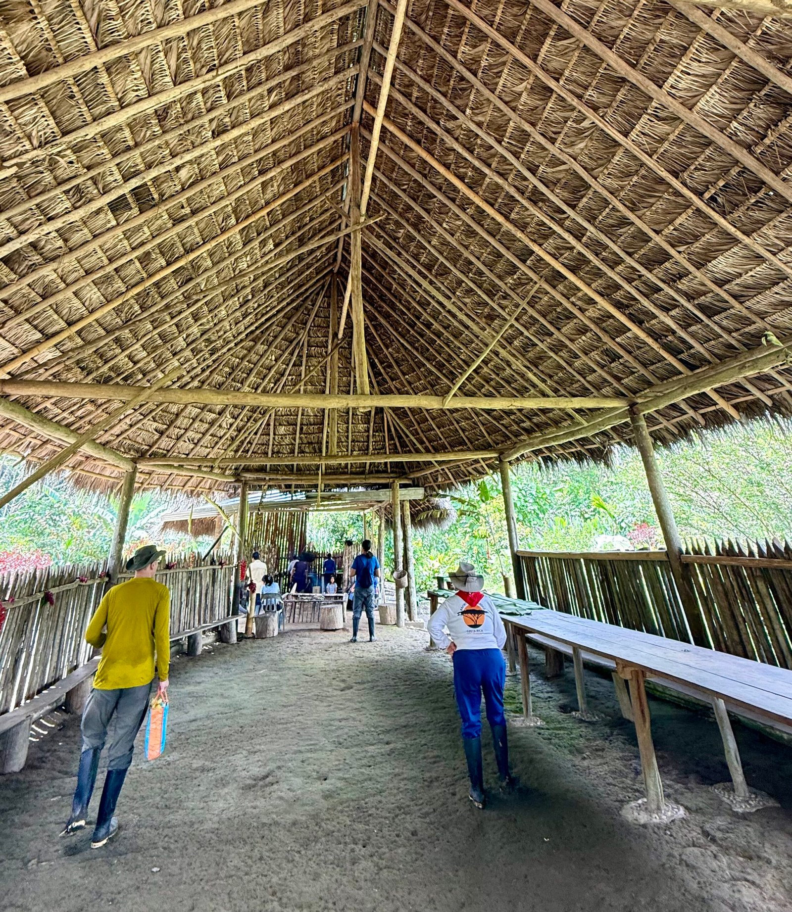
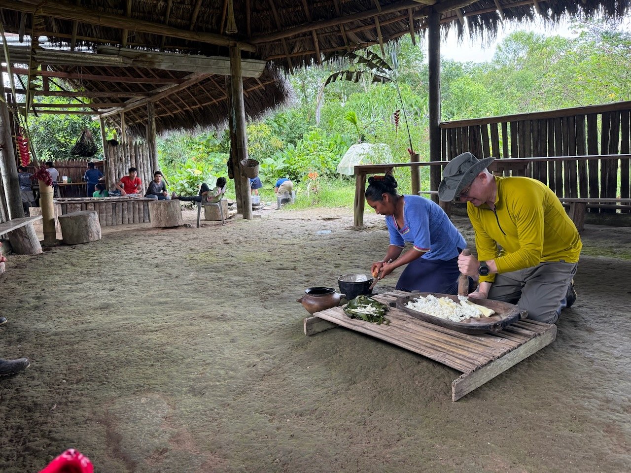
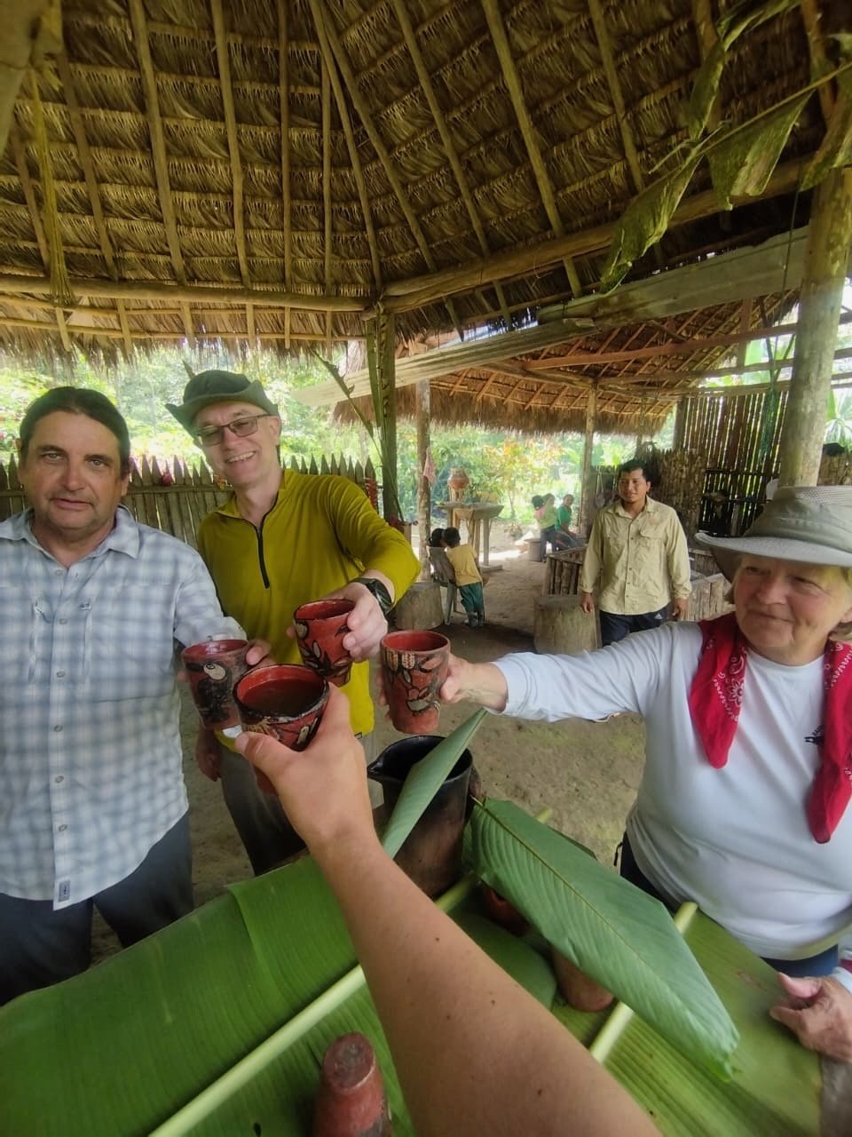
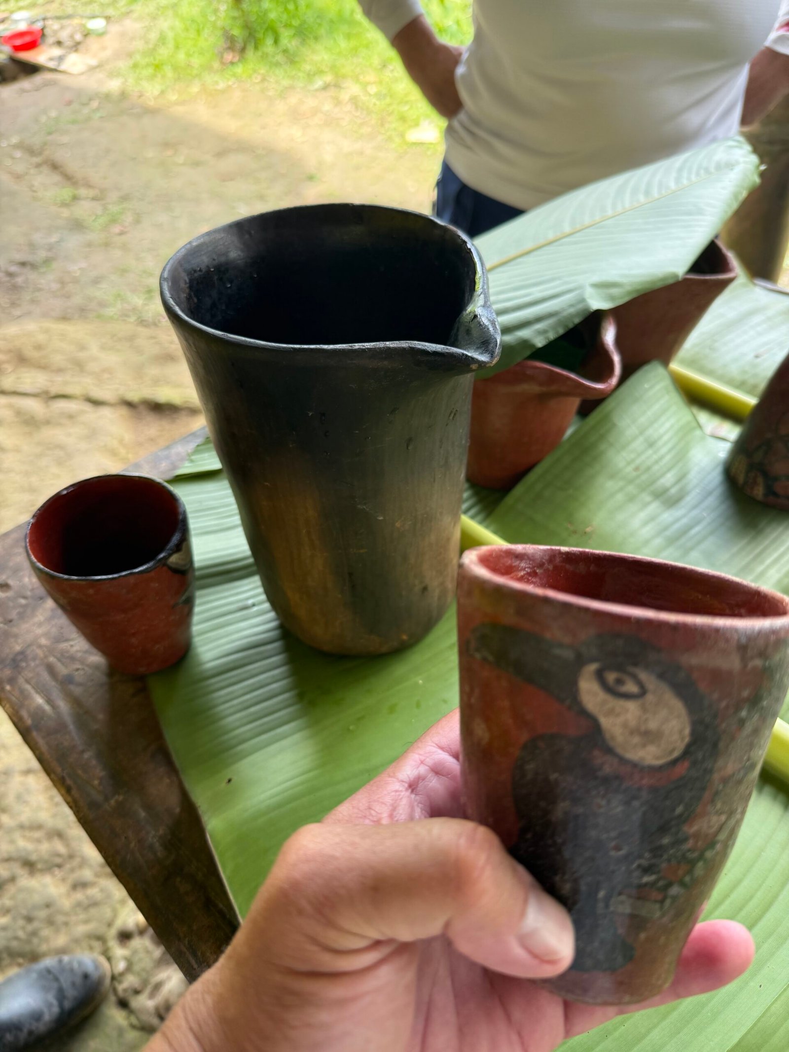
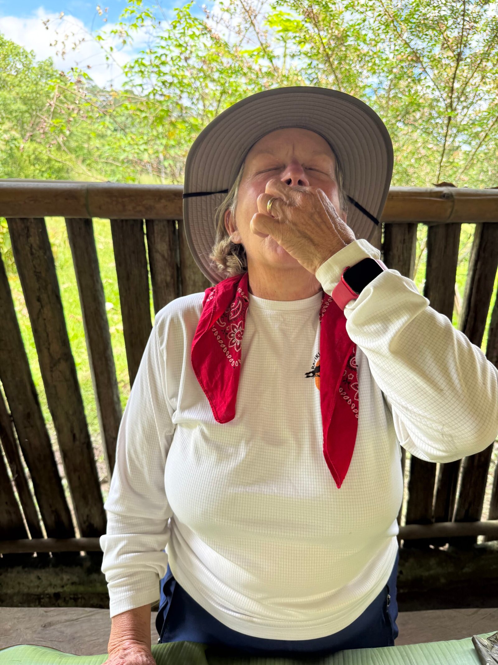
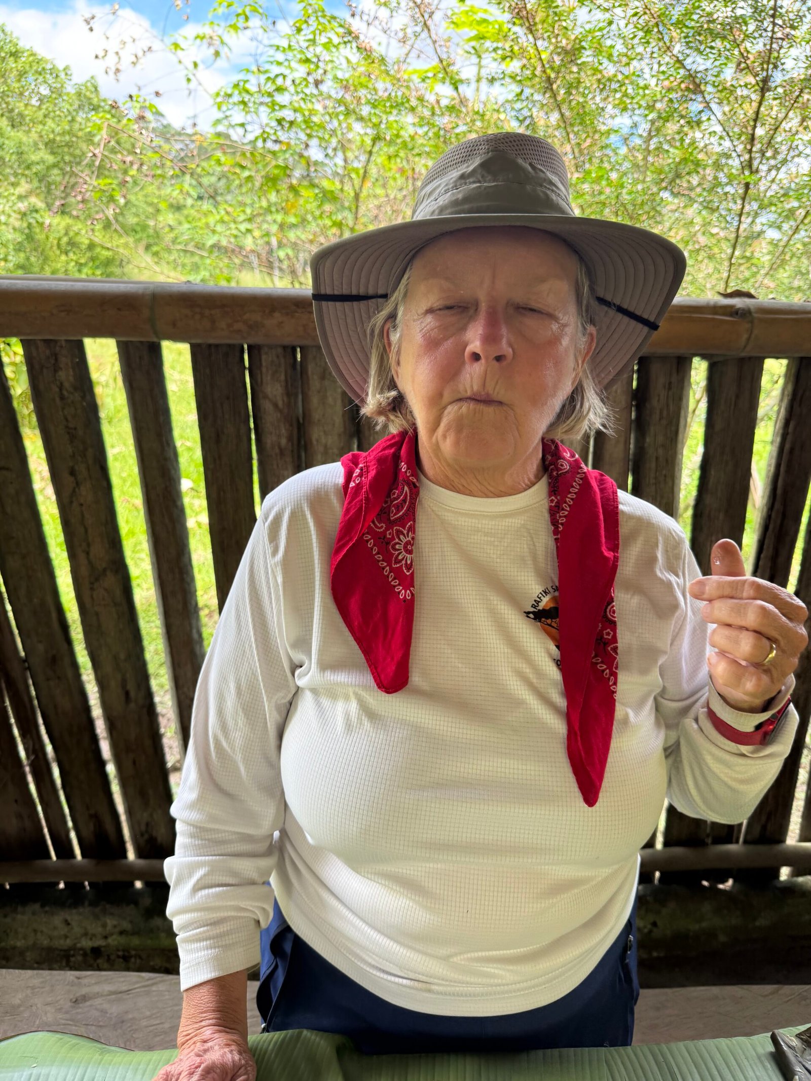
    Upon arrival, we present the community with coloring books and crayons for the kids. Alirio says they are useful in learning English. And after a demonstration of how to prepare chicha tea, we prepare for lunch. We’re directed to the wash station, where we wash our hands before we eat, because there are no utensils, because there is no need. The food consists of fruits and vegetables, a couple of different baked fishes, and chocolate sauce. The food is laid out openly on the table, and we just browse around, pulling the delicious fish apart as we talk. Jimmy comes out with a skewer of special treats, roasted chontacuros just for us! It would be impolite to refuse, right? I give it a whirl and to my surprise…I find the little guy quite buttery and savory! I encourage Patricia, and she’s all in! Ah, Walter just couldn’t pull it together, Alirio got the treat instead.
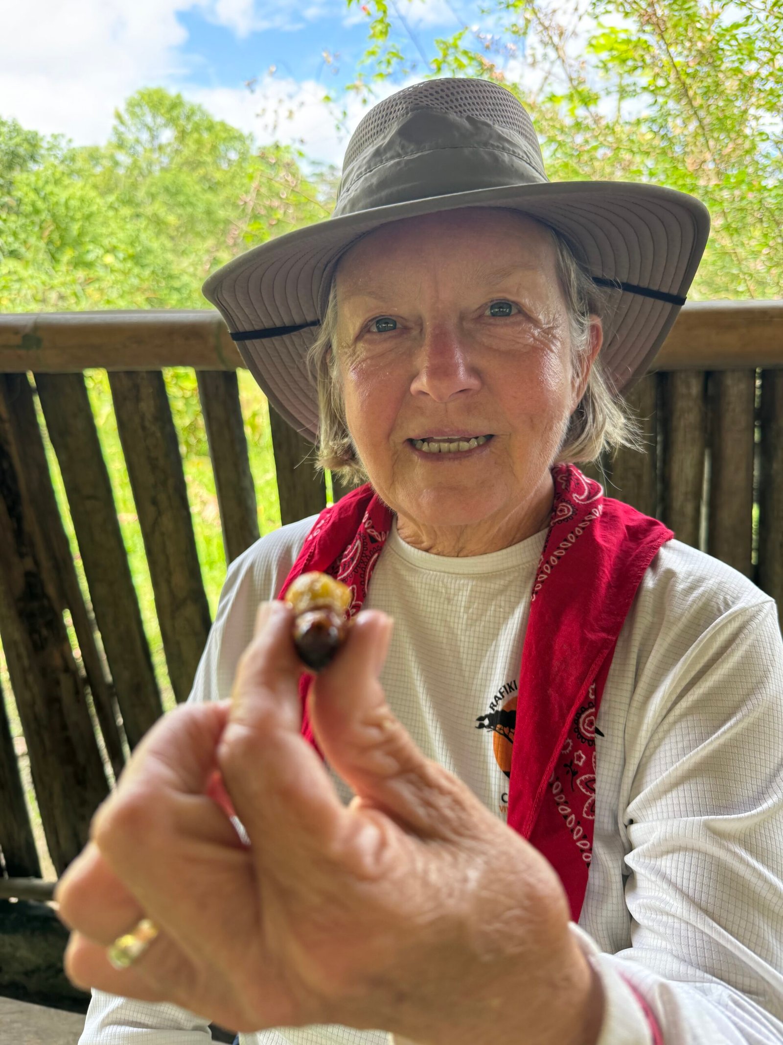
    It was a tad awkward for us gringos to wander around the food spread and pick off bites here and there. Once we had finished, the families came up and pretty much devoured anything that was left. We actually felt a little embarrassed about it.

    And unlike gatherings in the States, there is nearly zero waste. No plastic, no plates, hardly any scraps. The forest provides the food, the tools, the fire and the water. All it takes is the knowledge and skill passed down through the generations and reinforced through their traditions.

    The more you know, the less you need. — Yvon Chouinard, founder of Patagonia

    And voilà! Within minutes, the community house is cleaned up spic and span.

    The Santa Barbara community has about 130 family members equally split by the Arajuno river. This didn’t seem to bother them. In fact, the river is their highway, and they easily moved back and forth using their long boats.
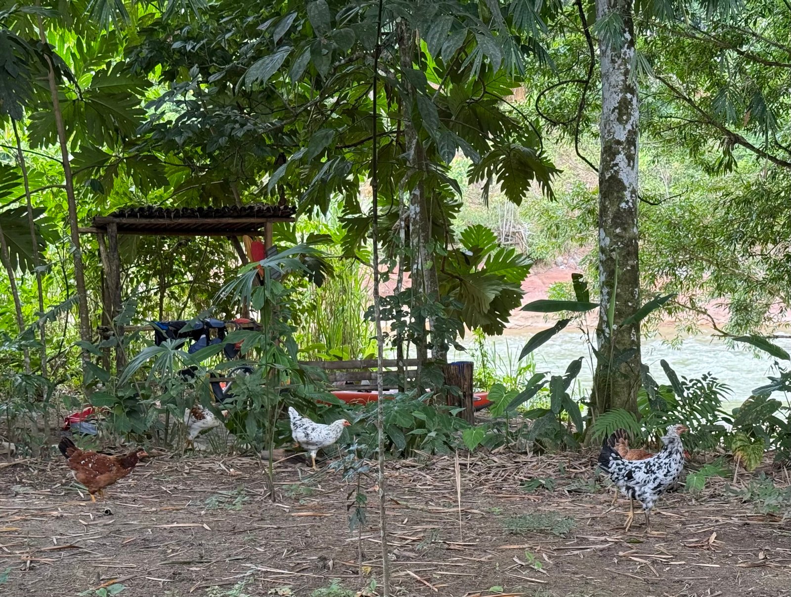
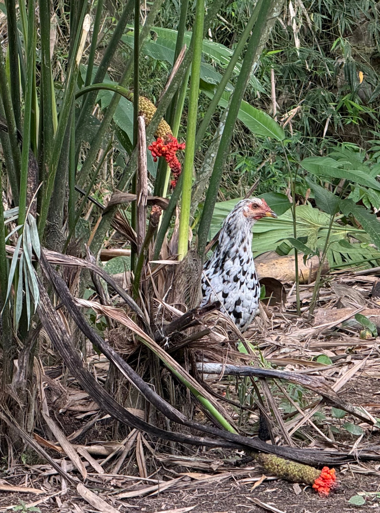
    Spending a lazy afternoon at Glamping Arajuno, I got a real kick out of the Amazon chickens. About a dozen of these little velociraptors would sweep through the camp every few hours, foraging for anything that might be a meal. Incredibly long-legged and fully-feathered, these guys were healthy and meant business.

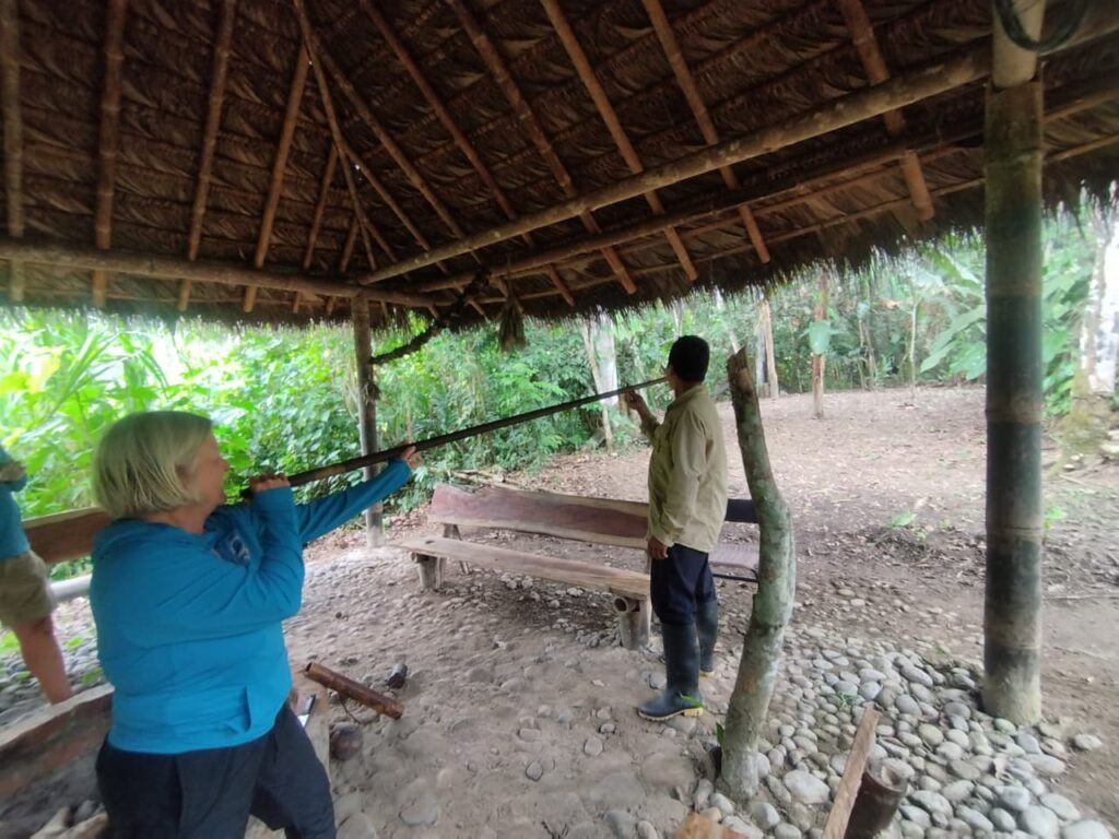
    Jimmy gave us the opportunity to try out a traditional blowgun. Given to his people by another tribe that still hunts monkeys the traditional way, it was an honor to own one. The blowgun was made out of two pieces of walking palm wrapped together. Nearly eight feet long, the thing was so heavy that my little T-rex arms couldn’t begin to keep it steady and Patricia couldn’t even lift it. Walter was getting the hang of it though!
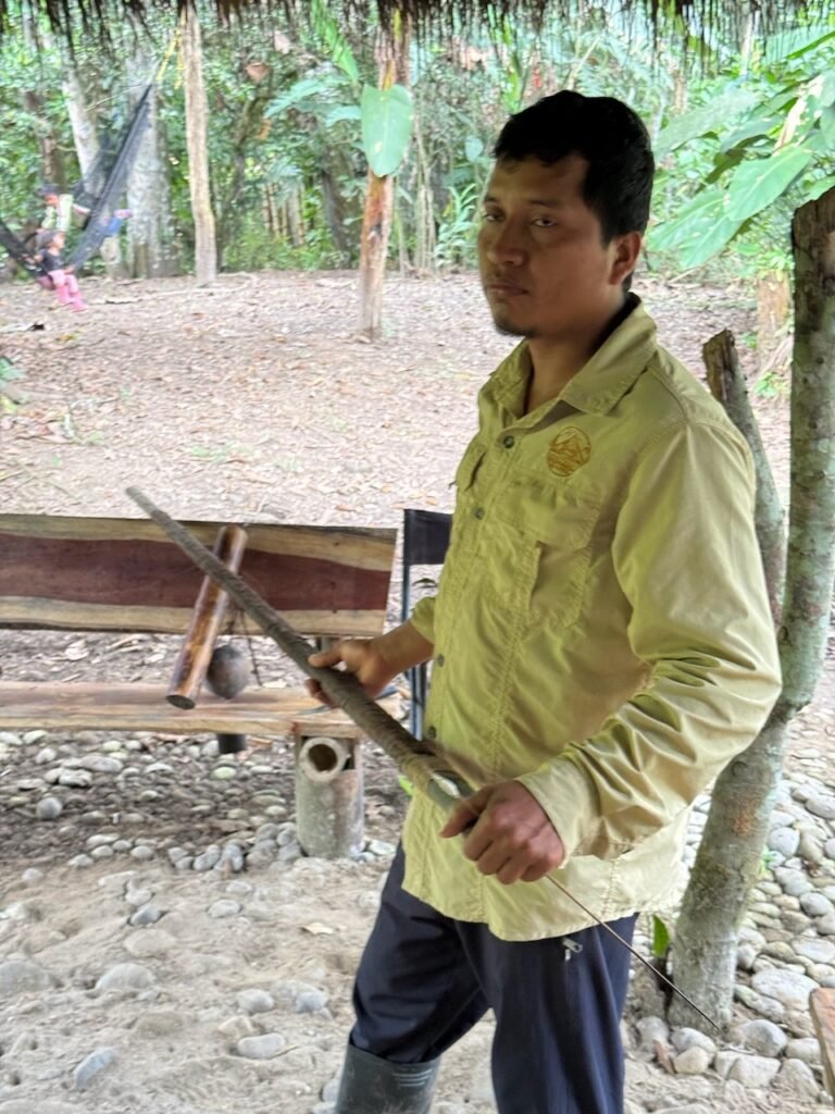
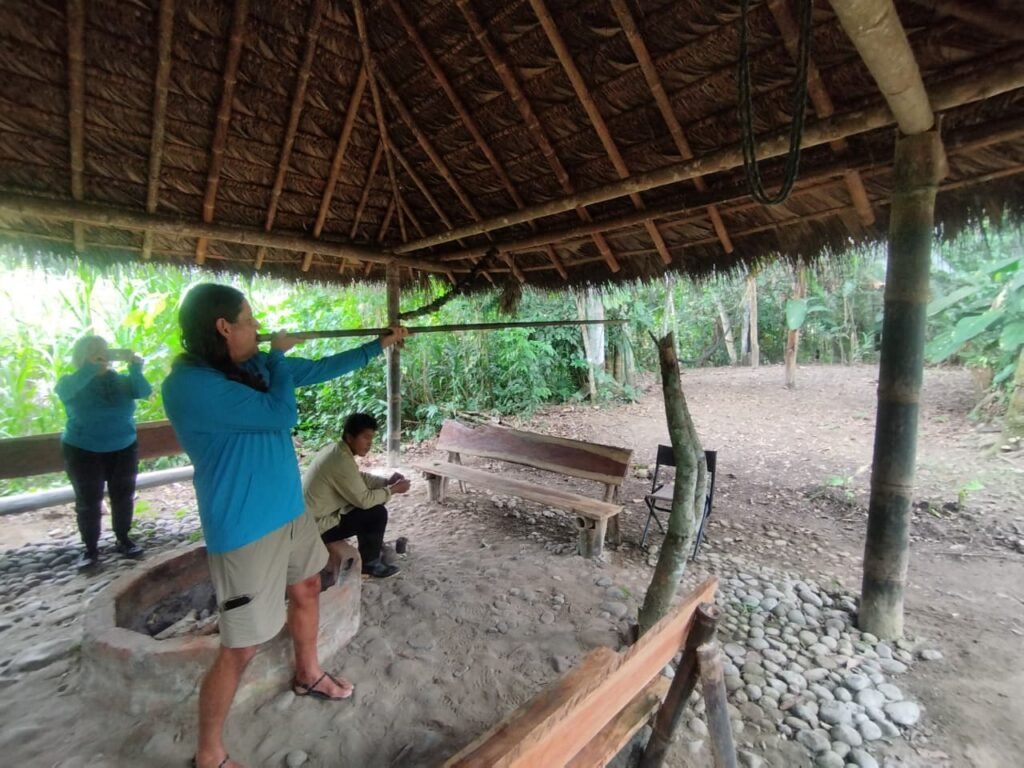
    The darts were long and slender and used a tuft of kapok seed down to make the cottony flight and form the seal in the tube. For hunting, the tribe dipped the dart tips in curare, a paralyzing plant extract. Jimmy explained that some tribes used more lethal (and dangerous) frog toxins, but this tribe preferred curare, requiring that they track the prey until it falls asleep. Apparently the marksmen can hit monkeys at 50 to 60 meters with a gun like this.

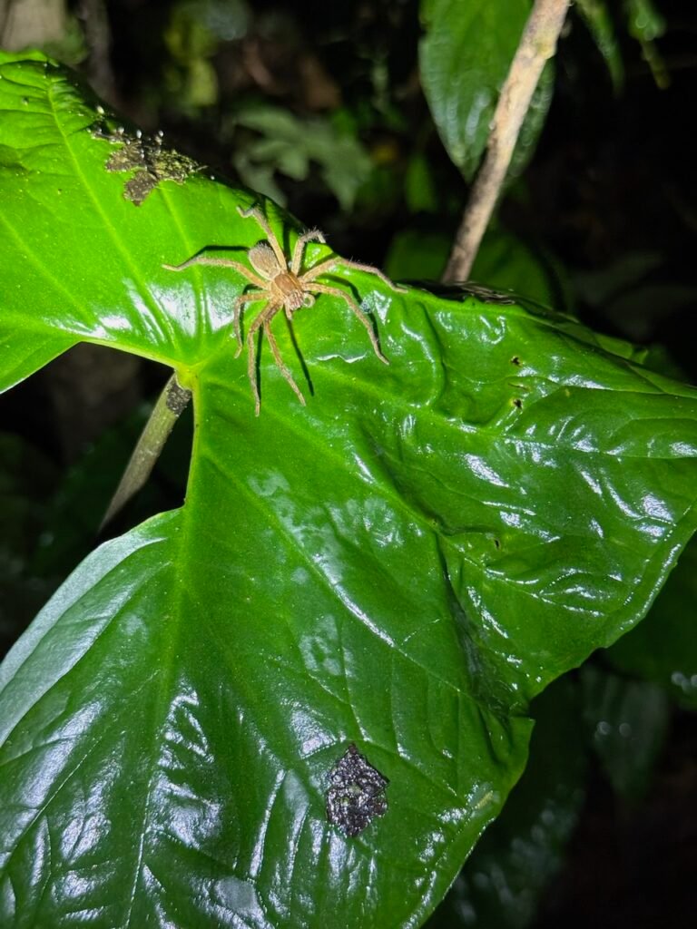
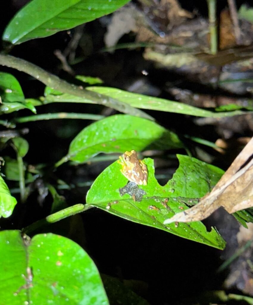
    We opted in for the night hike and it was fun spotting a few insects and spiders. We were actually surprised at how few critters we found, we thought the night would be teeming with life. Well, there was the one pterodactyl that buzzed my face and was gone in a flash…
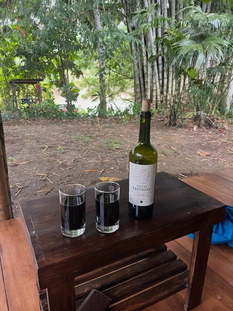
    At the end of the evening, I wandered back over to the dining area to buy a bottle of wine. Chilean wines are something we don’t see much in the States, but they have a solid reputation in South America. Jimmy’s daughter was a budding sommelier but was having trouble with the corkscrew. I indicated I wanted to help, so she handed it to me. I set the screw and then showed her how to set the first bootlever on the edge of the bottle. Her eyes lit up as I began to extract the cork. She reached for it, but I held up a finger and proceeded to set the next lever to fully extract the cork. A big grin. She’ll be ready for her next guests.
    Finally, I was able to wash my hair tonight! Has Caesar’s gift helped? Only time will tell I guess. But I’m feeling pretty grand.

    We head out of the jungle tomorrow morning, it’s been a good day.
  • The Sky

    The Sky

    The last of  the series.

    I’ve always been fascinated with the sky. As a young boy, I brought my mom outside to show her my discovery of the Big Dipper and Polaris amongst the city lights. It has been a life-long memory for me. Throughout my younger life, backpacking has always opened up the sky. Tall tales told at night while on our backs looking at the stars from rocky outcrops or grassy balds, occasionally catching sight of a meteor shower or the rare satellite. I would point out to my buddies which ones were “spy” satellites because they traversed the sky in a north-south direction where they could “see” everybody as the earth rotated under them. Smile!

    Soon after I graduated and had started my engineering career I began saving money for a telescope. Credit cards were not even a real concept for a young single man then. With the money in the bank, I made a beeline to Wolf Camera in Huntsville to purchase a Celestron C8 SCT, complete with a Byers worm-gear drive and equatorial mount. It came in a footlocker with paper sky guides and a list of Messier objects and their coordinates. I wrote them a check. The very first object I observed was Saturn, spectacular with those majestic rings.

    Viewing in the east is a challenge. The telescope, looking at the deep cold of space, will radiate its warmth away and cool well below the dew point. An incredible amount of moisture will condense on it without a dew cap and heater. Eastern humidity also magnifies any light pollution. The best observations are alway in remote areas when the temperature is freezing. I remember one time that my friend Charles suggested we try the top of Hench Mountain, near Crossville. So Charles, James, and possibly someone else (LaDon?) drove to near the top, but we were stymied by the locked gate of the FAA station. So we lugged all of the gear up to the high point (I’m pretty sure this wasn’t even legal…) and out of the trees. In order to power the telescope drive motor, we also removed and lugged the 12v car battery out of the Dodge D100 pickup, hoping not to drain it too far. The backup plan was to roll-start the old three-on-the-tree truck by letting it coast down the mountain road and popping the clutch, spinning up the alternator and generating the necessary spark. There was no plan in the case of being under surveillance, because in those days, there was no surveillance.

    But it was the West that kept me awake all night. In 1995, I petitioned our host at the Navajo community of Dzilth-Na-O-Dith-Hle (DZ) to allow us to take our youth group to the top of the holy mesa for an overnight sky watch. While I will share this full tale at a later time, it was spectacular. The Perseid meteor shower was incredible and I watched the sun rise. The night sky like I’ve never seen it and have rarely seen it since.

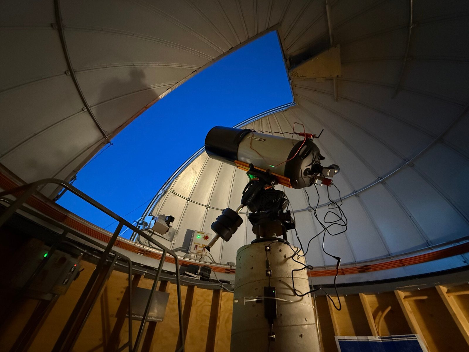
    Early in May this year, the BEP sponsored a star party at Goosenecks State Park, and it was great fun sharing the sky with the campers there. The next event was in Monticello at the Discovery Center, in support of the local high school. The Discovery Center had just come under the BEP umbrella, and a legacy grant had just finished up the installation of a 14-in telescope inside a pretty sweet observatory.

    Sarah and Carolyn have been checking out the new scope, and wanted to know if I might be interested in helping.

    Duh.

    They had taken a few truly stunning photos late in April, but they were wanting to make it easier to share in near-real time with a group.

    So we had fun tinkering around with the high school group and then even made a dedicated run back up to Monticello later in the week to sort out the system. We snapped photos of the equipment model numbers and pondered how to best get these deep space photons onto the retinas of the unwashed masses.

    The observatory dome is not linked to the telescope and requires an operator to move the dome around whenever the telescope is repositioned. And there is a staircase on wheels that has to be managed.

    We all kinda fell into different roles and Carolyn ended up moving the stairs and chasing the telescope with the dome. It completely reminded me of Young Frankenstein with Igor at the controls. “Yes Master!

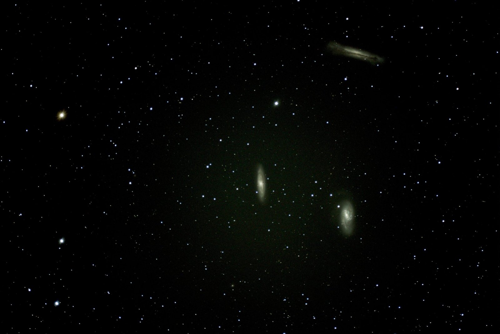
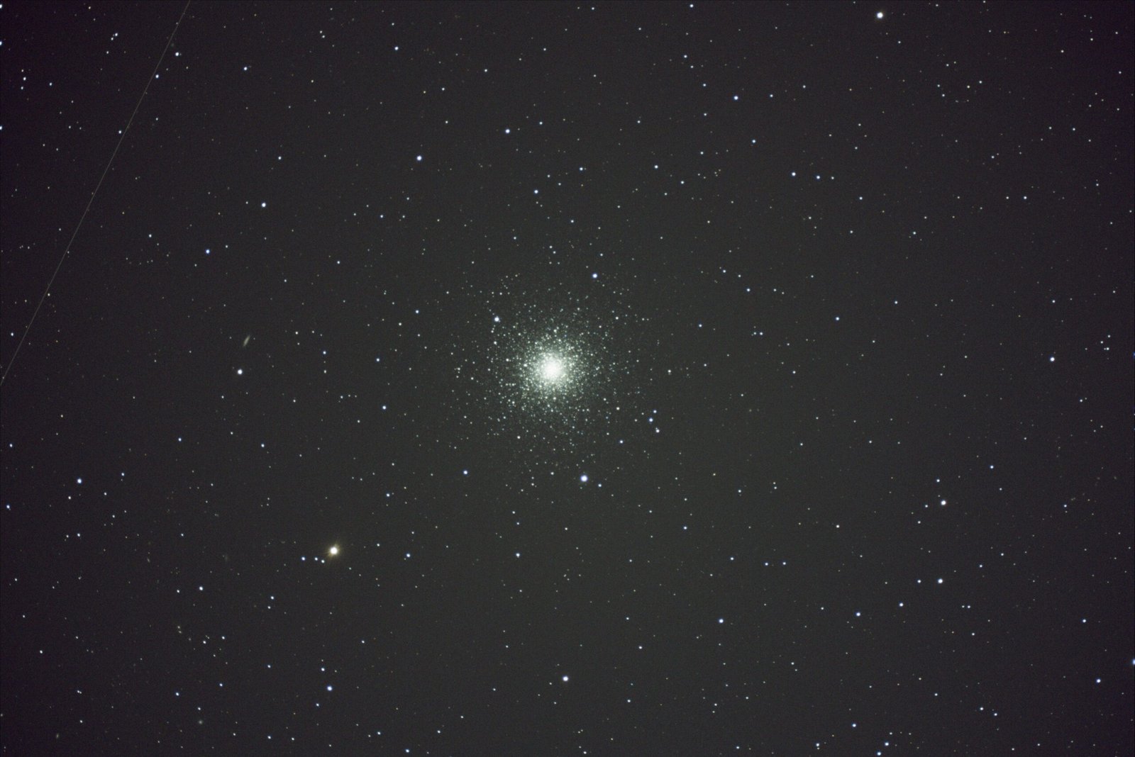
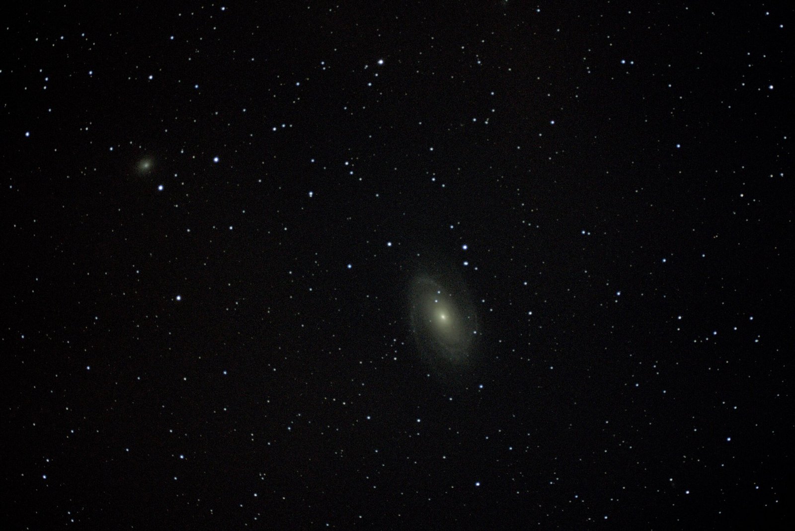
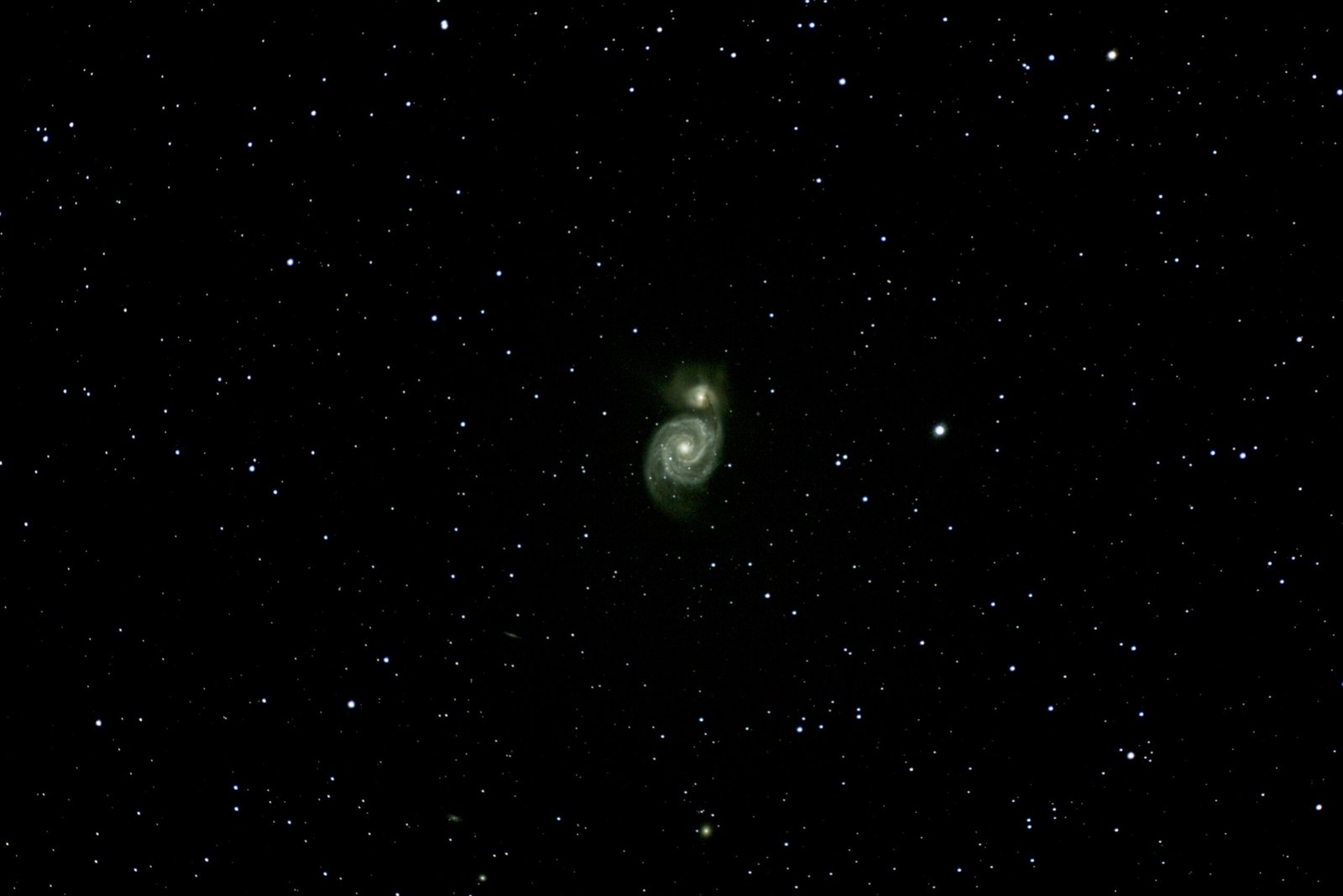
    Since this was just an investigation of how the systems worked, we didn’t turn the Center’s outside lights off. We didn’t even darken the lights in the observatory. And we just did the minimum image capture/stacking to understand how to point the telescope easily. And even with all the glare these images were also pretty stunning.

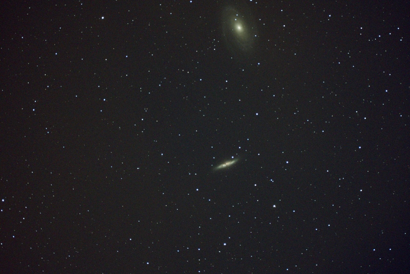
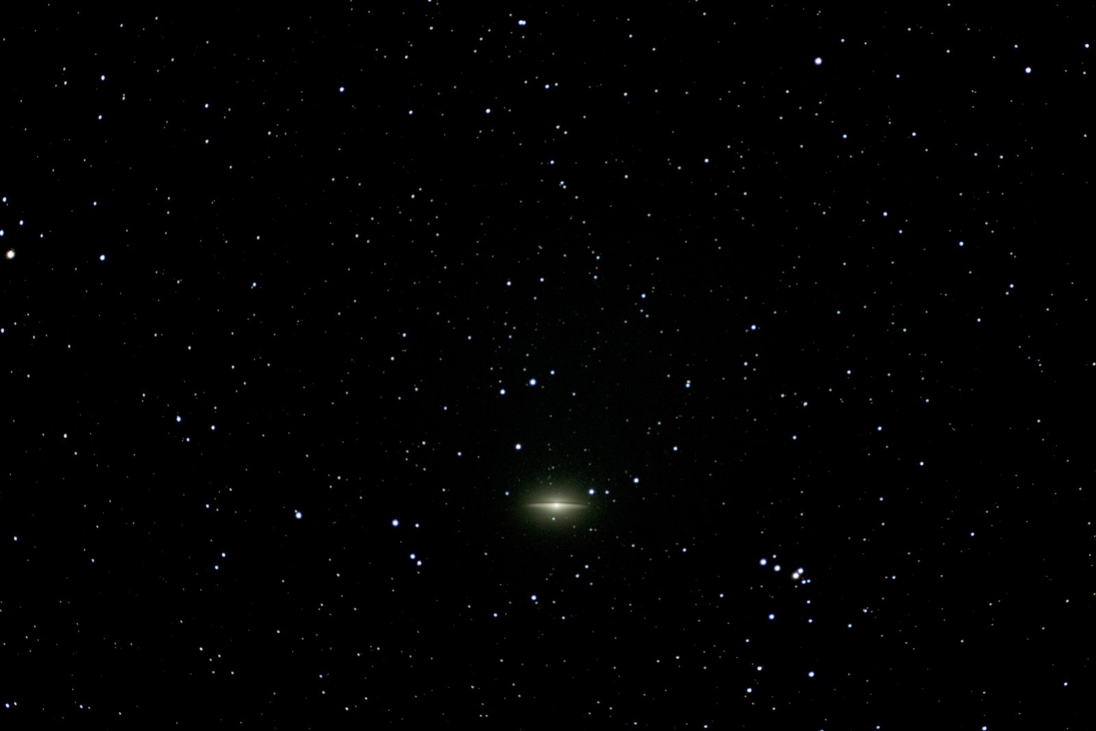
    There is something that happens to me when I see more than one galaxy in an image. It’s estimated that each galaxy contains over 1,000,000,000 stars, and to see two or three at a time is just beyond comprehension. Our little teeny tiny Whoville is such an insignificant speck in the cosmos. Should we get what we get while we can? Should we be humbled by the immensity of it all? Should we reach for the stars? Should we realize that we are living in paradise, today?

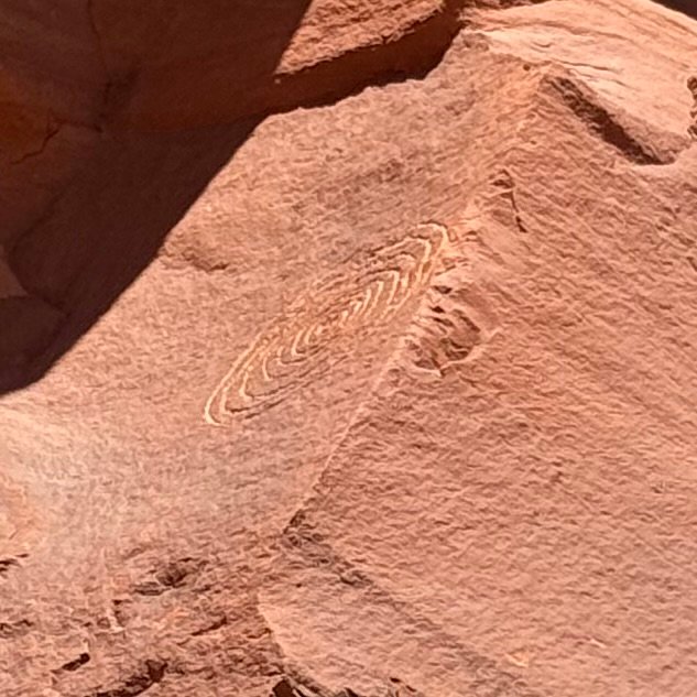
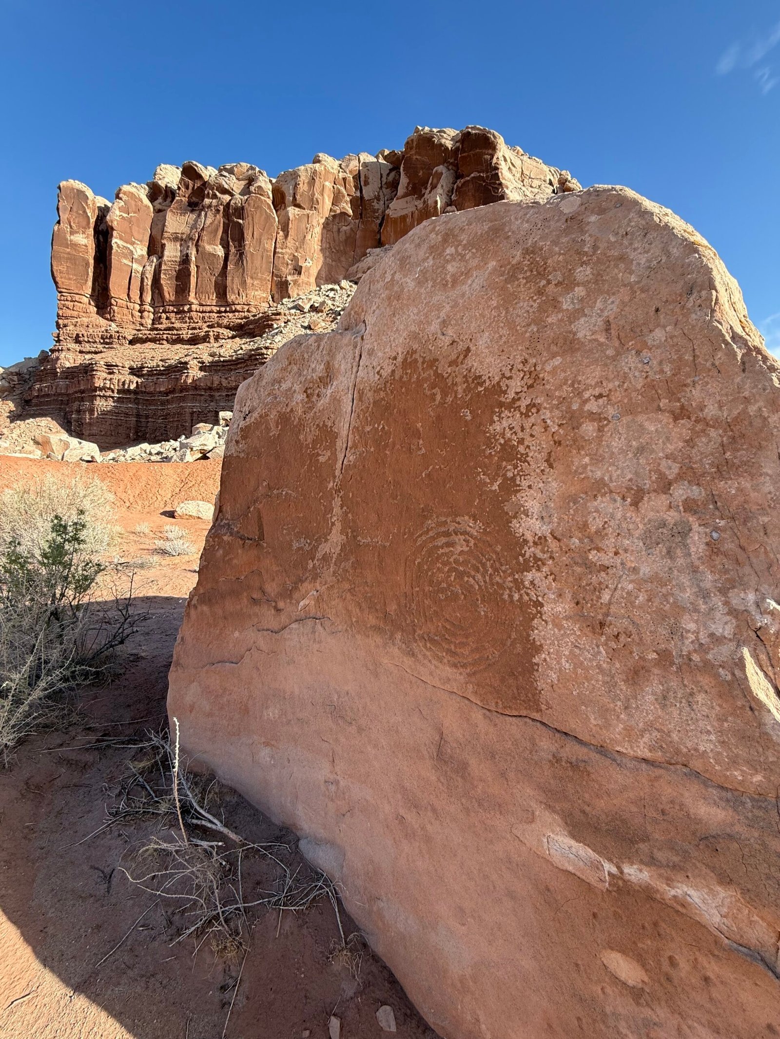
    The ancients lived by the stars. And a theme that shows itself both New World and Old is a cycle of the moon known as a lunar standstill, or lunistice. While we see a spiral in much of the rockart here in the southwest, sometimes it represents a journey. But sometimes, if you count the spiral, you find about nine lines on either side of the center, totaling 18. I think this is called a Grand Spiral, and it signifies the span of time in years where the moon alternates between its northernmost and southernmost points. And in the Chacoan culture, they have very long-range structures set up to observe phenomena like this.

    Talking with a good friend that is into the Hebrew culture, I learned that they too observe a lunar calendar. It makes sense after all. But theirs is 19 years. Modern physics tells us the cycle is actually 18.6 years.

    I love it. It makes things real for me. The physics, the spirituality, the essence of existing in this vast world.

    G. K. Chesterton was know as the “Master of Paradox.” He speaks a thing, and you say “No, that is not correct.” But then you chew on it a bit and he changes your mind. Here Chesterton is making the case that it’s the logicians, not the poets, that go mad:

    Poetry is sane because it floats easily in an infinite sea; reason seeks to cross the infinite sea, and so make it finite. The poet only desires exaltation and expansion, a world to stretch himself in. The poet only asks to get his head into the heavens. It is the logician who seeks to get the heavens into his head. And it is his head that splits.

    The physical world and the spiritual world are not separate. The Hopi tried to tell us that, as I have mentioned in my last post. There is a reason the Universe excites us.


    Carmen is the volunteer that replaced us for June. So when we returned in order to hang out for the star parties, we shared the campground. All I can say is that the more we got to know him, the more humbling it became. A very low-key guy, he had a home in the saguaros and chollas west of Tucson, he knew the desert. In his professional career before retirement, he restored paintings, and he has completed restorations of at least 10 murals in capitol buildings around the country. In his volunteer life, he works in conservation, one goal being to remove defunct and dangerous barbed wire from unused land. His group has removed over 100 miles of the evil stuff.

    With a couple of nights to go before the AstroFest, Brandon’s wife Veronica had flown out to join him for a few days. In the afternoon we had dinner at Comb Ridge Eat & Drink one last time, enjoying the friendly staff and our waiter Charles’ tall tales.

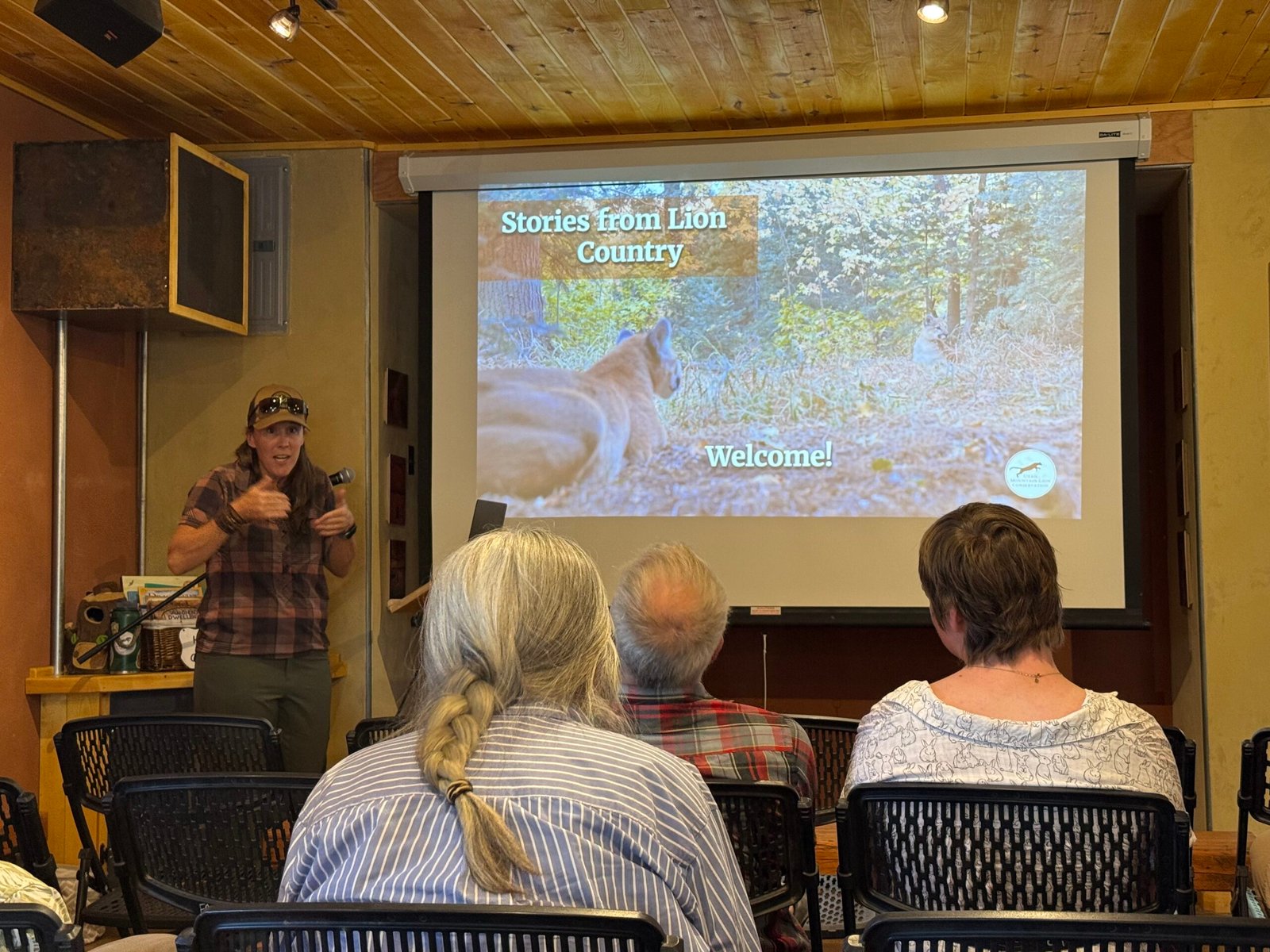
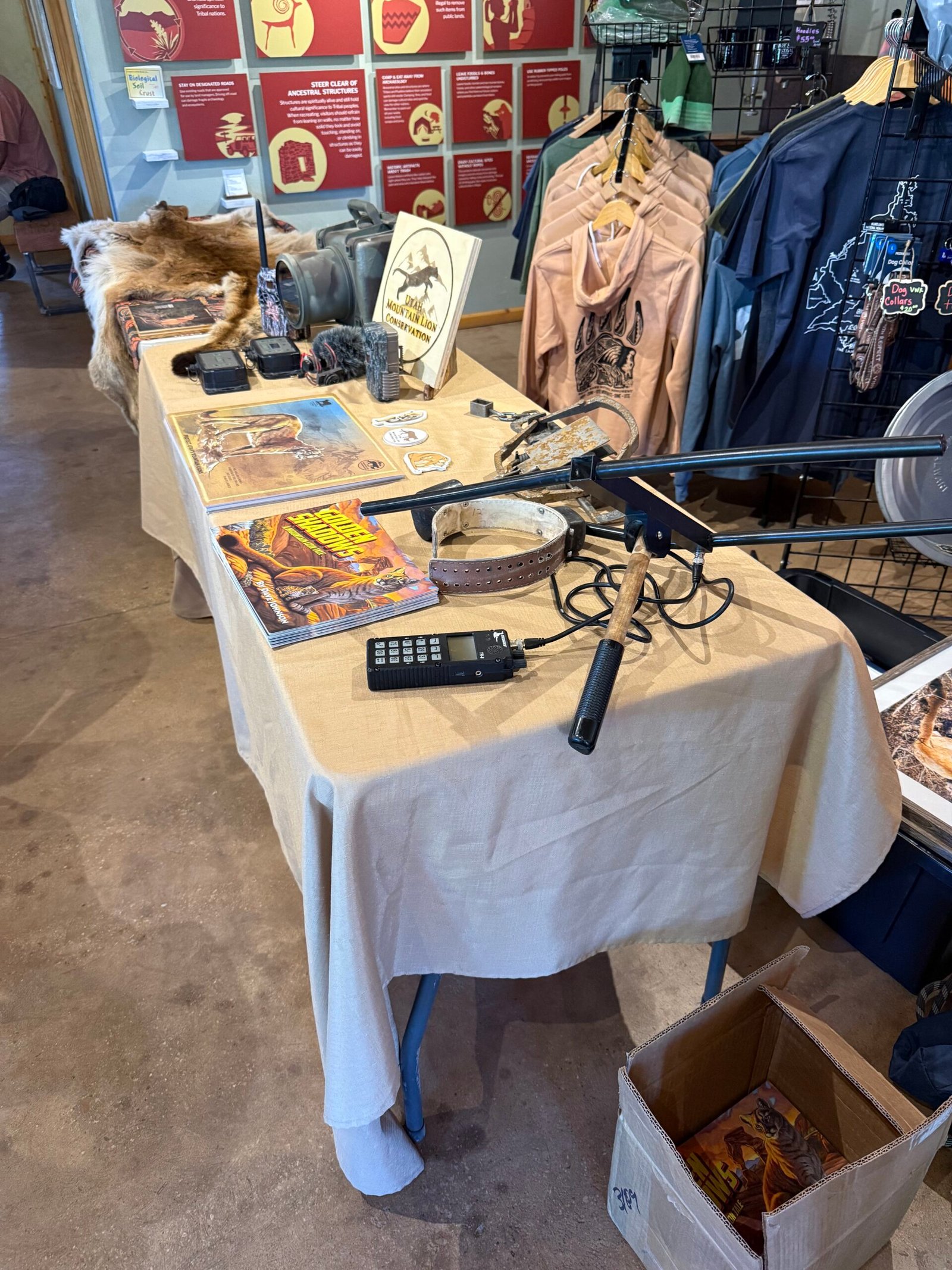
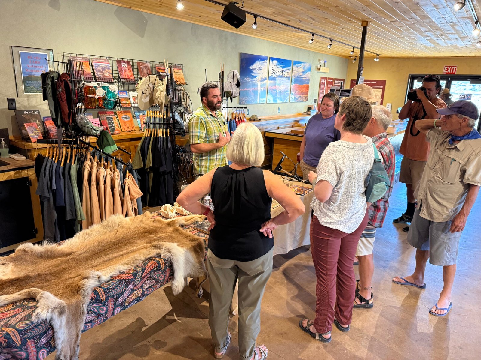
    Tonight there was a talk on mountain lions. Denise Peterson, and her husband David have spent countless hours backcountry researching them as founders of Utah Mountain Lion Conservation, literally moving to Utah just for the opportunity to study them. Their passion is evident.

    Having over 40 mountain lion encounters under her belt, including moms guarding their kittens, Denise is a wealth of knowledge on their behavior. And she sums up any encounter with two points:

    1. Understand what the mountain lion is trying to tell you, and
    2. Formulate your response accordingly

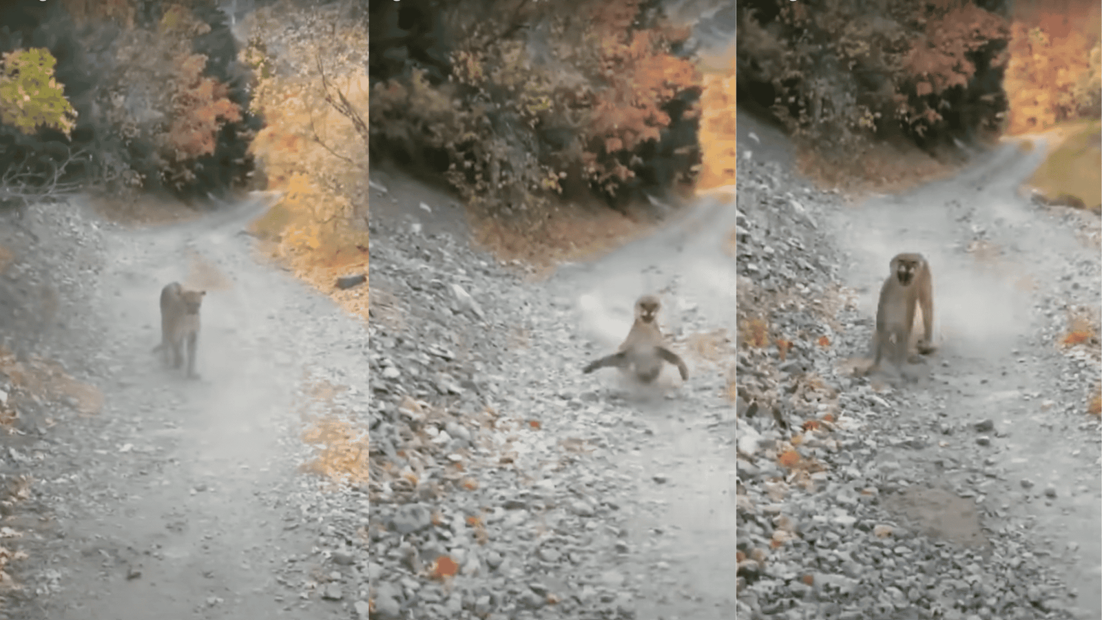
    For example, if a big cat is actually stalking you, you want to be big and scary. But with an agitated mom protecting her cubs, you have to deescalate. She showed us bits of the (in)famous clip of the Kyle Burgess encounter where, over the course of 7 minutes, he continually moved down the trail trying to get away from a mother with cubs.

    According to Denise, the cat has raised her front paws repeatedly and is telling Kyle to go away. But his focus on videoing the encounter just kept the pressure on her. When he finally picked up a rock and tossed it, she turned and ran back to her cubs.

    Denise even called Kyle to talk about it. Because the stigma of scary animals has profound consequences, both in the wild and politically. Denise discussed how the State of Utah, in a last-minute rider on legislation, passed a resolution paying hunters and trappers to exterminate mountain lions by any means necessary in several hunting units. Snares, traps, and guns, kittens as well as adults. Deemed a “study,” it is to “investigate” how removing the predators might affect the ungulate population. There is no serious science behind this, and of course once the mountain lions are gone they’re not coming back anytime soon. We seem to treat anything other than “us” with great contempt. Back east, I’ve heard folks say that the declining turkey population is due to raccoons and possums eating their eggs. A little research on my part shows that most biologists believe it is much more likely to be habitat loss, probably due to development.

    CWD, or Chronic Wasting Disease, has become a significant problem in the west for deer and elk, and it is moving eastward. The disease is not viral or bacterial, it’s actually a protein called a prion that is malformed, and its presence causes others to fold the same way. The animals just get weaker and weaker and in a couple of years they die, it’s 100% fatal. Meanwhile, while infected, they are spreading the prions around in the soil where they congregate. The prions can last for decades in the soil and are very resistant to decay, boiling the meat has no effect.

    As it turns out, initial research shows that mountain lions and wolves that feed on the infected carrion can greatly reduce, maybe by over 95%, the amount of the CWD prions that make it into the soil. Mountain lions and wolves go for the easier, weaker targets, thereby boosting the herd’s overall health. As a hunter, would you go for a sick or ailing deer or elk? Or would you avoid it because of the tainted meat or emaciated look?

    It’s something to think about. Denise’s argument is that it will be impossible to do a study of the effects of the predators if their populations are too low to begin with.

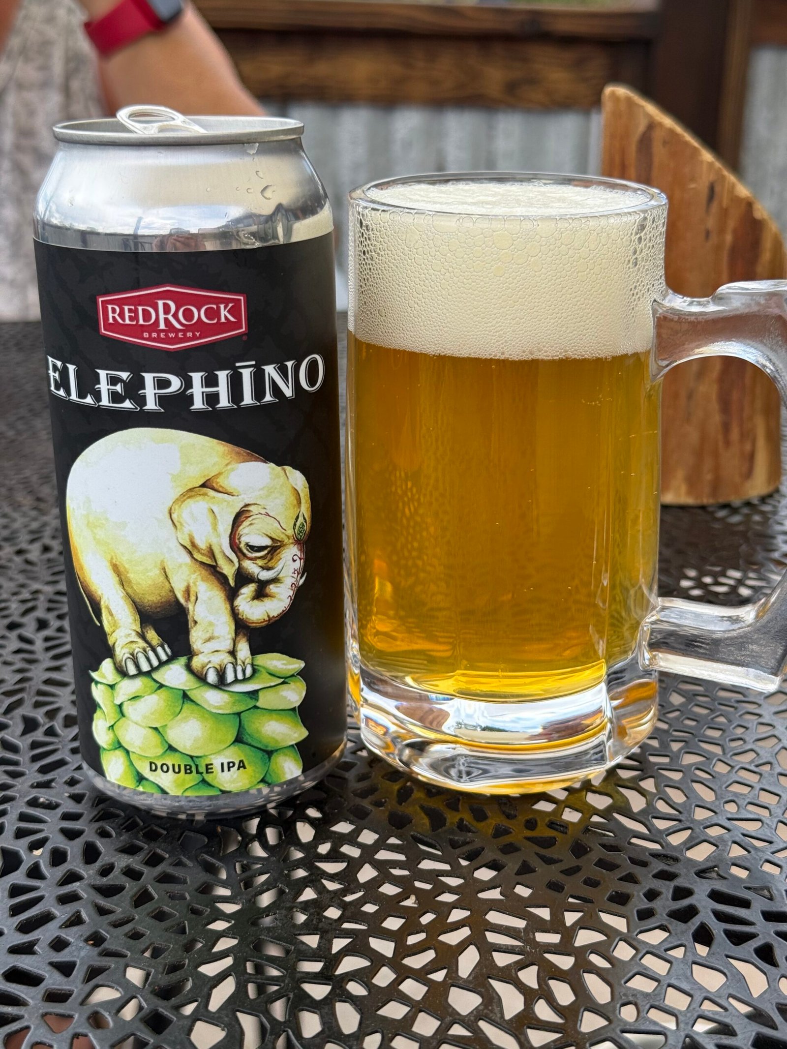
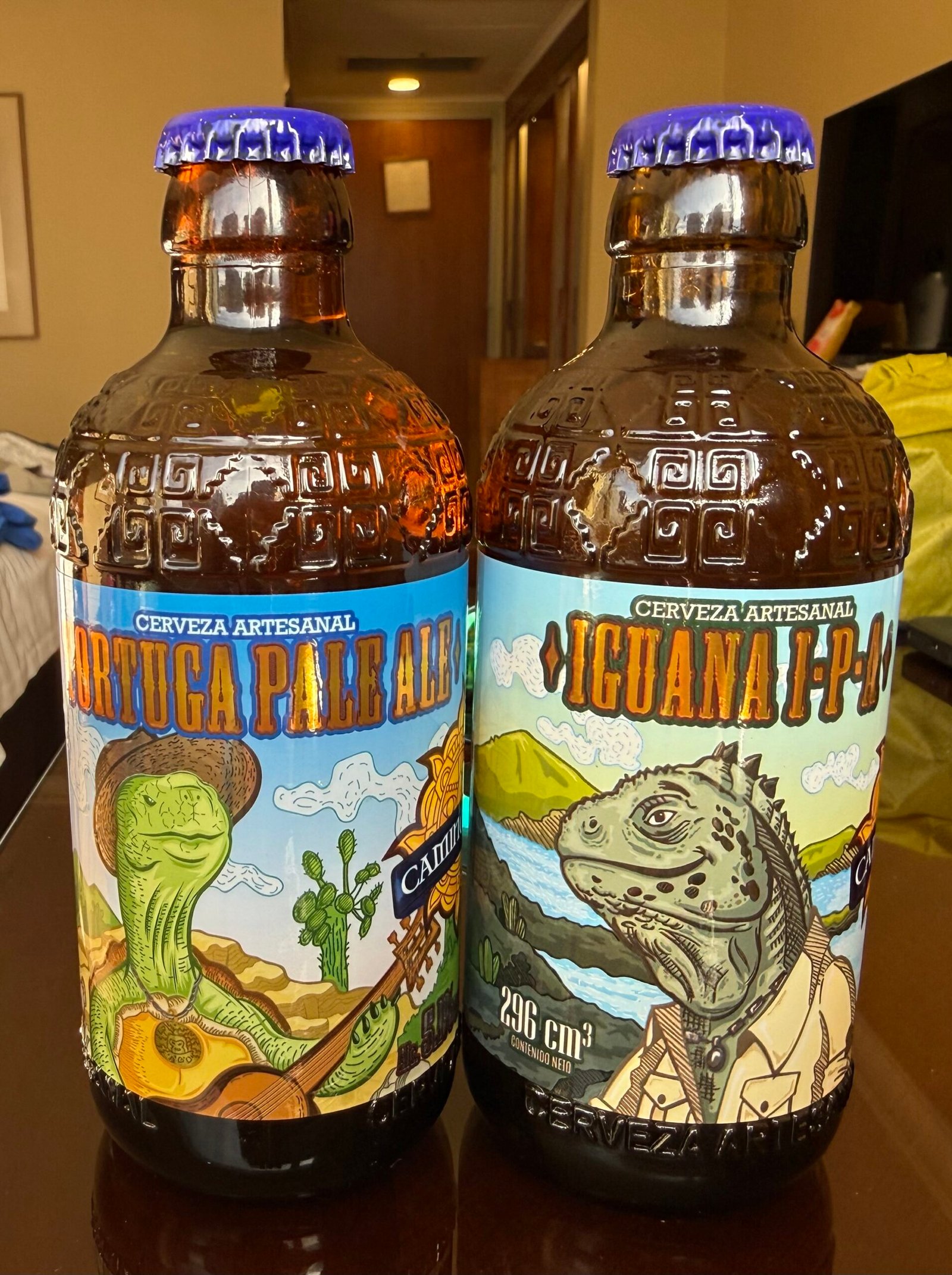
    It was an excellent talk and we were glad we were able to attend. Later in the evening, several of the BEEC staff, volunteers, and even the Bluff mayor congregated around a picnic table in the courtyard and we just had a great time talking and laughing. I even recited poetry found on my beer can…


    The next night I tested the setup and operation of one of the portable computer-controlled telescopes on Carmen and Patricia before our big night at Natural Bridges. It all went pretty well I think. I recounted how Messier, in the 1700’s had discovered smudges in the sky that did not look like stars, and had compiled a table of them. Today, known as Messier objects, or “M” objects, they tend to represent the visual limits of most amateur telescopes. These “smudges” can be distant galaxies, planetary nebulae, or clusters of stars that no one could discern back in the day. What would Messier have thought if he found out that his M65 was in fact a smudge of three galaxies close together (now known as the Leo Triplet) and comprised of over 3,000,000,000 stars?

    After I had shown them that I could easily navigate to a few smudges, we called it a night.

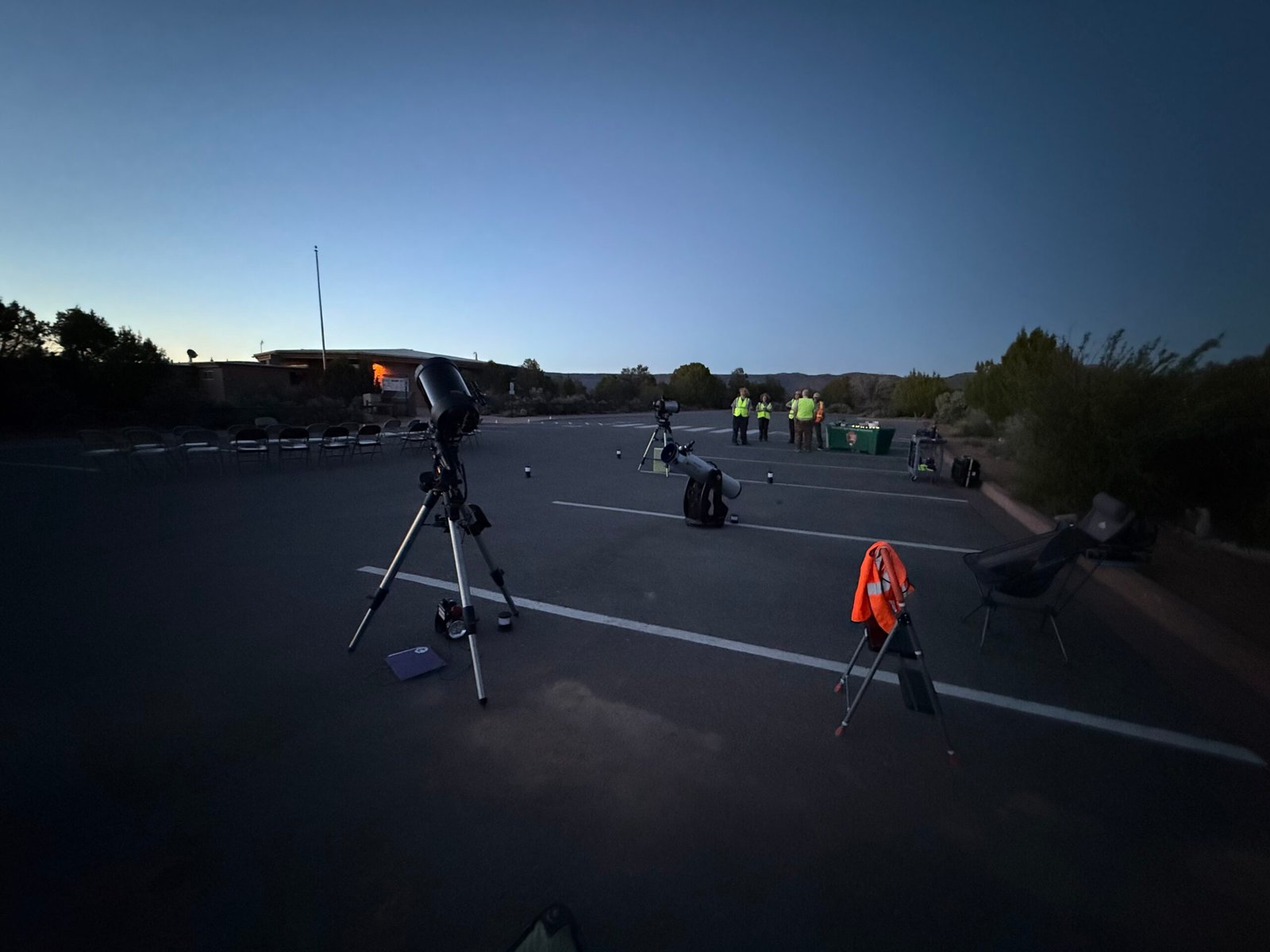
    Arriving at Natural Bridges the next evening, the rangers were just beginning to set up. They were in the process of getting AstroFest up and going after a few years of largesse and had asked Sarah and the BEP for help. With three telescopes, we were ready for the night.

    Carmen greeted someone from across the parking lot. I recognized that it was Matty! On our first day last year he had rolled into our camp area in his camper van to use the BEEC shower. An avid trail runner and rock climber, he had just traded a successful corporate life for a life helping others connect with the land. At about 6’4″, built like a lumberjack, with rasta hair and pink toenails, he is a commanding presence. Coming across the parking lot he saw us and came over. “You are…Jeff, right? And you are Pat?” Wow, we had only met briefly that one day last year! We talked for a bit and then I asked him, “How do you know Carmen?”

    “Who doesn’t know Carmen?” he answered matter-of-factly.

    On a scale of 1 to 10 for dark skies, Antartica is a 1, the darkest sky on our planet. Natural Bridges is a 2, and this was becoming apparent as the sun glow receded. While it was getting dark, a little poetry was read, and there was some Q&A discussion on the night sky with the group. Matty asked Sarah how many stars were in a galaxy? “Billions.” And how many galaxies there were? “Billions.”

    Unlike Chesterton’s logician, Matty was happy to just get his head into the heavens.

    And then, just before the small crowd was released to look through the telescopes, Sarah gave a “constellation walk.” With her mega-laser pointer that literally seemed to reach the very stars, she used the entire universe as her planetarium, and it was amazing. I loved it, and accused her of vaporizing at least a dozen stars with that laser. But hey, there are billions and billions… Know who said that?

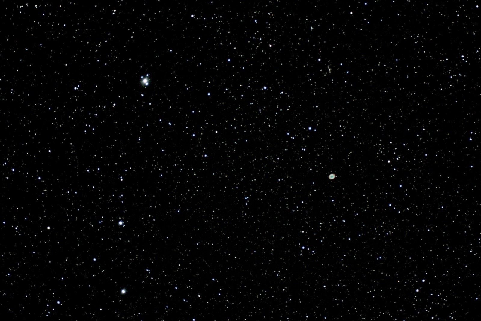
    With a good polar alignment, the “little” Celestron was pretty happy finding objects and the smudges were quite a bit more distinct than last night. Probably the best find was the Ring Nebula. Like a ghost, to look at it directly through the eyepiece was to make it disappear. One had to look around it and use peripheral vision. Doing this would make it jump out and you could hear people gasp as they found it.

    One ranger had their telescope on Jupiter. Matty asked, “How far away is Jupiter?”

    “4.9 Astronomical Units,” the ranger replied. Yeah, I thought, that answer’s not gonna fly….

    “What’s an Astronomical Unit?” Matty responded immediately…

    The night sky is now crawling with satellites, an increase from around 4,500 in 1984 to over 13,000 satellites today. So much has changed in 40 years! With SpaceX recently garnering approval from the FAA to launch over 1,000,000, what will it be like in another 40?


    We rolled back into the BEEC around 1am and were able to get about three hours sleep before heading east and home! We decided to push pretty hard and see if we could make it in two nights.

    Picking up US highway 160, we followed it east into the sunrise and across Colorado. Such a beautiful drive! And the only time I’ve ever used the spare gas can — I hadn’t planned on climbing to nearly 11,000 feet at Wolf Pass on the way to Alamosa.

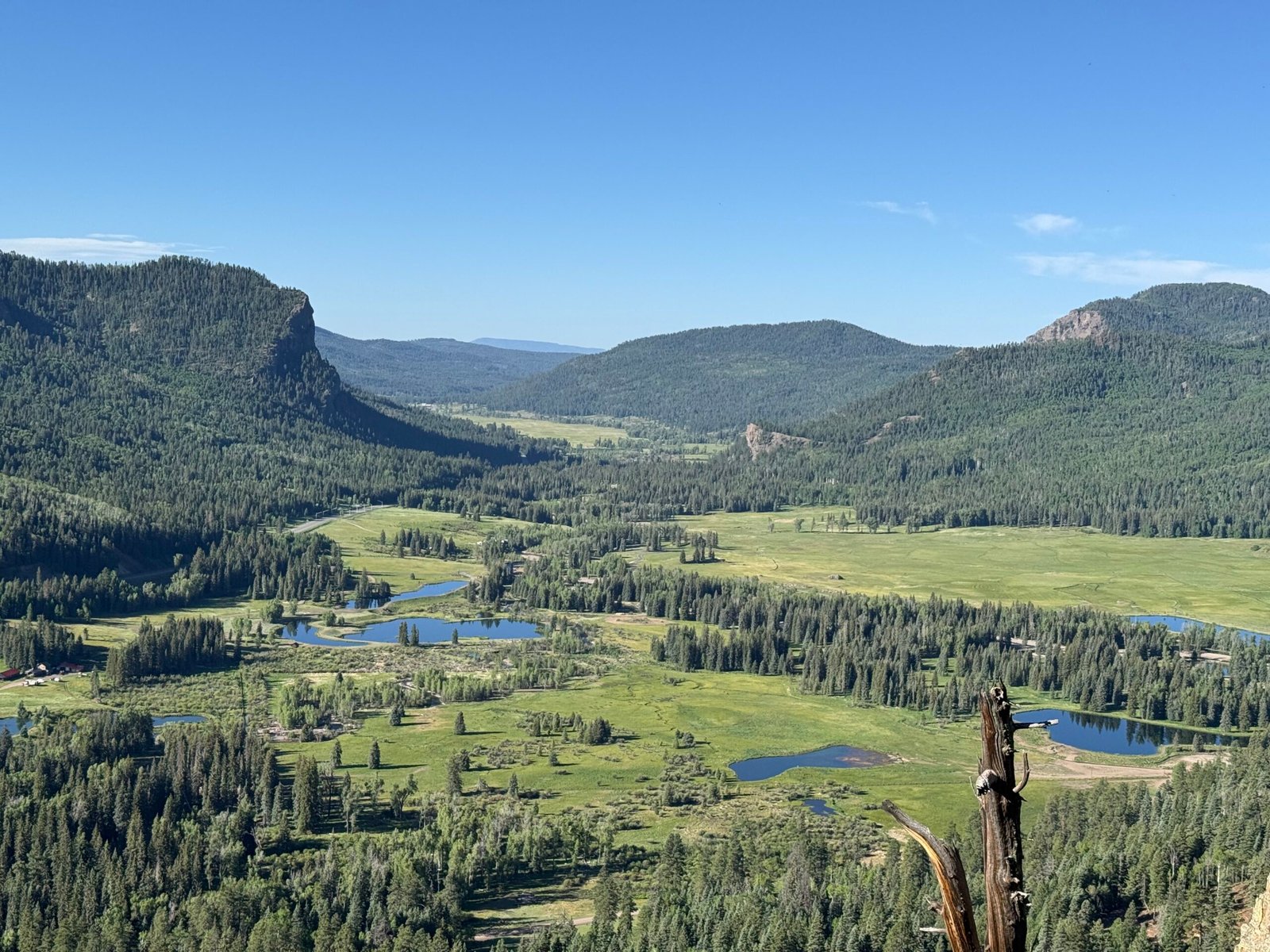
    Wolf Creek Valley Overlook. A good stop to refill…

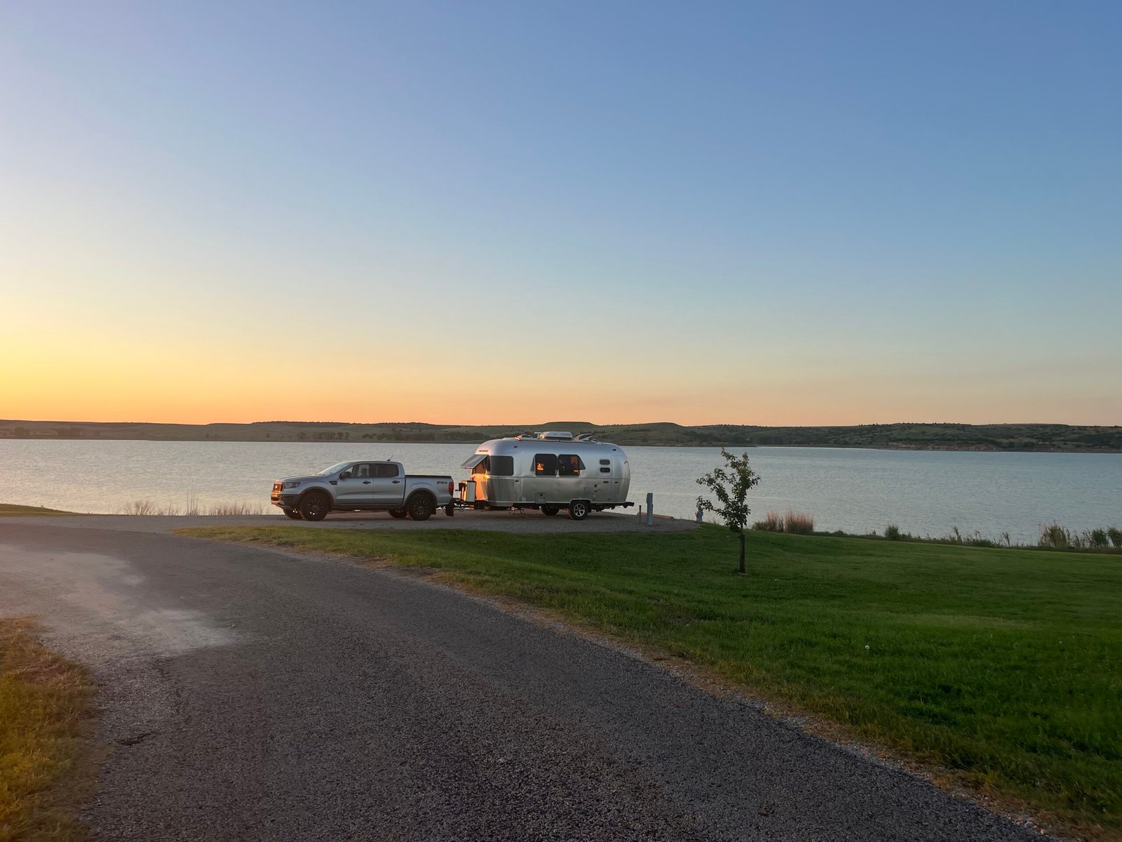
    Crossing I-25, we angled northeast up through Rocky Ford, Kit Carson, and Cheyenne Wells before reaching I-70 at Oakley, Kansas. A Hail Mary of a day, we wrapped up 750 miles with a sweet spot on Wilson Lake. I had even driven by the Sternberg Museum in Hays without stopping, and that was hard to do! We had decided to take the fastest route, even willing to pay the bogus Kansas turnpike toll if it helped. And actually, up until this point, the driving was pretty lovely.

    Upon reaching Topeka the next day, things got hard. They were adding lanes to I-70 and there was a concrete barrier literally within 6 inches of the white line on the left. And the right-hand lane was straddling the rumble strip and up against the guard rail, claiming the battered emergency lane. It was tough to stay right, it was rough and I was concerned I’d blow a tire. But the left lane was intimidating. There were passenger cars not willing to squeeze into the “slot canyon” between the bouncy trucks and that concrete barrier on the left. And this went on for miles.

    Timidity can be as dangerous as recklessness at times.

    Getting through Kansas City, I’m down to 12 miles of fuel left. A sign showing conveniences indicates two gas stations. But after exiting into the big, busy intersection, new signage shows that they’re both left across the interstate, one is over a mile away? Nope, not in this traffic, it will be a half-an-hour of pain. I roll on through, hoping just to pop back on the interstate and find something further down the highway.

    But we end up in a Walmart parking lot and it’s crowded. I swing around to their fuel pumps on the far side, but there are cars everywhere and it is tight. Seeing a way to do a “U” through the pumps, I pull in.

    People are parked all over the place. In front of our truck, and along the edge of the parking area there is an old truck with a camper top, packed with lots of stuff. An older man, probably the truck owner, and a younger man are having a conversation.

    I try my debit card at the Murphy pump. I’m presented with a list of 4 choices on what type of savings and tremendous deals I might want. I find “skip” and move onto the next screen, which is a big paragraph without any noticeable way to advance. Nothing on the 8 buttons to tell me what to do next. And it won’t give me my card. I hit cancel a few times on the keypad and get my card. I try it again but get the same result.

    I hear a voice being raised and I see that the older man is getting louder. The other guy is still talking quietly.

    The pump supports contactless payments so I grab my iPhone. I go through the same process but can’t advance, stuck at the big paragraph. I know if I cancel I’ll be kicked out, so I try enter. Again nothing happens. A notification on my phone indicates that a transaction of $0.17 occurred somewhere in the process.

    Now the older guy is yelling at the other guy. He’s waving his arms and telling hime to “get the f— away!” over and over. I’m wondering why they just don’t walk away from each other.

    I’m outta here, we’ll find gas somewhere else. As I begin to pull out I see that a police car is now in the parking lot and the officer is watching the two men. Working across the four lane to the short on-ramp, we hear sirens and see two more police cars en route. Probably got out of there just in time. Why couldn’t they just walk away from each other?

    Merging back onto I-70, I’m looking for a more friendly exit. Apple Maps has inexplicably locked my location to the service road running parallel to I-70 on the north side and is desperately trying to get me to take the overpass and get back on the interstate like I should be! Technology can be exhausting.

    I thought that when we got past the city center things would lighten up. But there is no city center, it’s just sprawl. The signs for each exit listing conveniences are all copies of the previous one. They all show the same brands of fuel, food, and accommodations. As we continue moving, I look up and to my right as the next exit ramps up to the big intersection at the overpass. Its two exit lanes are joined by two more, and I see a young man off to the side with his makeshift cardboard sign, trying to make eye contact with whoever might dare look his way. Another young man passes me on the left in a small car. One hand on the wheel, one hand holding his phone to his face, he’s probably doing 80.

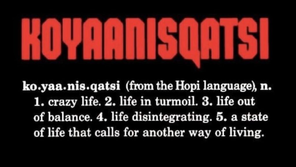
    All I can think of is the documentary koyannisqatsi.

    Living a life that requires a different way of living.

    Pulling off at a Petro with two miles left in the tank, there was not a single vehicle in a dozen bays. We re-evaluated the route and found that for an extra 15 minutes, we could take secondary roads and avoid the interstate and the bogus turnpike toll. Screw the toll.

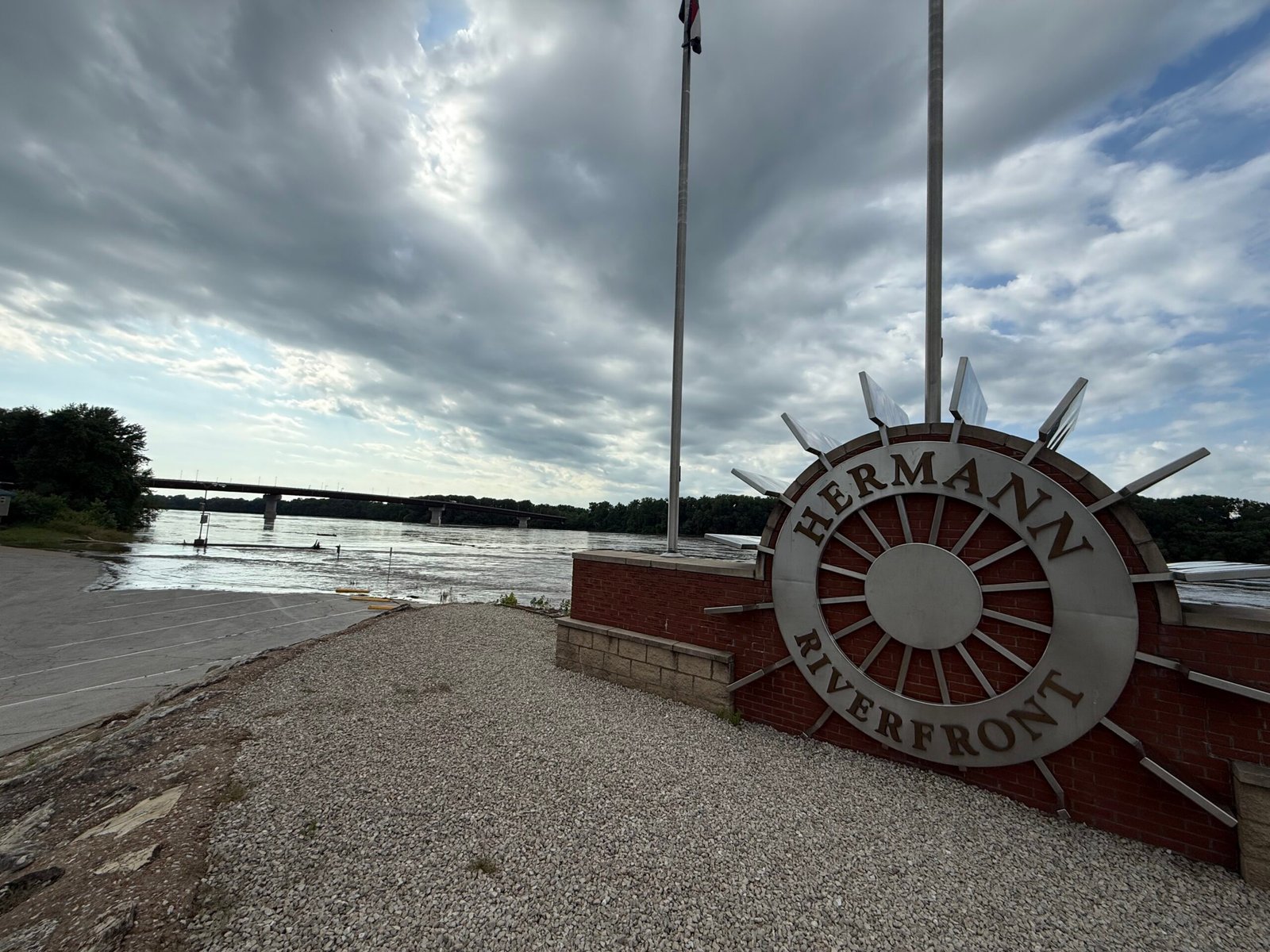
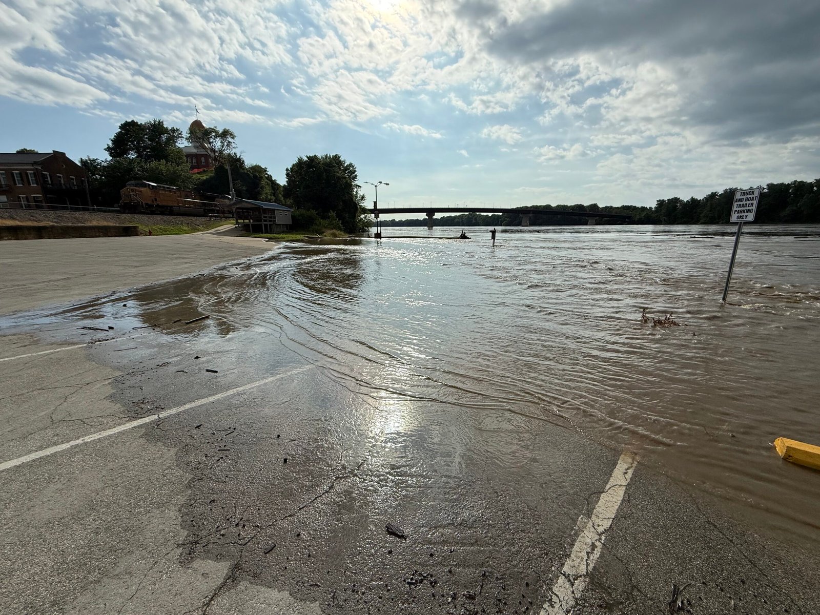
    And the road was lovely all the way to Hermann, Missouri. An old German enclave, it sits on the banks of the Missouri River and has a nice feel to it. This is our second time here at the city park, and tonight we enjoyed a pleasant evening. The park had warned us we might need to move quickly if the water rose, but with the truck still attached, we were ready. Riverside, we watched an Amtrak train roll in and out. The Big Muddy was out of her banks, and I couldn’t believe the number of logs and branches drifting by.

    In our many travels, we seem to be blessed with our timing. I practice what I call coyote mode, which is to bed down when people are out and about, and travel when they are not. It doesn’t always work, but we were able to get on the east side of St. Louis just before peak morning rush hour. The westbound into the city was already backed up a long way. Swinging over to I-24, there was once again lots of construction, but not as bad. Our timing was good through Nashville, reaching it just after lunch hour.

    I parked Ooo Shiny in the driveway with a plan to give it a much needed wash and make her shiny again before putting her back in the barn. That night a strong thunderstorm rolled through and we listened to the lightning crack, the thunder roll, and the wind in the trees. Our first rain in over 50 days I think. A good soak before the big bath.

    We’re home. Memories and emotions rapid-fire for the next few days. We pray for blessings to all of you that we met, until we meet again.

  • Escalante

    Escalante

    #8 of  the series.

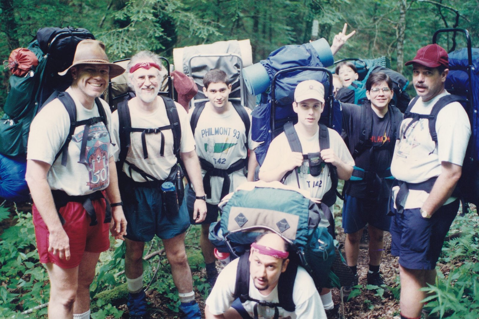
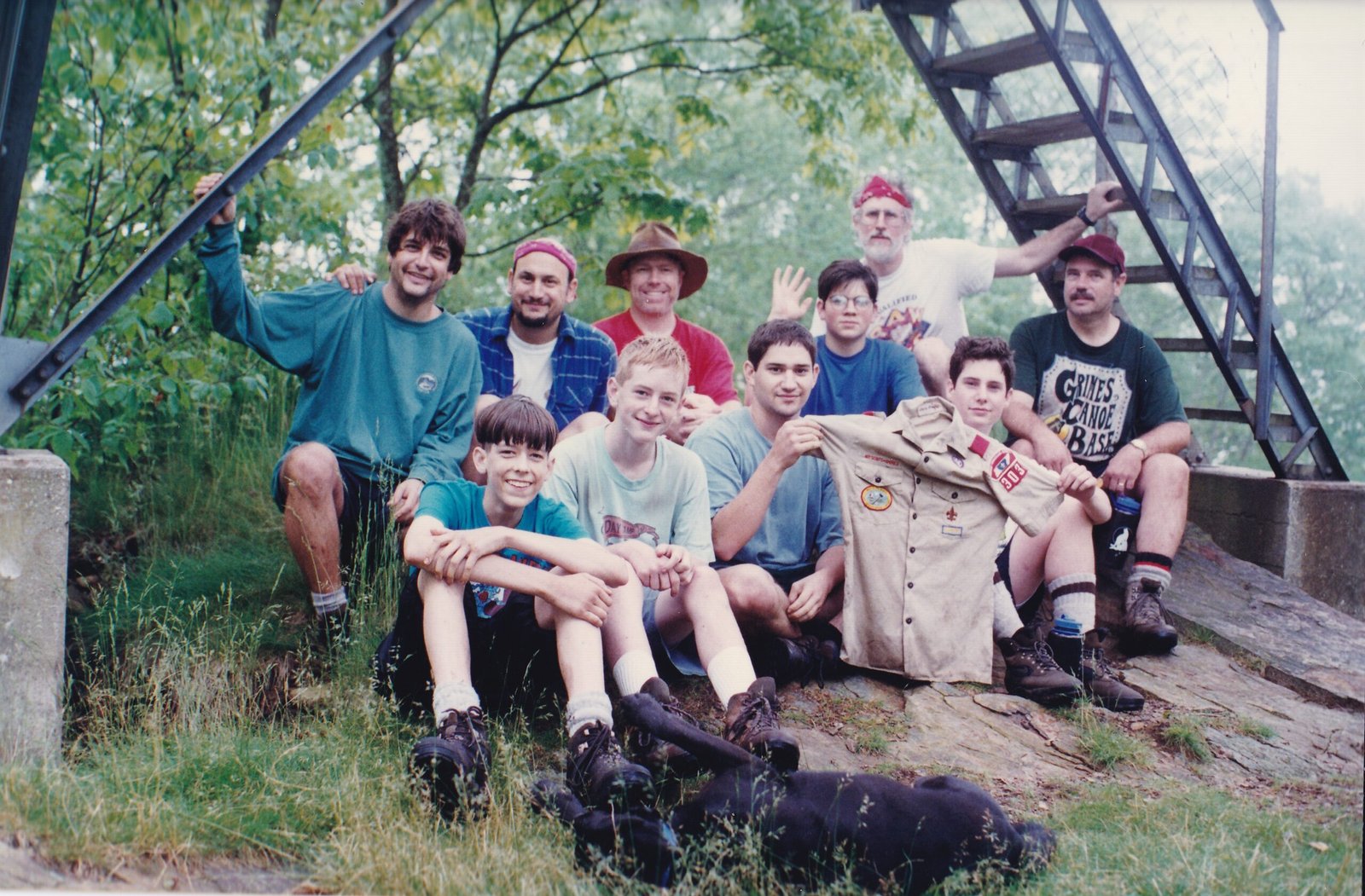
    “Clear and copious!” bellowed the colonel to his troops. Well, they weren’t actually his troops. But he was accompanying his son on Boy Scout Troop 142’s assault of Standing Indian Mountain in North Carolina.

    My good friend Bob, also accompanying his son Jon, had invited me and Cinder the Wonder Dog along for the multi-day trip. Cinder was always about the outdoors and to leave her behind would be heartbreaking, so I made sure I cleared it with Scout Master Ralph first.

    This section of the Appalachian Trail is unique in that it circumnavigates the headwaters of the Nantahala River, the high ridge creating a nearly complete wagon wheel around the watershed with Standing Indian campground at the hub. About 35 miles in length, it provides several opportunities to loop out of the hub up one of the ‘spokes’ and come back to the vehicle.

    Our trip had started at Deep Gap and we were a couple of miles in, climbing our way to the Standing Indian peak. It was summertime, and the temperature and the humidity were pretty much the same value, 90.

    The colonel had taken the Boy Scout motto to heart, resulting in a crushingly heavy backpack. By the end of the second mile (it’s called “Deep Gap” for a reason), he was red-faced, sweating bullets, and having some knee trouble. A decision was made and the adults divvied up a few of his items to lighten the load. This must have been a humbling experience for an Air Force colonel, but he was a pretty good joe and he took it well.

    Humility is the virtue of the world. And possibly its salvation.

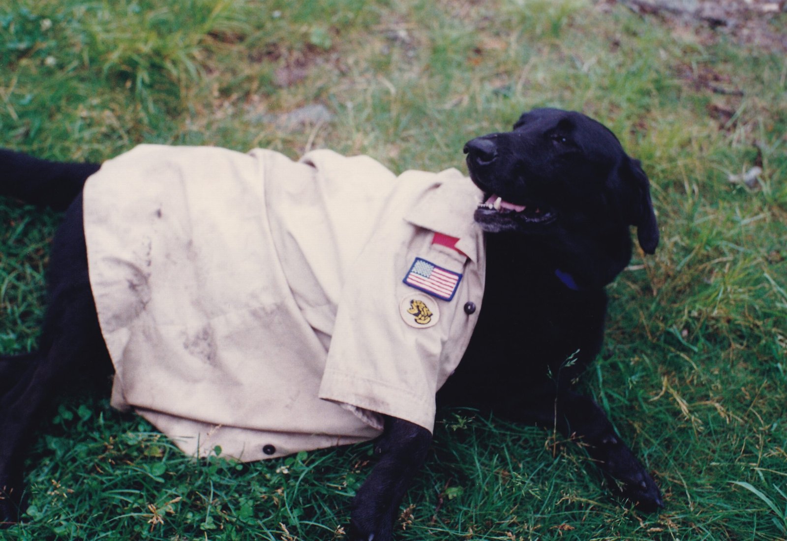
    The trip was both difficult and awesome, Albert Mountain never disappoints. Jon and the other boys found a rival scout troop member’s shirt on the trail and had much fun taking pictures of it in various places along the way. Cinder was even honored with a cameo role. During a raging thunderstorm one night, Bob beckoned Cinder out of the vestibule and into his tent where she lay meekly between us, shaking us both throughout the storm. She really hated thunderstorms.


    This flashback occurred because we were now in the Escalante – Grand Staircase National Monument. We had extended our stay in Utah a few days so that I could support the BEP with a couple of AstroFest Dark Sky events that both Canyonlands National Park and Natural Bridges National Monument had invited them to attend. While I will discuss this more in my next post, the extension was filling up our personal schedule, but I felt I could really help them with their telescopes, and it looked like so much fun!

    Escalante was named at the suggestion of John Wesley Powell to honor Silvestre Velez de Escalante, a Franciscan missionary. The name means “ladder” in Spanish and is fitting for the area, as the Escalante-Grand Staircase National Monument, comprising nearly 2 million acres, steps its way down to the Grand Canyon. With place names in the area including Death Hollow, The Box, Devil’s Garden, Burning Hills, Death Ridge, Carcass Canyon, Scorpion Canyon, and Spooky Gulch, maybe one should pay attention here.

    Brandon has spent a couple of decades roaming around Escalante-Grand Staircase and suggested we spend a few days here. About five hours to the west of Bluff, the elevation is higher and there is actually flowing water in many of the canyons, so it’s a popular backpacking destination. So we booked three nights at Escalante Petrified Forest State Park and set out to do some of his recommendations.

    “I don’t like this road,” Patricia said quietly.

    “I can tell by the way you are wadded up in a ball and hanging onto both grab handles. You know that won’t make much difference if I run off the road, right?”

    “Well, it makes me feel better.”

    “I could look in the back for a blankey.”

    “If I had a blankey, I would get it!”

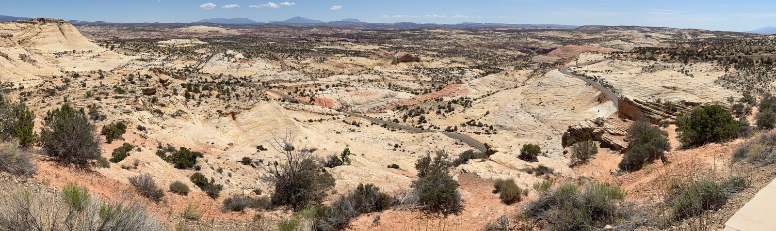
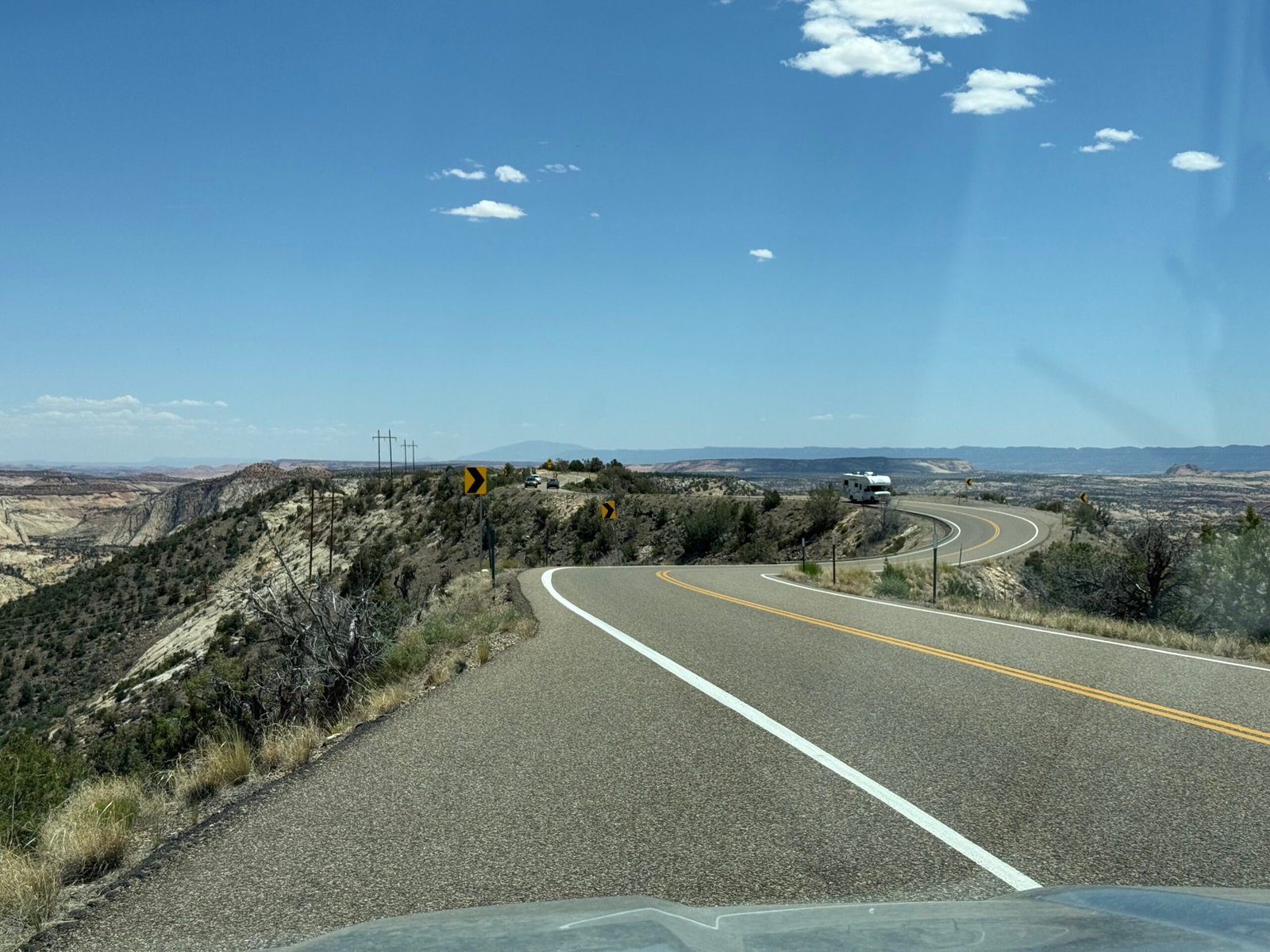
    And such was our first trip down Hogback Ridge on Utah’s highway 12, an incredibly scenic road that climbs to over 9,000 feet and skirts the eastern edge of Boulder Mountain. We had traveled down Fry Canyon and traversed Capitol Reef National Park, amazed at the changes in the landscape. But when you hit the Navajo Sandstone of the Southwest (an estimated 230,000 square miles of exposed solid rock) it just gets pretty crazy.

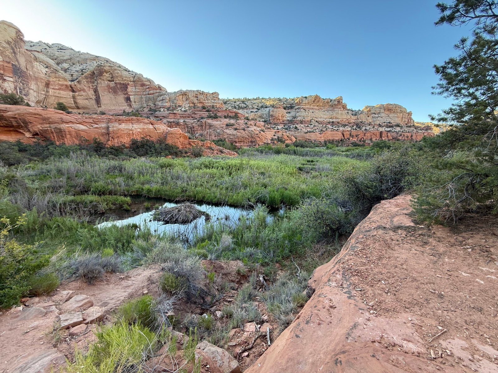
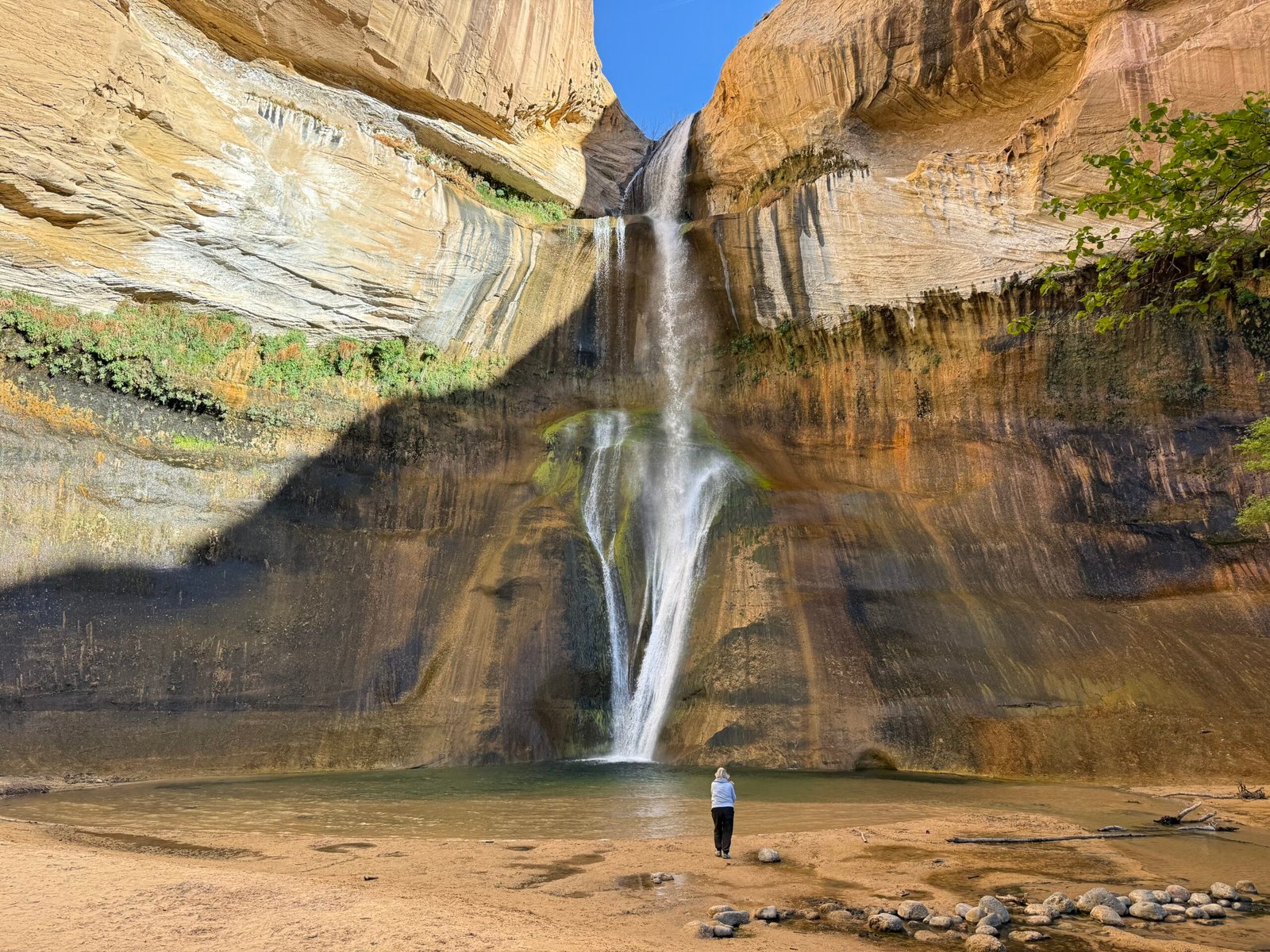
    Our first hike was to Lower Calf Creek Falls, a popular 6-miler up the canyon from the Escalante River. Brandon had warned us to get there early because of the crowds, and we had the parking lot to ourselves at 7:30am. It was a beautiful canyon, with the creek carving out the sandstone and creating, with the help of a few industrious beavers, quite an oasis of birds, deer, and fish, including trout.

    I’ve heard it said that if you have great soil, you can probably thank a beaver. And I believe this to be true. Generations and generations of beavers altering the landscape. Even while millions were hunted and trapped almost to extinction for European hats, we have been blessed with the alluvial soils they’ve left behind while we yet curse the problems they cause us with their comeback.

    Along the way we realized that the sheer rock face on the far side was actually Hogback Ridge, and you could catch glimpses of the road markers along the spine (there are no guard rails as they are a distraction to the effect, and Patricia had the full experience on the passenger side the previous day).

    The sandstone is playful, forming all sorts of shapes. In The Secret Knowledge of Water, Craig Childs talks about how for decades geologists considered temperature change, wind, and freeze/thaw cycles to be the primary erosion mechanism in these desert places. But they’ve come around to realizing that it’s the flash flooding that really does the carving. When you add silt and grit to the power of rushing water, serious things happen…fast. In fact, he mentions that the indigenous that lived and live here, are not so worried about drought, they’re worried about flash floods that sweep whole communities away!

    “Wow, that’s a Holy rock!” Patricia says.

    “What makes it Holy?” I ask, intrigued at the concept.

    “Well, it has holes in it.”

    Ah, a holey rock. I think sometimes (most of the time) I try to read too much into things…

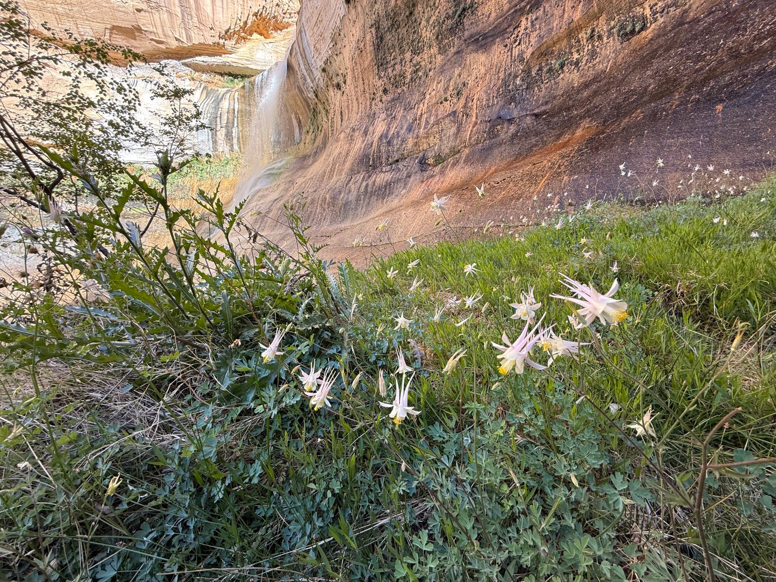
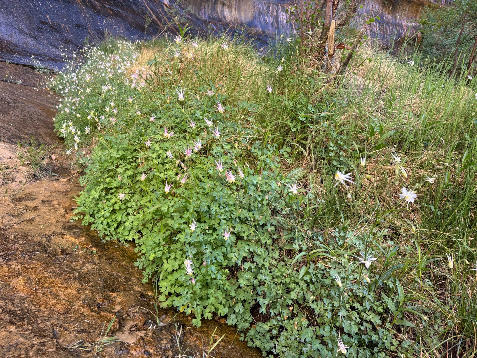
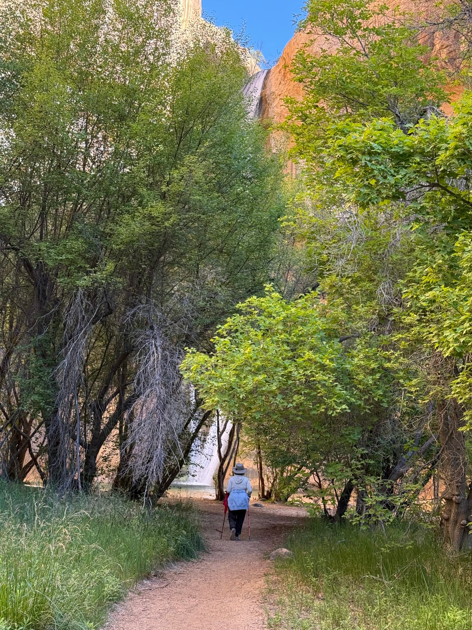
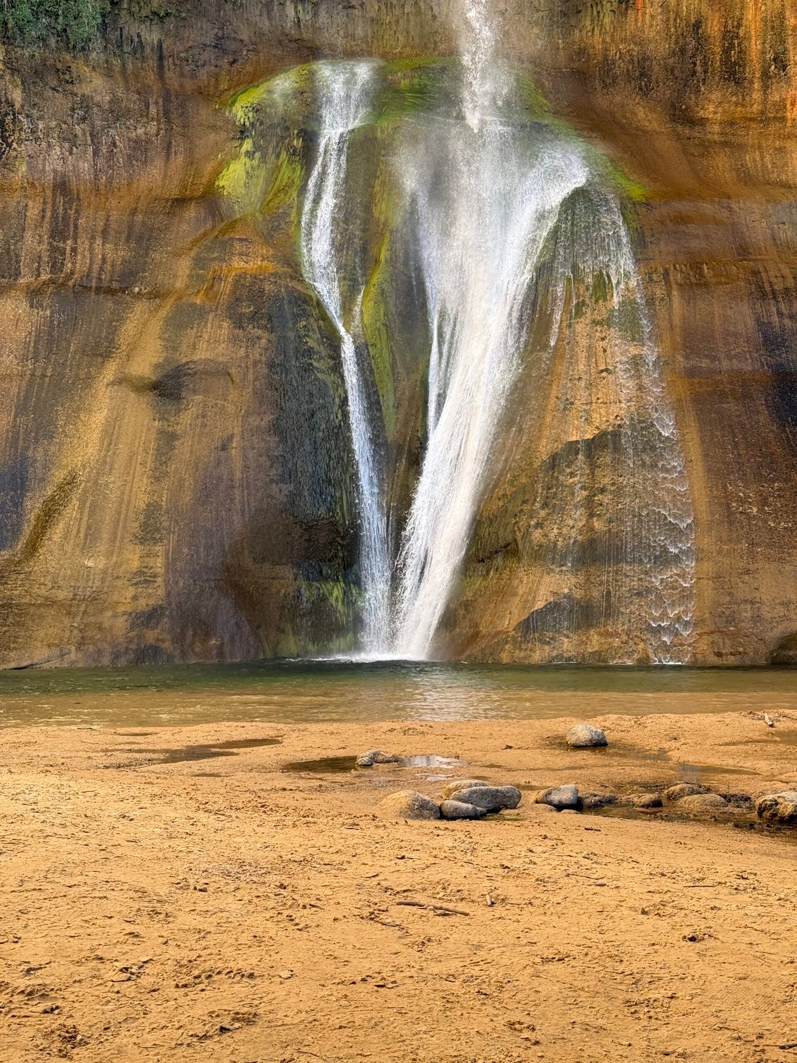
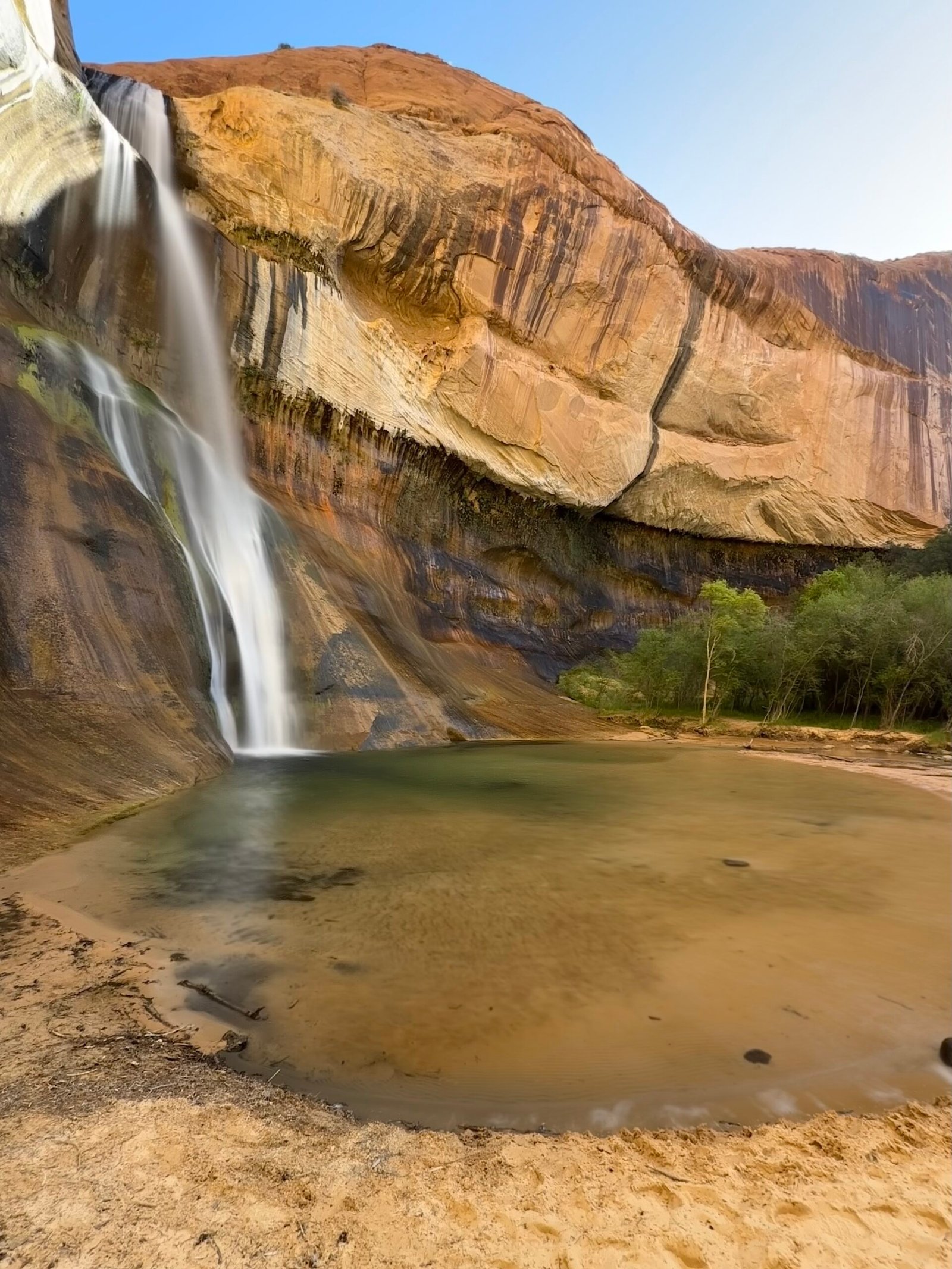
    We had the falls to ourselves for a little while, and it was stunning. A blue hole with a sand surround, trout darting about, alcove columbine blooming all along the far side. Nice and cool.

    Another couple joined us in a few minutes, and then we started heading back. A few more folks came along, and then a few more. The sun was fully shining on the trail side of the creek and it was warming up fast. About a mile from the truck we met a group of 30 or more, and by the time we had reached the parking lot at 10:30am it was full and the overflow area was beginning to fill in. Patricia had counted 100 people on our way out. Most had short sleeves, or no sleeves, shorts, and not much water.

    Since it was only 10:30, maybe we should drive the Hogback to the Upper Calf Creek Falls trailhead and visit it as well? Brandon had mentioned it was a short hike, and that the pools above the falls were pretty amazing. So another run up the ridge to a little dirt side road with no sign. The dirt parking area was a couple of hundred yards off the highway and not a single car was in sight! We found the trailhead kiosk and signed the register.

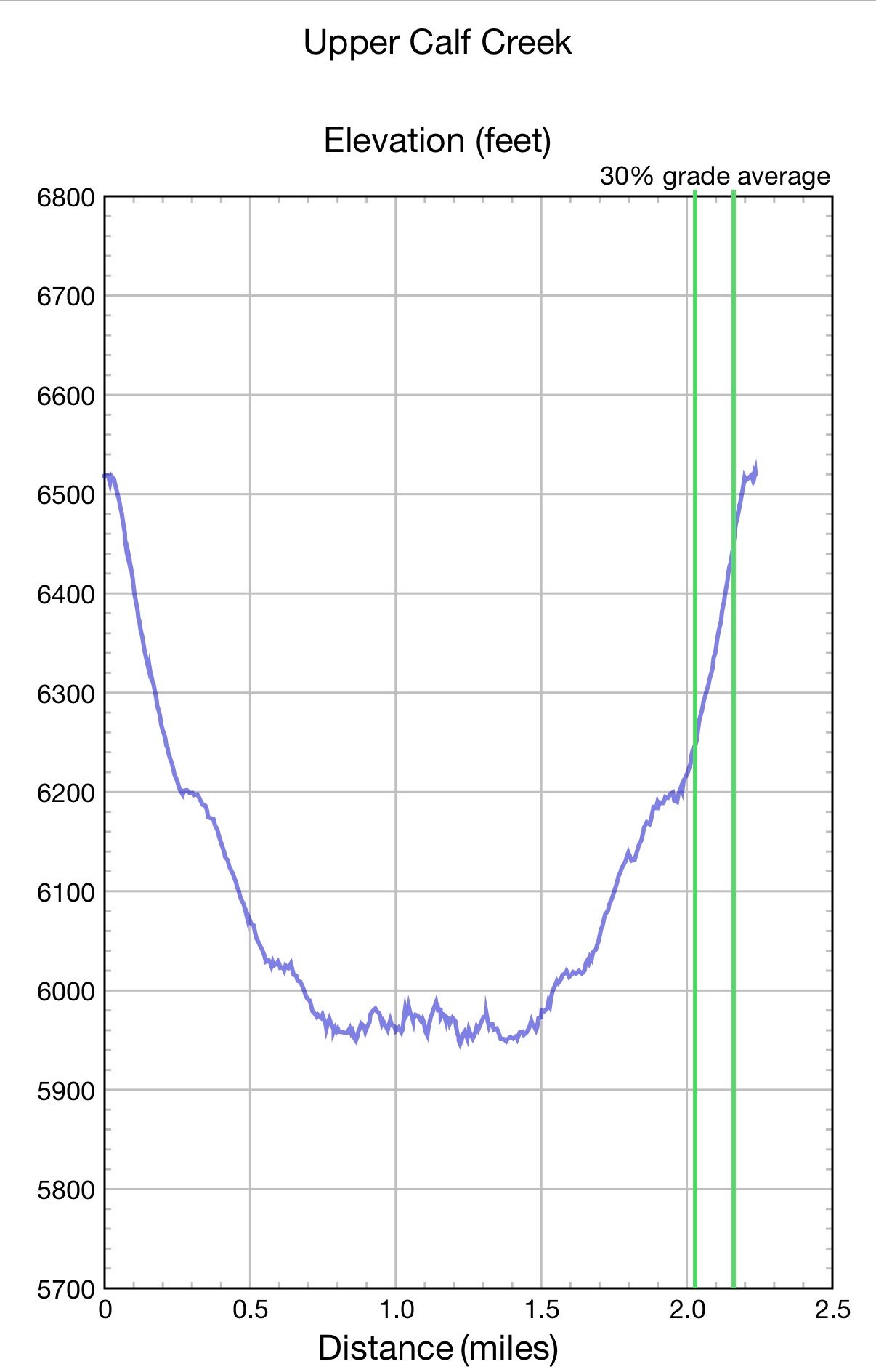
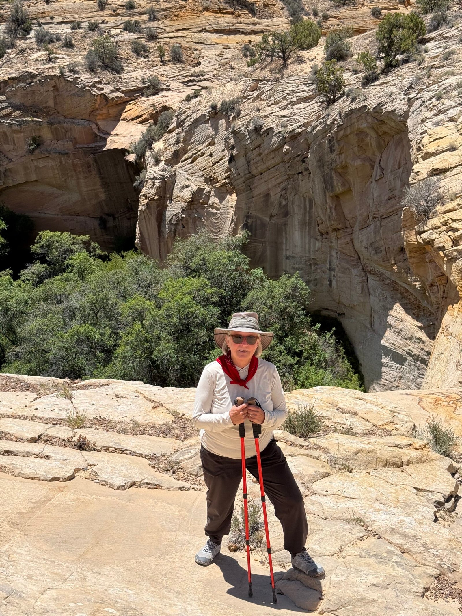
    For some reason my mind mixed up the elevation profile for this 2-mile round trip with another hike down on the Escalante river. And even though it was pretty obvious that it was not going to be a level hike, my brain just wouldn’t let it go. And Ffej must have really wanted to check out those pools!

    “Are we going down there?” Patricia asked. “Well, I think it’s supposed to be pretty level and it’s only a mile to the top of the falls,” I replied.

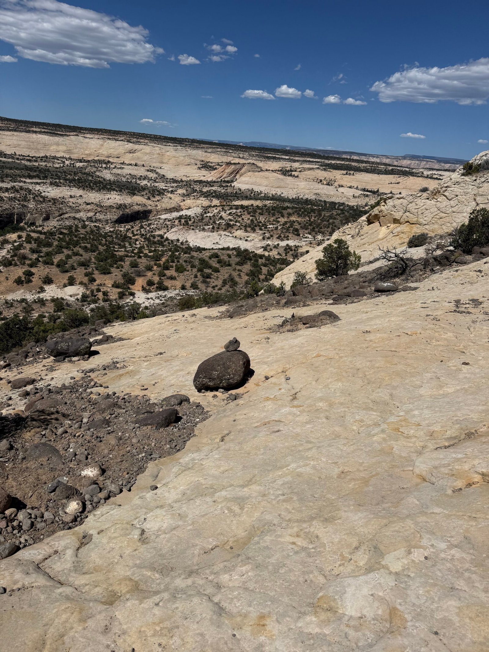
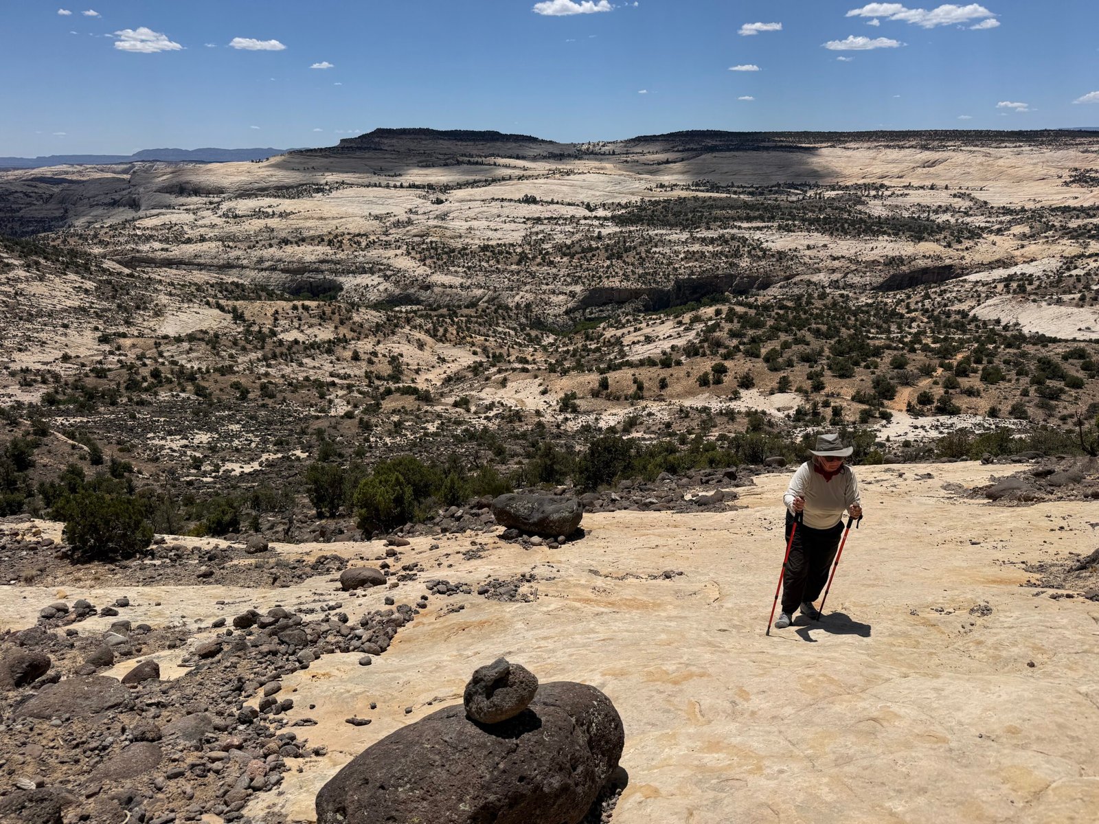
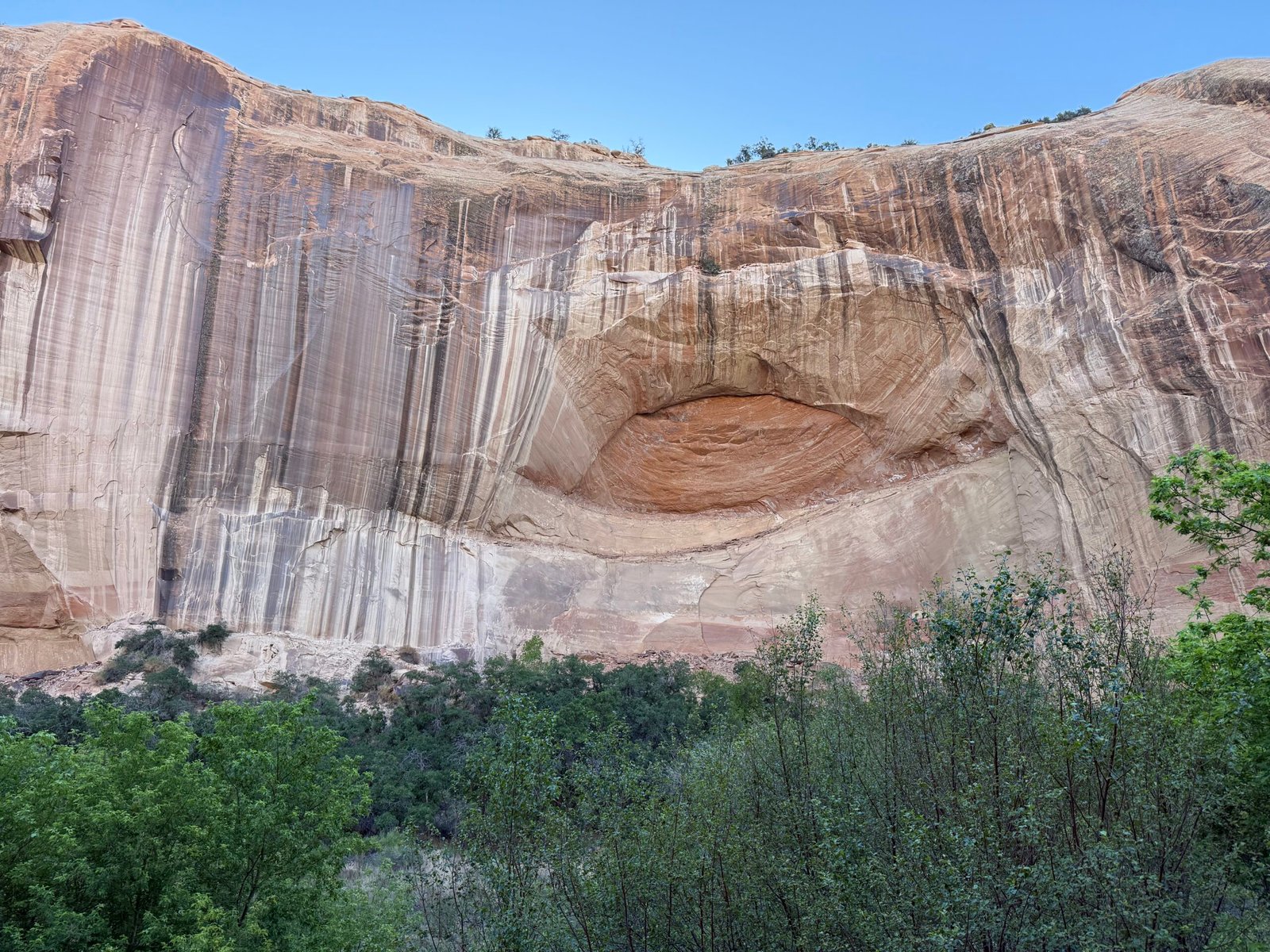
    Yeah, we’re headed for that dark spot, center-left. And that black 3-rock cairn set near the center doesn’t look like much here, but it’s nice to spot from the bottom…

    It became obvious that we were, in fact, going down there. About 600 feet, practically all of it in the first half-mile, on slick rock guided by cairns. And it’s getting hot.

    There was a sort of “mental whiplash” from expecting an easy hike, realizing the creek was far below, seeing the “trail” run straight down the canyon, and then starting off the rim onto a slippery, sandy and very steep slope. The descent was stressful and really slow going as we navigated cairn to cairn.

    The truth is, I’d rather climb than descend. Descending forces you to heel strike first and is uncomfortable for balance, it also adds extra stress on the knees. The whole body tenses for the repeated shocks and unexpected slips and slides. And we need eyes in our toes to find those hidden steps that we know lurk just below the ledges.

    In fact, why do we have world-class climbers but no descenders? Yeah, I know Alex Honnold has climbed El Cap, but has anyone ever descended it without a rope? Completely absurd to even think about. And why does my iPhone count flights up, but not down? So here’s to the unsung heroes, the descenders! Always out of their comfort zone, stress hormones maxed out, just trying to catch a break and get down the damn thing. But I digress….

    Patricia and I have a discussion. I agree to put Ffej back in his lamp and she agrees to be more forceful in calling me (him) out. We decide we will proceed carefully. I scout out the last bit and although rocky (did I need to mention that?), it levels out near the top of the falls. There is a side trail that scrabbles another couple of hundred feet to the bottom of the falls, we will not be doing that today.

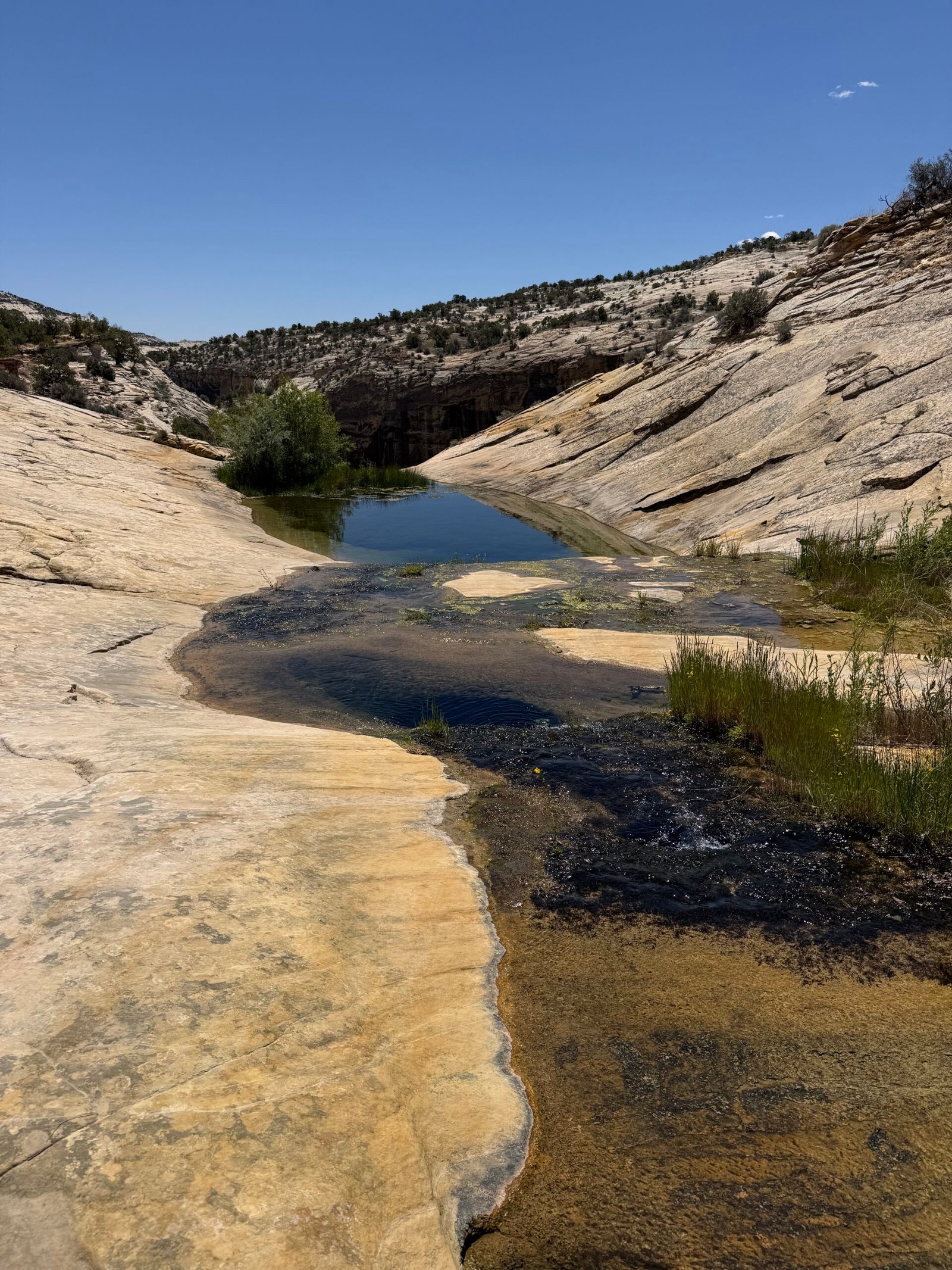
    As the trail begins to flatten, it is pushing noon and getting hot. The entire area is completely exposed with a handful of piñon to provide shade. At the 3/4 mile mark with only 1/4 mile of, ostensibly, mild descent remaining, I am seriously considering turning around. We have enough water but I am worried about the heat. If we continue, we will want to hang out a while and then climb out when it is even hotter. We should have done this earlier in the day!

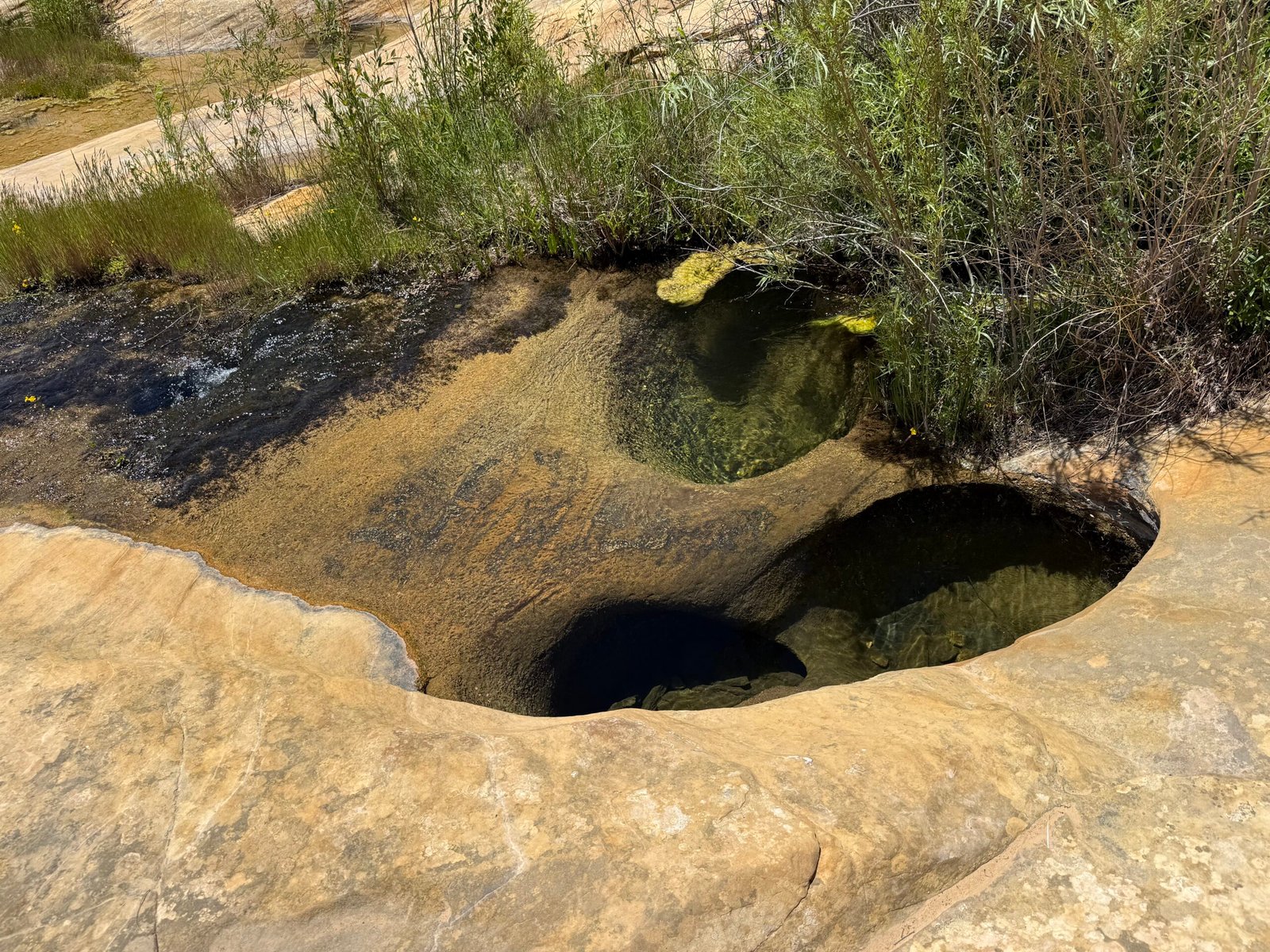
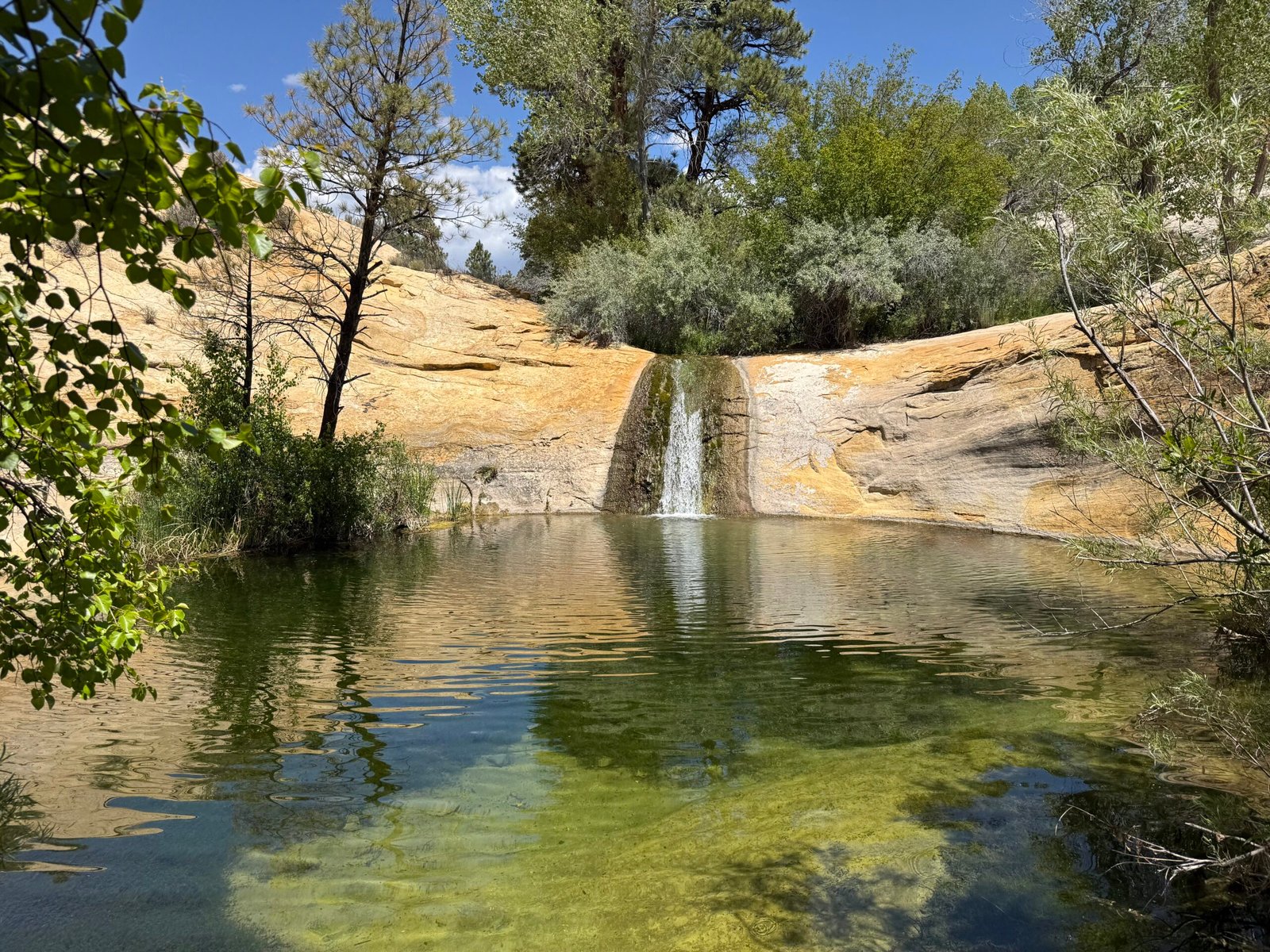
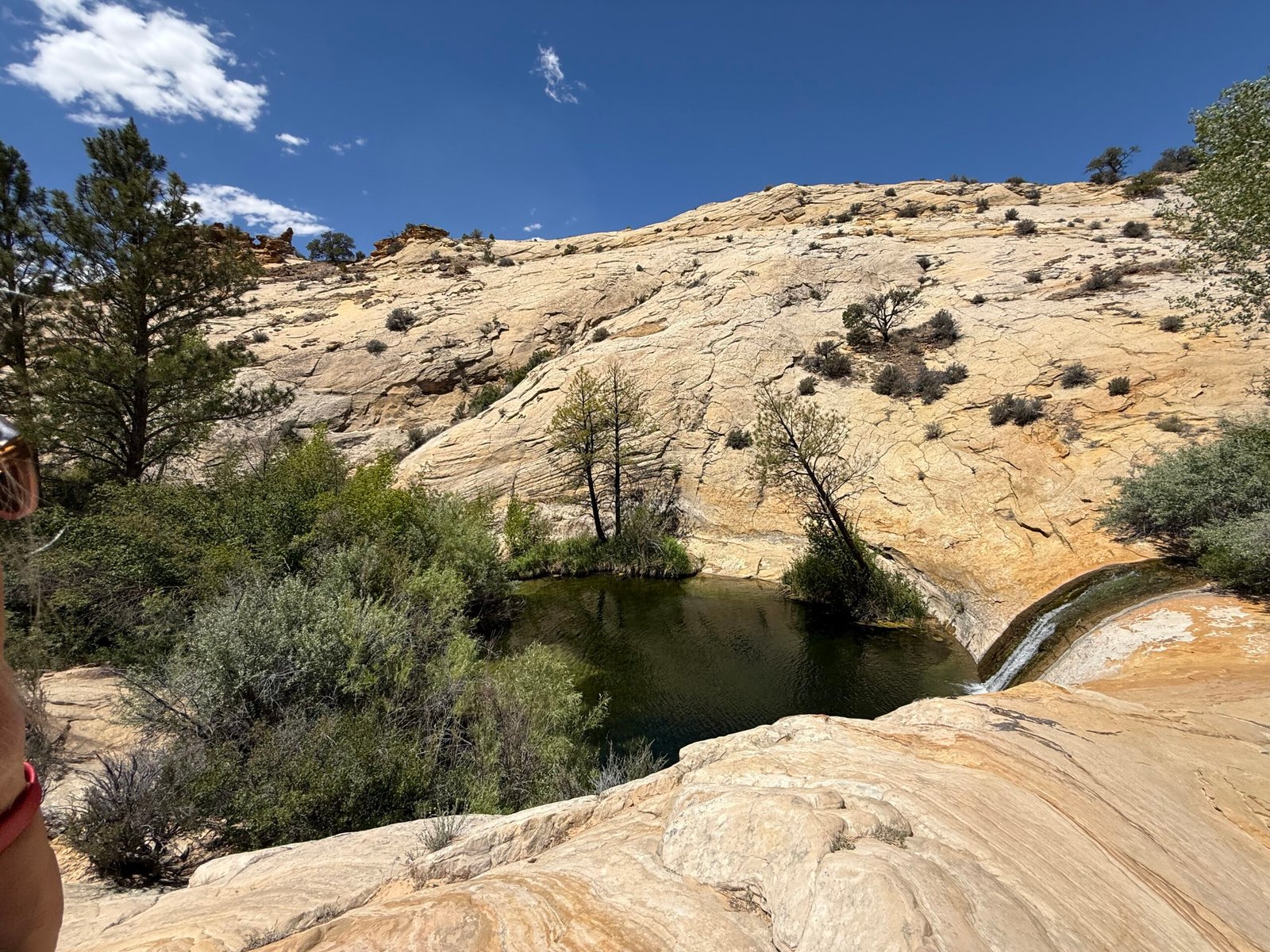
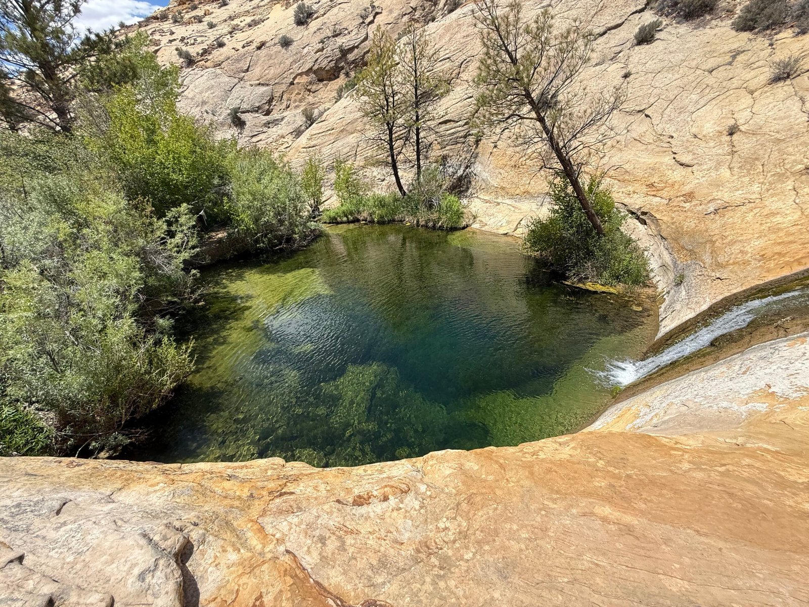
    And then, wow. How can you have such a hard rock oven of a canyon and the water be so stinkin’ cold that it takes all of your gumption to jump in it? We have found a little desert paradise. A cluster of shady trees surrounding a little blue hole with its own little waterfall. I eventually managed a breath-taking plunge but Patricia couldn’t make it past her knees, the water had to be in the low 50’s.

    Fully refreshed, we prepped for the one mile hike out. Just in case, I treated a quart of paradise’s water for the climb. I also filled a silicone ziplock with the cold water for dunking our bandanas. With such low humidity, evaporative cooling is a tremendous asset, and a wet bandana on the neck can really help keep the core from overheating.

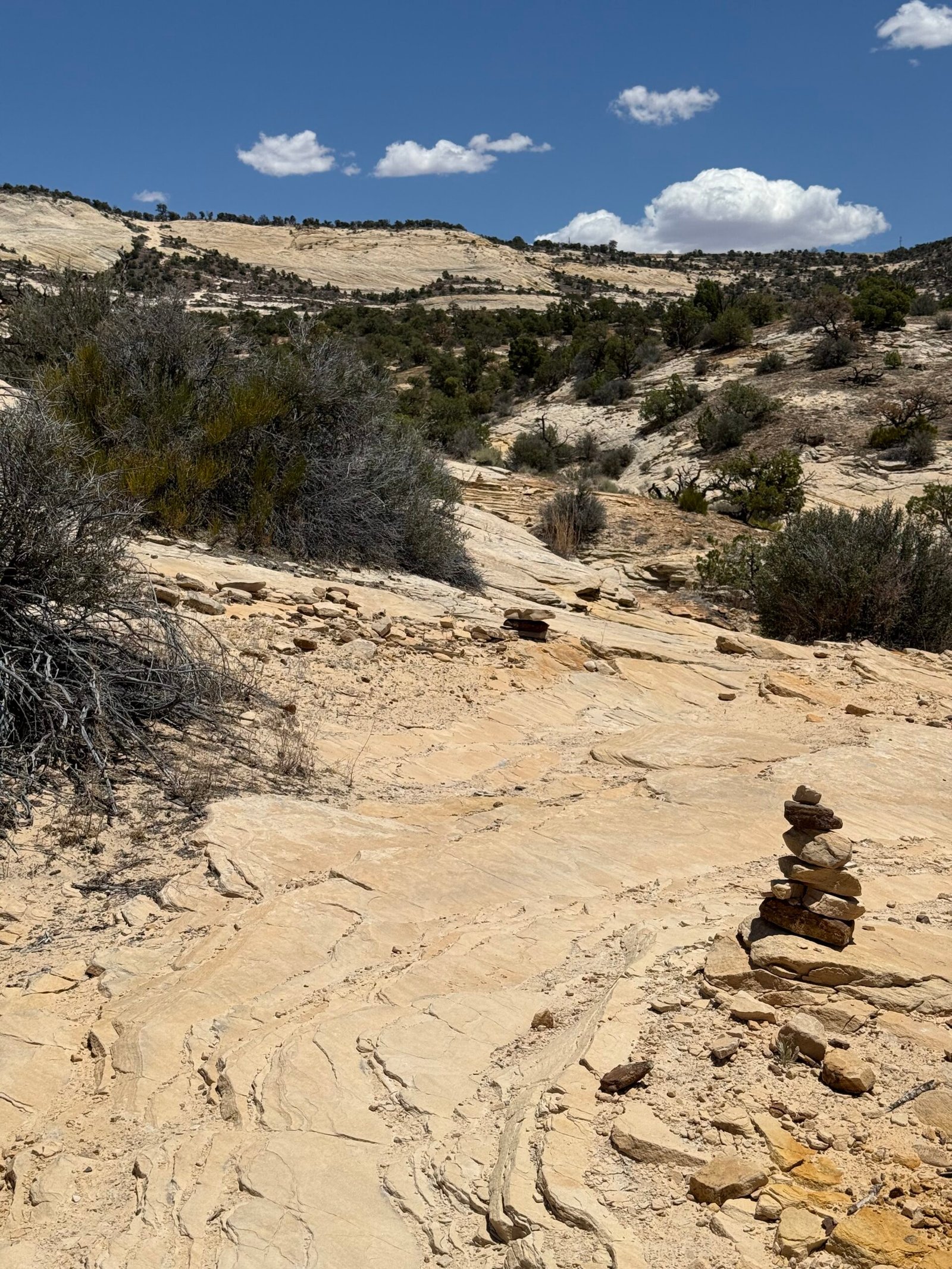
    Our goal is the rim between that cluster of dark rocks in the upper left. What a great cairn in the foreground!

    Working our way to the top was a lot quicker than our trip to the bottom. Mentally we were ready for it and we just took our time, resting along the way in the shrinking shade of the little trees until we were up near the final climb. The cairns were well-placed, nudging us to the proper side on the wide slick rock for the best purchase as we moved upward.

    And back to the 3-rock cairn, a good day.
    I remember the colonel’s words to this day. And he’s talking about pee. It needs to be clear and not cloudy, and there needs to be a lot of it. Otherwise dehydration with energy loss, creaky joints, and generally bad things are on the doorstep.
    We had planned our water well, clear and copious indeed.

    The parking lot was still empty when we arrived…


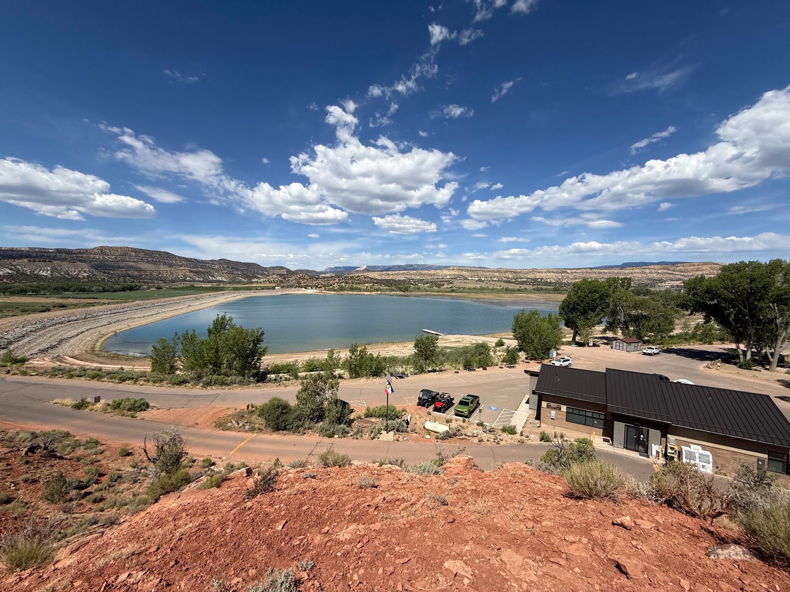
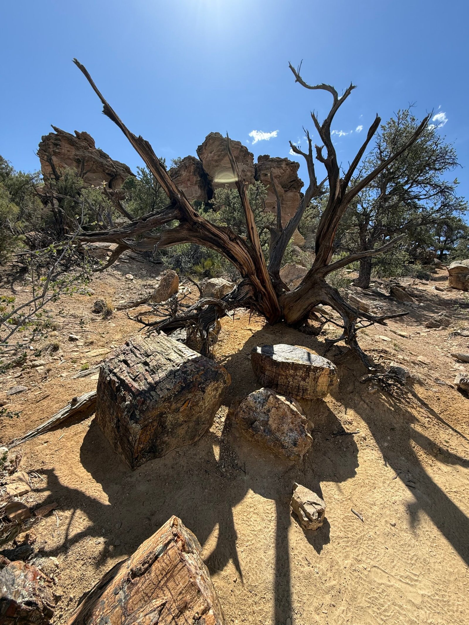
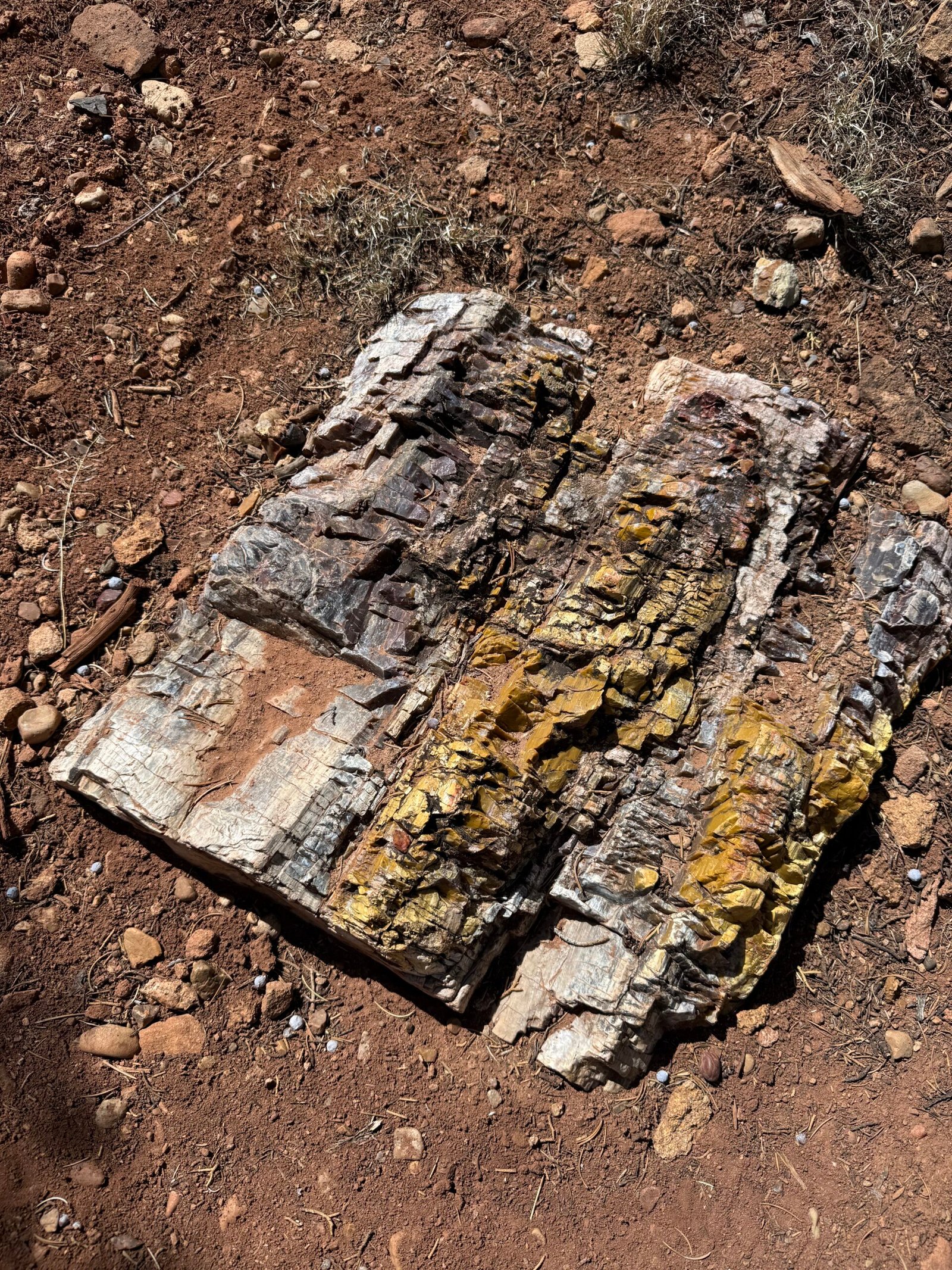
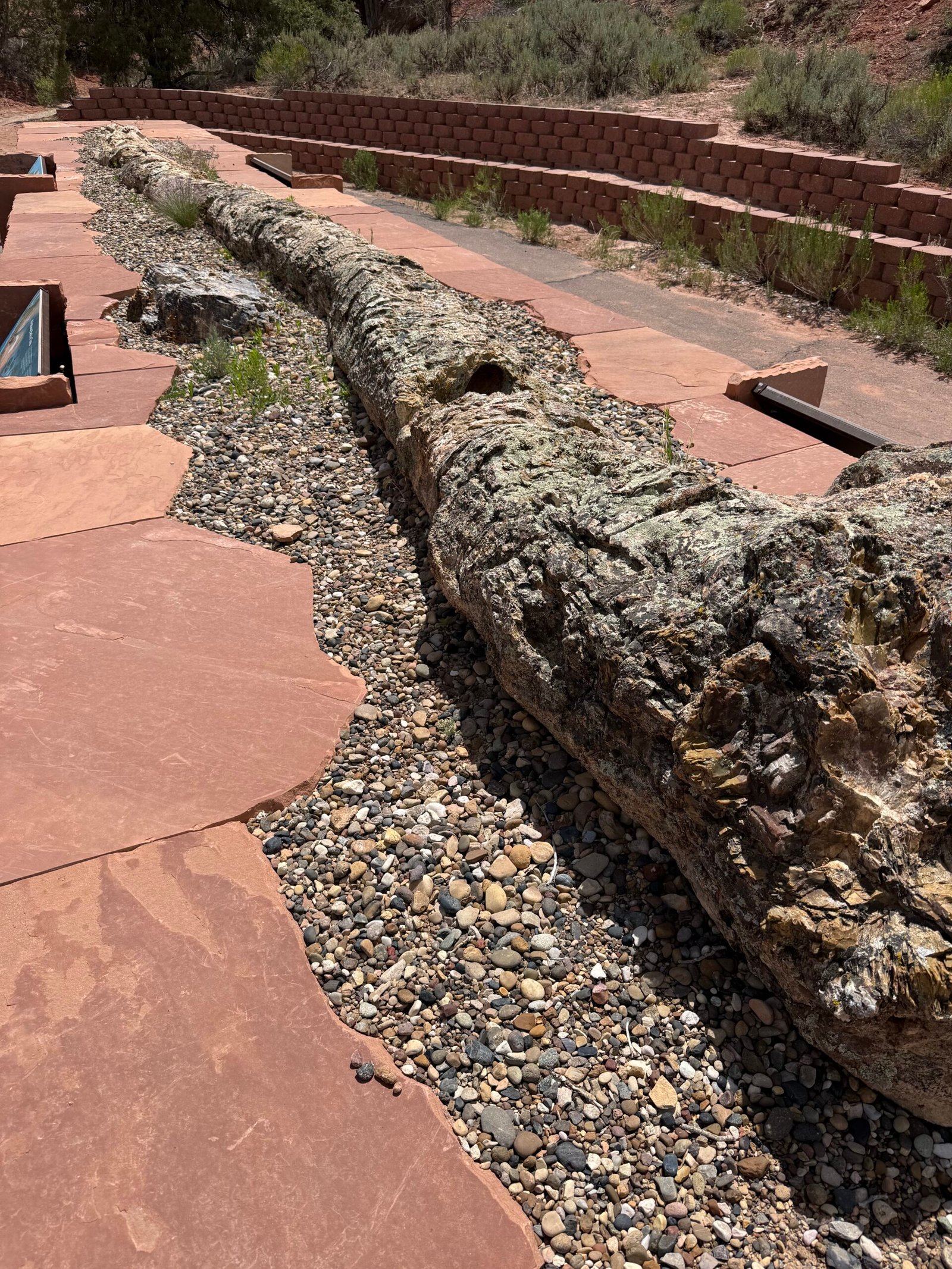
    The state park was pretty nice and very well maintained. The blue reservoir looked so inviting that we immediately prepared to break out the paddle board. But the eye can be deceived and the reservoir was low, I’m guessing well below half full. Between the vegetation in the shallow water and the ever-present wind white-capping the surface, we eventually lost interest. But the petrified forest loop was quite nice and the more rugged “sleeping rainbows” trail was a treat. I never knew there could be so much color in the fossilized wood!

    Coming out around noon, I was again amazed at the number of people that were just starting the climb into the loop. Families with child backpacks and dogs, but very little sun protection or water during the heat of the day. I guess we can get away with these short excursions, but they can get serious pretty quickly. I have the T-shirt.
    The campground is pretty dynamic, with groups using it as a basecamp for various activities. One group of teens was nearby for a night, and one of them had a guitar. It must have been a cheap guitar, as it only knew one song. So they all sang it…over…and…over…and…over…again. With exuberance. I chuckled to myself as it all wound down for a nice…cool…quiet…evening once again.

    Escalante is a nice little town, and we covered all the bases. Patricia scored a couple of deals at Blue Crow Gear and Gifts, we sampled the goods at Escalante Mercantile, and ate at Escalante Outfitters a couple of times, legendary for their salads and pizzas. And Kiva Koffee was a wonderful space near the river.

    In general, this area is considerably more popular and busy than Bears Ears. But so far it seems to be manageable and maintains the small town feel. And it was a bit curious to me that there was so much touring motorbike traffic. Kinda cool, actually. Not really the big Harley’s, these folks were generally self-sufficient and out for the experience of the expanse of it all.

    As we rolled out of Escalante, the Hole in the Rock trail branched off toward the Colorado. It’s dozens and dozens of miles of bad washboard road down to the actual spot where the Mormons blasted their way to the river and dragged their wagons across on their way east to, you guessed it, Bluff, Utah. To me it seemed like a bad idea then, and it still seemed like a bad idea today, so we just took highway 12 back up the now-familiar Hogback and over to Hanksville, where Brandon said there were the best milkshakes ever.

    Not impressed. Sorry Brandon.

    Heading east across highway 95 felt like completely different scenery! We had only driven this road west when we left last year. Once again it reminded us to occasionally “just turn around” on any adventure, what’s behind you can really be surprising! We have experienced this time and time again…when we remember to do it.

    Coming back into Bluff from the west was a treat. We met the new volunteer, Carmen, and just settled back in for a couple of days to get ready for the AstroFests. Oh, and the upcoming mountain lion talk!

    And, maybe unsurprisingly, Carmen was yet another force of nature and kindred spirit that we wouldn’t have gotten to meet if we had left “on schedule.”

    Stay tuned for the next episode….

  • On the San Juan

    On the San Juan

    #7 of  the series.

    She had picked up a BLUFF bumper sticker from the rack at the desk.

    “Sooo…why do they call it Bluff?”

    “Ummmmm…”

    I’m dumbfounded. I got nothin’. I just kinda kept my head down, hoping it was a rhetorical question. The teenager had gotten out of her family’s car first, and I guess she had walked into the BEEC while looking at her phone, not seeing, well, the bluffs.

    Eventually the rest of the family trickled in, angling for the restrooms. It’s not uncommon and it’s perfectly fine. I mean, we have a big “VISITOR CENTER” sign by the highway, and the entire strip in front of the BEEC, the Tsé Kooh River Outfitters, and the Mokee Motel is a bit of a landing zone when entering town from the west. Lots of folks stop to check their rigs and such.

    But yeah, looking out the car window still has its uses!

    This could be my favorite question of the month…


    Retrospective – Part Two:

    I grew up in an interesting time. I remember when the Cuyahoga River flowing into Lake Erie was so polluted that it actually caught fire. In fact, it caught fire 15 times in a single year! There became a serious interest in trying to clean up our toxic messes and keeping us healthy. Efforts like the Clean Air Act, the Clean Water Act, and the Montreal Protocol (to ban ozone depleting chemicals), all were either enacted or substantially improved through the ’70’s, ’80’s, and ’90’s. And these have been important laws with bipartisan support from Congress for the people.

    President Richard M. Nixon, to his credit, strengthened the first, and enacted the second. The Montreal Protocol was endorsed by Ronald Reagan. Staunch conservatives through and through, they also understood the importance of these programs.

    It took years for lead, a toxic heavy metal, to be phased out of our gasoline. But as a result, tests have shone that the amount of lead in children’s blood has been reduced from 15 μg/dL in 1970 to 2 μg/dL by 2000. There is no known safe limit of lead in the human body. Interestingly, other than all of the lead shot, bullets, fishing sinkers, and the like, lead is the most recycled metal in the world.

    In the 1980’s, the conifers in the Great Smoky Mountains were dying. We saw it ourselves as frequent backpackers in the region. It was determined to be “acid rain,” the result of beautiful, clean coal seeding the air with sulphur (and other toxins, remember Paradise) to create weak sulphuric acid. It was a serious threat to the southern Appalachian forests.

    The Clean Air Act forced changes across the country, and as a result we can breathe much healthier today! In addition to lead being removed from our gasoline, air “scrubbers” were installed at coal plants across the country to trap the toxins in the fly ash. Our quality of life increased and our children’s future was a bit brighter.

    Fly ash contains all sorts of heavy metals like lead, arsenic, chromium, and mercury. Most of it ends up in landfills, and it is typically collected and stored in containment ponds temporarily. In 2008, massive rains breached a containment pond at the Kingston plant in Tennessee and well over one billion gallons of fly ash slurry spilled onto over 300 acres of land, with some making its way into the Clinch and Tennessee rivers.

    TVA spent over one billion dollars on the cleanup, with many of the properties becoming uninhabitable. Many of the employees contracted for cleanup became sick, developing various cancers. Over 30 people died within 10 years of the cleanup, which was deemed complete in 2015. Nothing beautiful or clean about coal.

    It seems a crazy connection. Our new neighbor from Kentucky, the Hopi and Navajo here in the southwest, the Kingston plant in middle Tennessee. Or is it?

    When we spend billions to create an industry, extract billions of tons of coal with the effluent injected into the air and water, and then spend more billions to try and clean it up, what is it we are trying to do?

    Then they wrote it all down as the progress of man.

    A long, long time ago around the time of Christ, a people began to thrive in the Four Corners area. Known today as “ancestral Puebloans,” they did not become extinct as first considered. It is estimated that there are well over 60,000 descendants existing today that include Hopi, Zuni, Acoma, Ute, and Laguna cultures.

    The primary meaning of the word Hopi is “a behaving one, one who is mannered, civilized, peaceable, polite, who adheres to the Hopi Way.” These people were not warriors, and they were very spiritual. In fact, the Hopi believe they have been given special knowledge by the Creator and are tasked with sharing it with the World.

    Did you know that the Hopi have spoken four times at the United Nations?

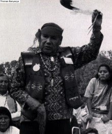
    Wha?! Yep, in 1948,1959 ,1976, and lastly by Thomas Banyacya in 1992.

    They consider their 1992 speech to be their final message. It fulfills a prophecy where one day world’s leaders would gather in a “Great House of Mica” to solve world problems without war. It’s fascinating that the U.N. building on the east coast has an exterior that is all glass!

    This last message has been preserved, and I encourage you to read it, it’s pretty striking. The photo is linked to it. A pdf is available too.

    Back in the day when TVs had knobs, you were lucky if you could pick up 5 channels with a motorized antenna. PBS, the Public Broadcasting Service, was a go-to for me. In the 1980’s I remember catching a glimpse of a documentary where a spent rocket stage was tracked through a telescope as it plummeted to Earth. I was so intrigued! But with broadcast TV literally streaming over the air waves, you couldn’t pause and rewind, and it wasn’t easy to find the show’s name unless you had maybe subscribed to TV Guide. You just had to be patient and keep an eye open.

    Years later I eventually found out the name of the documentary…but I couldn’t watch it. There were legal issues on who had the rights to it. But finally it was made available.

    Koyaanisqatsi, from the Hopi language, was released in 1982. Rated 8.2 on IMDB and 92/100 on Rotten Tomatoes, surely you’ve seen it?

    Directed by Godfrey Reggio, filmed in 70mm by Ron Fricke, and with a musical score by Philip Glass, it is a mind-bending visual experience on our modern approach to life on earth (I have a DVD-quality copy to loan if you are interested). All I can say is that this wedged itself deeply into my mind. It is a raw look at what we’re about. And it was done over 40 years ago. Many of the things I’ve discussed in my Retrospective are described visually here.

    This country has worked hard over the past 50 or 60 years trying to improve the lives of its people. And while contentious at times, it has been a bipartisan effort in Congress. And the three branches of government have seemed to understand, at least to some extent, the importance of the will of the people and the pursuit of happiness.

    All of this is being torn down. And the impacts will be far-reaching. A wrecking ball does not know how to rebuild, it only knows how to swing. Its time will pass, but if we want something better for our grandchildren, then things will need to change, and we will need to roll up our sleeves.

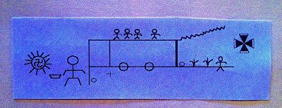
    There are two paths. The first with technology but separate from natural and spiritual law leads to these jagged lines representing chaos. The lower path is one that remains in harmony with natural law. Here we see a line that represents a choice like a bridge joining the paths. If we return to spiritual harmony and live from our hearts, we can experience a paradise in this world. If we continue only on this upper path, we will come to destruction. — Thomas Banyacya, from his 1992 U.N. speech.

    Patricia and I did a short study on the Gospels a couple of years ago. One thing that has stayed with me is how easily we can lose the true meaning of the translations. Take Matthew 4:17 for example, where Jesus says:

    “Repent, for the kingdom of heaven is near.”

    He’s echoing what John the Baptist has previously said. And I, for most of my life, have believed this to mean, “Confess your sins, there’s not much time!”

    But looking at the original greek meaning of the words repent and near, it’s more like, “Change your heart and mind, for heaven is right here!” Acknowledging (confessing) sin is just a natural result of the change.

    Is it that simple? Just change our behavior, how we perceive and feel, and paradise is revealed? Isn’t that what Banyacya is also saying?

    Paradise was lost to the small-town people in Kentucky. Paradise may be lost to the Hopi and Navajo of Black Mesa when the water runs dry. The folks in Kingston unknowingly gave the ultimate sacrifice and lost it all.

    Then they wrote it all down as the progress of man.


    On the San Juan

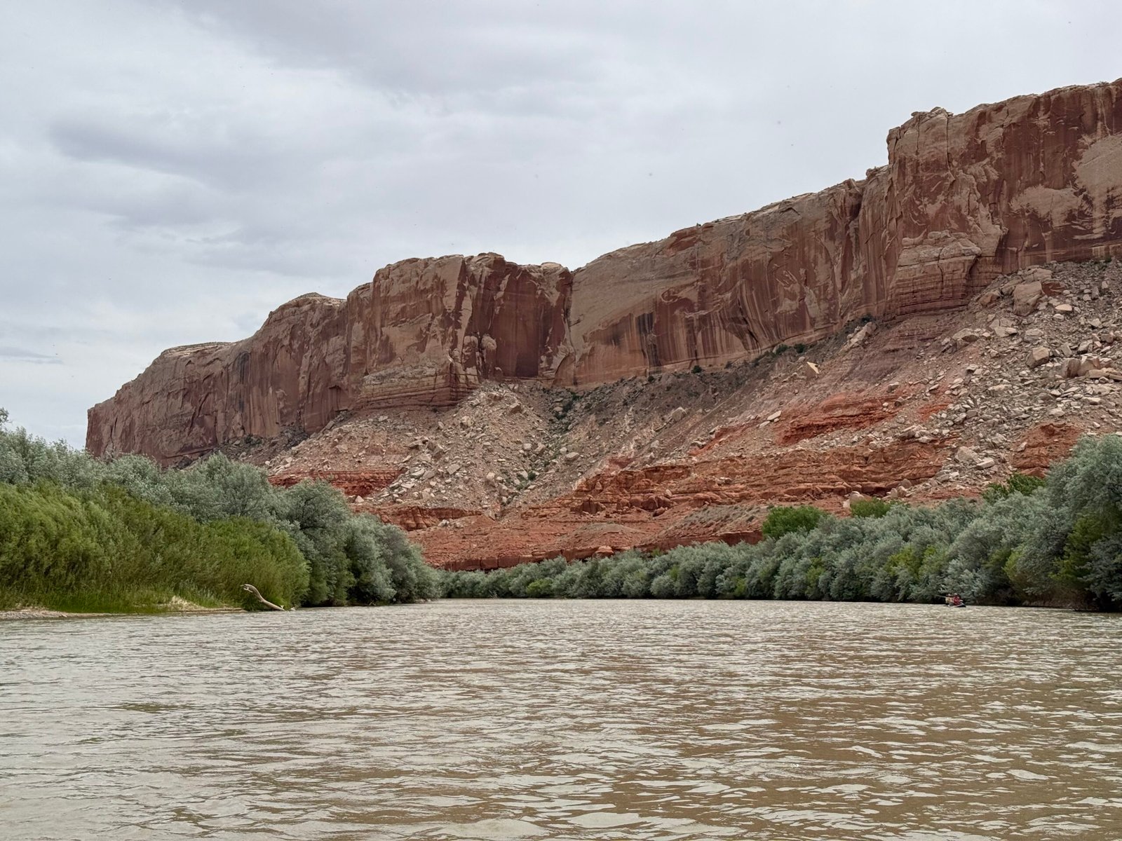
    In Utah, the San Juan river is the northern boundary for the Navajo Nation all the way from Montezuma Creek to the Colorado River. It is silty, carrying about half of all the sediment that enters Lake Powell.

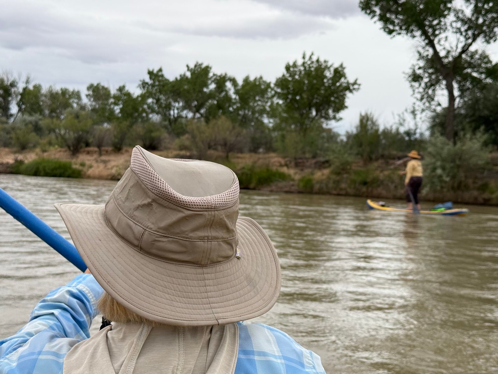
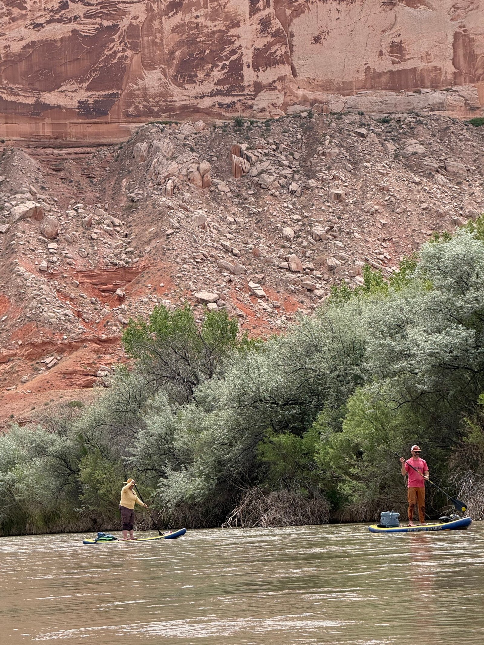
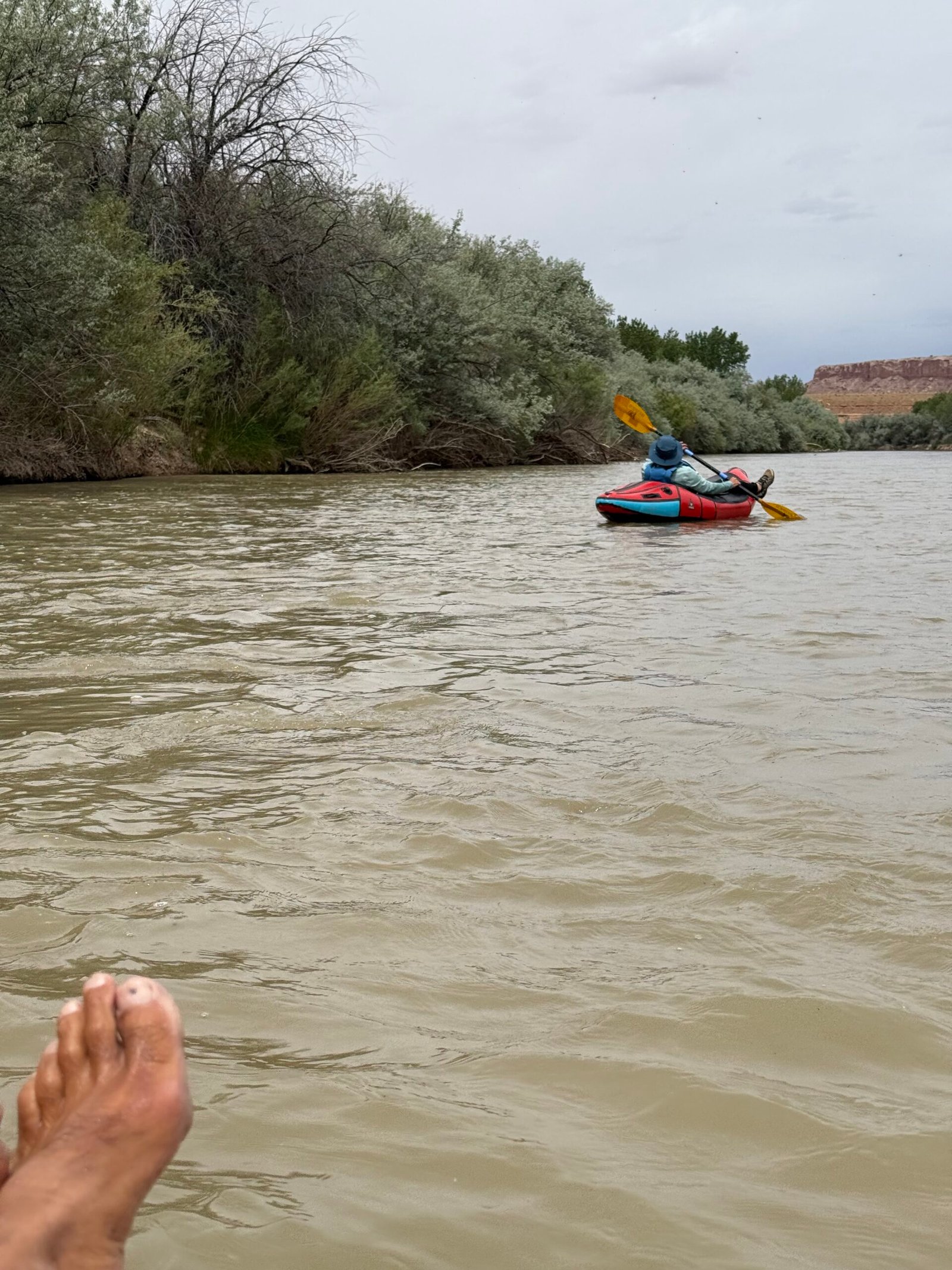
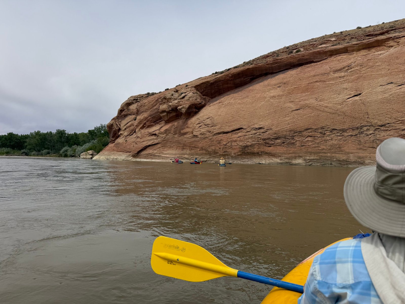
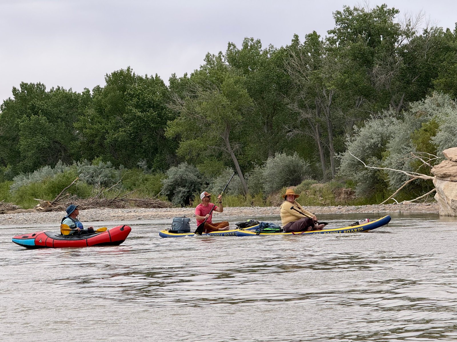
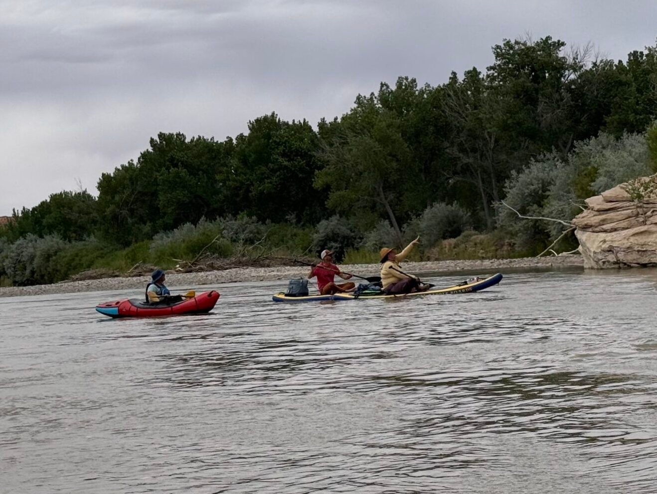
    Our host Kirsten and her husband Josh offered up a Memorial Day float on a mild and scenic section of the river. Sarah graciously loaned us a two-person inflatable canoe (known as a “ducky” in these parts) and Spencer ensured it was seaworthy with a little patching and testing. Brandon joined in with his packraft, and we put-in early in an attempt to beat the heat and the wind.

    It was cloudy, and at first the wind was pretty stiff, and of course up-river! But it eased after a bit and the morning was cool.

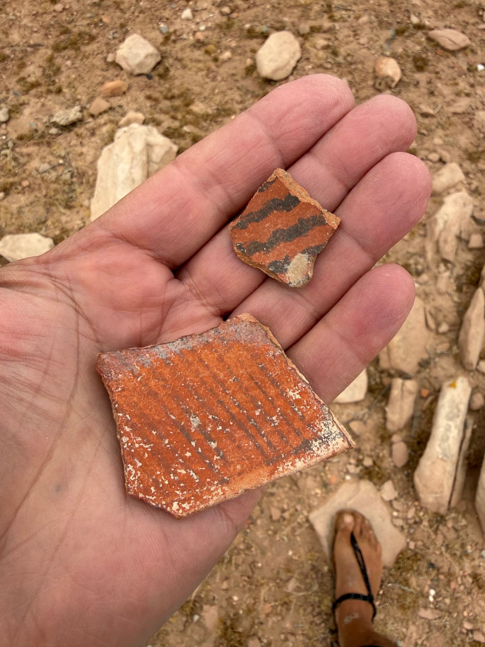
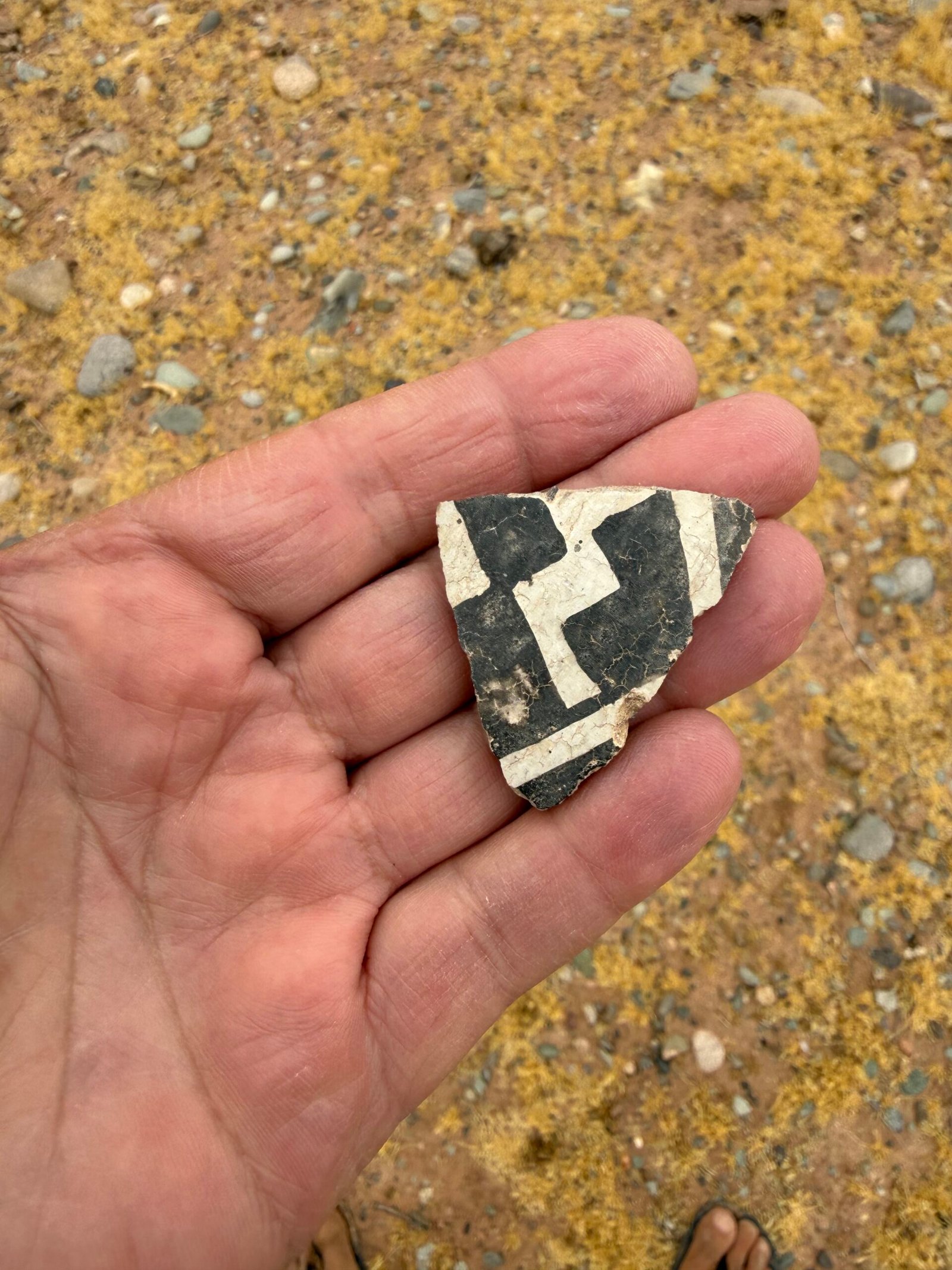
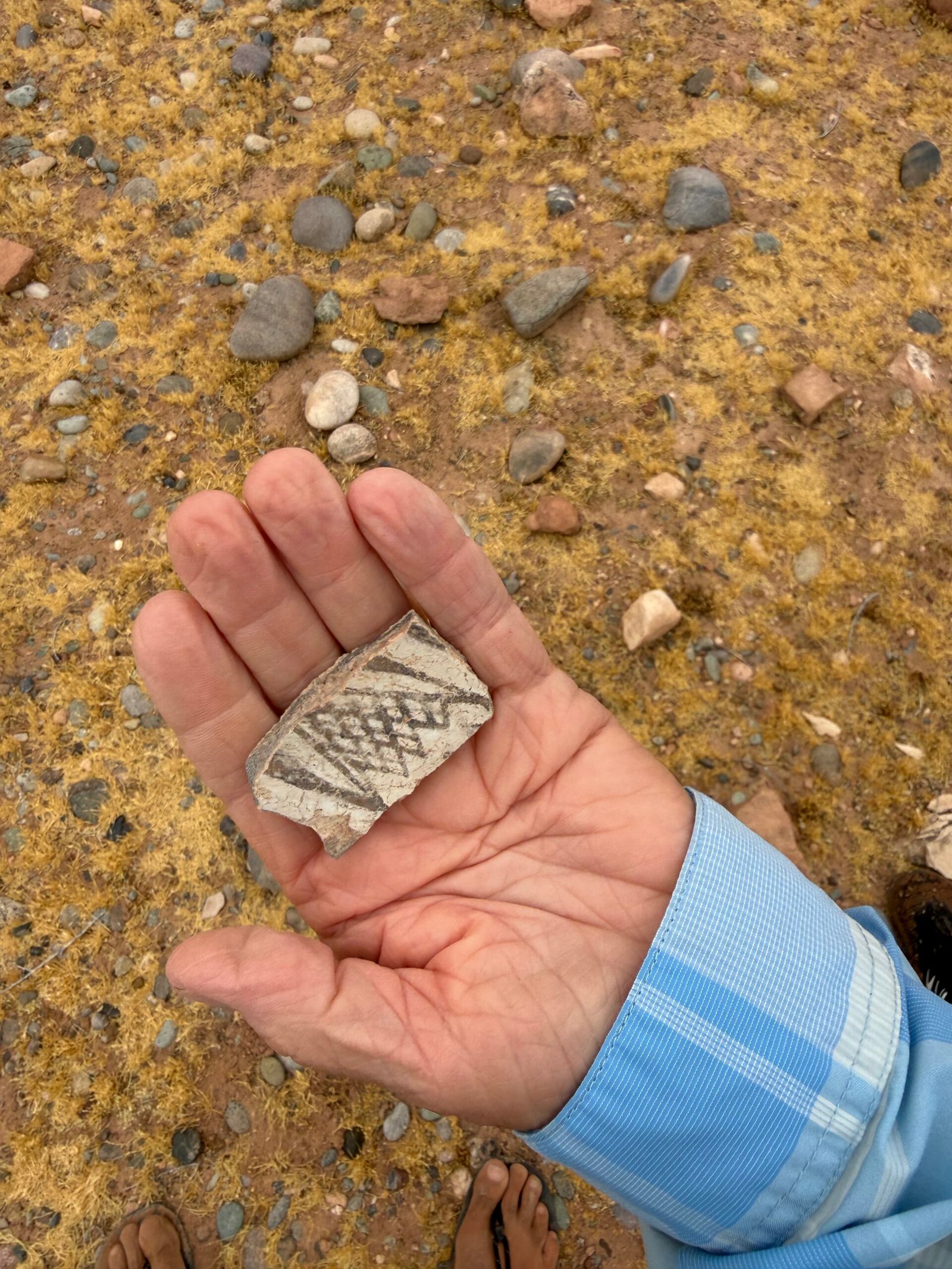
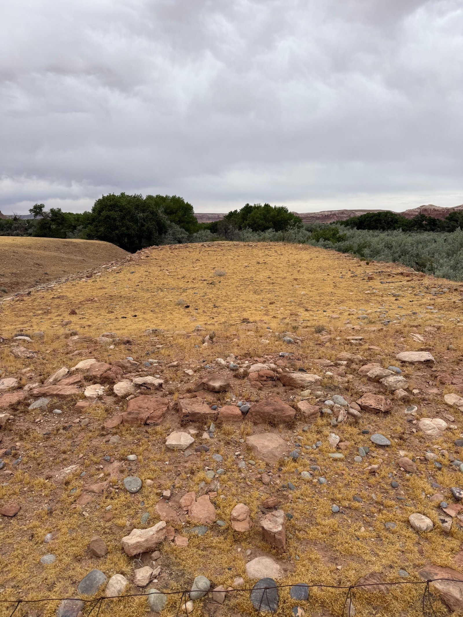
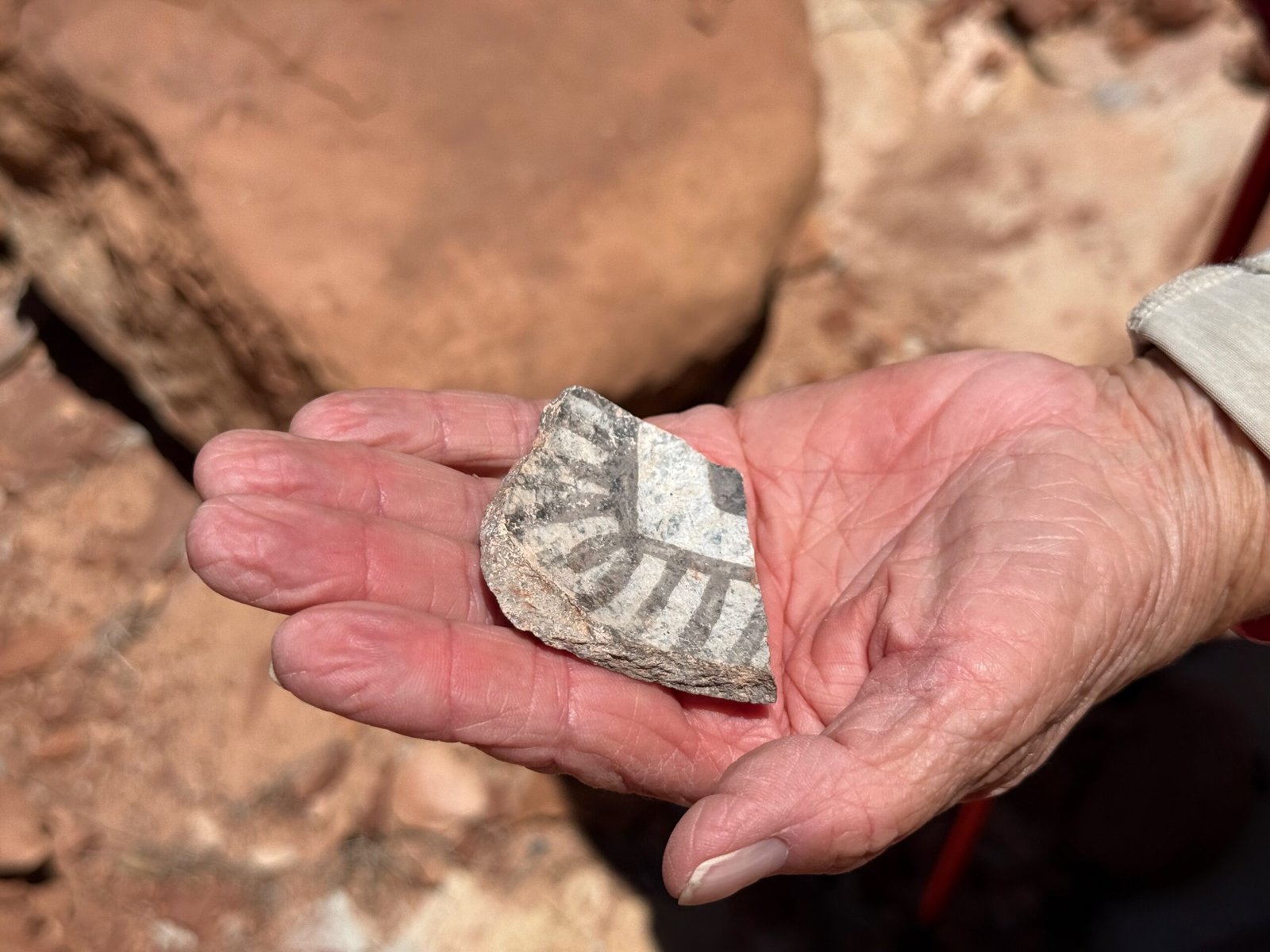
    Our first stop revealed some interesting cultural finds. A lot of pottery sherds indicating a very busy location over a long period of time.

    Josh mentioned that this structure is in some sort of celestial alignment. Possibly marking a solstice event that would be seen from Great House in Bluff, a couple of miles away.
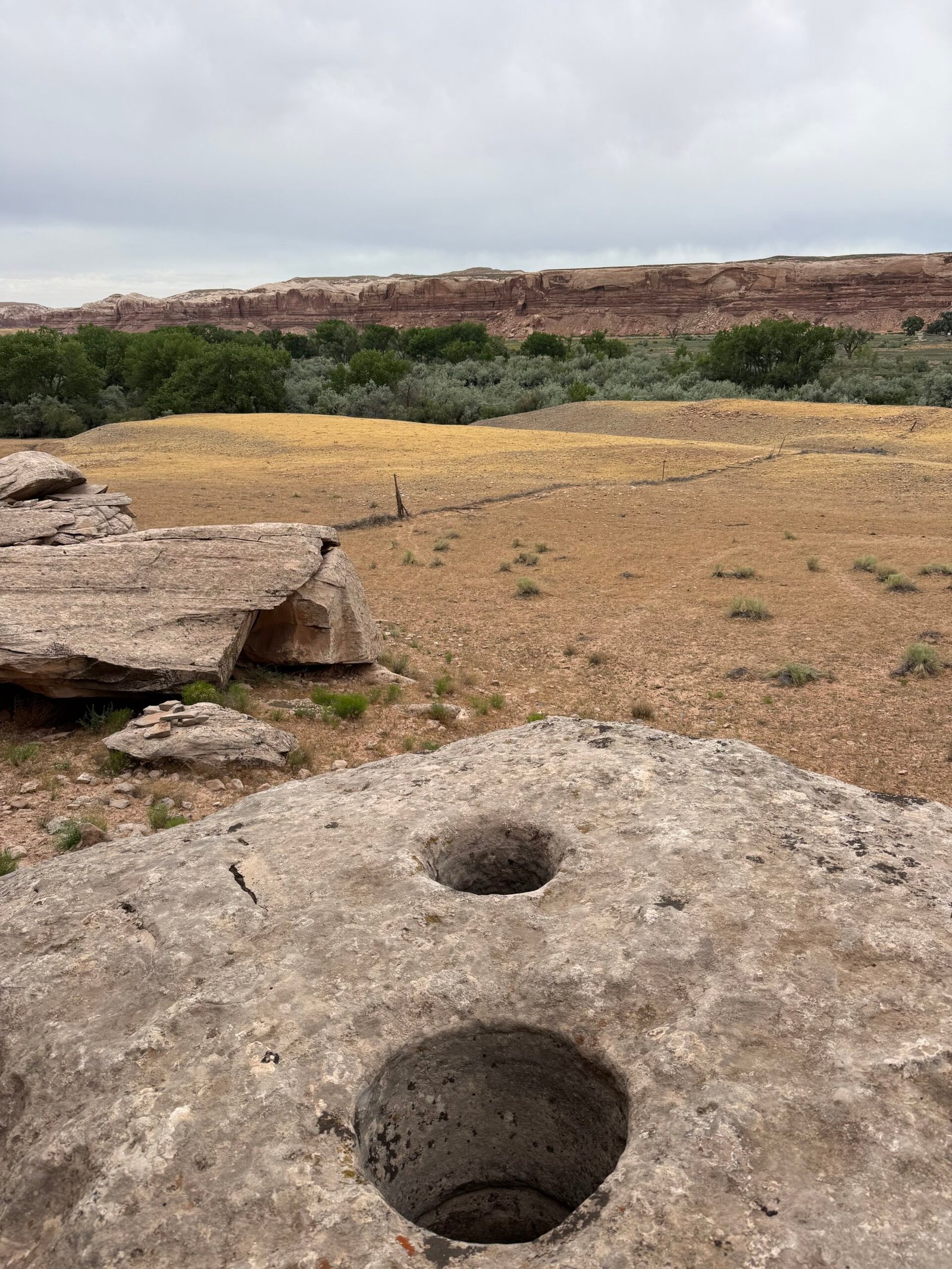
    In the same area up above the structure, there are a couple of deep holes seemingly drilled into the stone and large enough to accommodate telephone poles. Intriguingly, if you sight along the holes you will see a boulder all the way on the far side of river just above the greenery. According to Josh, there are two holes over there too!
    What were they used for? I’m no archaeologist, but it seems to me it had to be an ancient zipline! And that is probably why I am not an archaeologist.
    Brandon may be dreaming about whitewater. I think I see his arms twitching…

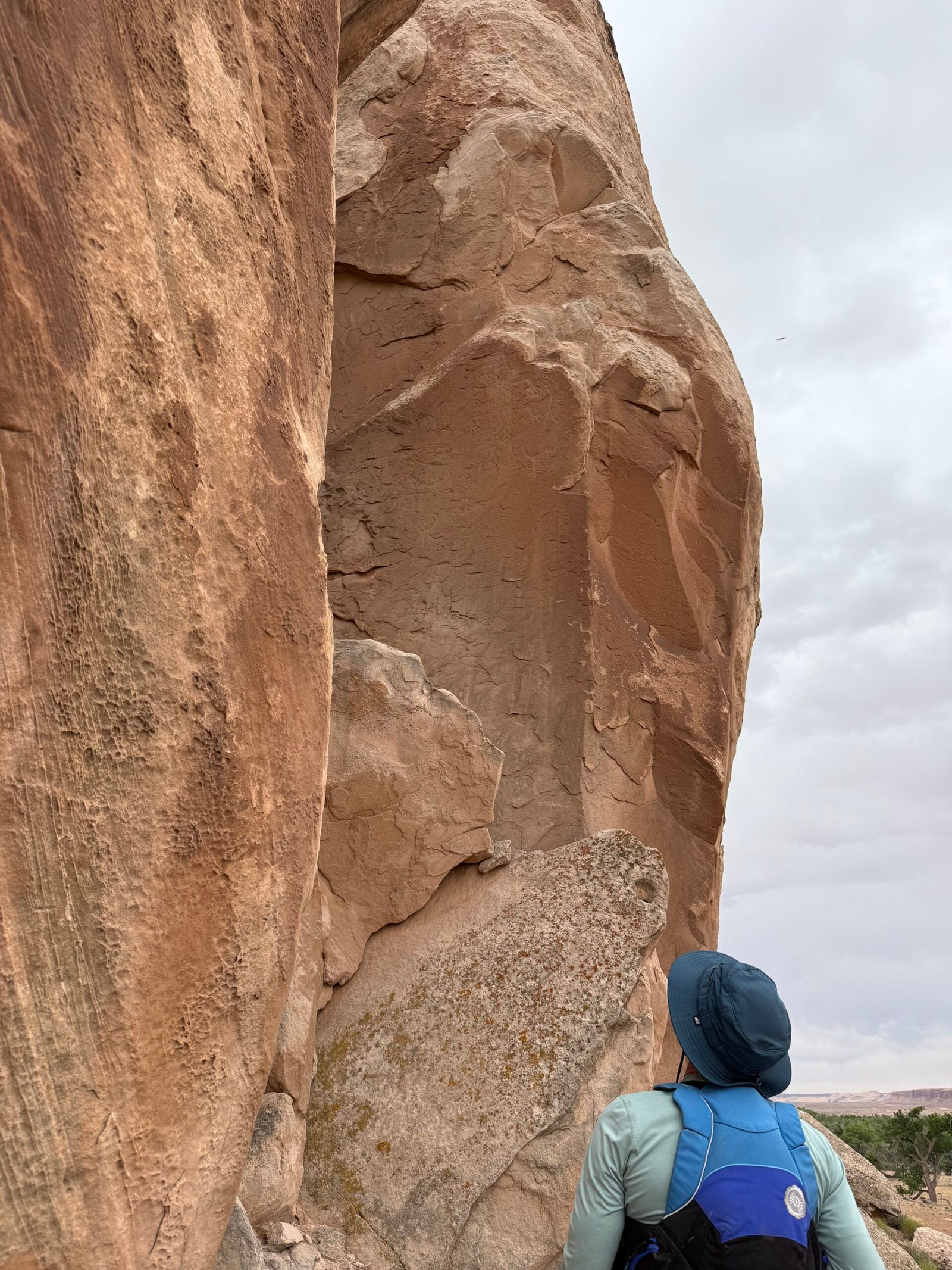
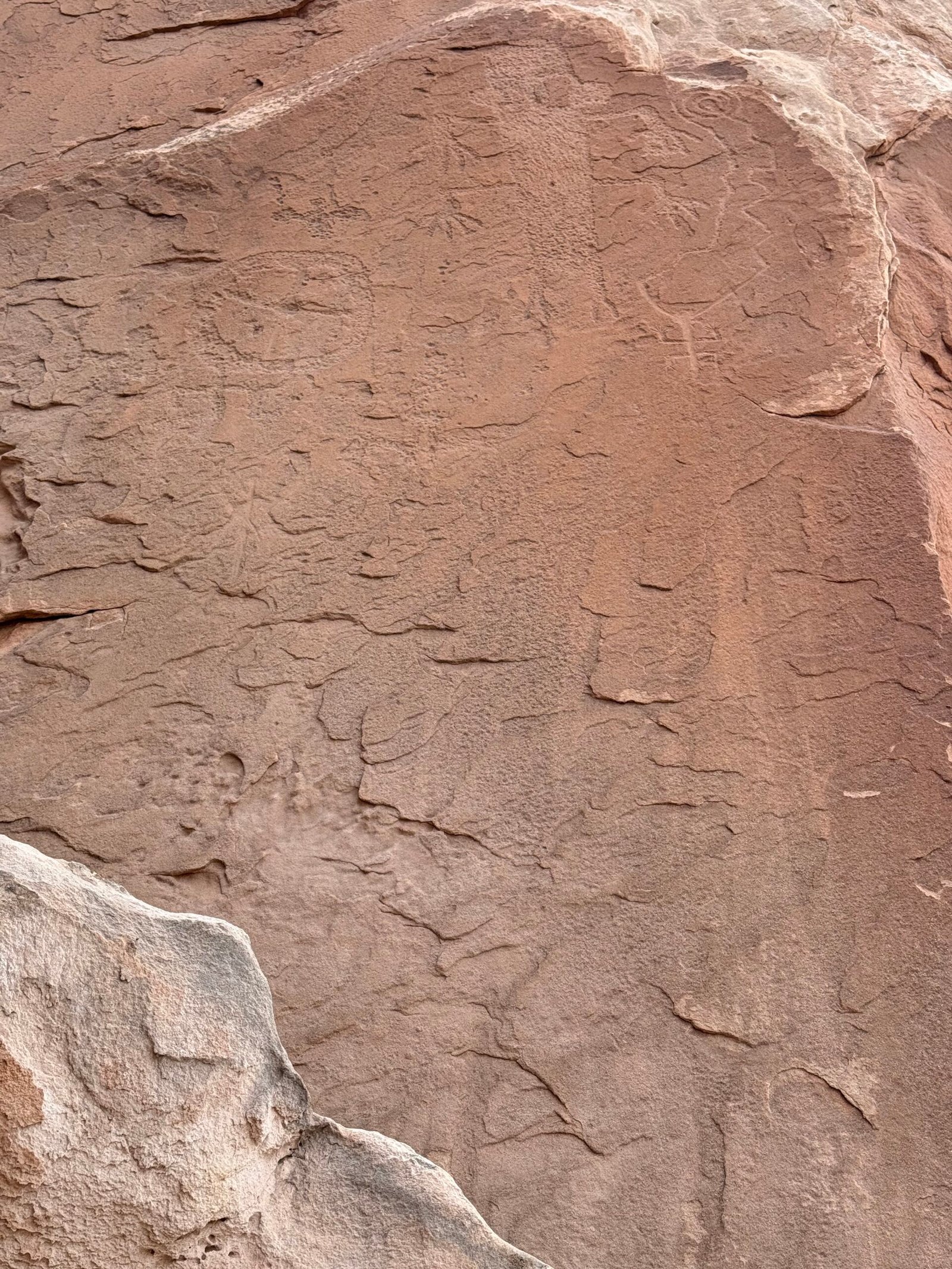
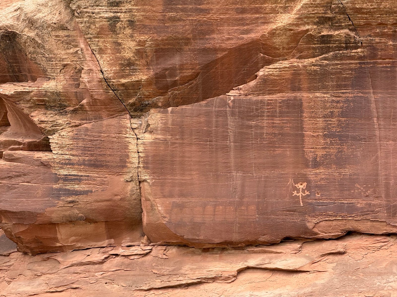
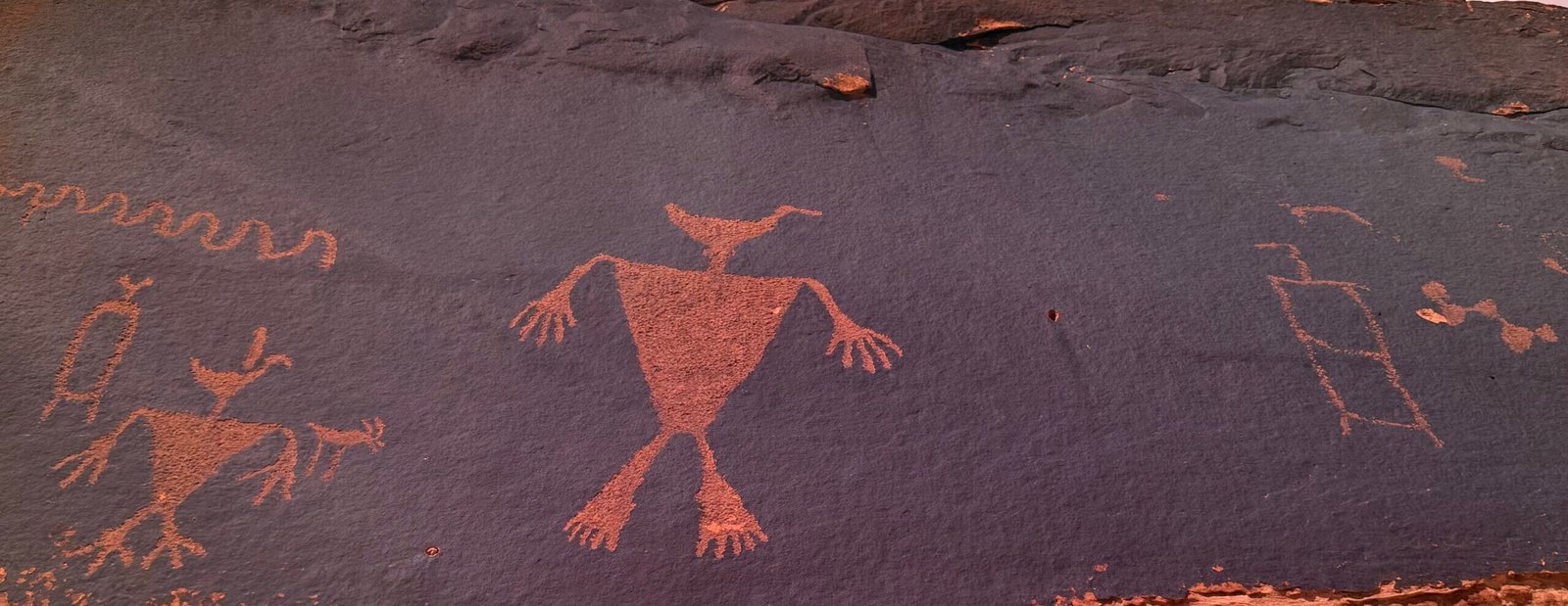
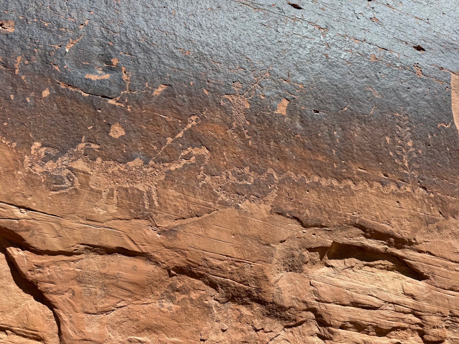
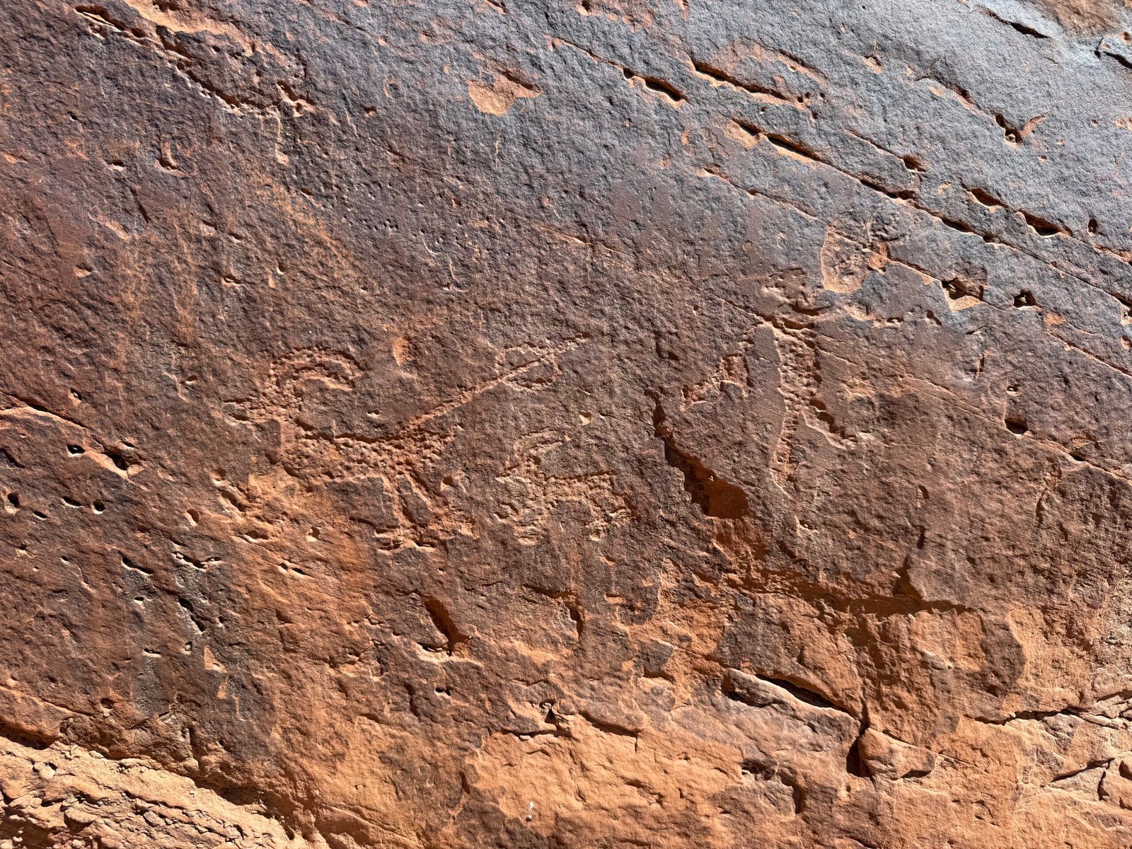
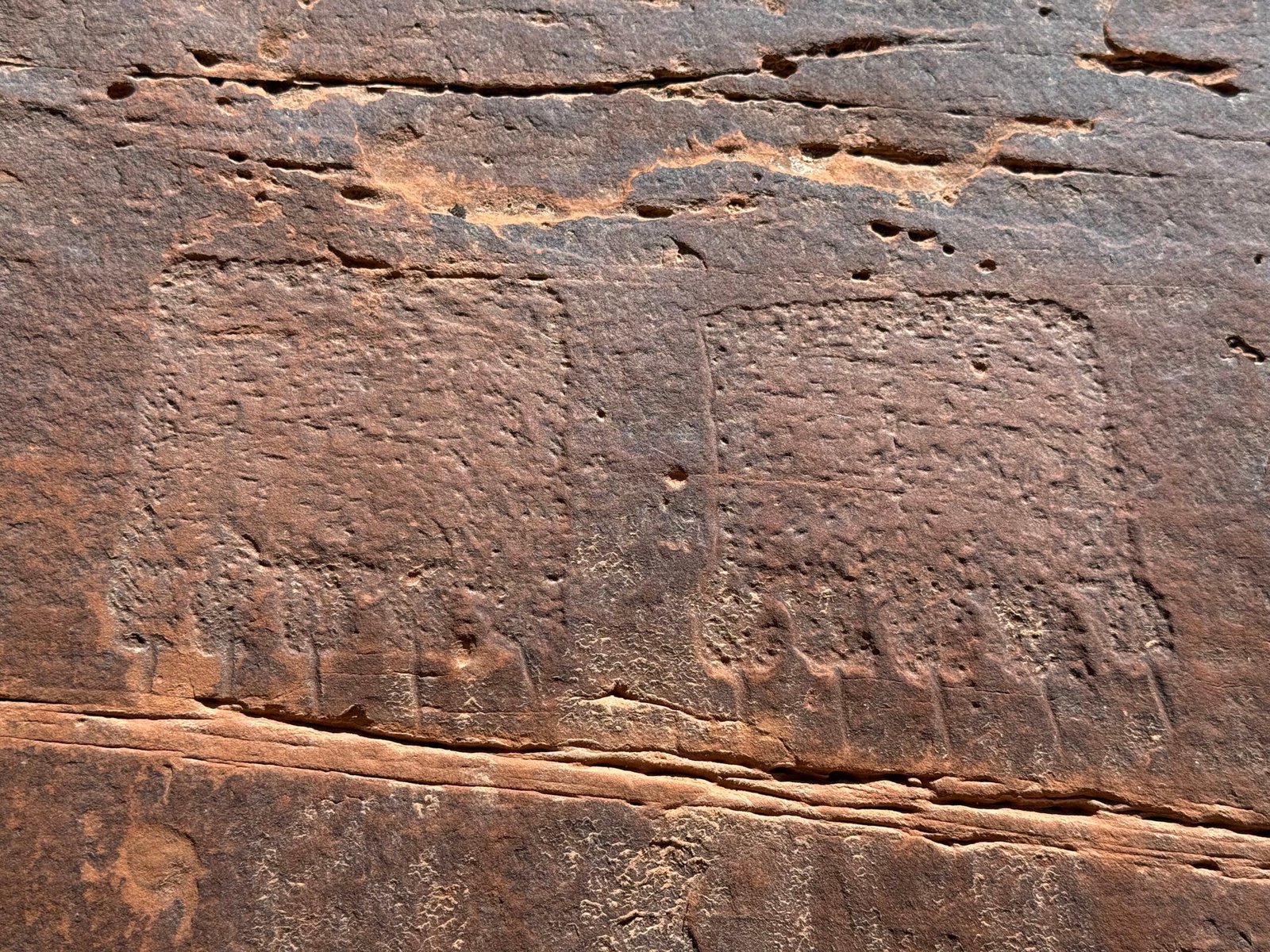
    Just before our takeout at Sand Island, we spotted more artwork on a rock face that turns the San Juan south. A few figures, along with seven mysterious panels all neatly lined up.

    Off the water by 1pm and, all in all, a pretty fine day.
    As our (supposed) last week was coming to a close, we learned that the BEP had been invited to a couple of AstroFest events in the Needles of Canyonlands and at Natural Bridges the first weekend in June. And they could use a little help with their telescopes.

    Hmmmm, this sounds like fun….

  • People(s)

    People(s)

    #5 of  the series.

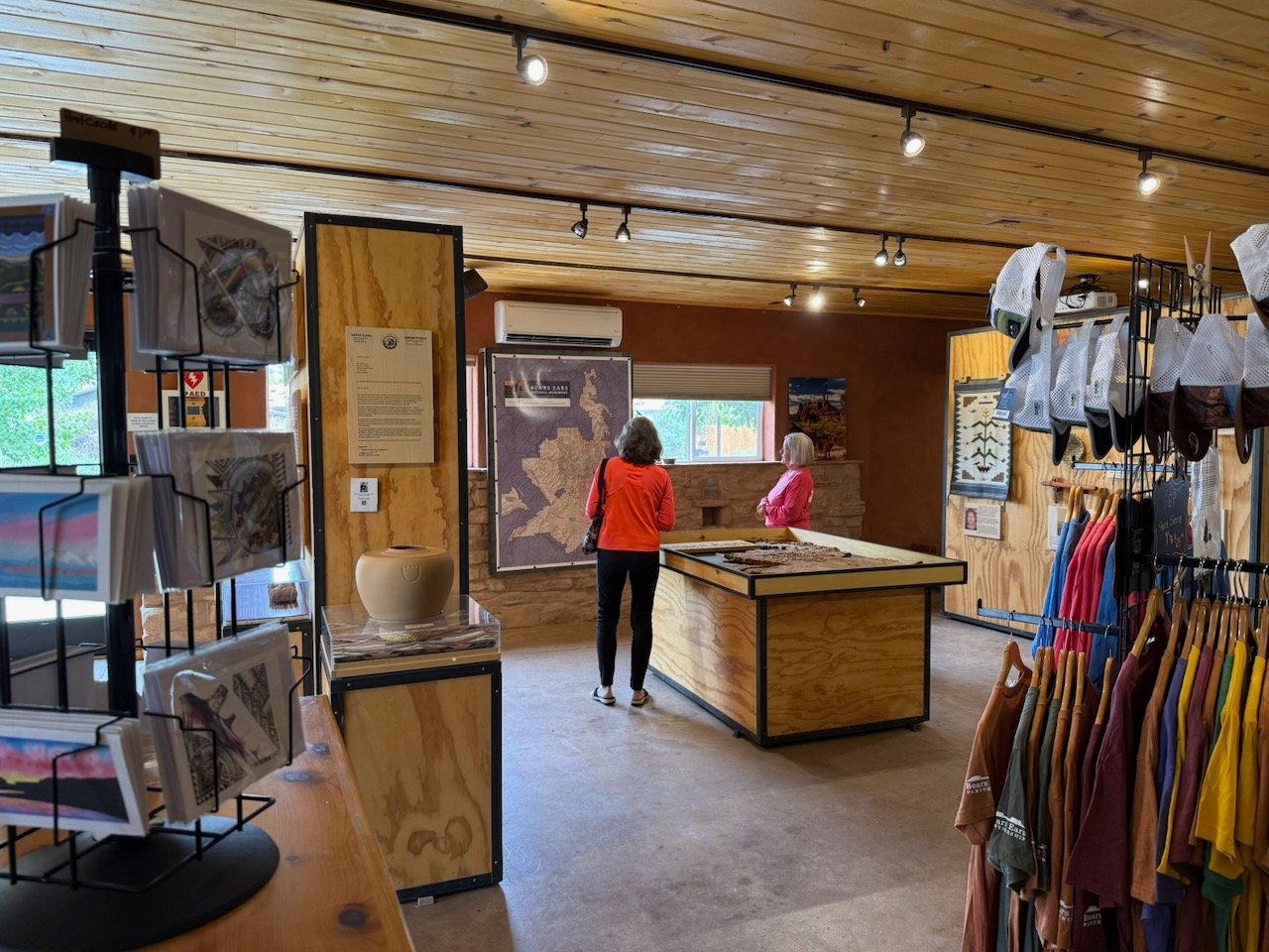
    A BEEC Visitors Center volunteer’s worst nightmare: a long line of people all buying myriad stickers of different sizes. It could happen. It did happen. The Bears Ears Partnership operates the Canyon Country Youth Corps, giving young people opportunities for service projects in the area.

    Remember in my last post where I discussed the open-range cattle? Well, apparently the VWR ambassadors reporting about this area guided a work project to fence off a set of structures, and this work team was gearing up to tackle it. And of course having the youth around the Center’s merchandise resulted in a “feeding frenzy” just before the work van was to leave for the morning! But Patricia sailed through it (no cash transactions with these kids) and no laborers were left behind.

    Patricia is with a visitor discussing the national monument and the importance of durable protection for places like it.

    We always meet interesting people here at the BEEC. Bluff is a nice waypoint between Moab and Monument Valley. As for international travelers, the French seem to be in the lead this year. And of course folks from all over the United States. We’ve even met folks we saw last year, one couple even came by the camper when we were off duty just to say hi.

    “What’s your tribe?” was a question this week. “Oh, a bit of Cherokee,” I replied. “My husband is Assiniboine, we’re from Montana,” she said. And we just had a lovely conversation.

    I have to confess that I kinda maybe broke a rule. I have mentioned that the BEEC is more about how to visit as opposed to where to visit. And we have a short list of places that the Partnership is comfortable sharing, for various reasons. These sites are located on the map that we typically hand out. But the truth is that a simple internet search will bring up a wealth of websites showing lots of other places. And so it is a challenge. Many of the websites are influencer-typical and hype about hidden secrets and such and are more interested in profits than protecting the landscape or respecting the people. But some are much better, revealing more than is liked, but also talking seriously about Visit With Respect and the details of the trail. And trail details are important, it allows people to gauge the difficulty, but it also helps to keep people from getting lost and creating dead-end side trails that encourage others to wander that way and destroys the fragile cryptobiotic soil crust. So in general, if a visitor comes in with a destination in mind, it is considered acceptable to help them get there safely or possibly redirecting to something else, depending on an educated guess of their aptitude and goals. We always want to make sure they understand how to visit. But it is, after all, public land.

    Three elderly ladies came in, attired in the gear you might expect from folks comfortable with desert hiking. Broad-rimmed sun hats, lightweight long sleeves and pants, well-worn shoes. And they were excited. They’d been in the area for a couple of days with a couple more to go and wanted to make the most of it.

    “We’d like to find hiking nearby!” a bright-eyed little lady smiled.

    “My advice is free, and worth every penny.” The smile turned into a big grin, apparently she was the organizer of the three.

    They had been to House on Fire, and even though the walk is pretty easy, one had struggled with the slick rock at the site due to knee pain. So they were looking to do hikes with a little less technical difficulty, even though they really enjoyed the backcountry hiking and seeing the structures and artwork.

    I really wanted them to enjoy the area without having to drive a long way for some of the other sites on the list. And I wanted them to find something they were comfortable with and they could safely do. But we don’t really have good trail information for the area between Bluff and highway 95 to the north. Our guidance is a bit sparse in that region.

    I said, “I did not tell you that you can search for things in this area online. And I did not tell you that there are some nice trail descriptions to help you determine what you can do.” After all, we’d just had a good talk about Visit With Respect. One lady jotted down a couple of notes. “Okay, we really appreciate you not helping us,” again with a grin.

    For Rachel’s visit, we wanted to show her a good smattering of this vast place, but we needed destinations that were close, had some shade, and we could complete before the heat of the day (remember, she is with child). And the best way to do that was to look online for good trail descriptions. We found one up the wash road and set off early in the morning.

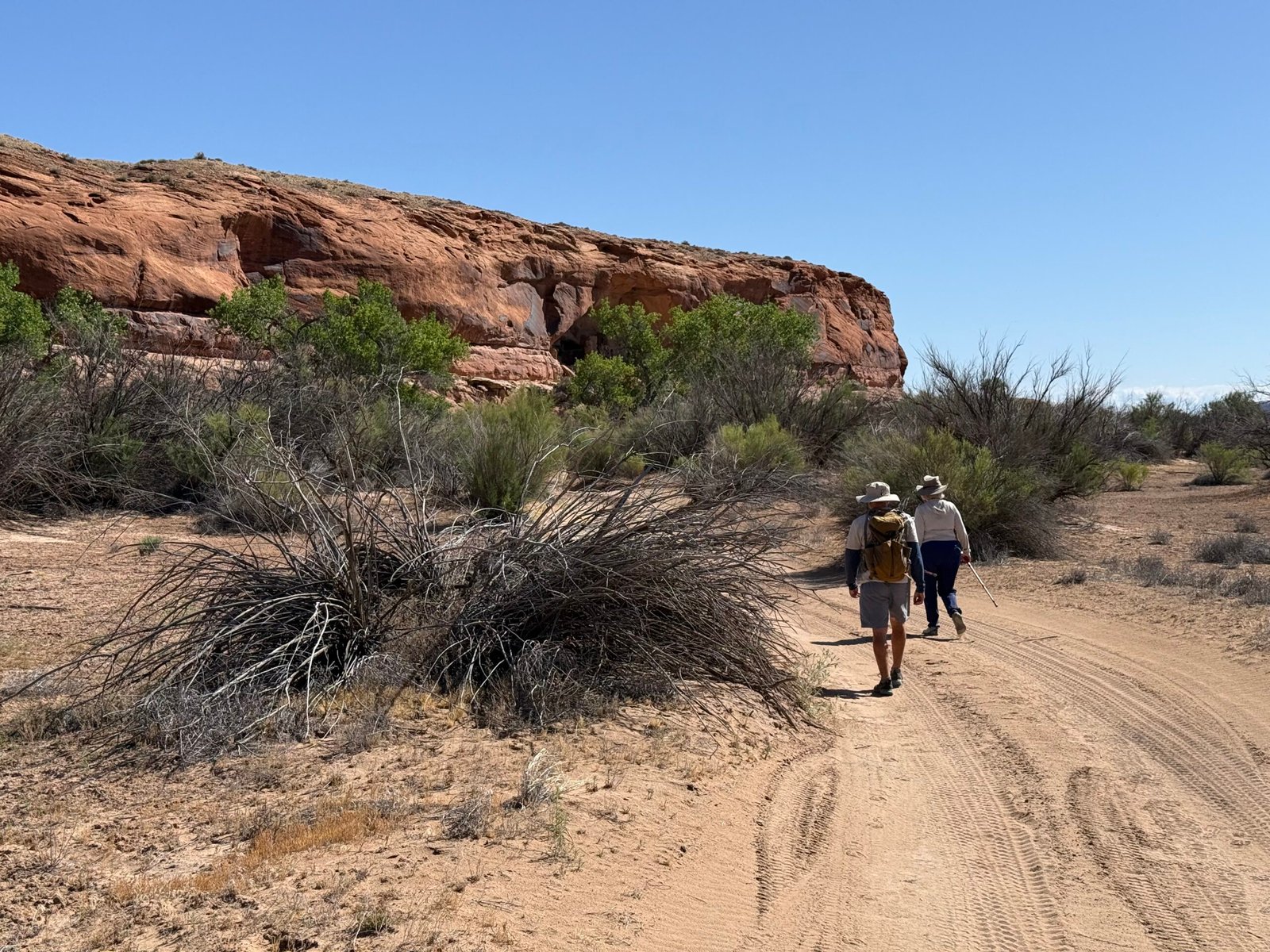
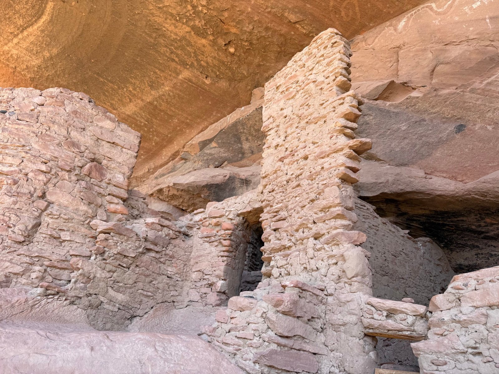
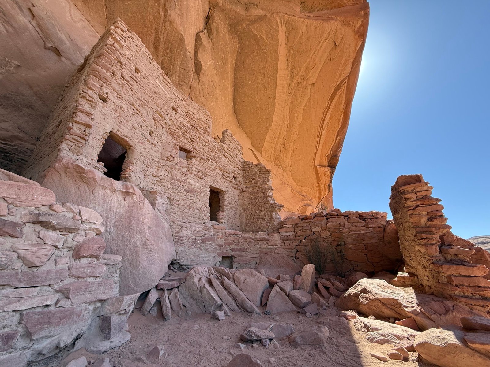
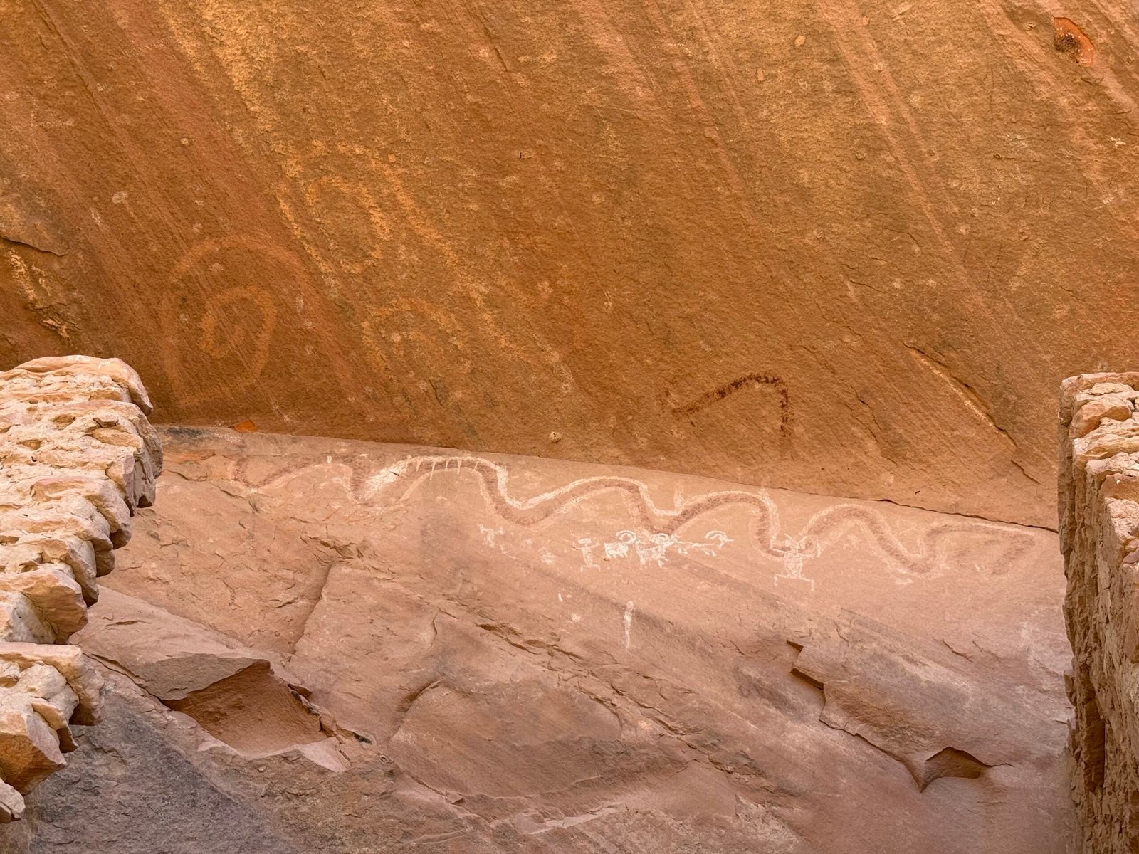
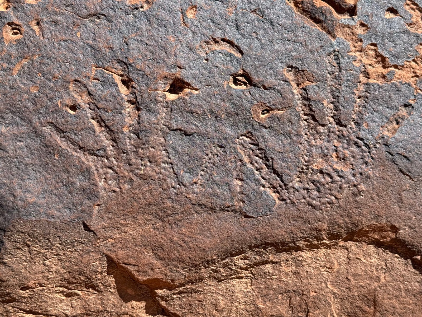
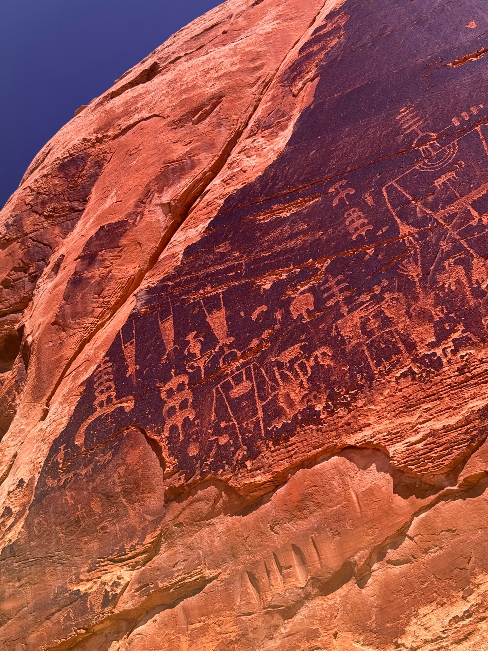
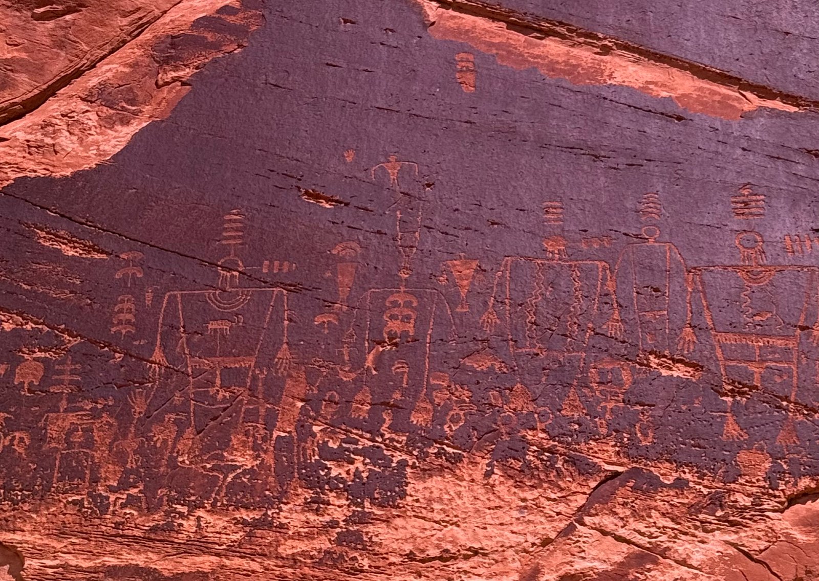
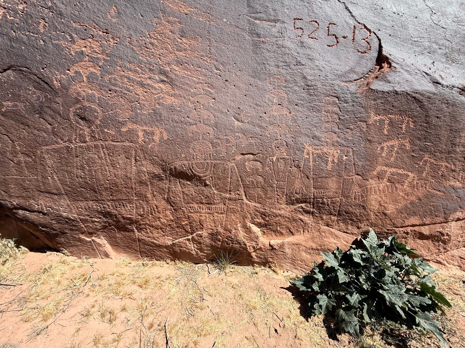
    It was pretty sweet, although none of them are necessarily cakewalks. The landscape changes, so there’s usually some navigating and second-guessing involved, brush and bugs can be problems. But we saw a couple of nice places. One was a bit out-of-the-way but had so many carvings into the rock. Turkey feet, corn, and my favorite, sharply-detailed stars. Around the structures we saw areas where implements were sharpened, metates where corn was ground, and extensive and expansive petroglyphs (carvings) and pictographs (paintings), and of course, combinations of the two.

    It was a good walk, and as we approached the sunny last leg of our journey back to the truck, we saw folk coming our way. Gearing up for a nice VWR discussion, I recognized that it was the three ladies we had met a couple days before! Again, they were all smiles.

    They had done their research and picked a trail they were comfortable with. And since I had only given them general information, I found it amazing that in all of Bears Ears we had run into them on the same trail, a long way up a remote dirt road! “You are the most unhelpful volunteer we have ever met,” one said cheerily. I will take that as a compliment.

    As I mentioned in an earlier post, Brandon is volunteering this month too. And he has spent significant time in this entire area, including Bears Ears, Escalante, and Capitol Reef. Now a river rat living in Kentucky, his favorite river runs lie in the Obed and Big South Fork. But he comes to these canyons every year bringing his packraft (something I’d never even heard of), which allows him to do multi-day backpacks where he can more easily maneuver between canyons as he searches for the wonders of the ancients.

    As our new neighbor, we invited him over for a campfire and began to chat about our experiences. Even though he is younger, we found we have a lot in common. Enjoying the remote places, traveling light, and even maybe being guilty of Ffej-ing his wife and friends (maybe that’s Nodnarb-ing?) when exploring new places. And it was remarkable to me how many of the same backcountry places we have explored in the Appalachian mountains. In fact, he was very familiar with the Joyce Kilmer/Slickrock wilderness, a refuge of mine.

    During the conversation, he mentioned how his wife had stuck with him through some “challenges” in the backcountry. So I began to relay our story of the ill-fated backpacking trip to the Hangover in the Slickrock wilderness.

    While dating, I found that Patricia had been on very few adventures, other than the occasional family camping trip. And since she was eager to try new things, I thought I’d impress her with a beautiful mountain wilderness that I seemed to always come back to when I needed a recharge.

    Now, while this sounds idyllic, it was decidely not. And since I have recounted this story before, I can use amazing technology to direct you to the tale here, in our Peruvian Odyssey. It’s a short read, and it will enlighten you on just how silly a young man can be when his alter-ego, Ffej, has taken over the task of trying to woo his future soul mate.

    But back to the campfire. As I was relaying the story to Brandon, no sooner than I had mentioned the Naked Ground trail when he blurted out BALL BUSTER! We all just cracked up about it with a good hearty, “been there, done that, got my butt kicked” laugh. You see, while the sign says “Naked Ground 3.1 miles,” someone had carved the more descriptive term in capital letters underneath. And I have never met anyone that could confirm this tale. Until now. Brandon also has the distinction of being bitten by our mutual pal, the copperhead!

    Here in Bears Ears, the three of us began to use some of our shared time off to explore new places. Brandon has shown us some amazing places and, in turn, we’ve had good luck in taking him to places that we had explored last year.

    Kirsten, our manager, has been awesome in letting us rearrange our time off to better match what we’d like to do. With the hot weather, we’ve shifted schedules so we could each get in early morning hikes, or trade out days for extended adventures. It’s all been another great experience. And even though we’ve been revisiting sites, we just there are just more and more things that we didn’t see the last time.

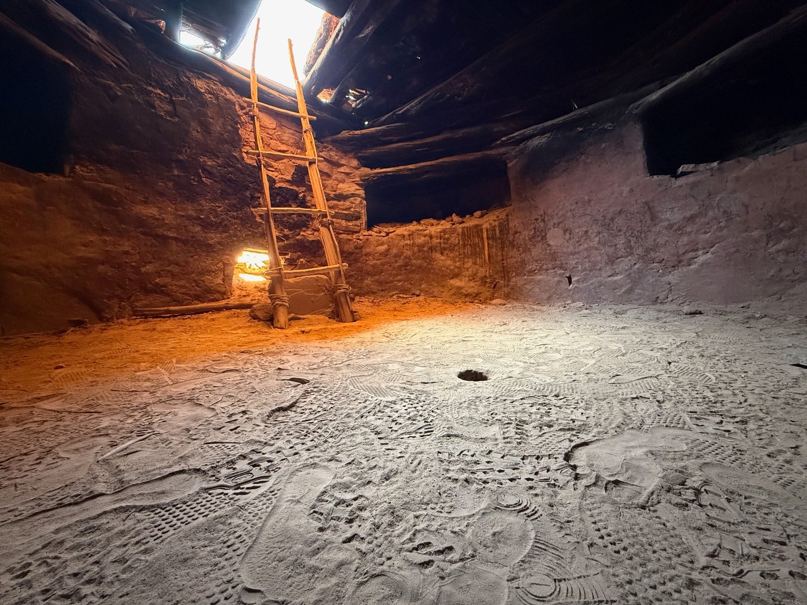
    A remote hike became a visit to a special kiva. The ancient puebloans treated them as sacred spaces, and used them for spiritual ceremonies, meetings, and as a way to pass down traditions. This one is spectacular, with the roof still intact after many, many centuries. In the center of the floor is a small hole called a sipapu. It symbolizes the portal through which their ancient ancestors first emerged to enter the present world.

    Having this at the center of this special meeting space is an incredible way to stay grounded with the past and the traditions. It would be as if every decision made or action taken here would be under the watchful eye of the ancients. Decisions would be made carefully. Traditions would be honored and passed down. Just this one small hole literally transforms this space. What a privilege to experience it.

    In the wonderful book Mayflower: A Story of Courage, Community, and War, Nathanial Philbrick considers the first 60 years of the Pilgrims’ journey to the New World. I feel he does an excellent job of describing the relationships between the Pilgrims and the surrounding tribes like the Wampanoag. The book is rich with the details that are not conveyed in textbooks, which are many times startling.

    One thing I remember from the book is that the tribes moved around as the seasons and food sources changed. And along some of the paths there were simple holes. But these holes were special, and they prompted the indigenous travelers to pause and remember their traditions and ancestors along the way. They continually reinforced their story, as story has been the only way human culture has maintained community for thousands of years. Even the bits of scrolls from 40 authors and 66 “books” were eventually manifested over 1500 years into the written form we call the Bible. It was all story, carefully handed down generation to generation through the ages.

    In The Story of B, the middle book of the Ishmael trilogy by Daniel Quinn, he establishes that it isn’t the “opposable thumb” that sets humans apart, but our ability to tell a story. Well observed, sir.

    Exploring a completely different area, we searched out petroglyphs created on large boulders that had tumbled from a high bluff. These stones had a dark patina on one face, created by bacterial interaction with minerals in the rock while still on the bluff wall. Upon breaking free, one boulder in particular came to rest with this face pointed like a modern day billboard in a direction that many could see, and it was alive with some incredible work. As I walked up to it, I noticed that the dark face produced a bright glare from the sun. But when I tilted my sunglasses to one side, the glare was greatly reduced! This surface was reflecting polarized light, something I did not expect. So now I’m walking around with my iPhone lens looking through my tilted sunglasses while I take pictures.

    Brandon relayed that a couple of these figures are “duck headed” and limited to the San Juan river valley. And they can be quite old. What is stunning is that they look like they were pecked into the rock last week!

    And how about that cougar paw on that last panel?

    Last year, Patricia and I attempted to see what is called the Kachina Panel, but we turned back due the potential for rain, especially after seeing darkening clouds. The river runners can access it easily, but to get to it by land, it requires several miles of wash-running down lower Comb Wash. Not a place to be in any kind of wetness, let alone a flash flood. So with this year’s forecast of hot-n-dry, the three of us gave it another go. And as last year, the Ranger just did a fantastic job, Brandon was impressed! We parked the truck before the last climb to San Juan Hill, and enjoyed a pleasant hike toward the river. We were amazed at just how much rockart is on this wall! It’s like trying to photograph the Grand Canyon where you just throw up you hands and say, “Oh well.” Not only do the petroglyphs span many centuries, but many cultures as well. People have been moving through here, from and to faraway places, for thousands of years.

    There is ongoing discussion as to whether the Ancient Puebloans abandoned the area abruptly because of duress or just simply walked away, expecting to return and pick up where they left off, when the climate improved.

    Kachinas are spiritual beings in puebloan culture. On this rock face they are large, they are elaborate, and they are many! The plant in the foreground is sacred datura, which has psychoactive compounds in its seeds and roots. It has been portrayed in ancient artwork and pottery. What a beautiful and mysterious-looking flower.

    These two shots show the use of an atlatl, which predates the bow and arrow. It is represented as a straight line with a circle near one end. On the left, you can see the deer has been struck and the hunter has another ready to throw. The wiggly line seems to represent a journey, sometimes it’s combined with a small spiral. In this one, a yucca plant is at one end. Is that a jackrabbit in front of the deer? On the right, another atlatl strike at a deer, the thrower seems to have his arm extended.

    Maybe my favorite find of the day! Bear paws with claws!

    Such a beautiful place! I could live here.

    It’s wild to imagine that in my formal education, I was taught that this was all essentially an empty desert wasteland. In fact, it has been alive with the peoples of many cultures for thousands of years.

    And they are still here. Today the BEEC freely hosted an indigenous art market, with several tribes represented. I was looking over a Zuni couple’s fetish carvings and the man began to tell me how these were used. He would make them for people to help bring rain, or assist in healing, or other needs. Or maybe to help them with their spirit in difficult times. I said, “So these are to bring hope then.” He lit up and said, “Yes, exactly! Thank you for sharing that.”

    So much beautiful work. And we were able to see Leo Blackhorse and his wife Amelia. We had a nice chat last year and it was good to see him again. The market was a bit slow in the morning, but it picked up in the afternoon. And according to Brandon, there was a lot of cheery dialogue and laughter, while he covered the BEEC today.
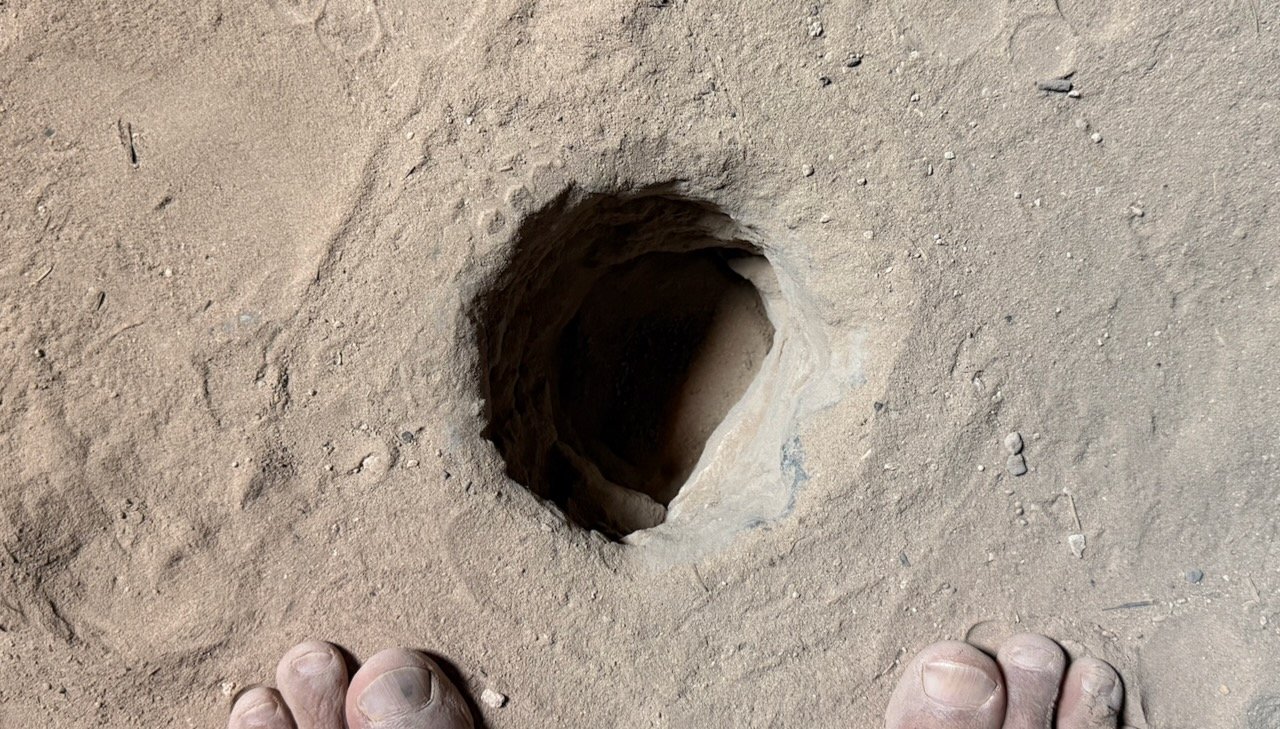
    Peoples.